


Great Horkesley, United Kingdom
Great Horkesley is a town of 2,476 people in England, United Kingdom.
Why visit Great Horkesley
Townapedia lists 2 museums and landmarks, 8 parks and trails, 11 places to eat, 1 place to stay and 2 attractions in and around town.
Highlights include McLauchlans of Boxted pick-your-own fruit farm, Vue, Camulodunum and Bull Meadow.
Weather in Great Horkesley
Forecast from MET Norway (CC BY 4.0). Full forecast
About Great Horkesley
Great Horkesley is a village and civil parish in the City of Colchester district of Essex, England, approximately 3 miles north of Colchester. At the 2021 census the parish had a population of 2,697.
From the Wikipedia article Great Horkesley (this version), under CC BY-SA 4.0.
Photos of Great Horkesley


Things to do2
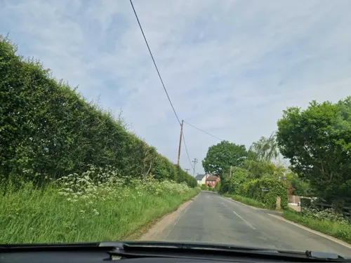
McLauchlans of Boxted pick-your-own fruit farm
Farm and orchard · 1.3 mi
53 Straight Road, Boxted
Mo-Sa 09:00-17:00, Su 09:00-16:00

Museums and landmarks2

Camulodunum
Monument and historic site · 3.3 mi
Roman castrum where Colchester, England now stands

Parks, trails and playgrounds8

Bull Meadow
Park · 3.2 mi
1.4 hectare Local Nature Reserve in Colchester in Essex

Colchester Castle Park
Park · 3.3 mi
Park in Colchester, Essex, England, UK


Lexden Gathering Grounds
Park · 3.2 mi
Essex Wildlife Trust Nature reserve


Hilly Fields, Colchester
Park · 3.2 mi
Local nature reserve in Colchester, England

JobServe Community Stadium
Sports field and stadium · 1.4 mi
United Way
Restaurants and cafes11
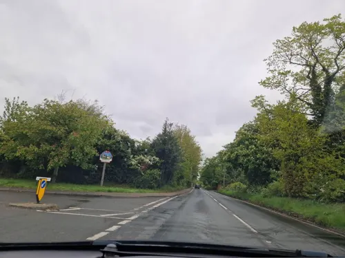
The Half Butt Inn
Restaurant · Pub · 0.8 mi
Nayland Road, Colchester
Mo-Tu 15:00-22:30; We-Th 12:00-23:00; Fr-Sa 12:00-00:00; Su 12:00-22:00
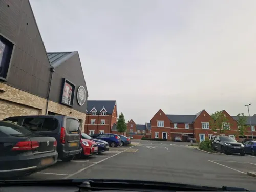
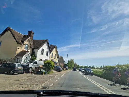
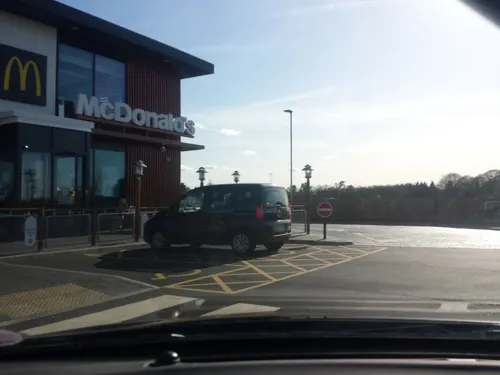




Wendy's
Fast food · Burger · 1.4 mi
Cuckoo Farm Way, Colchester
Mo-Th 07:00-23:00; Fr-Sa 07:00-24:00; Su 08:00-23:00
Greggs
Fast food · Sandwich, Bakery · 1.4 mi
Unit 2 United Way, Colchester
Mo-Sa 05:30-19:00; Su 07:00-17:30
Where to stay1
Churches and places of worship5
Shopping1
Gas and EV charging2
Schools, colleges and libraries2
The Bishop William Ward Church of England Primary School
School · Anglican · 0.8 mi
Coach Road, Great Horkesley
Healthcare2
Map of Great Horkesley
36 places. The map loads OpenStreetMap tiles when you open it.
Getting there and nearby towns
London Southend Airport (SEN) is the nearest airport with scheduled flights listed in OpenStreetMap, 27 miles away.
- Boxted 2 mi northeast, about 3 min by car
- Colchester 4 mi south, about 6 min by car
- Eight Ash Green 4 mi southwest, about 6 min by car
- Dedham 5 mi east, about 8 min by car
- Rowhedge 6 mi southeast, about 10 min by car
- Elmstead Market 6 mi southeast, about 10 min by car
- Layer de la Haye 6 mi south, about 10 min by car
- Sudbury 9 mi northwest, about 15 min by car
- Mistley 9 mi east, about 14 min by car
- Halstead 10 mi west, about 16 min by car
Drive times are estimates from straight-line distance, not routes.
Towns near Great Horkesley


Keep exploring
Local news
Headlines from INDB.
Reviews, tips and questions
Loading what members have shared...
Sources and licences
- GeoNames (CC BY 4.0): population, coordinates, regions and time zone
- Mapillary (see each image): photos
- OpenStreetMap contributors (ODbL 1.0): places, airports, map data
- Wikidata (CC0 1.0): elevation, founding date, time zone, website, landmarks and historic places
- Wikimedia Commons (see each image): photos
- Wikipedia (CC BY-SA 4.0): overview and history text
Photo credits
- The Roman Town Wall, Head Street to the Balkerne Gate 3, Maria, CC BY-SA 3.0
- Bull Meadow 3, Dudley Miles, CC BY-SA 4.0
- AJM Colchester Castle Park Spring 004-2 April Tulips, Amandajm, CC BY-SA 4.0
- Iron Latch 4, Dudley Miles, CC BY-SA 4.0
- Lexden Gathering Grounds 7, Dudley Miles, CC BY-SA 4.0
- Spring Lane Meadows 7, Dudley Miles, CC BY-SA 4.0
- St Leonard's Church, Lexden 02, Alansplodge, CC BY-SA 4.0
- Mrs Doris Brown and her two sons Richard and Robert who were both raised in chapel Cottage. Doris and her husband Walter lived in the cottage until March 2015 safely after the death of Doris on 13th..., No1dannyboy, CC BY-SA 3.0
- Dining room bottom left window, front room right and the window to Doris Browns Bedroom at the top., No1dannyboy, CC BY-SA 3.0
- Walter Brown sitting outside one of his sheds enjoying his garden on a warm day., No1dannyboy, CC BY-SA 3.0
- The shed that used to be the bathroom and a chimney to keep it warm., No1dannyboy, CC BY-SA 3.0
- Chapel cottage from the air, No1dannyboy, CC BY-SA 3.0
- View from the kitchen door, No1dannyboy, CC BY-SA 3.0
- Chapel Cottage, March 2015, after Walter Brown had to go into care 3 months short of becoming 100 years old, No1dannyboy, CC BY-SA 3.0
- View from the front gate, No1dannyboy, CC BY-SA 3.0
- The wrk kept garden that Walter brown started from scratch when he moved in with his wife Doris, No1dannyboy, CC BY-SA 3.0
- Street-level photo, edloach, CC BY-SA 4.0
- Street-level photo, edloach, CC BY-SA 4.0
- Street-level photo, edloach, CC BY-SA 4.0
- Street-level photo, edloach, CC BY-SA 4.0
- Street-level photo, edloach, CC BY-SA 4.0
- Street-level photo, IpswichEdits, CC BY-SA 4.0
- Street-level photo, edloach, CC BY-SA 4.0
- Street-level photo, IpswichEdits, CC BY-SA 4.0
- Street-level photo, edloach, CC BY-SA 4.0
- Street-level photo, edloach, CC BY-SA 4.0


Page built November 10, 2026. Spotted a mistake? Tell us or suggest a place.