


Charlbury, United Kingdom
Charlbury is a town of 2,830 people in England, United Kingdom.
Why visit Charlbury
Townapedia lists 6 museums and landmarks, 4 parks and trails, 10 places to eat and 1 place to stay in and around town.
Highlights include Charlbury Museum and Heritage Centre, Hawk Stone, Blenheim Farm and Blenheim Farm Nature Reserve.
Weather in Charlbury
Forecast from MET Norway (CC BY 4.0). Full forecast
About Charlbury
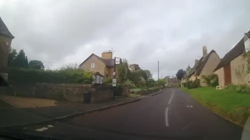
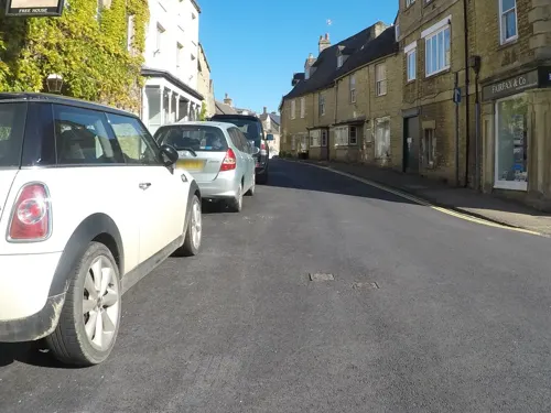
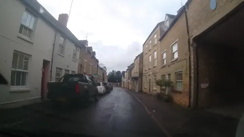
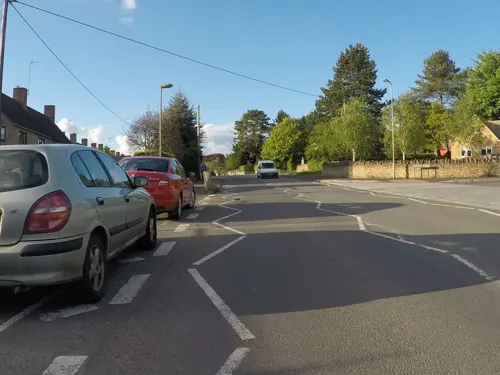
Charlbury () is a town and civil parish in the Evenlode valley, about 6 miles (10 km) north of Witney in the West Oxfordshire district of Oxfordshire, England. It is on the edge of Wychwood Forest and the Cotswolds. The 2011 Census recorded the parish's population as 2,830.
From the Wikipedia article Charlbury (this version), under CC BY-SA 4.0.
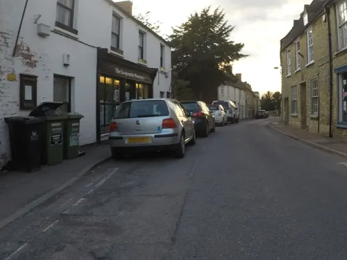
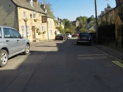
Photos of Charlbury

Museums and landmarks6

Charlbury Museum and Heritage Centre
Museum
Public museum in Oxfordshire, England

Hawk Stone
Monument and historic site · 2.8 mi
Neolithic standing stone in Oxfordshire, England

Parks, trails and playgrounds4


Restaurants and cafes10



Where to stay1

Notable people from Charlbury
 Hilda Horniblowchief controller of Queen Mary's Army Auxiliary Corps and educationistPhoto: Unknown author, CC BY 4.0
- Larcum KendallBritish watchmaker (1719-1790)
- Julia JoyceBritish actress
- Abram RawlinsonEnglish cricketer
- Anne WhiteheadEnglish Quaker preacher, c. 1624–1686
- Henry HollowayEnglish cricketer and Anglican priest
Born in Charlbury, according to Wikidata (CC0). Each name links to its Wikipedia article.
Churches and places of worship6
Shopping2
Schools, colleges and libraries3
Healthcare1
Map of Charlbury
33 places. The map loads OpenStreetMap tiles when you open it.
Getting there and nearby towns
Oxford Airport (OXF) is the nearest airport with scheduled flights listed in OpenStreetMap, 7 miles away.
- Stonesfield 3 mi southeast, about 4 min by car
- North Leigh 4 mi southeast, about 7 min by car
- Shipton under Wychwood 5 mi west, about 8 min by car
- Witney 6 mi south, about 10 min by car
- Woodstock 6 mi east, about 9 min by car
- Minster Lovell 6 mi southwest, about 10 min by car
- Ducklington 7 mi south, about 12 min by car
- Burford 8 mi southwest, about 13 min by car
- Kidlington 9 mi southeast, about 14 min by car
- Carterton 9 mi southwest, about 15 min by car
Drive times are estimates from straight-line distance, not routes.
Towns near Charlbury


Keep exploring
Local news
Headlines from INDB.
Reviews, tips and questions
Loading what members have shared...
Sources and licences
- GeoNames (CC BY 4.0): population, coordinates, regions and time zone
- Mapillary (see each image): photos
- OpenStreetMap contributors (ODbL 1.0): places, airports, map data
- Wikidata (CC0 1.0): elevation, founding date, time zone, website, landmarks and historic places
- Wikimedia Commons (see each image): photos
- Wikipedia (CC BY-SA 4.0): overview and history text
Photo credits
- Charlbury - Bell Hotel - 20240921073501, Simon Burchell, CC BY-SA 4.0
- Charlbury - Bull Inn - 20240921073558, Simon Burchell, CC BY-SA 4.0
- The Corner House, Market Street, Charlbury, Simon Burchell, CC BY-SA 4.0
- Gothic House, Church Street, Charlbury, Simon Burchell, CC BY-SA 4.0
- Spelsbury - Hawk Stone standing stone 700m south of Claridges Barn - 20240921102349, Simon Burchell, CC BY-SA 4.0
- Charlbury MarketSt CornerHouse WSW, Motacilla, CC BY-SA 4.0
- Bus DSC00655 (16387386262), Ed Webster, CC BY 2.0
- Street-level photo, richardf, CC BY-SA 4.0
- Street-level photo, trigpoint, CC BY-SA 4.0
- Street-level photo, richardf, CC BY-SA 4.0
- Street-level photo, richardf, CC BY-SA 4.0
- Street-level photo, trigpoint, CC BY-SA 4.0
- Street-level photo, richardf, CC BY-SA 4.0
- Street-level photo, richardf, CC BY-SA 4.0
- Street-level photo, richardf, CC BY-SA 4.0
- Street-level photo, richardf, CC BY-SA 4.0
- Street-level photo, richardf, CC BY-SA 4.0
- Street-level photo, richardf, CC BY-SA 4.0
- Street-level photo, trigpoint, CC BY-SA 4.0
Page built November 10, 2026. Spotted a mistake? Tell us or suggest a place.