


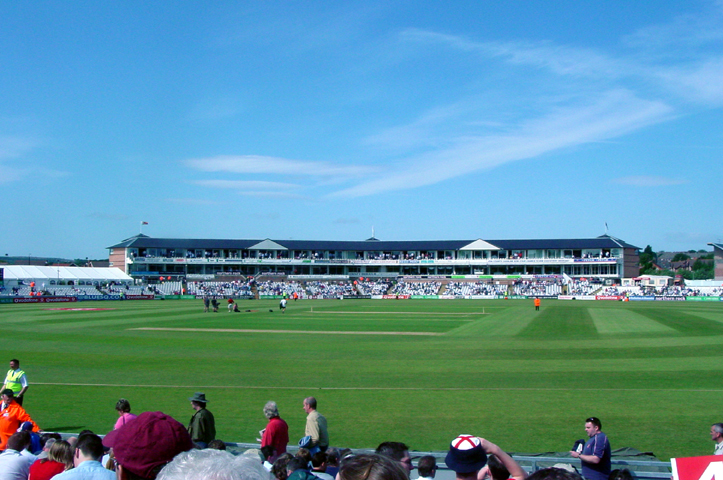
Chester-le-Street, United Kingdom
Chester-le-Street is a town of 36,917 people in England, United Kingdom.
Why visit Chester-le-Street
Townapedia lists 12 museums and landmarks, 11 parks and trails, 75 places to eat, 4 places to stay and 4 attractions in and around town.
Highlights include Chartershaugh Bridge, Chester New Bridge, Newcastle Road and Concangis Fort Officer's Quarters.
Weather in Chester-le-Street
Forecast from MET Norway (CC BY 4.0). Full forecast
About Chester-le-Street
Chester-le-Street () is a market town in County Durham, England. It is located around 6 miles (10 km) north of Durham and 9 miles (14 km) south of Newcastle-upon-Tyne. The town holds markets on Saturdays. At the 2021 census, the town had a population of 23,555.
From the Wikipedia article Chester-le-Street (this version), under CC BY-SA 4.0.
Travel tips from other travellers: Chester-le-Street on Wikivoyage (CC BY-SA 4.0).
Photos of Chester-le-Street


Things to do4
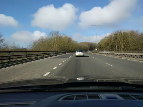
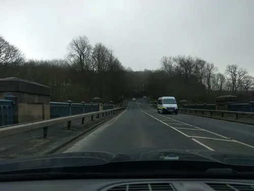
Chester New Bridge
Bridge · 0.7 mi
Bridge in Bournmoor, County Durham, England, UK


Victoria Viaduct
Bridge · 3.4 mi
Rail viaduct spanning the River Wear in North East England
Museums and landmarks12


Parks, trails and playgrounds11





Restaurants and cafes75
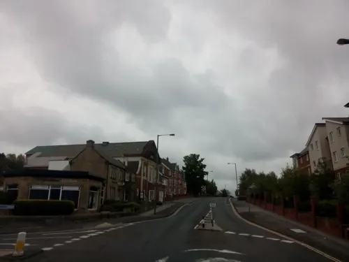
Happy Panda
Restaurant · Chinese
3 Bridge End, Chester-le-Street
Tu-Su 18:00-23:00; Mo off
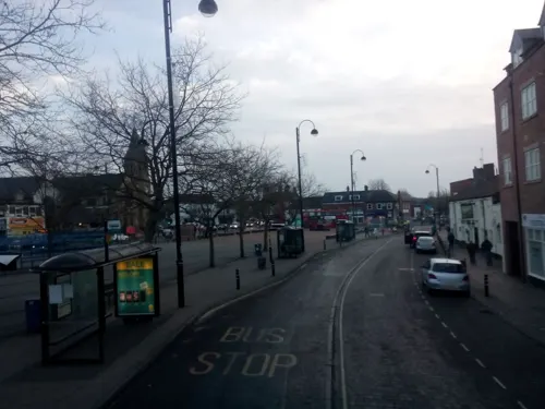
The Himalaya
Restaurant · Indian
11 South Burns, Chester-le-Street
Mo-Su 17:30-23:30
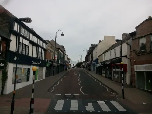
Costa
Cafe · Coffee Shop
42 Front Street, Chester-le-Street
Mo-Sa 07:00-18:00; Su 08:00-17:00
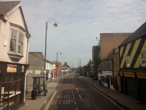
Fabio's
Restaurant · Italian · 0.4 mi
191 Front Street, Chester-le-Street
Mo-Th 12:00-21:00; Fr-Sa 12:00-22:00; Su 12:00-20:00
Graze at Coffee Bank
Cafe · Coffee Shop
1 Front Street, Chester-le-Street
Mo-Sa 08:30-16:30; Su off
Memories Of India
Restaurant · Indian
3 Pelaw Bank, Chester-le-Street
Su-Th 17:30-23:30; Fr,Sa 17:00-23:30
Pelaw Chinese Takeaway
Restaurant · 0.4 mi
Glenavon Avenue, Chester-le-Street
PH,We,Th,Su 17:00-21:30; Mo,Tu off; Fr,Sa 17:00-22:00

Deano's
Restaurant
15-33 Middle Chare, Chester-le-Street
Mo-We 17:00-21:00, Th 17:00-21:00,12:00-14:00, Fr,Sa 12:00-14:00,...
63 more on the map.
History
The Romans founded a fort named Concangis or Concagium, which was a Latinisation of the original Celtic name for the area, which also gave name to the waterway through the town, Cong Burn. The precise name is uncertain as it does not appear in Roman records, but Concangis is the name most cited today. Although a meaning 'place of the horse people' has been given, scholarly authorities consider the meaning of the name obscure.
Old English forms of the name include Cuneceastra and Conceastre, which takes its first two syllables from the Roman name, with the addition of the Old English word ceaster 'Roman fortification'. (For example, the old bell in St Mary and St Cuthbert is inscribed in Latin): Magister Robertus Aschbern, Decanus Cestriae, me fecit. Hac campana data Cuthbertus sic cocitataMaster Robert Ashburn, Dean of the fort, made me. This bell given is thus named Cuthbert The Universal Etymological English Dictionary of 1749 gives the town as Chester upon Street (and describes it as "a Village in the Bishoprick of Durham"). At some point this was shortened to the modern form.
Read more of the history
The town's history is ancient. Records date to a Roman-built fort called Concangis, which is the Chester (from the Latin castra) of the town's name; the Street refers to the paved Roman road that ran north–south through the town. The parish church of St Mary and St Cuthbert is where the body of St Cuthbert remained for 112 years (from 883 to 995 AD), before being transferred to Durham Cathedral.
An Old English translation of the Gospels was made in the 10th century: a word-for-word gloss of the Latin Vulgate text, inserted between the lines by Aldred the Scribe, who was Provost of Chester-le-Street.
There is evidence of Iron Age use of the River Wear near the town, Concangis was built alongside the Roman road Cade's Road (now Front Street) and close to the River Wear, around 100 AD, and was occupied until the Romans left Britain in 410 AD at the time, the Wear was navigable to at least Concangis and may also have provided food for the garrisons stationed there.
In 883, a group of monks, driven out of Lindisfarne seven years earlier, chose a base at Chester-le-Street, having been gifted a church by the Danish king, Guthred. They built a shrine to St Cuthbert, whose body they had borne with them. It became the seat of the Bishop of Lindisfarne, making the church a cathedral. There, the monks translated the Lindisfarne Gospels into English. They stayed for 112 years, leaving in 995 for a safer home in Durham. The title has been revived as the Roman Catholic titular see of Cuncacestre.
The church was rebuilt in stone in 1054 and, despite the loss of its bishopric, seems to have retained a degree of wealth and influence. In 1080, most of the huts in the town were burned and many people killed in retaliation for the death of Walcher, the first prince-bishop, at the hands of an English mob. The town was not recorded in the Domesday Book of 1086.
Cade's Road did not fall out of use but was hidden beneath later roads which became the Great North Road, the main route from London and the south to Newcastle and Edinburgh. The town's location on the road played a significant role in its development, as well as its name, as inns sprang up to cater for the travelling trade. This trade reached a peak in the early 19th century as more people and new mail services were carried by stagecoach, before declining as railways became more popular. The town was bypassed when the A167 road was routed around the town and this was later supplanted by the A1(M) motorway.
From the late 17th century onwards, coal was dug in increasing quantities in the region. At the same time, the growth of the mines and the influx of miners supported local businesses, not just the many inns but new shops and services, themselves bringing in more people to work in them. These people would later work in new industries established in the town to take advantage of its good communications and access to raw materials.
The population at the time of the 1841 census was 2,599 inhabitants.
On the evening of 5 October 1936, the Jarrow Marchers stopped at the town centre after their first day's walk. The church hall was used to house them before they continued onward the following day.
From the History section of Chester-le-Street on Wikipedia, under CC BY-SA 4.0.
Notable people from Chester-le-Street
 Bryan RobsonEnglish footballer and managerPhoto: Government of Thailand, CC BY 2.0
 Colin ToddFootballer; football manager (born 1948)Photo: Original: Robert Collette /..., Public domain
 Aidan ChambersBritish children's writer (1934–2025)Photo: Niccolò Caranti, CC BY-SA 3.0
 Grant LeadbitterEnglish association football player (born 1986)Photo: Timmy96, CC0
 Geordie WalkerBritish guitarist (1958–2023)Photo: Tuomas Vitikainen, CC BY-SA 3.0
 William Andrews NesfieldEnglish landscape architect and artist (1793-1881)Photo: James Duffield Harding (1798-1863), Public domain
- Betty BalfourBritish actress (1903-1977)
- Adam ReachEnglish association football player (born 1993)
- George DarwinEnglish footballer (1932-2019)
- Dave AdamsonEnglish footballer (born 1951)
- Anne CurryBritish military historian
- Paul AtkinsonBritish footballer (born 1966)
Born in Chester-le-Street, according to Wikidata (CC0). Each name links to its Wikipedia article.
Where to stay4
Churches and places of worship10
Chester-le-Street Methodist Church
Church · Methodist
North Burns, Chester-le-Street
Shopping15
Gas and EV charging6
Schools, colleges and libraries11
St Cuthbert's Catholic Primary School
School · Roman Catholic · 0.5 mi
Ropery Lane, Chester-le-Street
Chester-le-Street C of E (Controlled) Primary School
School · Anglican · 0.5 mi
Hilda Park, Chester-le-Street
Healthcare10
Chester-le-Street Community Hospital
Hospital · 0.5 mi
Front Street, Chester-le-Street
Gardiner Crescent Surgery
Clinic and pharmacy · 1.4 mi
21 Gardiner Crescent, Chester-le-Street
Map of Chester-le-Street
158 places. The map loads OpenStreetMap tiles when you open it.
Getting there and nearby towns
Newcastle International Airport (NCL) is the nearest airport with scheduled flights listed in OpenStreetMap, 13 miles away.
- Washington 4 mi northeast, about 6 min by car
- Houghton-Le-Spring 5 mi east, about 7 min by car
- Stanley 5 mi west, about 8 min by car
- Durham 6 mi south, about 9 min by car
- Hetton-Le-Hole 6 mi southeast, about 9 min by car
- Felling 7 mi north, about 10 min by car
- Gateshead 7 mi north, about 12 min by car
- Annfield Plain 7 mi west, about 11 min by car
- Newcastle upon Tyne 8 mi north, about 13 min by car
- Sunderland 8 mi northeast, about 13 min by car
Drive times are estimates from straight-line distance, not routes.
Towns near Chester-le-Street


Keep exploring
Local news
Headlines from INDB.
Reviews, tips and questions
Loading what members have shared...
Sources and licences
- GeoNames (CC BY 4.0): population, coordinates, regions and time zone
- Mapillary (see each image): photos
- OpenStreetMap contributors (ODbL 1.0): places, airports, map data
- Wikidata (CC0 1.0): elevation, founding date, time zone, website, landmarks and historic places
- Wikimedia Commons (see each image): photos
- Wikipedia (CC BY-SA 4.0): overview and history text
Photo credits
- ChesterleStreetFrontSt, JohnBlackburne, CC BY-SA 3.0
- Chester-le-Street Civic Heart outdoor sculpture 12 March 2009, User:Ultra7, Public domain
- Yd73 Ftp, Chester-le-Street Front Street, StreetdeckX1, CC BY-SA 2.0
- NK54 NVN in Chester-le-Street, NNRG Philadelphia Depot April 2025, Uyo_eae, CC BY-SA 4.0
- Penshaw Bridge, Martin Le Roy, CC BY-SA 4.0
- Riverside-ground, The original uploader was Ngb at English Wikipedia ., CC BY-SA 1.0
- Officers Quarters Concangis, JohnBlackburne, CC BY-SA 3.0
- Durham Riverside Aerial, Martin Le Roy, CC BY-SA 4.0
- St Mary and St Cuthbert's Church, Chester-le-Street, County Durham, JohnBlackburne, CC BY-SA 3.0
- Go North East Wright Streetlite NK15ENU on route 78 1, Kachun Ku from Newcastle-upon-Tyne, United Kingdom, CC BY-SA 2.0
- Go North East Wright Streetlite NK15ENF on route 8 (54225394092), Kachun Ku from Newcastle-upon-Tyne, United Kingdom, CC BY-SA 2.0
- Go North East Wright Streetlite NK15ENJ on route 8 (54226697375), Kachun Ku from Newcastle-upon-Tyne, United Kingdom, CC BY-SA 2.0
- Go North East Wright Streetlite NK15ENL on route 8 (54226534268), Kachun Ku from Newcastle-upon-Tyne, United Kingdom, CC BY-SA 2.0
- ChesterleStreetFlood, JohnBlackburne, CC BY-SA 3.0
- Go North East Wright Streetlite NK15ENT on route 78 (54226534398), Kachun Ku from Newcastle-upon-Tyne, United Kingdom, CC BY-SA 2.0
- Go North East Wright Streetlite NK15ENT on route 78 (54226542554), Kachun Ku from Newcastle-upon-Tyne, United Kingdom, CC BY-SA 2.0
- Go North East Wright Streetlite NK15ENU on route 78 2 (54225394407), Kachun Ku from Newcastle-upon-Tyne, United Kingdom, CC BY-SA 2.0
- Go North East Wright Streetlite NK15ENJ on route 8 (54226543099), Kachun Ku from Newcastle-upon-Tyne, United Kingdom, CC BY-SA 2.0
- NK67GNZ X21 (54226534503), Kachun Ku from Newcastle-upon-Tyne, United Kingdom, CC BY-SA 2.0
- Go North East Wright Streetlite NK15ENT on route 78 (54225394227), Kachun Ku from Newcastle-upon-Tyne, United Kingdom, CC BY-SA 2.0
- Go North East Wright Streetlite NK15ENU on route 78 3 (54226697040), Kachun Ku from Newcastle-upon-Tyne, United Kingdom, CC BY-SA 2.0
- Go North East Wright Streetlite NK15ENR on route 78 (54226301661), Kachun Ku from Newcastle-upon-Tyne, United Kingdom, CC BY-SA 2.0
- Go North East Wright Streetlite NK15ENJ on route 8 (54226543139), Kachun Ku from Newcastle-upon-Tyne, United Kingdom, CC BY-SA 2.0
- Street-level photo, livingwithdragons, CC BY-SA 4.0
- Street-level photo, livingwithdragons, CC BY-SA 4.0
- Street-level photo, livingwithdragons, CC BY-SA 4.0
- Street-level photo, livingwithdragons, CC BY-SA 4.0
- Street-level photo, livingwithdragons, CC BY-SA 4.0
- Street-level photo, livingwithdragons, CC BY-SA 4.0
- Street-level photo, livingwithdragons, CC BY-SA 4.0
- Street-level photo, livingwithdragons, CC BY-SA 4.0
- Street-level photo, livingwithdragons, CC BY-SA 4.0
- Street-level photo, livingwithdragons, CC BY-SA 4.0
- Street-level photo, livingwithdragons, CC BY-SA 4.0
- Street-level photo, livingwithdragons, CC BY-SA 4.0
- Street-level photo, floatingboater, CC BY-SA 4.0
- Street-level photo, floatingboater, CC BY-SA 4.0
- Street-level photo, livingwithdragons, CC BY-SA 4.0
- Street-level photo, livingwithdragons, CC BY-SA 4.0
- Street-level photo, livingwithdragons, CC BY-SA 4.0
- Street-level photo, livingwithdragons, CC BY-SA 4.0
- Street-level photo, livingwithdragons, CC BY-SA 4.0
- Street-level photo, livingwithdragons, CC BY-SA 4.0
- Street-level photo, livingwithdragons, CC BY-SA 4.0
- Street-level photo, livingwithdragons, CC BY-SA 4.0
- Street-level photo, livingwithdragons, CC BY-SA 4.0
- Street-level photo, livingwithdragons, CC BY-SA 4.0
- Street-level photo, livingwithdragons, CC BY-SA 4.0


Page built November 10, 2026. Spotted a mistake? Tell us or suggest a place.