


Why visit Stanley
Townapedia lists 14 museums and landmarks, 12 parks and trails, 47 places to eat, 1 place to stay and 5 attractions in and around town.
Highlights include Causey Arch, Beamish, The Living Museum of The North, Beamish Colliery and Beamish Park Golf Course.
Weather in Stanley
Forecast from MET Norway (CC BY 4.0). Full forecast
About Stanley
Stanley is a town and civil parish in County Durham, England. Centred on a hilltop between Chester-le-Street and Consett, it lies south-west of Gateshead. The town's name is derived from the Old English stān and lēah, meaning "stony woodland clearing".
From the Wikipedia article Stanley, County Durham (this version), under CC BY-SA 4.0.
Things to do5

Causey Arch
Bridge · 2.1 mi
Bridge in Stanley, County Durham, England


Museums and landmarks14

Beamish, The Living Museum of The North
Museum · 1.9 mi
Open-air museum in County Durham, United Kingdom

2 more on the map.
Parks, trails and playgrounds12




Restaurants and cafes47
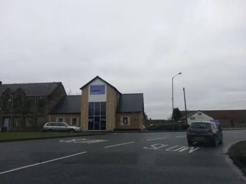
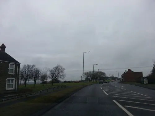



35 more on the map.
History
Some archaeological evidence of possible Iron Age and Roman activity has been found in the Stanley area.
Stanley is referred to in an early 13th century episcopal actum – a documented decision – of Richard Poore, Bishop of Durham from 1228 to 1237. Dated between 1228 and 1234, it confirms the granting of the vill of Stanley and some land in Durham to William de Kilkenny.
The first printed map of the Bishopric of Durham was created in 1576. Published in 1579 as part of the cartographer Christopher Saxton's county atlas, it shows Stanley as "Standley". In 1611, John Speed, a famous English mapmaker who built on Saxton's work, created a map of the bishopric that also shows Stanley as "Standley".
The 1909 West Stanley Pit Disaster, one of the worst in the history of British coal mining, occurred at West Stanley Colliery on 16 February of that year. 168 men and boys were killed. An explosion at the same colliery in 1882 had killed 13 men. On 22 August 1947, an explosion at the Louisa Morrison Colliery killed 22 men.
Stanley was served by the Stanhope and Tyne Railway, which had two stations in the town: West Stanley, and Annfield Plain. Both closed in 1955.
Read more of the history
Tanfield Lea was the site of the Ever Ready company's largest British battery factory, a major local employer. The factory opened, to much fanfare, in 1968, had around 950 employees – mainly former miners – at its peak in the 1970s, and closed in 1996. The British Steel plant in the neighbouring town of Consett (some 7 miles (11 km) from Stanley) also had many ex-miners among the several thousand employed when it closed in 1980, part of a wave of redundancies affecting workers in the traditional heavy industries of the region.
The Stanley Blues Festival took place on the first weekend in August between 1993 and 2007, with appearances by local, national, and international blues artists and other musical acts. Nearly 15,000 people attended in 2002, the event's tenth anniversary. With support from the then-Derwentside District Council, Durham County Council and the regional arm of Arts Council England, admission was free.
In mid-2023, Stanley Town Council handed back Stanley Civic Hall, the town's long-standing arts venue and community hub, to Durham County Council. Amidst political controversy, it closed shortly afterwards, and was put up for sale in early 2024. The Civic Hall was formerly known as the Lamplight Arts Centre, which opened in 1961. The council had taken over its running in mid-2013. The Civic Hall hosted concerts, recitals, plays and shows in the Alun Armstrong Theatre, had an independent cinema, put on exhibitions, held classes and seminars, and was a weddings and corporate events venue.
In late 2023, the owners of the Beamish Football Centre training ground announced that government funding had been secured for a major refurbishment and upgrade, with work starting in 2024.
From the History section of Stanley, County Durham on Wikipedia, under CC BY-SA 4.0.
More about Stanley
Geography
The civil parish, created in 2007, incorporates the town of Stanley and the following villages and settlements:
to the north of the town centre: Shield Row, Kip Hill and Causey
to the south-west: Oxhill, Catchgate, New Kyo, Greencroft and Annfield Plain
and to the north-west: Tanfield Lea, Harperley, White-le-Head, Tantobie, Coppy, Tanfield and Clough Dene.
Economy
The three largest employment sectors for residents in the local area are retail, manufacturing, and health and social work, while the three largest industry groups for local businesses are construction; professional, scientific and technical services; and retail.
Retailers in the town centre have faced significant competition from larger retail and leisure destinations elsewhere, including Clifford Road Retail Park, the MetroCentre, and Newcastle and Durham city centres. Online shopping, encouraged by the COVID-19 pandemic, has also changed shopping patterns and contributed to a weakening of footfall.
Stanley's main shopping area, Front Street, is pedestrianised, housing independent shops and chain stores. A market is held on Thursdays and Saturdays; it has declined over the years.
There are several prominent buildings in the centre of Stanley that are vulnerable or vacant.
Education
As well as several primary schools, Stanley has two secondary schools: North Durham Academy,
and Tanfield School, a specialist science and engineering college. St Bede's Catholic School & Sixth Form College, an academy, is in the nearby village of Lanchester.
There are public libraries in Annfield Plain, South Moor and at the Louisa Centre, with many others in the surrounding area.
From the Wikipedia article Stanley, County Durham, under CC BY-SA 4.0.
Notable people from Stanley
 Yvonne RidleyBritish journalist, war correspondent and political activistPhoto: Jarle H. Moe | jarlehm.com /..., CC BY-SA 2.0
 Lewis MileyEnglish association football playerPhoto: Perchybits, CC0
 David HorsleyEnglish-American film director (1873–1933)Photo: Robert Grau, Public domain
 Ross AdamsEnglish television actorPhoto: Meena, CC BY-SA 4.0
 Brian TinnionEnglish football player and manager (born 1968)Photo: Matt101 ( talk ), CC BY-SA 3.0
 Malcolm RidleyBritish actorPhoto: SteveUllathornePhotography, CC BY-SA 4.0
- Ben WilsonEnglish footballer (born 1992)
- Alan DuffyBritish footballer (born 1949)
- Liam GibsonEnglish association football player (born 1997)
- Joe Birbeckassociation football player (1932-2016)
- George WillisEnglish footballer (1926-2011)
- George IveyFootballer (1923-1979)
Born in Stanley, according to Wikidata (CC0). Each name links to its Wikipedia article.
Where to stay1
Churches and places of worship9
Shopping7
Gas and EV charging1
Schools, colleges and libraries14
Healthcare6
Map of Stanley
116 places. The map loads OpenStreetMap tiles when you open it.
Getting there and nearby towns
Newcastle International Airport (NCL) is the nearest airport with scheduled flights listed in OpenStreetMap, 12 miles away.
- Annfield Plain 2 mi southwest, about 3 min by car
- Consett 5 mi west, about 9 min by car
- Whickham 5 mi north, about 9 min by car
- Blaydon-on-Tyne 7 mi north, about 11 min by car
- Newcastle upon Tyne 8 mi northeast, about 13 min by car
- Prudhoe 9 mi northwest, about 14 min by car
- Gosforth 10 mi north, about 16 min by car
- Hebburn 10 mi northeast, about 17 min by car
- Hetton-Le-Hole 11 mi east, about 17 min by car
- Jarrow 12 mi northeast, about 19 min by car
Drive times are estimates from straight-line distance, not routes.
Towns near Stanley


Keep exploring
Local news
Headlines from INDB.
Reviews, tips and questions
Loading what members have shared...
Sources and licences
- GeoNames (CC BY 4.0): population, coordinates, regions and time zone
- Mapillary (see each image): photos
- OpenStreetMap contributors (ODbL 1.0): places, airports, map data
- Wikidata (CC0 1.0): elevation, founding date, time zone, website, landmarks and historic places
- Wikimedia Commons (see each image): photos
- Wikipedia (CC BY-SA 4.0): overview and history text
Photo credits
- Causey Arch, Unknown author, CC BY-SA 3.0
- Beamish - The Living Museum of The North - 12, Benjamin Smith, CC BY-SA 4.0
- 20190911-Go-North-East-713 (cropped), User:Alex Noble, CC0
- 20190911-Go-North-East-713, User:Alex Noble, CC0
- Street-level photo, stevenhorner, CC BY-SA 4.0
- Street-level photo, stevenhorner, CC BY-SA 4.0
- Street-level photo, stevenhorner, CC BY-SA 4.0
- Street-level photo, stevenhorner, CC BY-SA 4.0
Page built November 10, 2026. Spotted a mistake? Tell us or suggest a place.