


Clenchwarton, United Kingdom
Clenchwarton is a town of 1,733 people in England, United Kingdom.
Why visit Clenchwarton
Townapedia lists 35 museums and landmarks, 23 parks and trails, 110 places to eat, 7 places to stay and 3 attractions in and around town.
Highlights include King's Lynn Arts Centre, Majestic Cinema, True's Yard Fisherfolk Museum and True's Yard Museum.
Weather in Clenchwarton
Forecast from MET Norway (CC BY 4.0). Full forecast
About Clenchwarton
Clenchwarton is a village, civil parish and electoral ward in the English county of Norfolk.
From the Wikipedia article Clenchwarton (this version), under CC BY-SA 4.0.
Things to do3
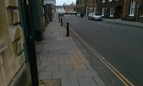
King's Lynn Arts Centre
Cinema and theater · 1.5 mi
Arts centre and theatre in King's Lynn, England, formerly St. George's Guildhall
29 King Street, King's Lynn


Museums and landmarks35

True's Yard Museum
Museum · 1.6 mi
Social history museum in King's Lynn, Norfolk



Red Mount Chapel
Monument and historic site · Catholic · 2.0 mi
2017 May 13-Sep 09 We,Sa,Su 13:00-16:00; 2017 Sep 10 10:00-16:00
The Old Blubber House
Monument and historic site · 1.8 mi
This is the site of the old Blubber House built In 1775. Horses towed the ships up the Nar to this site where the blubber house was....
Whale
Monument and historic site · 1.7 mi
Monument of a whale made from wood with a seating area underneath. Is fairly worn however
23 more on the map.
Parks, trails and playgrounds23

The Walks
Park · 2.0 mi
Park in King's Lynn, Norfolk, England, United Kingdom




11 more on the map.
Restaurants and cafes110
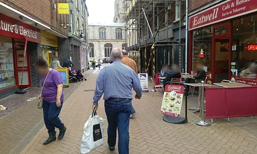
Tipsy Teapot
Restaurant · Burger, Coffee Shop, Sandwich, Chicken, American, Ice Cream · 1.6 mi
Quirky restaurant and Cocktails with upstairs party bar for dancing
9 High Street, King's Lynn
Mo-Th 12:00-23:00; Fr-Sa 12:00-24:00; Su 12:00-18:00
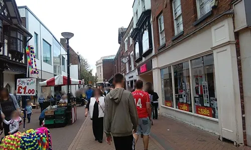
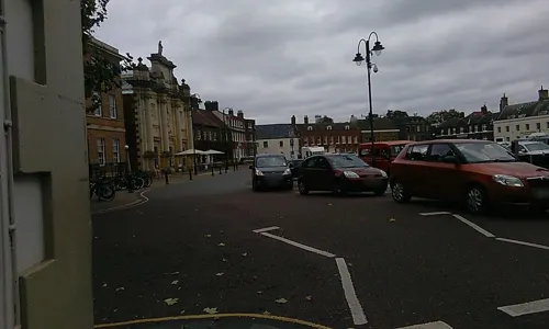

Pearl River
Restaurant · Chinese · 1.7 mi
John Kennedy Road, King's Lynn
Su-Th 12:00-14:00,17:30-23:00; Fr-Sa 12:00-14:00,17:30-23:30

Caffè Nero
Cafe · Coffee Shop · 1.6 mi
141 Norfolk Street, King's Lynn
Mo-Sa 07:30-17:30, Su 08:00-17:00

Encore
Bar and pub · 1.7 mi
105 Norfolk Street, King's Lynn
We-Th 17:00-23:00, Fr-Sa 12:00-01:00, Su 12:00-20:00
Ferry Lane Social Club
Bar and pub · 1.4 mi
Ferry Lane, King's Lynn
Th-Sa 12:00-23:00; We 16:00-20:00; Su 12:00-20:00
Nip and Growler Ale House
Bar and pub · 1.5 mi
68 High Street, King's Lynn
Mo-Th 16:00-22:00; Fr,Sa 12:00-23:00; Su 12:00-19:00
98 more on the map.
History
Clenchwarton's name is of Anglo-Saxon origin and derives from the Old English for a hill dweller's farmstead or settlement.
In the Domesday Book of 1086, Clenchwarton is recorded as an abandoned village with no recorded population in the hundred of Freebridge. The village was part of the estates of William d'Ecouis. The abandonment of the village was likely the result of the Norman reprisals in retaliation for the Ely Rebellion of 1070, led by Hereward the Wake.
The village was also surveyed by the Victorian traveller, John Marius, in the 1870s. He wrote the following about the village in the Imperial Gazetteer: "church is old but good. There are a N.Methodist chapel, and a national school."
During the Second World War, anti-tank defences were built in Clenchwarton to defend against a possible German invasion of East Anglia.
From the History section of Clenchwarton on Wikipedia, under CC BY-SA 4.0.
More about Clenchwarton
Geography
According to the 2021 census, the population of Clenchwarton is 2,223 people which shows an increase from the 2,171 people listed in the 2011 census.
The parish is bordered to the east by the River Great Ouse and to the south by the A17, between Newark-on-Trent and King's Lynn.
From the Wikipedia article Clenchwarton, under CC BY-SA 4.0.
Where to stay7
Churches and places of worship18
The Salvation Army - King's Lynn
Church · Salvation Army · 1.8 mi
5 Wellesley Street, King's Lynn
Shopping30
Gas and EV charging2
Schools, colleges and libraries10
Whitefriars Church of England Primary Academy
School · Anglican · 1.8 mi
Whitefriars Road, King's Lynn
Healthcare3
Map of Clenchwarton
241 places. The map loads OpenStreetMap tiles when you open it.
Getting there and nearby towns
RAF Marham (KNF) is the nearest airport with scheduled flights listed in OpenStreetMap, 11 miles away.
- King's Lynn 2 mi east, about 3 min by car
- West Walton 9 mi southwest, about 14 min by car
- Wisbech 10 mi southwest, about 17 min by car
- Downham Market 10 mi south, about 17 min by car
- March 18 mi southwest, about 29 min by car
- Necton 19 mi southeast, about 31 min by car
- Fishtoft 20 mi northwest, about 32 min by car
- Spalding 21 mi west, about 34 min by car
- Mundford 21 mi southeast, about 34 min by car
- Boston 22 mi northwest, about 36 min by car
Drive times are estimates from straight-line distance, not routes.
Towns near Clenchwarton


Keep exploring
Local news
Headlines from INDB.
Reviews, tips and questions
Loading what members have shared...
Sources and licences
- GeoNames (CC BY 4.0): population, coordinates, regions and time zone
- Mapillary (see each image): photos
- OpenStreetMap contributors (ODbL 1.0): places, airports, map data
- Wikidata (CC0 1.0): elevation, founding date, time zone, website, landmarks and historic places
- Wikimedia Commons (see each image): photos
- Wikipedia (CC BY-SA 4.0): overview and history text
Photo credits
- True's Yard King's Lynn, Alienturnedhuman ( talk ), Public domain
- Kings-lynn-cinema, Alienturnedhuman at English Wikipedia, Public domain
- NorfolkArena, Dalags, CC BY-SA 3.0
- Kings-lynn-greyfriars, Original uploader was Alienturnedhuman at en.wikipedia, Public domain
- King's Lynn, St Nicholas' chapel (32523511143), Jules & Jenny from Lincoln, UK, CC BY 2.0
- King's Lynn and West Norfolk - The Church of St John the Evangelist - 20220613151604, FromMorningToMidnight, CC BY-SA 4.0
- Kings-lynn-walks-and-red-mount, Alienturnedhuman at English Wikipedia, Public domain
- Street-level photo, sk53_quint, CC BY-SA 4.0
- Street-level photo, sk53_quint, CC BY-SA 4.0
- Street-level photo, sk53_quint, CC BY-SA 4.0
- Street-level photo, sk53_quint, CC BY-SA 4.0
- Street-level photo, sk53_quint, CC BY-SA 4.0
- Street-level photo, sk53_quint, CC BY-SA 4.0
- Street-level photo, sk53_quint, CC BY-SA 4.0
- Street-level photo, sk53_quint, CC BY-SA 4.0
- Street-level photo, sk53_quint, CC BY-SA 4.0
- Street-level photo, sk53_quint, CC BY-SA 4.0
- Street-level photo, sk53_quint, CC BY-SA 4.0
- Street-level photo, sk53_quint, CC BY-SA 4.0
- Street-level photo, sk53_quint, CC BY-SA 4.0
- Street-level photo, sk53_quint, CC BY-SA 4.0
- Street-level photo, sk53_quint, CC BY-SA 4.0
Page built November 10, 2026. Spotted a mistake? Tell us or suggest a place.