


Why visit Necton
Townapedia lists 3 museums and landmarks, 5 places to eat and 1 place to stay in and around town.
Highlights include Sporle Memorial.
Weather in Necton
Forecast from MET Norway (CC BY 4.0). Full forecast
About Necton
Necton is a village situated on a turning off the A47 main road between Swaffham and East Dereham in the Breckland district of Norfolk, England. As at the 2001 census it had a population of 1,865 residents and an area of 15.48 km2 (5.98 sq mi), increasing to a population of 1,923 at the 2011 census. It has a number of facilities including a primary school, playing field, social club, pub, post office a shop, a butcher's and an Asda Express fuel station at the top of the village along the A47.
From the Wikipedia article Necton (this version), under CC BY-SA 4.0.
Museums and landmarks3

Sporle Memorial
Monument and historic site · 1.7 mi
Brick and flint square base with inscribed slate top
Restaurants and cafes5
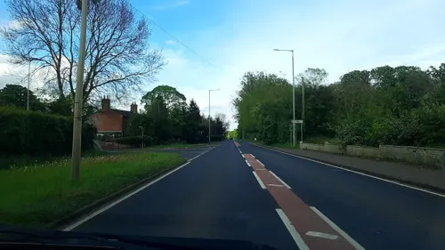
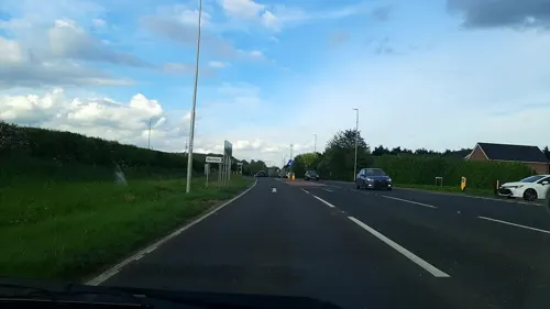
Costa
Cafe · Coffee Shop · 0.5 mi
1 Rudge Way, Swaffham
Mo-Fr 06:30-20:00; Sa-Su 07:00-19:00
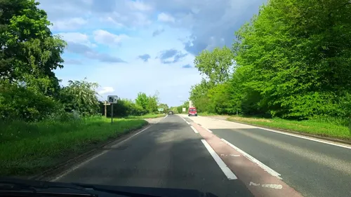

King Charles III
Bar and pub · 2.2 mi
70 The Street, King's Lynn
We-Th 17:30-22:00; Fr 15:30-23:00; Sa 12:00-23:00; Su 12:00-20:00;...

Where to stay1

Churches and places of worship8


St Mary's Church, East Bradenham
Church · 3.3 mi
Church in East Bradenham, Norfolk, England, UK

History
The place name "Necton" is first attested in the Domesday Book of 1086, where it appears as Nechetuna and Neketuna. The name means "town or settlement by a neck of land" (Necton is situated at the foot of a ridge).
All Saints' church, dating from the 14th century, although its tower was rebuilt in the 19th century, is at the centre of the village in the Benefice of Necton. It is a grade I listed building. One of its main attractions is the hammerbeam and archbraced nave roof with its carved angels.
In the churchyard is a 14th-century grade II* listed table tomb reputed to be that of the Countess of Warwick.
There is an old mill dating back to 1782 that was in full working order until the 1960s. Necton tower mill had been converted into a single-storey dwelling with a flat roof by 1970, and it is presently a retail facility.
Necton Diner was a filming location for the locally-set film The Goob (2014). An electricity substation planned in the parish is seen as vital to the harnessing of offshore wind-generated power, connecting turbines in the North Sea to the National Grid.
From the History section of Necton on Wikipedia, under CC BY-SA 4.0.
Gas and EV charging9
Schools, colleges and libraries2
Map of Necton
28 places. The map loads OpenStreetMap tiles when you open it.
Getting there and nearby towns
RAF Marham (KNF) is the nearest airport with scheduled flights listed in OpenStreetMap, 9 miles away.
- Shipdham 5 mi east, about 8 min by car
- East Dereham 7 mi east, about 11 min by car
- North Elmham 10 mi northeast, about 16 min by car
- Foulsham 13 mi northeast, about 22 min by car
- Attleborough 14 mi southeast, about 22 min by car
- Weeting 14 mi southwest, about 23 min by car
- Thetford 16 mi south, about 26 min by car
- King's Lynn 17 mi northwest, about 28 min by car
- Downham Market 17 mi west, about 27 min by car
- Bowthorpe 19 mi east, about 30 min by car
Drive times are estimates from straight-line distance, not routes.
Towns near Necton


Keep exploring
Local news
Headlines from INDB.
Reviews, tips and questions
Loading what members have shared...
Sources and licences
- GeoNames (CC BY 4.0): population, coordinates, regions and time zone
- Mapillary (see each image): photos
- OpenStreetMap contributors (ODbL 1.0): places, airports, map data
- Wikidata (CC0 1.0): elevation, founding date, time zone, website, landmarks and historic places
- Wikimedia Commons (see each image): photos
- Wikipedia (CC BY-SA 4.0): overview and history text
Photo credits
- St Mary's church Little Fransham Norfolk (2334418073), David from Colorado Springs, United States, CC BY 2.0
- St Mary's church East Bradenham (2334428249), David from Colorado Springs, United States, CC BY 2.0
- Street-level photo, IpswichEdits, CC BY-SA 4.0
- Street-level photo, IpswichEdits, CC BY-SA 4.0
- Street-level photo, IpswichEdits, CC BY-SA 4.0
- Street-level photo, IpswichEdits, CC BY-SA 4.0
Page built November 10, 2026. Spotted a mistake? Tell us or suggest a place.