


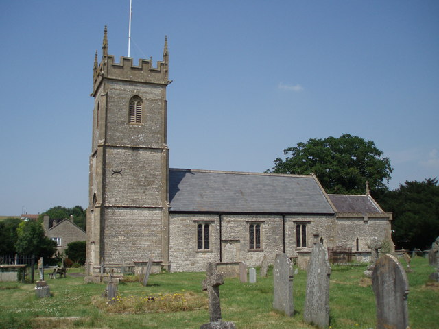


Why visit Clutton
Townapedia lists 1 museum or landmark, 1 park or trail, 10 places to eat, 1 place to stay and 3 attractions in and around town.
Highlights include Folly Farm, Stanton Drew stone circles and Stephen's Vale Nature Reserve.
Weather in Clutton
Forecast from MET Norway (CC BY 4.0). Full forecast
About Clutton
Clutton is a village and civil parish on the eastern edge of the Chew Valley, close to the Cam Brook river, in the Bath and North East Somerset Council area, within the ceremonial county of Somerset, England. The village lies east of the A37 road between Bristol and Shepton Mallet, and west of the A39 between Bath and Wells. It is 9 miles (14 km) from Bristol and Bath, and 11 miles (18 km) from Wells. Close by are the villages of Temple Cloud and High Littleton.
From the Wikipedia article Clutton, Somerset (this version), under CC BY-SA 4.0.
Things to do3


Museums and landmarks1

Stanton Drew stone circles
Monument and historic site · 3.0 mi
Neolithic henge monument; stone circles
Parks, trails and playgrounds1

Stephen's Vale Nature Reserve
Park · 1.2 mi
Nature reserve in Somerset, England
Restaurants and cafes10
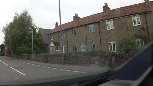
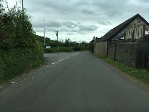
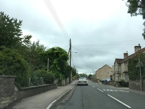
The Haynes
Fast food · Fish And Chips · 1.4 mi
New Road, Bristol
Tu-Th 11:30-14:00,18:00-22:00; Fr 11:30-14:00,17:00-22:00; Sa...



History
Highbury Hill is the site of the earthwork remains of an Iron Age univallate hillfort. It occupies an area of woodland at the end of a narrow ridge. It is a Scheduled Ancient Monument. The 3 hectares (7.4 acres) site lies in an area of woodland at the south eastern end of a narrow ridge with steep slopes around it. There is a 0.5 metres (1.6 ft) outer bank which is 8 metres (26 ft) long with a shallow 8 metres (26 ft) wide ditch. Some Roman silver coins were found at the site in the late 18th century.
Clutton was called Clutone in the 1086 Domesday Book meaning 'A rocky hill enclosure' from the Old English cludig and tun, but there also is an obscure Celtic word cluttya meaning a 'hen's roost'.
There is a long history of coal mining in the village and the surrounding Somerset coalfield, but the mines are no longer working. The workings were described in a report of 1610, located near Widow Blacker's house. In the 19th century, the mines around Clutton were owned by the Earl of Warwick, who also owned sawmills, quarries, brickworks and agricultural interests. The Earl and his wife, Daisy Greville took a keen interest in the welfare of their miners and built Maynard Terrace a unique row of terrace houses at the edge of the village. The village formerly had a station on the Bristol and North Somerset Railway.
From the History section of Clutton, Somerset on Wikipedia, under CC BY-SA 4.0.
Where to stay1
Churches and places of worship17
Church of St Nicholas and the Blessed Virgin Mary, Stowey
Church · 1.5 mi
Shopping2
Gas and EV charging1
Schools, colleges and libraries3
Map of Clutton
39 places. The map loads OpenStreetMap tiles when you open it.
Getting there and nearby towns
Bristol Airport (BRS) is the nearest airport with scheduled flights listed in OpenStreetMap, 9 miles away.
- Cameley 1 mi southwest, about 2 min by car
- Bishop Sutton 2 mi west, about 4 min by car
- Timsbury 3 mi east, about 4 min by car
- Midsomer Norton 4 mi southeast, about 6 min by car
- Chew Magna 4 mi northwest, about 6 min by car
- Chilcompton 5 mi south, about 8 min by car
- Keynsham 6 mi north, about 10 min by car
- Winford 6 mi northwest, about 10 min by car
- Bath 8 mi east, about 14 min by car
- Bristol 9 mi north, about 14 min by car
Drive times are estimates from straight-line distance, not routes.
Towns near Clutton


Keep exploring
Local news
Headlines from INDB.
Reviews, tips and questions
Loading what members have shared...
Sources and licences
- GeoNames (CC BY 4.0): population, coordinates, regions and time zone
- Mapillary (see each image): photos
- OpenStreetMap contributors (ODbL 1.0): places, airports, map data
- Wikidata (CC0 1.0): elevation, founding date, time zone, website, landmarks and historic places
- Wikimedia Commons (see each image): photos
- Wikipedia (CC BY-SA 4.0): overview and history text
Photo credits
- Clutton church, Rodw at English Wikipedia, CC BY-SA 3.0
- Stanton Drew stone circle, Somerset, Stevekeiretsu, CC BY-SA 4.0
- Farmborougchurch, Sharon Loxton, CC BY-SA 2.0
- All Saints Church, Publow. - panoramio, Robert Powell, CC BY-SA 3.0
- Temple cloud cameley eglise, Velvet, CC BY-SA 3.0
- Chelwood church, Sharon Loxton, CC BY-SA 2.0
- St. Mary the Virgin's church, Stanton Drew, Jonathan Billinger, CC BY-SA 2.0
- Litton church, Rodw at English Wikipedia, Public domain
- Church of St Nicholas and St Mary, Stowey from south, Rodw, CC BY-SA 3.0
- Follyfarmbuilding2, Rodw, Public domain
- Church of St Mary The Virgin, Timsbury 2, Rodw, CC BY-SA 3.0
- Street-level photo, southglos, CC BY-SA 4.0
- Street-level photo, southglos, CC BY-SA 4.0
- Street-level photo, southglos, CC BY-SA 4.0
- Street-level photo, southglos, CC BY-SA 4.0
- Street-level photo, southglos, CC BY-SA 4.0
- Street-level photo, southglos, CC BY-SA 4.0
- Street-level photo, southglos, CC BY-SA 4.0
- Street-level photo, southglos, CC BY-SA 4.0
- Street-level photo, southglos, CC BY-SA 4.0
- Street-level photo, southglos, CC BY-SA 4.0


Page built November 10, 2026. Spotted a mistake? Tell us or suggest a place.