


Chilcompton, United Kingdom
Chilcompton is a town of 2,062 people in England, United Kingdom.
Why visit Chilcompton
Townapedia lists 2 museums and landmarks, 1 park or trail, 10 places to eat, 2 places to stay and 1 attraction in and around town.
Highlights include Radstock Museum and Chilcompton War Memorial.
Weather in Chilcompton
Forecast from MET Norway (CC BY 4.0). Full forecast
About Chilcompton
Chilcompton is a village and civil parish in Somerset, England, in the Mendip Hills two miles south of Midsomer Norton and 3.0 miles south-west of Westfield. It is on the B3139 road between Radstock and Wells, close to the A37 (between Shepton Mallet and Bristol).
From the Wikipedia article Chilcompton (this version), under CC BY-SA 4.0.
Things to do1

Museums and landmarks2

Radstock Museum
Museum · 3.2 mi
Museum in Radstock, Somerset, United Kingdom

Parks, trails and playgrounds1

Restaurants and cafes10


History
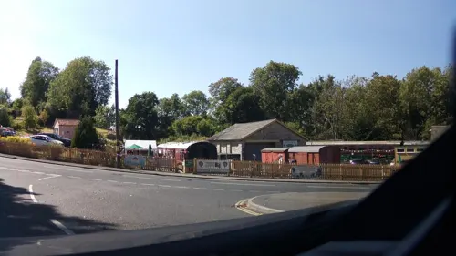
The village's history is mainly that of farming and mining. There is a coal waste mound in the north-east end of the village. The village used to have Chilcompton railway station on the Somerset and Dorset Joint Railway, which closed in 1966.
From the History section of Chilcompton on Wikipedia, under CC BY-SA 4.0.
More about Chilcompton
Geography
Chilcompton has a population of 1,918. The village is situated one mile west of the Fosse Way Roman road, Downside Abbey, and Downside School, and one mile north-east of Blacker's Hill fort.
The only bus service that serves Chilcompton is the 173 Bath to Wells Mendip Xplorer service operated by First West of England. There are also several bus routes running between neighbouring villages and the town of Midsomer Norton.
The village has a well called Fry's Well which lends its name to a road.
Economy
Chilcompton is the headquarters of the fashion company Mulberry Group plc.
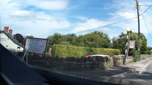
There is a local store which belongs to the co-operative society, as a branch of the Radstock district co-operative society. There are also two hairdressers in the village, along with a small industrial estate in the north-east of the village. This estate has a few units of small businesses such as Nova fitness equipment and a small fruit machine distributor. There were four pubs in the village some time ago; currently there are two left: The Somerset Wagon (previously The Railway) and The Redan Inn. The Britannia and Naishes Crossing had been the other two, The Britannia being the later of the two to close in the 1980s.
Arts and culture
There is a skateboarding park in the north end of the village on the recreational ground, which also has a football pitch, a sports clubhouse and a tennis/basketball court. There are two more parks in the village, one of which is in the south end with a 5-a-side football pitch and a small playpark. There is another in a small cul-de-sac in the east side of the village. The primary school also hosts a multi-sports facility.
Education
Chilcompton has a primary school called St. Vigor and St. John. The village also has four nearby state secondary schools, The Blue School in Wells, Norton Hill School and Somervale School in Midsomer Norton and Writhlington School in Radstock. There are two private schools nearby, Wells Cathedral School and Downside School. The nearest universities are in Bath and Bristol.
From the Wikipedia article Chilcompton, under CC BY-SA 4.0.
Where to stay2
Churches and places of worship19
Downside Abbey of St Gregory the Great
Church · Roman Catholic · 0.7 mi
Abbey Road
Shopping1
Gas and EV charging1
Schools, colleges and libraries6
Map of Chilcompton
44 places. The map loads OpenStreetMap tiles when you open it.
Getting there and nearby towns
Bristol Airport (BRS) is the nearest airport with scheduled flights listed in OpenStreetMap, 12 miles away.
- Midsomer Norton map
- Midsomer Norton 2 mi northeast, about 3 min by car
- Cameley 4 mi northwest, about 7 min by car
- Shepton Mallet 5 mi south, about 9 min by car
- Bishop Sutton 6 mi northwest, about 10 min by car
- Wells 7 mi southwest, about 12 min by car
- Frome 8 mi east, about 13 min by car
- Evercreech 8 mi south, about 13 min by car
- Chew Magna 8 mi northwest, about 14 min by car
- Bath 10 mi northeast, about 16 min by car
- Keynsham 10 mi north, about 17 min by car
Drive times are estimates from straight-line distance, not routes.
Towns near Chilcompton


Keep exploring
Local news
Headlines from INDB.
Reviews, tips and questions
Loading what members have shared...
Sources and licences
- GeoNames (CC BY 4.0): population, coordinates, regions and time zone
- Mapillary (see each image): photos
- OpenStreetMap contributors (ODbL 1.0): places, airports, map data
- Wikidata (CC0 1.0): elevation, founding date, time zone, website, landmarks and historic places
- Wikimedia Commons (see each image): photos
- Wikipedia (CC BY-SA 4.0): overview and history text
Photo credits
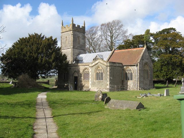
- Ashwickchurch, Lyn Yates, CC BY-SA 2.0
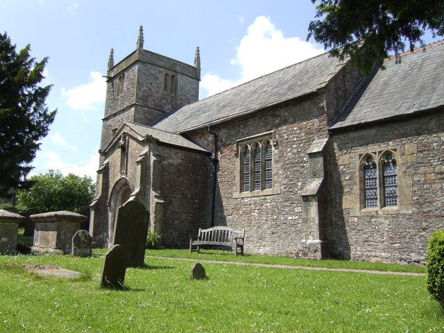
- Midsomer Norton Church (St. John the Baptist) (49634564833), Hugh Llewelyn from Keynsham, UK, CC BY-SA 2.0
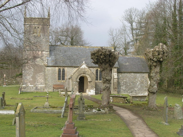
- Ston Easton church, Dr Duncan Pepper, CC BY-SA 2.0
- St Vigors church, Stratton-on-the-Fosse, Jonathan Billinger, CC BY-SA 2.0
- Holcombe Old St Andrews church, ChurchCrawler, CC BY-SA 2.0
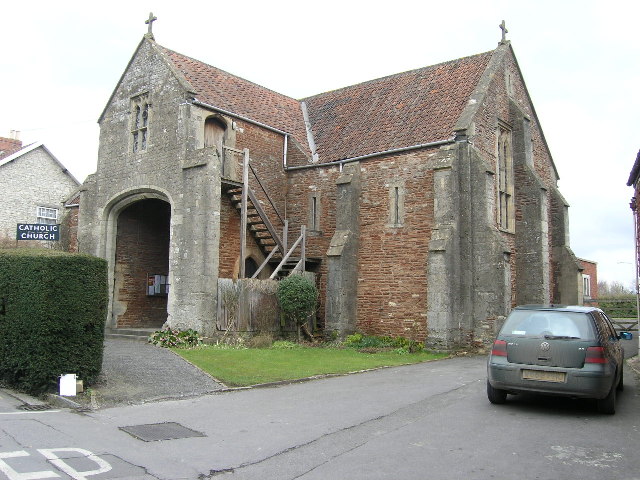
- Church of the Holy Ghost, Midsomer Norton, ChurchCrawler, CC BY-SA 2.0
- Downside abbey2-2, Downside_abbey2.jpg : D.O.G.A. derivative work: Rabanus Flavus, CC BY-SA 3.0
- Norton Hill School, Rodw, CC0
- Somervale School, Rodw, CC0
- Street-level photo, southglos, CC BY-SA 4.0
- Street-level photo, southglos2, CC BY-SA 4.0
- Street-level photo, southglos, CC BY-SA 4.0
- Street-level photo, southglos, CC BY-SA 4.0
- Street-level photo, southglos, CC BY-SA 4.0
- Street-level photo, southglos, CC BY-SA 4.0
- Street-level photo, southglos, CC BY-SA 4.0
- Street-level photo, southglos, CC BY-SA 4.0
- Street-level photo, southglos2, CC BY-SA 4.0
- Street-level photo, southglos, CC BY-SA 4.0
- Street-level photo, southglos, CC BY-SA 4.0
- Street-level photo, southglos, CC BY-SA 4.0
- Street-level photo, southglos, CC BY-SA 4.0
- Street-level photo, southglos, CC BY-SA 4.0
- Street-level photo, southglos, CC BY-SA 4.0


Page built November 10, 2026. Spotted a mistake? Tell us or suggest a place.