


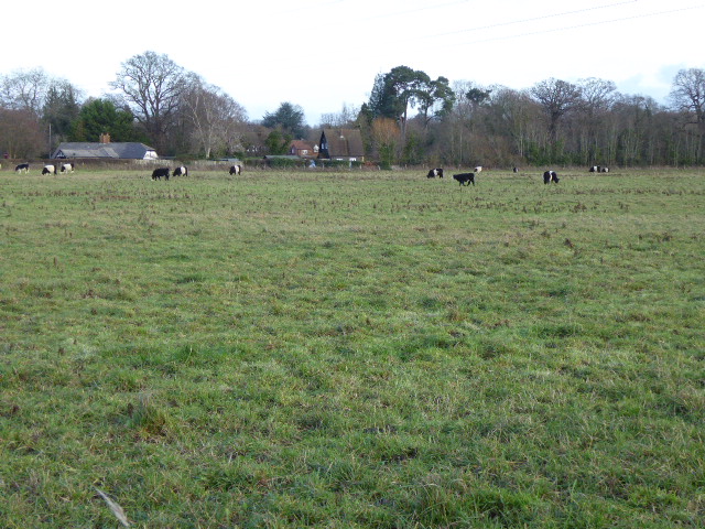


Why visit Cobham
Townapedia lists 25 museums and landmarks, 15 parks and trails, 40 places to eat, 6 places to stay and 5 attractions in and around town.
Highlights include Esher Theatre, Cobham Mill, Brooklands Museum and Painshill.
Weather in Cobham
Forecast from MET Norway (CC BY 4.0). Full forecast
About Cobham
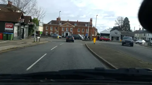
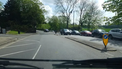
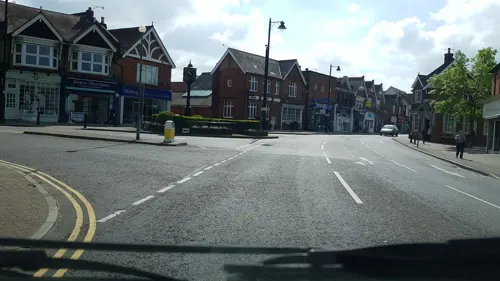
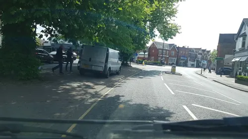
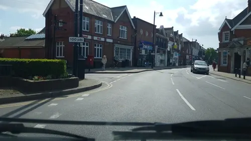
Cobham () is a large village in the Borough of Elmbridge in Surrey, England, centred 17 miles (27 km) south-west of London and 10 miles (16 km) northeast of Guildford on the River Mole. It has a commercial/services High Street, a significant number of primary and private schools and Painshill Park, an 18th century landscape garden.
From the Wikipedia article Cobham, Surrey (this version), under CC BY-SA 4.0.
Travel tips from other travellers: Cobham on Wikivoyage (CC BY-SA 4.0).
Things to do5

Esher Theatre
Cinema and theater · 3.5 mi
Theatre in Esher, Elmbridge, Surrey, England


Museums and landmarks25


Brooklands Museum
Museum · 2.8 mi
Sports museum in Weybridge, Surrey, England, United Kingdom


London Bus Museum
Museum · 2.8 mi
Transport museum located at Brooklands, Weybridge, England, United Kingdom

The Homewood
Museum · 1.7 mi
UK modernist house in Esher, Surrey, England designed by Patrick Gwynne

York Column
Monument and historic site · 3.6 mi
Building in Elmbridge, Surrey, England, UK

Crystal Grotto
Monument and historic site · 0.8 mi
Thousands of crystals, including originals recovered from the archaeologial work, have been used to restore the Crystal Grotto. Please...
Tu-Su 10:00-17:00


13 more on the map.
Parks, trails and playgrounds15



Burhill Golf Club
Golf course · 1.6 mi
18 hole par 70 Old Course, and 18 hole par 72 New Course
Burwood Road, Walton-on-Thames

3 more on the map.
Restaurants and cafes40
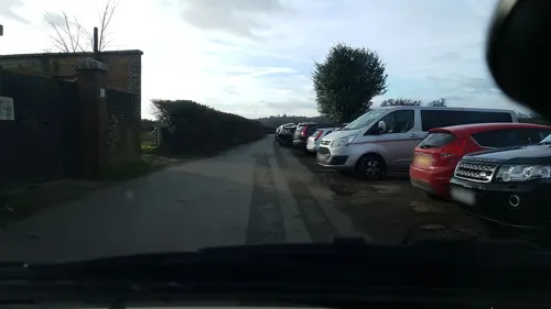
The Plough Inn
Bar and pub · 0.6 mi
Plough Lane, Cobham
Mo closed; Tu-Fr 11:00-23:00; Sa 11:00-00:00; Su 11:00-22:00
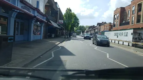
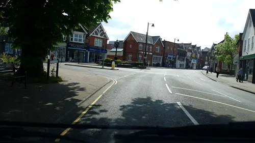
Ristorante Del Posto
Restaurant · Italian
23 Oakdene Parade, Cobham
Mo-Th 12:00-22:00; Fr-Sa 12:00-22:30; Su 12:00-20:00
The Ivy
Restaurant · British
48 High Street, Cobham
Mo-Th 08:30-00:00; Fr 08:30-00:30; Sa 09:00-00:30; Su,PH 09:00-00:00
The Juice Smith
Cafe · Juice
15 Oakdene Parade, Cobham
Mo-Fr 07:30-18:00; Sa 07:30-18:00; Su 09:00-17:00
Caffè Capital
Cafe · Coffee Shop
28 Hollyhedge Road, Cobham
Mo-Fr 08:00-17:00; Sa 08:00-17:00; Su 10:00-16:00

A Casa
Restaurant · Italian · 0.6 mi
221-223 Portsmouth Road, Cobham
Mo-Fr 10:00-15:00,17:00-23:00; Sa 12:00-23:00; Su 12:00-22:00

The Fairmile
Bar and pub · Steak House, Fish And Chips, Bistro, British, Chicken, Burger, Sandwich, Ice Cream, Breakfast · 0.9 mi
Portsmouth Road, Cobham
Mo-Fr 07:00-23:00; Sa 08:00-23:00; Su 08:00-22:30
28 more on the map.
History
Cobham is an ancient settlement whose origins can be traced back on the ground through Roman times to the Iron Age. It lay within the Elmbridge hundred.
Cobham appears in Domesday Book as Covenham and was held by Chertsey Abbey. Its Domesday assets were: 12½ hides; 3 mills worth 13s 4d, 10 ploughs, 1 alike unit of meadow, woodland worth 40 hogs. It rendered altogether £14 per year to its feudal system overlords.
Historically, Cobham other than outlying farms comprised two developed areas, Street Cobham and Church Cobham. The former lay on the Portsmouth-London Road, and the building now known as the Cobham Exchange was once a coaching inn. The latter grew up around St Andrew's Church, which dates from the 12th century. Although much altered and extended in the 19th century, the church preserves a Norman tower and is a Grade I listed building (the highest architectural category).
In 1649, the Diggers established a new community at Little Heath following their expulsion from nearby St George's Hill, Weybridge. The community met some success, with 11 acres (4.5 ha) cultivated, six houses built, winter crops harvested, and several pamphlets published. The local lord, of the manor, Parson John Platt, despite initial sympathy, rallied gangs to attack the community and prevent locals in assisting them. Platt and local landowners drove the community out in April 1650.
Read more of the history
The village's population was reported as 1617 inhabitants in 1848. The arrival of the railway in the 1880s led to the expansion of the original village, the eastern fields and southern areas towards the railway station becoming suburbanised during the 20th century. A 1960s improvements scheme widened the entrance to the High Street from River Hill to the south which was very narrow, removing a few historic and picturesque buildings, replacing some with less ornate brickwork glass-fronted buildings suitable as shops. Subsequently, the High Street has developed into a local shopping centre.
In 1951 the civil parish had a population of 7885. On 1 April 1974 the parish was abolished.
Cobham is 2.5 miles (4.0 km) from Brooklands and played host to associated and its own aviation and motoring activity in the 20th century. Leading motor engineer and car designers Reid Railton and Noel Macklin set up a manufacturing facility, building Railton road cars at the Fairmile Works from 1933 to 1940. An example is displayed at Brooklands Museum in the same borough.
In World War II, after a major aircraft factory, Vickers-Armstrongs, at Brooklands was bombed by the Luftwaffe on 4 September 1940, with heavy loss of life and many more injured, the Vickers Experimental Department was quickly dispersed to secret premises on the Silvermere and Foxwarren Park estates along Redhill Road. Engineer and inventor Barnes Wallis also carried out important trials catapulting models of his 'Upkeep' bouncing bomb across Silvermere Lake around 1942 and conducted spinning trials with larger prototypes at 'Depot W46' (the largest of the three dispersed sites). Vickers had numerous other wartime dispersed depots locally and those within the boundaries or whose nearest village was Cobham included Corbie Wood and Riseholme (on Seven Hills Road), Conway Cottage and Norwood Farm.
Despite its proximity to Brooklands and Wisley airfields (both active until the early 1970s), Cobham saw relatively few aircraft crashes. Most notable was a Lockheed P-38 Lightning fighter which flew low over Brooklands apparently in trouble and crashed at Cobham on 16 March 1944; the pilot survived and little else was published of this incident.
During World War II aircraft company Airspeed Ltd set up a design office at Fairmile Manor which designed the civil aircraft the Airspeed Ambassador before moving back to Portsmouth in the late 1940s.
After the war, Vickers' Experimental Department continued to use two of the Redhill Road sites (now known as 'Foxwarren') and built aircraft prototypes there such as the Viscount airliner and Valiant V-bomber, until it moved back to the main factory at Brooklands in the late 1950s.
In the 1970s residents Mike Chambers ran a business building Huron Formula Fords and a Formula Atlantic car at the Silvermere works and Geoff Uren prepared the BMW team saloon cars and Graham Hill's Jägermeister-sponsored Formula 2 car.
From 1972 to 2011 Cobham Bus Museum occupied an ex-aircraft hangar (used mainly by Vickers-Armstrongs as a machine shop) next to Silvermere golf course in Redhill Road. The bus museum reopened as the London bus museum at Brooklands Museum on 1 August 2011. The former premises have been replaced by a care home.
From the History section of Cobham, Surrey on Wikipedia, under CC BY-SA 4.0.
More about Cobham
Geography
Cobham fits into a triangle between the River Mole to the south, the A3 to the north and a borderline for the most part on the nearside of the (New) London to Guildford railway line to the southeast – directly west of Oxshott. On the southern border is the historic village, Stoke D'Abernon, part of the small post town, which gives its name to the railway station between the two areas on the line mentioned: Cobham & Stoke D'Abernon.
The village neighbourhoods of Downside (south) and Fairmile (east). The longstanding built-up areas resemble the adjacent fertile east banks of the Mole such as at landscape garden Painshill Park on free-draining gravel topped with layers of alluvium. This contrasts with the steep west bank, acidic sandy heath, which underlies the highest land on all the outskirts, residual outcrops of the Bagshot Sands (Formation). These isolate Cobham village historically, Esher Commons, Oxshott Heath and Woods and the Redhill Common part of Ockham and Wisley Commons.
Watershed points, or in international terms drainage divides, are at the summits of the sides of the lower Mole Valley, attaining 60 metres (200 ft) and 65 metres (213 ft) towards the east close to Oxshott and Stoke D'Abernon respectively.
Education
St Andrew's Primary School is located in the village as is Cobham Free School which is an all-through school. A local prep school is Feltonfleet School. There are three independent schools: Notre Dame; ACS (The American Community Schools) Cobham International and Reed's School.
From the Wikipedia article Cobham, Surrey, under CC BY-SA 4.0.
Notable people from Cobham
 Florence CookEnglish spiritual mediumPhoto: Unknown author, Public domain
 Malcolm ArbuthnotEnglish artist (1877-1967)Photo: Malcolm Arbuthnot, Public domain
- Kenneth McAlpineracecar driver (1920 – 2023)
- Charles BuxtonEnglish brewer, philanthropist, writer and politician
- Harold B. HudsonCanadian flying ace (1898–1982)
- Patrick Guy BrookingBritish Army general
- Jilly CurryBritish freestyle skier
- Lord Henry PercyBritish military officer (1817–1877); recipient of the Victoria Cross
- Esmé Chinnerycricketer (1886-1915)
- Charles Meller(c 1836-1869) Surgeon and Naturalist
- Kit HainBritish singer and guitarist
- Arthur Rookdermatologist and author (1918-1991)
Born in Cobham, according to Wikidata (CC0). Each name links to its Wikipedia article.
Where to stay6
Churches and places of worship11
Shopping13
Gas and EV charging4
Schools, colleges and libraries9
St Matthew's CofE Aided Infant School, Cobham
School · Anglican · 1.3 mi
Downside Common Road, Cobham
Healthcare6
Cobham Community Hospital and Health Centre
Hospital · 0.4 mi
168 Portsmouth Road, Cobham
Map of Cobham
134 places. The map loads OpenStreetMap tiles when you open it.
Getting there and nearby towns
Heathrow Airport (LHR) is the nearest airport with scheduled flights listed in OpenStreetMap, 10 miles away.
- Weybridge 4 mi northwest, about 6 min by car
- Walton-on-Thames 4 mi north, about 6 min by car
- Great Bookham 4 mi southeast, about 6 min by car
- Shepperton 5 mi north, about 8 min by car
- Sunbury-on-Thames 5 mi north, about 8 min by car
- Hook 5 mi northeast, about 8 min by car
- Woking 6 mi west, about 10 min by car
- Epsom 6 mi east, about 10 min by car
- Hampton 6 mi north, about 10 min by car
- Hanworth 7 mi north, about 12 min by car
Drive times are estimates from straight-line distance, not routes.
Towns near Cobham


Keep exploring
Local news
Headlines from INDB.
Reviews, tips and questions
Loading what members have shared...
Sources and licences
- GeoNames (CC BY 4.0): population, coordinates, regions and time zone
- Mapillary (see each image): photos
- OpenStreetMap contributors (ODbL 1.0): places, airports, map data
- Wikidata (CC0 1.0): elevation, founding date, time zone, website, landmarks and historic places
- Wikimedia Commons (see each image): photos
- Wikipedia (CC BY-SA 4.0): overview and history text
Photo credits
- The Homewood and garden, Tjandspallan at English Wikipedia, Public domain
- York Column, Weybridge - cropped, Mertbiol, CC0
- Manor Farm, Surrey (8), Dudley Miles, CC BY-SA 4.0
- Esher02, Motmit at en.wikipedia, CC BY-SA 3.0
- Weybridge United Reformed Church, Queens Road, Weybridge (NHLE Code 1377472) (June 2015) (3), Hassocks5489, CC0
- Chatley Heath Semaphore Tower, AndyScott, CC BY-SA 4.0
- St Michael's Chapel, Downside Common Road, Downside (June 2015) (16), Hassocks5489, CC0
- Cobham Mill, Mill Road, Cobham, Surrey - June 2025, Mertbiol, CC0
- Brooklands Museum, 22 July 2012, Colin Smith, CC BY-SA 2.0
- Byfleet Manor House, Colin Smith, CC BY-SA 2.0
- London Bus Museum Transportfest 2013 140 (10382998473), MANHATTAN RESEARCH INC (MANHATTAN RESEARCH INC) from S E A T T L E , S E A T T L E, CC BY 2.0
- Crystal studded ceiling of Crystal Grotto, Painshill, MumphingSquirrel, CC BY-SA 4.0
- At Painshill 2025 189, Photograph by Mike Peel ( www.mikepeel.net )., CC BY-SA 4.0
- Street-level photo, richardc, CC BY-SA 4.0
- Street-level photo, richardc, CC BY-SA 4.0
- Street-level photo, richardc, CC BY-SA 4.0
- Street-level photo, richardc, CC BY-SA 4.0
- Street-level photo, richardc, CC BY-SA 4.0
- Street-level photo, richardc, CC BY-SA 4.0
- Street-level photo, richardc, CC BY-SA 4.0
- Street-level photo, richardc, CC BY-SA 4.0
- Street-level photo, richardc, CC BY-SA 4.0
- Street-level photo, richardc, CC BY-SA 4.0
- Street-level photo, richardc, CC BY-SA 4.0
- Street-level photo, richardc, CC BY-SA 4.0
- Street-level photo, richardc, CC BY-SA 4.0
- Street-level photo, richardc, CC BY-SA 4.0
- Street-level photo, richardc, CC BY-SA 4.0
- Street-level photo, richardc, CC BY-SA 4.0
- Street-level photo, richardc, CC BY-SA 4.0
- Street-level photo, richardc, CC BY-SA 4.0
- Street-level photo, richardc, CC BY-SA 4.0
- Street-level photo, alexanderar, CC BY-SA 4.0

Page built November 10, 2026. Spotted a mistake? Tell us or suggest a place.