


Why visit Hook
Townapedia lists 10 museums and landmarks, 44 parks and trails, 64 places to eat, 6 places to stay and 12 attractions in and around town.
Highlights include Clattern Bridge, Hampton Court Bridge, Hampton Wick War Memorial and Kingston Museum.
Weather in Hook
Forecast from MET Norway (CC BY 4.0). Full forecast
About Hook
Hook is a suburban area in south west London, England. It forms part of the Royal Borough of Kingston upon Thames and is located 12 miles (19.3 km) south west of Charing Cross. Neighbouring settlements include Hinchley Wood, Long Ditton, Surbiton, Tolworth and Chessington.
From the Wikipedia article Hook, London (this version), under CC BY-SA 4.0.
Things to do12

Clattern Bridge
Bridge · 2.8 mi
Grade I listed bridge in Kingston upon Thames, London, England

Hampton Court Bridge
Bridge · 2.9 mi
Bridge in London and Surrey, England

Hampton Court Palace
Cinema and theater · 2.8 mi
Historic royal palace in Richmond, Greater London

Kingston Bridge
Bridge · 3.0 mi
Road bridge at Kingston upon Thames in south west London, England, UK

Kingston Railway Bridge
Bridge · 3.1 mi
Arch bridge in Kingston upon Thames, London

Rose Theatre, Kingston
Cinema and theater · 2.8 mi
Theatre in Kingston-upon-Thames, London, England

The Karsino
Cinema and theater · 3.4 mi
Hotel and entertainment centre on Tagg's Island, Richmond, London

Esher Theatre
Cinema and theater · 2.4 mi
Theatre in Esher, Elmbridge, Surrey, England


Museums and landmarks10
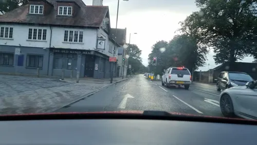
Hampton Wick War Memorial
Monument and historic site · 3.0 mi
War memorial in London

Kingston Museum
Museum · 2.9 mi
History museum in Wheatfield Way, Kingston upon Thames, United Kingdom

Kingston upon Thames War Memorial
Monument and historic site · 2.9 mi
War memorial in London

New Malden War Memorial
Monument and historic site · 3.2 mi
War memorial in New Malden, Royal Borough of Kingston upon Thames, London, England, UK



Parks, trails and playgrounds44

Chessington World of Adventures
Sports field and stadium · 1.4 mi
Amusement park
Leatherhead Road, Chessington
Mo-Su 10:00-17:00


Castle Hill, Chessington
Park · 1.0 mi
Local Nature Reserve in London



Horton Country Park
Park · 1.2 mi
Nature reserve in Epsom and Ewell, Surrey, England
Cigarette Island Park
Park · 2.8 mi
Park in Surrey opposite Hampton Court
32 more on the map.
Restaurants and cafes64
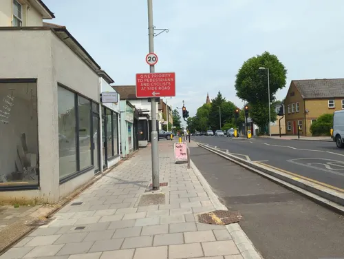
Icon Community Coffee House
Cafe · Coffee Shop · 1.5 mi
120 Ewell Road, Surbiton
Mo-Fr 07:00-17:00; Sa 07:30-16:30; Su 08:00-16:00
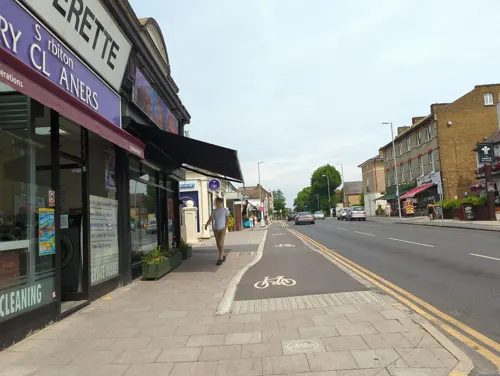
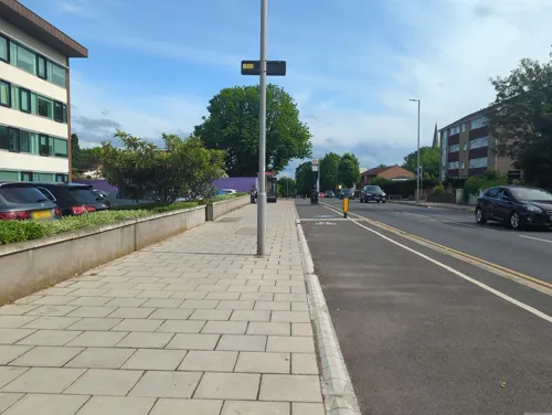
Sushi Hero
Restaurant · Japanese, Noodles, Sushi · 1.3 mi
253 Ewell Road, Surbiton
Tu-Sa 12:00-15:00, 17:00-22:00; Su-Mo off
The Agra Tandoori
Restaurant · Indian · 1.5 mi
142 Ewell Road, Surbiton
Mo-Th, Su 12:00-14:00, 18:00-23:00; Fr 18:00-23:30; Sa...

Munchies Cafe
Cafe · Coffee Shop · 1.5 mi
156 Ewell Road, Surbiton
Mo-Sa 06:30-16:00; Su 07:30-16:00
52 more on the map.
Where to stay6
Churches and places of worship28
Shopping13
Gas and EV charging4
Schools, colleges and libraries23
Our Lady Immaculate Catholic Primary School
School · Roman Catholic · 1.4 mi
399 Ewell Road, Surbiton
Healthcare8
Map of Hook
212 places. The map loads OpenStreetMap tiles when you open it.
Getting there and nearby towns
Heathrow Airport (LHR) is the nearest airport with scheduled flights listed in OpenStreetMap, 9 miles away.
- Worcester Park 3 mi east, about 5 min by car
- Sutton 5 mi east, about 8 min by car
- Walton-on-Thames 5 mi west, about 8 min by car
- Sunbury-on-Thames 5 mi northwest, about 9 min by car
- Richmond 6 mi north, about 10 min by car
- Shepperton 6 mi west, about 10 min by car
- Wallington 7 mi east, about 11 min by car
- Weybridge 7 mi west, about 11 min by car
- Isleworth 8 mi north, about 12 min by car
- Croydon 9 mi east, about 14 min by car
Drive times are estimates from straight-line distance, not routes.
Towns near Hook


Keep exploring
Local news
Headlines from INDB.
Reviews, tips and questions
Loading what members have shared...
Sources and licences
- GeoNames (CC BY 4.0): population, coordinates, regions and time zone
- Mapillary (see each image): photos
- OpenStreetMap contributors (ODbL 1.0): places, airports, map data
- Wikidata (CC0 1.0): elevation, founding date, time zone, website, landmarks and historic places
- Wikimedia Commons (see each image): photos
- Wikipedia (CC BY-SA 4.0): overview and history text
Photo credits
- Hampton Court Bridge 1, Unknown author, CC BY-SA 2.5
- Hampton Court Palace (3), Ricardalovesmonuments, CC BY-SA 4.0
- Kingston Bridge2, Unknown author, Public domain
- Kingston Railway Bridge, Motmit at English Wikipedia ( Original text: Motmit ( talk ) ), CC BY-SA 3.0
- The Rose Theatre, Kingston, London, Jim Linwood from London, CC BY 2.0
- The Karsino, Adam37, CC BY-SA 4.0
- Exterior of Kingston Museum, Zoopraxiscope, CC BY-SA 4.0
- New Malden War Memorial, outside the old Town Hall, AndyScott, CC BY-SA 4.0
- Chessington World of Adventures Hocus Pocus Hall, Jeremy Thompson, CC BY 2.0
- BushyParkAutumn, Ojw at English Wikipedia, CC BY-SA 3.0
- Elmbridge Meadows, Kingston, Dudley Miles, CC BY-SA 3.0
- HamptonCourtParkTrees, Ojw, CC BY-SA 3.0
- Kingston, All Saints church, from the churchyard, AndyScott, CC BY-SA 4.0
- Former Bugby Chapel, Prospect Place, Epsom (NHLE Code 1232197) (from SW), The Voice of Hassocks, CC0
- St Luke's church, Kingston, Stevekeiretsu, CC BY-SA 4.0
- St Mary The Virgin Chessington, steve bannister, CC BY-SA 2.0
- St Nicholas' Church, Church Walk, Thames Ditton (NHLE Code 1188441) (June 2015) (6), Hassocks5489, CC0
- St Martin's Church, Church Street, Epsom (NHLE Code 1028592) (August 2013) (3), I, the copyright holder of this work, hereby publish it under the following license:, CC0
- St Andrew's church, Surbiton, Stevekeiretsu, CC BY-SA 4.0
- Esher02, Motmit at en.wikipedia, CC BY-SA 3.0
- St Christopher's Church, Claygate Lane, Hinchley Wood (June 2015) (3), Hassocks5489, CC0
- Entrance to Edith Gardens Local Nature Reserve, Dudley Miles, CC BY-SA 3.0
- Bonesgate Open Space 6, Dudley Miles, CC BY-SA 3.0
- Bonesgate Stream in Castle Hill, Chessington, Dudley Miles, CC BY-SA 3.0
- Clattern Bridge Kingston. (39599957415), Loco Steve from Bromley , UK, CC BY-SA 2.0
- Kingston upon Thames War Memorial 02, Jonathan Cardy, CC BY-SA 4.0
- Former Cooper Car Company works - Ivey House Hollyfield Road Surbiton - plaque unveiling, Spudgun67, CC BY-SA 4.0
- Enid Blyton 1897-1968 children's writer lived here 1920-1924, Spudgun67, CC BY-SA 4.0
- Street-level photo, RyanBush, CC BY-SA 4.0
- Street-level photo, alexanderar, CC BY-SA 4.0
- Street-level photo, inanov, CC BY-SA 4.0
- Street-level photo, inanov, CC BY-SA 4.0
- Street-level photo, inanov, CC BY-SA 4.0
- Street-level photo, inanov, CC BY-SA 4.0
- Street-level photo, RyanBush, CC BY-SA 4.0
- Street-level photo, julianlb, CC BY-SA 4.0
- Street-level photo, alexanderar, CC BY-SA 4.0
- Street-level photo, RyanBush, CC BY-SA 4.0
- Street-level photo, inanov, CC BY-SA 4.0
- Street-level photo, RyanBush, CC BY-SA 4.0
- Street-level photo, alexanderar, CC BY-SA 4.0
- Street-level photo, alexanderar, CC BY-SA 4.0
- Street-level photo, alexanderar, CC BY-SA 4.0
- Street-level photo, alexanderar, CC BY-SA 4.0
- Street-level photo, inanov, CC BY-SA 4.0
- Street-level photo, alexanderar, CC BY-SA 4.0


Page built November 10, 2026. Spotted a mistake? Tell us or suggest a place.