


Comberton, United Kingdom
Comberton is a town of 2,346 people in England, United Kingdom.
Why visit Comberton
Townapedia lists 2 museums and landmarks, 8 parks and trails, 4 places to eat and 1 place to stay in and around town.
Highlights include Hardwick Wood and Kingston and Bourn Old Railway.
Weather in Comberton
Forecast from MET Norway (CC BY 4.0). Full forecast
About Comberton
Comberton is a village and civil parish in South Cambridgeshire, England, a few miles south-west of Cambridge.
From the Wikipedia article Comberton (this version), under CC BY-SA 4.0.
Museums and landmarks2

Parks, trails and playgrounds8

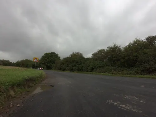
Kingston and Bourn Old Railway
Park · 2.6 mi
Local Nature Reserve in Cambridgeshire, England


Restaurants and cafes4
Where to stay1

History
Archaeological finds, including a Neolithic polished stone axe (found to the south of the current village) and a Bronze Age barrow (to the north), suggest there has been a settlement here for thousands of years. A Roman villa was discovered in 1842. In a hypothesis, the Roman villa has been associated with the tenth-century Battle of Brunanburh.The village was mentioned in Domesday Book of 1086 as Cumbertone, and therefore dates to at least the 11th century. Some of the present houses in the village date from the 14th century.
From the History section of Comberton on Wikipedia, under CC BY-SA 4.0.
More about Comberton
Geography
Comberton is about 5 miles (8.0 km) south-west of the city of Cambridge, and just 1⁄2-mile (0.80 km) east of the Greenwich Prime Meridian, lying at a height above mean sea level of around 25 feet (7.6 m). The civil parish covers 1,954 acres (790.8 ha), and is part of the local government district of South Cambridgeshire. Nearby villages include Barton to the east and Toft to the west. Comberton is twinned with Le Vaudreuil, a village near Rouen, France. The Prime Meridian is marked by a stone plaque on the north side of the main road (B1046) between Comberton and the neighbouring village of Toft.
From the Wikipedia article Comberton, under CC BY-SA 4.0.
Notable people from Comberton
- William Newmancomputer scientist
Born in Comberton, according to Wikidata (CC0). Each name links to its Wikipedia article.
Churches and places of worship5
Schools, colleges and libraries4
Map of Comberton
24 places. The map loads OpenStreetMap tiles when you open it.
Getting there and nearby towns
Cambridge City Airport (CBG) is the nearest airport with scheduled flights listed in OpenStreetMap, 7 miles away.
- Haslingfield 3 mi southeast, about 5 min by car
- Cambridge 4 mi east, about 7 min by car
- Orwell 4 mi south, about 6 min by car
- Harston 4 mi southeast, about 7 min by car
- Oakington 5 mi north, about 9 min by car
- Meldreth 6 mi south, about 10 min by car
- Longstanton 7 mi north, about 11 min by car
- Fowlmere 7 mi south, about 11 min by car
- Great Gransden 7 mi west, about 11 min by car
- Whittlesford 8 mi southeast, about 12 min by car
Drive times are estimates from straight-line distance, not routes.
Towns near Comberton


Keep exploring
Local news
Headlines from INDB.
Reviews, tips and questions
Loading what members have shared...
Sources and licences
- GeoNames (CC BY 4.0): population, coordinates, regions and time zone
- Mapillary (see each image): photos
- OpenStreetMap contributors (ODbL 1.0): places, airports, map data
- Wikidata (CC0 1.0): elevation, founding date, time zone, website, landmarks and historic places
- Wikimedia Commons (see each image): photos
- Wikipedia (CC BY-SA 4.0): overview and history text
Photo credits
- Comberton village green, Unknown author, CC BY-SA 2.0
- Hardwick Wood 1, Dudley Miles, CC BY-SA 4.0
- One-Mile Telescope, Rror, CC BY-SA 3.0
- CombertonVC Front View 2019, CharlieAP2004, CC BY-SA 4.0
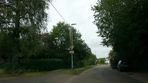
- Street-level photo, adam2, CC BY-SA 4.0
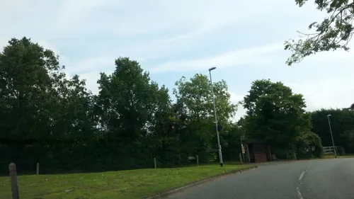
- Street-level photo, adam2, CC BY-SA 4.0
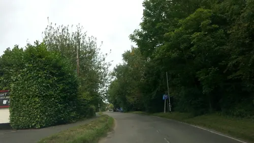
- Street-level photo, adam2, CC BY-SA 4.0
- Street-level photo, tallguy, CC BY-SA 4.0
- Street-level photo, smsm1, CC BY-SA 4.0
- Street-level photo, adam2, CC BY-SA 4.0
- Street-level photo, adam2, CC BY-SA 4.0
- Street-level photo, adam2, CC BY-SA 4.0
- Street-level photo, adam2, CC BY-SA 4.0
- Street-level photo, adam2, CC BY-SA 4.0
Page built November 10, 2026. Spotted a mistake? Tell us or suggest a place.