


Why visit Criccieth
Townapedia lists 7 museums and landmarks, 2 parks and trails, 22 places to eat, 19 places to stay and 9 attractions in and around town.
Highlights include Criccieth Castle, David Lloyd George's Grave and Criccieth Golf Club.
Weather in Criccieth
Forecast from MET Norway (CC BY 4.0). Full forecast
About Criccieth
Criccieth, also spelled Cricieth ([ˈkrɪkjɛθ] ), is a town and community in Gwynedd, Wales, on the boundary between the Llŷn Peninsula and Eifionydd. The town is 5 miles (8 km) west of Porthmadog, 9 miles (14 km) east of Pwllheli and 17 miles (27 km) south of Caernarfon. It had a population of 1,826 in 2001, reducing to 1,753 at the 2011 census.
From the Wikipedia article Criccieth (this version), under CC BY-SA 4.0.
Travel tips from other travellers: Criccieth on Wikivoyage (CC BY-SA 4.0).
Things to do9

Museums and landmarks7



Lloyd George Museum
Museum · 1.5 mi
Biographical museum in Gwynedd, Wales, United Kingdom
Apr-May Mo-Fr 10:30-17:00; Jun Mo-Sa 10:30-17:00; Jul-Aug Mo-Su...

Parks, trails and playgrounds2

Restaurants and cafes22
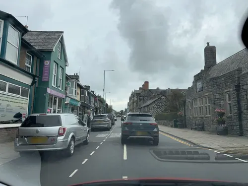
Spice Bank
Restaurant · Indian
39 Stryd Fawr, Criccieth
Mo-Sa 12:00-14:00,17:00-23:00; Su 12:00-23:00
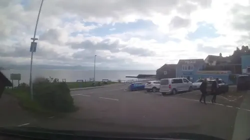
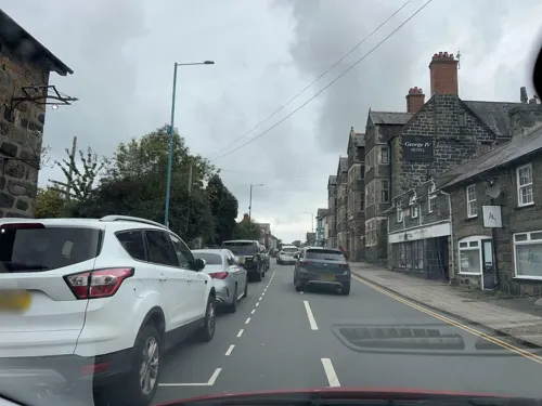
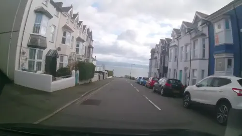

Dylan's Restaurant
Restaurant · Burger, Cake, Coffee Shop, Fish, Italian, Italian Pizza, Pasta, Pizza, Seafood · 0.5 mi
Y Prom, Criccieth

Feathers Inn
Bar and pub · 1.4 mi
We,Th 15:00-22:00; Fr 15:00-18:00+; Sa 12:00-18:00+; Su 13:00-21:00

10 more on the map.
History
The area around Criccieth was settled during the Bronze Age, and a chambered tomb, Cae Dyni, survives on the coast to the east of the town; it consists of seven upright stones, and there are 13 cup marks, arranged in several groups. Evidence from other sites on the Llŷn Peninsula suggests that the area was colonised by a wave of Celtic settlers, who explored the Irish Sea, probably around the 4th century BC. Ptolemy calls the peninsula Ganganorum Promontorium (English: Peninsula of the Gangani); the Gangani were a tribe of Irish Celts, and it is thought there may have been strong and friendly links with Leinster.
Although it is thought that Criccieth Castle was built around 1230 by Llywelyn ab Iorwerth, who had controlled the area since 1202, the first record of the building was in 1239, when the administrative centre of Eifionydd was moved from Dolbenmaen.
Read more of the history
In the later years of his life, Llywelyn turned his attention to his successor. Welsh law stipulated that illegitimate sons had equal rights with legitimate sons; Llywelyn sought to ensure that Dafydd ap Llywelyn, his legitimate offspring, would inherit Gwynedd in place of his eldest, but illegitimate, son Gruffydd. On Llywelyn's death in 1240, Dafydd sought to secure his position. Dafydd was half English and feared that his pure Welsh half-brother would be able to gather support to overthrow him. Gruffydd was held prisoner in Criccieth Castle, until he was handed over to Henry III of England in 1241, and moved to the Tower of London.
Dafydd ap Llywelyn died in 1246, without leaving an heir, and was succeeded by Llywelyn ap Gruffudd, his nephew. Edward I had inherited the English throne in 1272, and in 1276 declared Llywelyn a rebel. By 1277, Edward's armies had captured the Isle of Anglesey, and were encamped at Deganwy; the settlement, the Treaty of Aberconwy, forced Llywelyn to acknowledge Edward as his sovereign, and stripped him of much of his territory. Dafydd ap Gruffydd, Llywelyn's younger brother, attacked the English forces at Hawarden in 1282, setting off a widespread rebellion throughout Wales; Edward responded with a further invasion of Gwynedd, during which Llywelyn was killed on the battlefield at Cilmeri.
With the final defeat of Gwynedd, Edward set about consolidating his rule in Wales. Criccieth Castle was extended and reshaped, becoming one of a ring of castles surrounding Edward's newly conquered territories. A township developed to support the garrison and a charter was granted in 1284; the charter was intended to create a plantation of English burgesses who would provide food for the soldiers from the arable land behind the Dinas and the grazings on the slopes beyond. Weekly markets were held on Thursdays and there were annual fairs on 25 April and 18 October, the evangelical feasts of Saint Mark and Saint Luke.
The new administration soon proved unpopular among the native Welsh, and in 1294, Madog ap Llywelyn led a national revolt against English rule. Criccieth was besieged for several months over the winter; 41 residents sought refuge within its walls, joining the garrison of 29 men under William de Leybourne, until supplies were brought in from Ireland the following April. The following year, the castle was again used as a prison, housing captives taken in Edward's wars against Scotland.
Three Welshmen who had settled in the borough, which was supposedly reserved for the English, were evicted in 1337, but times were about to change. Hywel ap Gruffydd was appointed constable of the castle in 1359, the first Welshman to hold the post. The following year came mayor of the town, holding the office for 20 years; in a poem of praise, Iolo Goch described him as "a puissant knight, head of a garrison guarding the land". By 1374 eight jurymen from the borough had Welsh names.
Richard II was deposed and imprisoned in 1399, and died in mysterious circumstances the following year. Opposition to the new king, Henry IV, was particularly strong in Wales and Cheshire, and in 1400 serious civil unrest broke out in Chester. Henry had already declared Owain Glyndŵr, a descendant of the Princes of Powys, a traitor, and on 16 September 1400 Owain launched a revolt. He was proclaimed Prince of Wales, and within days a number of towns in the north east of Wales had been attacked. By 1401 the whole of northern and central Wales had rallied to Owain's cause, and by 1403 villages throughout the country were rising in support. English castles and manor houses fell and were occupied by Owain's supporters. Although the garrison at Criccieth Castle had been reinforced, a French fleet in the Irish Sea stopped supplies getting through, and the castle fell in the spring of 1404. The castle was sacked; its walls were torn down; and both the castle and borough were burned. The castle was never to be reoccupied, while the town was to become a small Welsh backwater, no longer involved in affairs of state. The town was described in 1847 as follows,
It is a poor straggling place, with houses built without any regard to order, and having nothing worthy of notice save the ruins of the ancient castle, which stand on an eminence jutting into the sea. The population of Criccieth in 1841 was 811.
The town expanded in the 19th century with the coming of new transportation links. In 1807 a turnpike road was built from Tremadog to Porthdinllaen, which was intended to be the main port for traffic to Ireland; and with the construction of the Aberystwith and Welsh Coast Railway in 1868, the town began to develop as a Victorian seaside resort.
From the History section of Criccieth on Wikipedia, under CC BY-SA 4.0.
More about Criccieth
Geography
Criccieth is located in Eifionydd on the Cardigan Bay shore of the Llŷn Peninsula. The town is south facing and built around the rocky outcrop containing Criccieth Castle, which effectively divides the shoreline in two at this point. The East Shore has a sandy beach with a shallow area for bathing, whilst the Marine Beach, to the west, is quieter and has a number of hotels and guest houses.
The rhyolitic headland on which the castle is built is strong and not easily eroded. The cliffs to each side, however, are less resistant, being made up of glacial drift, layers of boulders, stones, clay and silt which were laid down during the last ice age. Sea walls were already in existence at the time of the first Ordnance Survey map in 1891, and the west shore sea wall had been extended and groynes built by 1913. Extensive remedial work was completed in 1965, and the defences were again strengthened in 1974 and 1985. In 1995 work was started on improving the defences along The Esplanade, followed in 1997 by further work to replace the crumbling gabions below Lôn Felin. Submerged forests occur in a number of places off the Cardigan Bay coastline, including Criccieth; these are deposits of peat, soil and tree remains and appear to be post-glacial coastal lagoons and estuaries, which have been flooded by rising sea levels.
Economy
In the 16th century, at the bottom of Lôn Felin stood the town's mill, powered by water from a millpond near to the present level crossing and fed from the Afon Cwrt.
The herring industry was important by the 19th century, with horsedrawn carts converging on Abermarchnad to transport the catch to neighbouring villages. There was also a coal yard and other storehouses by the quay, where the Afon Cwrt enters the sea. Opposite stood a lime kiln, with lime produced both for local use and export, limestone for the kiln being unloaded from ships on the quay.
At the 2001 Census 54.18% of the population were in employment, whilst the unemployment rate stood at 3.81%. The proportion retired accounted for 22.99% of the inhabitants. Of those employed, 23.04% worked in the wholesale and retail trades and 19.86% in hotels and restaurants.
Cadwalader's Ice Cream Parlour on Castle Street was opened in 1927,
Arts and culture
Criccieth is a predominantly Welsh speaking community, with 64.2% of residents aged three and over being able to speak the language according to the 2011 Census.
The Memorial Hall, fronting Y Maes, is a venue for concerts, dramas and other community events and the main venue during the annual Criccieth Festival. It was designed by Morris Roberts of Porthmadog in a fusion of the art deco and arts and crafts architectural styles and completed in 1925, the foundation stone having been laid in 1922 by David Lloyd George.
The construction of Criccieth Library on the High Street was financed by Andrew Carnegie. A plaque inside the doorway commemorates local historian Colin Gresham. Among the services provided is free broadband access.
The National Eisteddfod was held in Criccieth in 1975, and a new housing estate, Gorseddfa marks the place where the Gorsedd stones then stood.
The Brynhir Arms on the High Street dates from 1631. Originally a single storey farm building, it was extended in 1840 to serve the new turnpike road.
The Lion Hotel, an old coaching inn, was built on Y Maes in 1731. It was here that the town's councillors would retire after their meetings in Cwrt.
Education
Primary education is provided by Ysgol Treferthyr on Lôn Bach, which has 131 pupils. At the last school inspection by Estyn, in 2010, 7% of pupils were entitled to free school meals and over half came from homes where Welsh was the main spoken language. Welsh is the main medium of teaching, and 94% of the pupils can speak Welsh. Secondary school pupils mainly attend Ysgol Eifionydd in Porthmadog.
From the Wikipedia article Criccieth, under CC BY-SA 4.0.
Notable people from Criccieth
 Margaret Lloyd GeorgeBritish humanitarian (1864-1941)Photo: Bassano Ltd, Public domain
 William R. P. GeorgeBritish lawyer and poet (1912-2006)Photo: Geoff Charles, CC BY-SA 4.0
- Gwilym Lloyd George, 1st Viscount TenbyBritish politician (1894-1967)
- Megan Lloyd GeorgeBritish politician (1902-1966)
- R. Tudur JonesWelsh nationalist and theologian (1921–1998)
- Olwen Elizabeth Lloyd George(1892-1990)
- Edward David HughesWelsh organic chemist
- Dyfan DwyforWelsh actor
- Nesdi JonesWelsh singer-songwriter
- Elinor EvansWelsh painter
- Ruth Martin-JonesBritish long jumper, pentathlete and sprinter
- Paul RobertsWelsh footballer
Born in Criccieth, according to Wikidata (CC0). Each name links to its Wikipedia article.
Where to stay19
Churches and places of worship10
Shopping6
Gas and EV charging1
Schools, colleges and libraries3
Healthcare1
Map of Criccieth
80 places. The map loads OpenStreetMap tiles when you open it.
Getting there and nearby towns
RAF Valley - Anglesey Airport (VLY) is the nearest airport with scheduled flights listed in OpenStreetMap, 26 miles away.
- Porthmadog 4 mi east, about 7 min by car
- Harlech 7 mi southeast, about 11 min by car
- Penrhyndeudraeth 7 mi east, about 11 min by car
- Pwllheli 8 mi west, about 13 min by car
- Penygroes 10 mi north, about 15 min by car
- Nefyn 12 mi west, about 19 min by car
- Llanberis 14 mi north, about 23 min by car
- Dolgellau 19 mi southeast, about 31 min by car
- Tregarth 20 mi north, about 32 min by car
- Bangor 22 mi north, about 35 min by car
Drive times are estimates from straight-line distance, not routes.
Towns near Criccieth


Keep exploring
Local news
Headlines from INDB.
Reviews, tips and questions
Loading what members have shared...
Sources and licences
- GeoNames (CC BY 4.0): population, coordinates, regions and time zone
- Mapillary (see each image): photos
- OpenStreetMap contributors (ODbL 1.0): places, airports, map data
- Wikidata (CC0 1.0): elevation, founding date, time zone, website, landmarks and historic places
- Wikimedia Commons (see each image): photos
- Wikipedia (CC BY-SA 4.0): overview and history text
Photo credits
- Criccieth beach, James@hopgrove at English Wikipedia, Public domain
- Criccieth Castle from Caernarfon Road - panoramio, deepeye, CC BY-SA 3.0
- St Beuno's Church, Penmorfa, David Medcalf, CC BY-SA 2.0
- Criccieth Castle (14393993760), Barry Skeates from newbury, UK, CC BY 2.0
- Tŷ Newydd, Jim Killock, CC BY-SA 2.0
- Bedd David Lloyd George yn Llanystumdwy - Grave of David Lloyd George, Llanystumdwy, Gwynedd, Wales 21, Llywelyn2000, CC BY-SA 4.0
- Street-level photo, rac_uk2, CC BY-SA 4.0
- Street-level photo, trigpoint, CC BY-SA 4.0
- Street-level photo, rac_uk2, CC BY-SA 4.0
- Street-level photo, rac_uk2, CC BY-SA 4.0
- Street-level photo, trigpoint, CC BY-SA 4.0
- Street-level photo, rac_uk2, CC BY-SA 4.0
- Street-level photo, rac_uk2, CC BY-SA 4.0
- Street-level photo, rac_uk2, CC BY-SA 4.0
- Street-level photo, trigpoint, CC BY-SA 4.0
- Street-level photo, rac_uk2, CC BY-SA 4.0
- Street-level photo, rac_uk2, CC BY-SA 4.0
- Street-level photo, rac_uk2, CC BY-SA 4.0
- Street-level photo, trigpoint, CC BY-SA 4.0
- Street-level photo, rac_uk2, CC BY-SA 4.0
- Street-level photo, rac_uk2, CC BY-SA 4.0
- Street-level photo, rac_uk2, CC BY-SA 4.0
- Street-level photo, rac_uk2, CC BY-SA 4.0
- Street-level photo, rac_uk2, CC BY-SA 4.0
- Street-level photo, rac_uk2, CC BY-SA 4.0
- Street-level photo, rac_uk2, CC BY-SA 4.0
- Street-level photo, rac_uk2, CC BY-SA 4.0
- Street-level photo, rac_uk2, CC BY-SA 4.0
Page built November 10, 2026. Spotted a mistake? Tell us or suggest a place.