


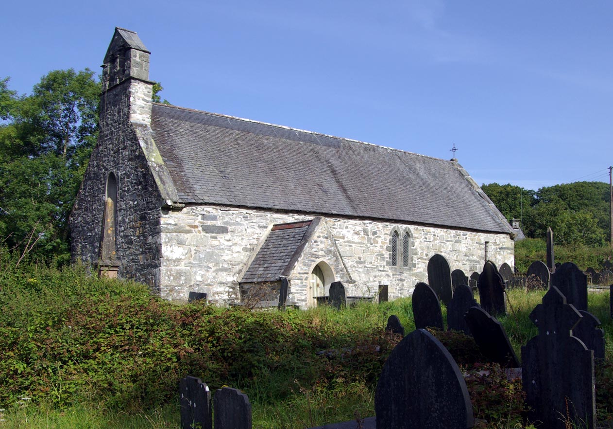


Penrhyndeudraeth, United Kingdom
Penrhyndeudraeth is a town of 1,546 people in Wales, United Kingdom.
Why visit Penrhyndeudraeth
Townapedia lists 1 museum or landmark, 1 park or trail, 9 places to eat, 5 places to stay and 7 attractions in and around town.
Highlights include Pont Briwet, Hir Ynys, Bryn Cader Faner and Gwaith Powdwr.
Weather in Penrhyndeudraeth
Forecast from MET Norway (CC BY 4.0). Full forecast
About Penrhyndeudraeth
Penrhyndeudraeth (Welsh pronunciation: [pɛnr̥ɨnˈdeɨ̯draːɨ̯θ] ; lit. 'peninsula with two beaches'; or simply Penrhyn) is a small town and community in the Welsh county of Gwynedd. The town is close to the mouth of the River Dwyryd on the A487 nearly 3 miles (4.8 km) east of Porthmadog, and had a population of 2,150 at the 2011 census, increased from 2,031 in 2001. The community includes the villages of Minffordd and Portmeirion.
From the Wikipedia article Penrhyndeudraeth (this version), under CC BY-SA 4.0.
Photos of Penrhyndeudraeth

Things to do7

Pont Briwet
Bridge · 0.8 mi
Grade II listed building in Gwynedd. Carrying the railway and the A 4085 over the estuary of Tremadog Bay at the SE boundary of the...

Museums and landmarks1

Bryn Cader Faner
Monument and historic site · 3.3 mi
Archaeological site in Gwynedd, Wales, UK
Parks, trails and playgrounds1

Restaurants and cafes9
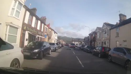
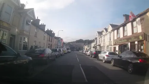
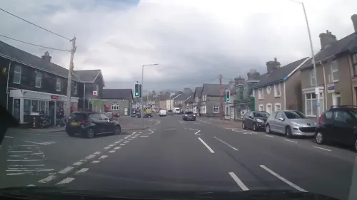
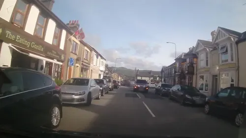
The Eating Gorilla Coffee House
Cafe
20 Stryd Fawr, Penrhyndeudraeth
Mo-Fr 08:30-16:30
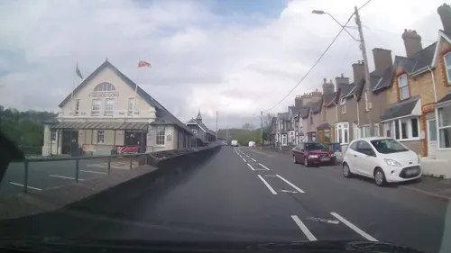
Silver Lake
Fast food · Chinese
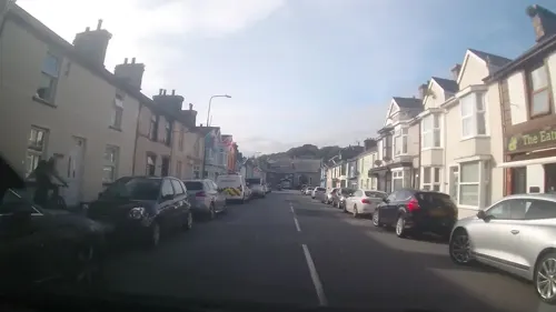
8 Stryd Fawr, Penrhyndeudraeth
Mo-Su,PH 12:00-14:00,17:00-23:30
Penrhyn Pizza And Kebab House
Fast food
Cromwell House Stryd Fawr, Penrhyndeudraeth


History
An older settlement of a few cottages at Upper Penrhyn was originally called Cefn Coch ('Red Ridge') and that name is perpetuated by the Penrhyndeudraeth primary school, which is known as Ysgol Cefn Coch; but the town proper is comparatively modern. The ground on which it stands was a malarial swamp encircling a huge stagnant pool.
The present town owes its existence as a commercial centre to a local landowner, David Williams of Castell Deudraeth near Minffordd, who in the mid-19th century drained the swamp and dried the pool and constructed many streets. Adopting a scheme of town planning evolved by the builder of Tremadog and his Italian craftsmen, Williams gave Penrhyndeudraeth broad streets and wide open spaces. The main square is a road junction with choice of four roads - one leading to the station, one to Porthmadog, one to Maentwrog and the other to Llanfrothen and the Pass of Aberglaslyn. Williams' daughter, Alice, built the first Institute Hall for one of the first British Women's Institutes in the country in Penrhyndeudraeth.
Read more of the history
Prior to the many 19th century land reclamation projects (including The Cob at Porthmadog) and the building of the Ffestiniog Railway, both of which spurred economic growth, the few local inhabitants relied on agriculture and small-scale copper mining. Some men worked boats on the River Dwyryd, carrying slate from Maentwrog to the sea for export. Local women at that time gathered cockles in the estuary for sale in local markets. Penrhyndeudraeth is still known locally, especially by the people of Blaenau Ffestiniog and Porthmadog, as Penrhyn Cocos (or "Cockletown" in English).
Halfway between Penrhyndeudraeth and Minffordd, next to the Snowdonia National Park HQ, but standing apart, is Hendre Hall, where, in 1648, Humphrey Humphreys was born. He became Bishop of Bangor from 1689 to 1701 and then of Hereford. He died in 1712. One of the family carvings at the Holy Trinity Church Penrhyndeudraeth is of him. There is also an oak chest which Richard Humphreys gave to Llanfrothen Church while working as its warden in 1690.
The property named "Cae Ednyfed", between Penrhyndeudraeth and Minffordd, was once the property of Ednyfed Fychan, commander-in-chief to Llywelyn ap Iorwerth.
The town has not always been very religious. Early in the history of the Methodists, they established chapels, and fellowship meetings (seiadau) were established. There is a history of revivalists such as Daniel Rowland who held meetings at Tyddyn Isaf and the poet Dafydd Siôn Siâms who publicly cursed the new religion before himself being converted. He chastised the Methodists mercilessly before burning all their critical poetic works in a public bonfire in the village square. The Old Methodists' original communion chalice is to be seen in the National Library in Aberystwyth. The town was originally in two Anglican parishes, Llanfrothen and Llandecwyn. Holy Trinity church was built in 1858 and a new parish of Penrhyndeudraeth was created in 1897.
For 130 years, the explosives works were the economic backbone of the town. Historically, the population depended on employment offered by the slate industry at Blaenau Ffestiniog and the trade in raw materials through the busy harbour at Porthmadog.
From the History section of Penrhyndeudraeth on Wikipedia, under CC BY-SA 4.0.
More about Penrhyndeudraeth
Arts and culture
The area around Penrhyndeudraeth has a number of mythological or folkloric legends associated with it. In one legend, a servant called Dafydd Fawr is tasked with escorting a young maiden on an evening journey from a house in Penrhyndeudraeth (named as Tyddyn Heilyn), to her home at Penrhyn Isaf.
Walking behind his young mistress, Dafydd sees a brilliant meteor in the night sky followed by a ring or hoop of fire. Dafydd also sees a handsomely dressed lady and gentleman of small stature stood within the hoop, embracing each other with one arm and taking hold of the hoop with the other, their feet resting on the concave surface of the ring. Dafydd watches as the hoop descends to the earth and the two small beings jump out and immediately begin to make a circle on the ground. As soon as the circle is finished, a large number of men and women instantly appear and dance round and round the circle, illuminated by a strange subdued light and accompanied by the sweetest music that Dafydd had ever heard.
From the Wikipedia article Penrhyndeudraeth, under CC BY-SA 4.0.
Notable people from Penrhyndeudraeth
 Humphrey HumphreysBritish bishop (1648–1712)Photo: Unidentified painter, Public domain
- Alice Williamsvoluntary welfare worker (1863–1957), editor
- Fanny Winifred Edwardsschoolteacher, children's writer and dramatist (1876-1959)
- Pedr Ap LlwydWelsh librarian
Born in Penrhyndeudraeth, according to Wikidata (CC0). Each name links to its Wikipedia article.
Where to stay5
Churches and places of worship6
Shopping2
Gas and EV charging1
Schools, colleges and libraries4
Healthcare1
Map of Penrhyndeudraeth
37 places. The map loads OpenStreetMap tiles when you open it.
Getting there and nearby towns
RAF Valley - Anglesey Airport (VLY) is the nearest airport with scheduled flights listed in OpenStreetMap, 29 miles away.
- Porthmadog 3 mi west, about 4 min by car
- Penygroes 12 mi northwest, about 20 min by car
- Pwllheli 15 mi west, about 24 min by car
- Tregarth 18 mi north, about 29 min by car
- Bangor 20 mi north, about 33 min by car
- Rhosneigr 28 mi northwest, about 45 min by car
- Colwyn Bay 29 mi northeast, about 46 min by car
- Llandudno 29 mi north, about 46 min by car
- Abergele 31 mi northeast, about 51 min by car
- Rhyl 36 mi northeast, about 58 min by car
Drive times are estimates from straight-line distance, not routes.
Towns near Penrhyndeudraeth


Keep exploring
Local news
Headlines from INDB.
Reviews, tips and questions
Loading what members have shared...
Sources and licences
- GeoNames (CC BY 4.0): population, coordinates, regions and time zone
- Mapillary (see each image): photos
- OpenStreetMap contributors (ODbL 1.0): places, airports, map data
- Wikidata (CC0 1.0): elevation, founding date, time zone, website, landmarks and historic places
- Wikimedia Commons (see each image): photos
- Wikipedia (CC BY-SA 4.0): overview and history text
Photo credits
- Penrhyndeudraeth 2007, SilkTork, CC BY-SA 3.0
- Pont Briwet (1), Talsarnau Times, CC BY-SA 3.0
- Bryn Cader Faner 1, Erwynj, CC BY 4.0
- St Brothen 0005, Velella, CC BY-SA 3.0
- Eglwys Sant Twrog, Maentwrog St Twrog's church, Maentwrog, Gwynedd, Cymru, Wales 18, Llywelyn2000, CC BY-SA 4.0
- FR EoM Penrhyn PT, Pierre Terre, CC BY-SA 2.0
- Steam 150- '1863 and All That' (10324972333), Peter Trimming from Croydon, England, CC BY 2.0
- Street-level photo, trigpoint, CC BY-SA 4.0
- Street-level photo, trigpoint, CC BY-SA 4.0
- Street-level photo, trigpoint, CC BY-SA 4.0
- Street-level photo, trigpoint, CC BY-SA 4.0
- Street-level photo, trigpoint, CC BY-SA 4.0
- Street-level photo, trigpoint, CC BY-SA 4.0
- Street-level photo, trigpoint, CC BY-SA 4.0
- Street-level photo, trigpoint, CC BY-SA 4.0
- Street-level photo, trigpoint, CC BY-SA 4.0
Page built November 10, 2026. Spotted a mistake? Tell us or suggest a place.