


Porthmadog, United Kingdom
Porthmadog is a town of 2,981 people in Wales, United Kingdom.
Why visit Porthmadog
Townapedia lists 8 museums and landmarks, 4 parks and trails, 44 places to eat, 8 places to stay and 13 attractions in and around town.
Highlights include Pont Briwet, Moel-Y-Gest, Porthmadog Maritime Museum and Gwaith Powdwr.
Weather in Porthmadog
Forecast from MET Norway (CC BY 4.0). Full forecast
About Porthmadog
Porthmadog (Welsh: [pɔrθˈmadɔɡ] ), originally Portmadoc until 1972 and known locally as Port, is a coastal town and community in the Eifionydd area of Gwynedd, Wales. It was formerly part of the historic county of Caernarfonshire and includes nearby Borth-y-Gest, Morfa Bychan and Tremadog. It lies 5 miles (8 km) east of Criccieth, 11 miles (18 km) south-west of Blaenau Ffestiniog, 25 miles (40 km) north of Dolgellau and 20 miles (32 km) south of Caernarfon. The community population was 4,185 in the 2011 census and 4,134 in 2019.
From the Wikipedia article Porthmadog (this version), under CC BY-SA 4.0.
Travel tips from other travellers: Porthmadog on Wikivoyage (CC BY-SA 4.0).
Photos of Porthmadog


Things to do13

Pont Briwet
Bridge · 3.2 mi
Grade II listed building in Gwynedd. Carrying the railway and the A 4085 over the estuary of Tremadog Bay at the SE boundary of the...


1 more on the map.
Museums and landmarks8


Parks, trails and playgrounds4


Restaurants and cafes44
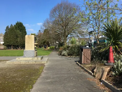
Cadwaladers
Cafe · Ice Cream, Coffee, Pizza, Sandwich, Cake, Coffee Shop, Dessert
43 Stryd Fawr, Porthmadog
Sa,Su 09:00-18:00; Mo-Fr 09:00-17:30
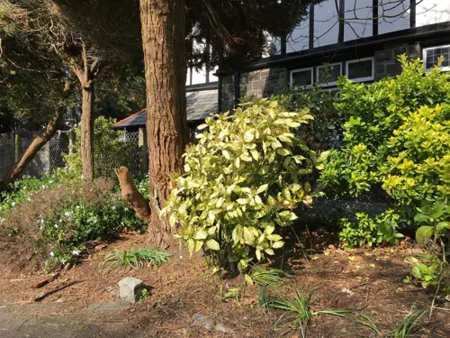
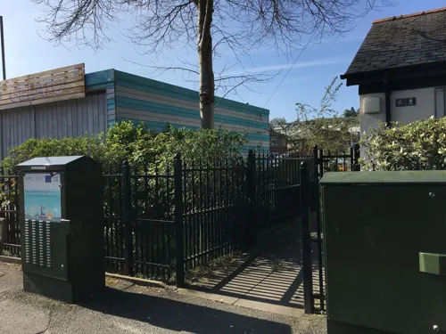
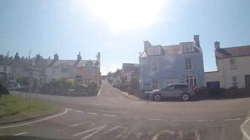
Sea View Tea Rooms
Cafe · 0.9 mi
Mo,Tu 10:00-17:00; We,Th 10:00-19:30; Fr,Sa 09:00-19:30; Su 09:00-17:30
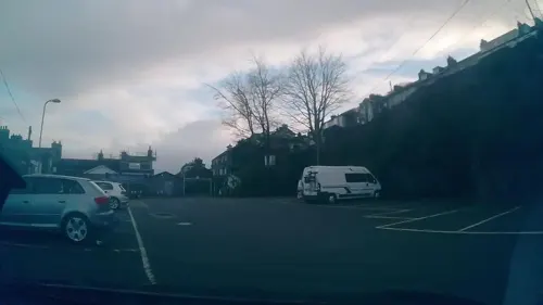
Plas 152 Coffee Room
Cafe · Coffee Shop
152 Stryd Fawr, Porthmadog
Mo-Sa 10:30-16:30; Su Off
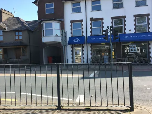
Portmeirion Cafe
Cafe · Coffee Shop, Cake, Fish, Fish And Chips, Dessert
137 Stryd Fawr, Porthmadog
Mo-Sa 09:00-17:30; Su 10:00-16:00
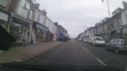
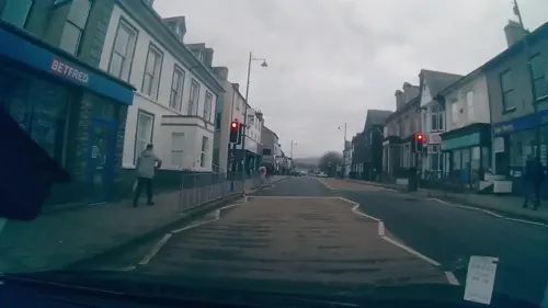

Gelert's Bar
Bar and pub · Sandwich, British, Pizza
131 Stryd Fawr, Porthmadog
Mo-Su 07:00-21:00

32 more on the map.
History
Porthmadog came about after William Madocks built a sea wall, the Cob, in 1808–11 to reclaim much of Traeth Mawr from the sea for farming use. Diversion of the Afon Glaslyn caused it to scour out a new natural harbour deep enough for small ocean-going sailing ships, and the first public wharves appeared in 1825. Quarry companies followed, with wharves along the shore almost to Borth-y-Gest, while slate was carted from Ffestiniog down to quays along the Afon Dwyryd, then boated to Porthmadog for transfer to seagoing vessels.
In the later 19th century, Porthmadog flourished as a port, its population rising from 885 in 1821 to over 3,000 by 1861. The rapidly growing cities of England needed high-quality roofing slate, which was brought to the new port by tramway from quarries in Ffestiniog and Llanfrothen. The Ffestiniog Railway opened in 1836, followed by the Gorseddau Tramway in 1856 and the Croesor Tramway in 1864. By 1873, over 116,000 tons (117,800 t) were exported through Porthmadog in over a thousand ships. Several shipbuilders were active at this time. They were known particularly for their three-masted schooners called Western Ocean Yachts, the last of which was launched in 1913.
Read more of the history
By 1841, the trackway across the reclaimed land had been straightened. It would develop into Stryd Fawr, the main commercial street of the town, with a range of shops and public houses and a post office, but the open green retained. A mineral railway to Tremadog ran along what would become Heol Madog. To the north was an industrial area of foundries, timber saw mills, slate works, a flour mill, a soda-pop plant and gasworks.
Porthmadog's role as a commercial port, already reduced by the opening of the Aberystwith and Welsh Coast Railway in 1867, was effectively ended by the First World War, when the lucrative German market for slate collapsed. The 19th-century wharves survive, but the slate warehouses have been replaced by holiday apartments and the harbour is used by leisure yachts.
From the History section of Porthmadog on Wikipedia, under CC BY-SA 4.0.
More about Porthmadog
Geography
Porthmadog lies in Eifionydd, on the estuary of the afon Glaslyn, where it runs into Tremadog Bay. The estuary, filled with sediment deposited by rivers emptying from the melting glaciers at the end of the last ice age, is a haven for migrating birds. Oystercatchers, redshanks and curlews are common, as are summer flocks of sandwich terns. To the west looms Moel y Gest, rising 863 feet (263 m) above the town as a Marilyn.
The town's temperate maritime climate is influenced by the Gulf Stream. The nearest weather station is at Cwmystradllyn. The highest temperature recorded since 1993 was 35.3 °C (95.5 °F) on 19 July 2022 and the lowest was −11.5 °C (11.3 °F) on 6 January 2009.
Borth-y-Gest, which lies 1 mile (1.6 km) south of Porthmadog, is built in a shallow bowl sweeping down to a sheltered bay, with hidden sandy coves and cliffs. Ships were built here before Porthmadog was established and houses, still known as "pilot houses", were erected at the mouth of the harbour so that pilots could watch for ships needing them. The village and its rows of Victorian houses have retained much of its atmosphere and charm. Stryd Mersey leads up from the bay, flanked by terraced cottages.
Economy
At the 2001 census, 44.3% of the working-age population were employed, 11.5% self-employed, 5.3% unemployed and 20.4% retired. Of the employed, 33.0% worked in the distribution, hotel and catering trades and 23.5% in public administration, education and health.
Porthmadog expanded rapidly as a slate-exporting port. Slate had already reached King's Lynn and the Port of Wisbech by 1830 and was shipped further inland in barges for use in late Georgian era development. Welsh slate was also in high demand as a construction material in the English industrial cities and transported to the new port by horse-drawn tramways. The Ffestiniog Railway, opened in 1836 as a gravity railway with horses hauling empty slate waggons back up to the quarries, was converted to steam operation in 1863; trains ran straight onto the wharves. By 1873, 116,000 tons (117,800 t) of slate were being shipped out of Porthmadog and other trade developed. The Carnarvonshire and Merionethshire Steamship Company formed in 1864 purchased the Rebecca to carry stores from Liverpool to supply the growing town.
Arts and culture
Porthmadog chamberlains a mainly Welsh-speaking community: 74.9% of the inhabitants speak it regularly. The highest proportion of Welsh speakers is in the 10–14 age range, at 96.3%. Almost all community activities are held in Welsh. Porthmadog hosted the National Eisteddfod in 1987.
Y Ganolfan on Stryd Fawr, built in 1975, is a venue for concerts, exhibitions and other community events. It has also hosted televised wrestling matches.
Porthmadog Maritime Museum on Oakley Wharf occupies an old slate shed. It has displays of schooners built in the town and the men who sailed them.
Education
The bilingual Ysgol Eifion Wyn in Stryd Fawr, named after a local poet, Eliseus Williams (Eifion Wyn), has 204 pupils. It moved into new premises in 2003. There are units for children with special educational needs or with language difficulties. At the last school inspection by Estyn in 2004, 9% of pupils were entitled to free school meals and 72% came from homes where Welsh was the main spoken language.
Ysgol Borth-y-Gest in Stryd Mersey, Borth-y-Gest, is the smallest of the three with 70 pupils. A 2009 report by Cyngor Gwynedd, Excellent Primary Education For Children In Gwynedd, set out the future for county primary schools. That of Ysgol Borth-y-Gest, built in 1880, had been in doubt. In 2006, at the last inspection by Estyn, 3% of pupils were entitled to free school meals and 20% came from homes where Welsh was the main spoken language.
Ysgol y Gorlan, in Tremadog, has 122 pupils. When Estyn last inspected in 2008, 10% of pupils were entitled to free school meals and some 50% came from homes where Welsh was the main spoken language.
Ysgol Eifionydd in Stryd Fawr is a bilingual comprehensive school for ages 11–16, founded in about 1900. It has 484 pupils. At the last Estyn inspection in 2006, 8% of pupils were entitled to free school meals and Welsh was the main home spoken language of about 50%; 1% had an ethnic minority background.
From the Wikipedia article Porthmadog, under CC BY-SA 4.0.
Notable people from Porthmadog
 Mary DaviesWelsh poet, called Mair Eifion (1846-1882)Photo: William Roberts (Gwilym Eryri , 1844 - 1895), Public domain
- Medi HarrisWelsh swimmer
- Eliseus WilliamsWelsh poet (1867–1926)
- Roddy HughesBritish actor (1891-1970)
- Cassia PikeWelsh association football player (born 2000)
- Charles Edward BreeseBritish politician (1867-1932)
- John RobertsWelsh Presbyterian Church of Wales minister, born 1880
- Huw WilliamsWelsh soccer coach
- Gareth F. WilliamsBritish writer
- Rob PiercyBritish artist
Born in Porthmadog, according to Wikidata (CC0). Each name links to its Wikipedia article.
Where to stay8
Churches and places of worship13
Shopping21
Gas and EV charging3
Schools, colleges and libraries6
Healthcare2
Map of Porthmadog
122 places. The map loads OpenStreetMap tiles when you open it.
Getting there and nearby towns
RAF Valley - Anglesey Airport (VLY) is the nearest airport with scheduled flights listed in OpenStreetMap, 27 miles away.
- Pwllheli 12 mi west, about 19 min by car
- Tregarth 18 mi north, about 29 min by car
- Bangor 21 mi north, about 33 min by car
- Rhosneigr 26 mi northwest, about 42 min by car
- Colwyn Bay 30 mi northeast, about 49 min by car
- Llandudno 30 mi northeast, about 48 min by car
- Valley 30 mi northwest, about 49 min by car
- Holyhead 33 mi northwest, about 54 min by car
- Abergele 33 mi northeast, about 54 min by car
- Aberystwyth 36 mi south, about 57 min by car
Drive times are estimates from straight-line distance, not routes.
Towns near Porthmadog


Keep exploring
Local news
Headlines from INDB.
Reviews, tips and questions
Loading what members have shared...
Sources and licences
- GeoNames (CC BY 4.0): population, coordinates, regions and time zone
- Mapillary (see each image): photos
- OpenStreetMap contributors (ODbL 1.0): places, airports, map data
- Wikidata (CC0 1.0): elevation, founding date, time zone, website, landmarks and historic places
- Wikimedia Commons (see each image): photos
- Wikipedia (CC BY-SA 4.0): overview and history text
Photo credits
- Y Cob, Porthmadog o'r awyr, Gwynedd, Cymru (Wales) 07, Llywelyn2000, CC BY-SA 4.0
- Pont Briwet (1), Talsarnau Times, CC BY-SA 3.0
- St Beuno's Church, Penmorfa, David Medcalf, CC BY-SA 2.0
- Moel y Gest mountain, Mattcymru2, CC BY-SA 3.0
- Ringlet Butterfly 2, Peter Broster, CC BY 3.0
- Ringlet (Aphantopus hyperantus) (8189142390), Peter Broster, CC BY 2.0
- Coliseum Theatre (6504250627), Peter Broster, CC BY 2.0
- EHA62 Guy Big J4 with Gardner engine at Portmadog Sept 1992 - Flickr - kitmasterbloke, Steve Knight from Halstead, United Kingdom, CC BY 2.0
- Coliseum Theatre (Demolished), Peter_Glyn, CC0
- Railway tracks (8010434322), James Petts from London, England, CC BY-SA 2.0
- Railway tracks (8010421719), James Petts from London, England, CC BY-SA 2.0
- Emma the diesel locomotive (14786153834), Andrew Bowden from London, United Kingdon, CC BY-SA 2.0
- Street-level photo, gness, CC BY-SA 4.0
- Street-level photo, gness, CC BY-SA 4.0
- Street-level photo, gness, CC BY-SA 4.0
- Street-level photo, trigpoint, CC BY-SA 4.0
- Street-level photo, davidsong, CC BY-SA 4.0
- Street-level photo, trigpoint, CC BY-SA 4.0
- Street-level photo, davidsong, CC BY-SA 4.0
- Street-level photo, trigpoint, CC BY-SA 4.0
- Street-level photo, trigpoint, CC BY-SA 4.0
- Street-level photo, trigpoint, CC BY-SA 4.0
- Street-level photo, trigpoint, CC BY-SA 4.0
- Street-level photo, gness, CC BY-SA 4.0
- Street-level photo, trigpoint, CC BY-SA 4.0
- Street-level photo, gness, CC BY-SA 4.0
- Street-level photo, trigpoint, CC BY-SA 4.0
- Street-level photo, gness, CC BY-SA 4.0
- Street-level photo, davidsong, CC BY-SA 4.0
- Street-level photo, trigpoint, CC BY-SA 4.0
- Street-level photo, gness, CC BY-SA 4.0
- Street-level photo, trigpoint, CC BY-SA 4.0
- Street-level photo, gness, CC BY-SA 4.0
- Street-level photo, trigpoint, CC BY-SA 4.0
- Street-level photo, davidsong, CC BY-SA 4.0
- Street-level photo, trigpoint, CC BY-SA 4.0
Page built November 10, 2026. Spotted a mistake? Tell us or suggest a place.