


Cross Hills, United Kingdom
Cross Hills is a town of 11,731 people in England, United Kingdom.
Why visit Cross Hills
Townapedia lists 13 museums and landmarks, 1 park or trail, 21 places to eat, 2 places to stay and 3 attractions in and around town.
Highlights include Kildwick Bridge, Bradley Long Cairn and Jubillee Tower.
Weather in Cross Hills
Forecast from MET Norway (CC BY 4.0). Full forecast
About Cross Hills
Cross Hills is a village in the county of North Yorkshire, England, situated halfway between Skipton and Keighley. The village is at the centre of a built-up area that includes the adjoining settlements of Glusburn, Kildwick, Eastburn and Sutton-in-Craven. Cross Hills is the newer part of the civil parish now called Glusburn and Cross Hills, historically known as Glusburn.
From the Wikipedia article Cross Hills (this version), under CC BY-SA 4.0.
Photos of Cross Hills


Things to do3

Kildwick Bridge
Bridge
Grade I listed bridge in Craven, North Yorkshire, England

Museums and landmarks13
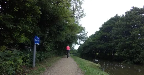
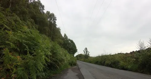

1 more on the map.
Parks, trails and playgrounds1

Restaurants and cafes21






9 more on the map.
History
The village originated as an outgrowth of the much older Glusburn (which is mentioned in the Domesday Book).
Cross Hills is overlooked by two monuments known as The Pinnacles, which take the form of small towers, standing on Earl Crag above Cowling Moor:
Wainman's Pinnacle or Sutton's Spare Pinnacle, is an obelisk built reportedly by a local man named Richard or William Wainman, some time between 1816 and 1830. There are varying accounts of the date and reasons for its construction: one anecdote claims that it was a memorial to Wainman's son, who had been killed during the Napoleonic Wars, while another account suggests that it commemorates the Allied victory at the Battle of Waterloo (1815).
Lund's Tower, or Sutton Pinnacle was built in 1896 by James Lund of Malsis Hall, to commemorate Queen Victoria's diamond jubilee; it is square with an internal staircase and topped by a crenelated parapet.
The Pinnacles are known colloquially as the "Salt Pot" and "Pepper Pot"; both stand in the parish of Sutton.
From the History section of Cross Hills on Wikipedia, under CC BY-SA 4.0.
More about Cross Hills
Geography
Cross Hills is in Airedale at a point where the River Aire bends east from its north–south course. The village lies on the south bank of the river just above the flood plain, which is wholly agricultural. As its name implies, Cross Hills is surrounded by the hills of the eastern Pennines including Steeton Moor (south-east), Cowling Moor (south-west), White Hill (north-west) and Kildwick Moor (north-east). There are views along the Aire Valley itself to the north and east. Rombalds Moor, between Silsden and Ilkley, is about six miles east of Cross Hills. Skipton is about four miles north and the hills of the Yorkshire Dales can be seen beyond it.
Immediately south-west of Cross Hills is Glusburn. Due north, on the other side of the River Aire is Kildwick. Sutton-in-Craven is less than a mile to the south-west and Eastburn less than a mile to the south-east. Cross Hills is separated from Sutton-in-Craven and Eastburn by the beck which flows into the Aire just east of Cross Hills. The beck is known by various names: Surgill Beck, Holme Beck and Eastburn Beck. It forms part of the county boundary between North and West Yorkshire as it approaches the Aire, Eastburn being in West Yorkshire.
From the Wikipedia article Cross Hills, under CC BY-SA 4.0.
Notable people from Cross Hills
- Reg GadneyEnglish painter, thriller-writer and occasional screenwriter or screenplay adaptor
- J. Arthur DixonBritish publisher
Born in Cross Hills, according to Wikidata (CC0). Each name links to its Wikipedia article.
Where to stay2
Churches and places of worship11
Shopping3
Gas and EV charging2
Schools, colleges and libraries6
Kildwick Church of England Voluntary Controlled Primary School
School · Anglican
Priest Bank Road, Keighley
Healthcare4
Map of Cross Hills
66 places. The map loads OpenStreetMap tiles when you open it.
Getting there and nearby towns
Leeds Bradford Airport (LBA) is the nearest airport with scheduled flights listed in OpenStreetMap, 14 miles away.
- Skipton 4 mi north, about 7 min by car
- Ilkley 7 mi east, about 11 min by car
- Bingley 7 mi southeast, about 12 min by car
- Colne 8 mi southwest, about 13 min by car
- Barnoldswick 8 mi west, about 13 min by car
- Baildon 9 mi southeast, about 14 min by car
- Nelson 10 mi southwest, about 16 min by car
- Shipley 10 mi southeast, about 16 min by car
- Bradford 12 mi southeast, about 20 min by car
- Burnley 12 mi southwest, about 20 min by car
Drive times are estimates from straight-line distance, not routes.
Towns near Cross Hills


Keep exploring
Local news
Headlines from INDB.
Reviews, tips and questions
Loading what members have shared...
Sources and licences
- GeoNames (CC BY 4.0): population, coordinates, regions and time zone
- Mapillary (see each image): photos
- OpenStreetMap contributors (ODbL 1.0): places, airports, map data
- Wikidata (CC0 1.0): elevation, founding date, time zone, website, landmarks and historic places
- Wikimedia Commons (see each image): photos
- Wikipedia (CC BY-SA 4.0): overview and history text
Photo credits
- Christ Church, Lothersdale (21683128230), Tim Green from Bradford, CC BY 2.0
- Holy Trinity Church, Cowling, Bill Boaden, CC BY-SA 2.0
- St Andrew's Church, Kildwick, Betty Longbottom, CC BY-SA 2.0
- St Thomas, Sutton in Craven (28525804390), Tim Green from Bradford, CC BY 2.0
- Airedale General Hospital OPD Dec 2013, IJA, CC BY-SA 3.0
- The Railway, Cononley (4445970538), Tim Green from Bradford, UK, CC BY 2.0
- Cononley Church, Tim Green, CC BY 2.0
- Glusburn Institute - panoramio - Immanuel Giel, Immanuel Giel, CC BY 3.0
- BT3656, Ray Hutchings, CC BY-SA 4.0
- White Lion (3798004367), Tim Green from Bradford, UK, CC BY 2.0
- Farm - panoramio - Immanuel Giel, Immanuel Giel, CC BY 3.0
- Street-level photo, chris_debian, CC BY-SA 4.0
- Street-level photo, tallguy, CC BY-SA 4.0
- Street-level photo, tallguy, CC BY-SA 4.0
- Street-level photo, tallguy, CC BY-SA 4.0

Page built November 10, 2026. Spotted a mistake? Tell us or suggest a place.