


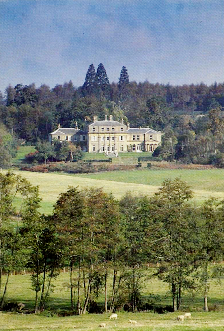


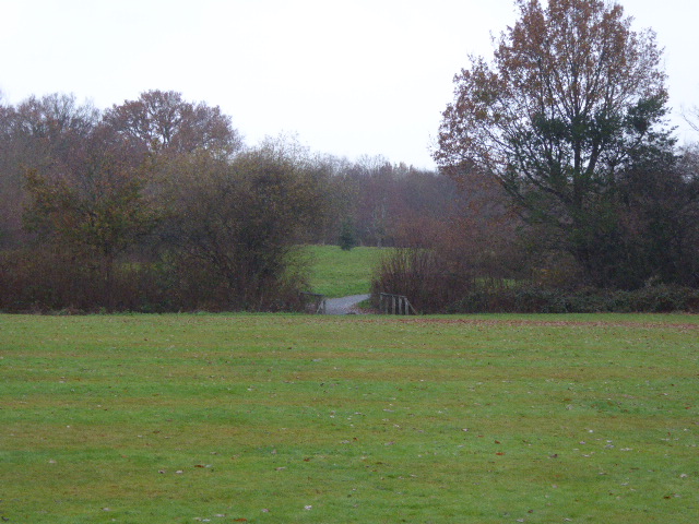
Dormansland, United Kingdom
Dormansland is a town of 2,550 people in England, United Kingdom.
Why visit Dormansland
Townapedia lists 20 museums and landmarks, 21 parks and trails, 95 places to eat, 14 places to stay and 5 attractions in and around town.
Highlights include Scott Cinema, British Wildlife Centre, Bluebell Railway and East Grinstead Museum.
Weather in Dormansland
Forecast from MET Norway (CC BY 4.0). Full forecast
About Dormansland
Dormansland is a large village and civil parish with a low population approximately one mile south of Lingfield in Surrey, England. It was founded in the 19th century and is bordered on the east by the county of Kent and on the south by West Sussex and East Sussex. The nearest town is the small town of East Grinstead, immediately across the West Sussex border. The village has an inn named "The Plough" that serves food, located in Plough Road, at the northern edge of the village.
From the Wikipedia article Dormansland, Surrey (this version), under CC BY-SA 4.0.
Photos of Dormansland

Things to do5
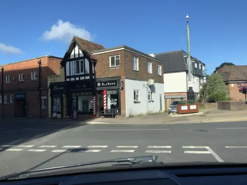
Scott Cinema
Cinema and theater · 2.4 mi
King Street, East Grinstead
"Varies depending on film showings"



Museums and landmarks20


East Grinstead Museum
Museum · 2.5 mi
Local history museum in East Grinstead, England, United Kingdom
Cantelupe Road, East Grinstead
We-Su,PH 10:00-16:00; Mo-Th off


Starborough Castle
Monument and historic site · 1.9 mi
Built on the site of the first castle.

Hammerwood Park
Museum · 3.1 mi
Country house near East Grinstead, Sussex, England, UK

Standen
Museum · 4.1 mi
Grade I listed historic house museum in Mid Sussex, England, UK


Eden Valley Museum
Museum · 3.6 mi
Museum in Kent, England, United Kingdom

8 more on the map.
Parks, trails and playgrounds21





9 more on the map.
Restaurants and cafes95
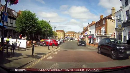
The Crown
Bar and pub · 2.6 mi
35 High Street, East Grinstead
Mo-Th 12:00-15:00, 17:00-21:00; Fr-Sa 12:00-24:00, Su 12:00-19:00

The Dorset Arms
Bar and pub · 2.6 mi
58 High Street, East Grinstead
Mo-Th 11:00-13:00; Fr 11:00-24:00; Sa-Su 10:00-24:00
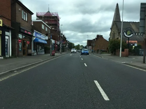
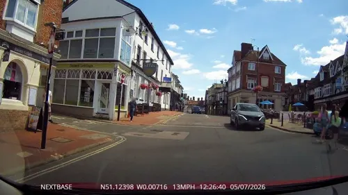
Aqua
Restaurant · Brasserie · 2.6 mi
16 High Street, East Grinstead
Mo off; Tu-Th 12:00-15:00,18:00-21:00; Fr-Sa...
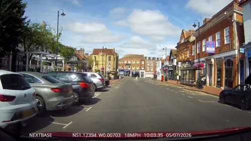
Bench RH19
Restaurant · Cafe, Alc · 2.6 mi
26 High Street, East Grinstead
Mo-Sa 09:00-23:00; Su 10:00-22:00
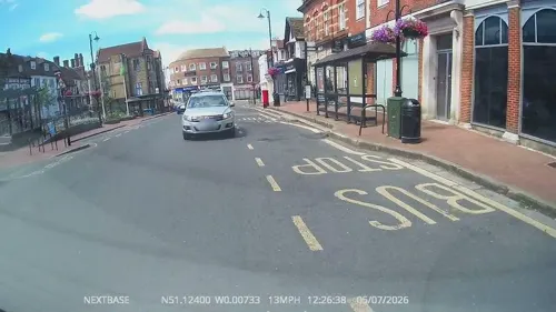
Caffè Nero
Cafe · Coffee Shop · 2.6 mi
25-27 High Street, East Grinstead
Mo-Fr 07:00-18:00; Sa 07:30-18:00; Su 08:00-17:00
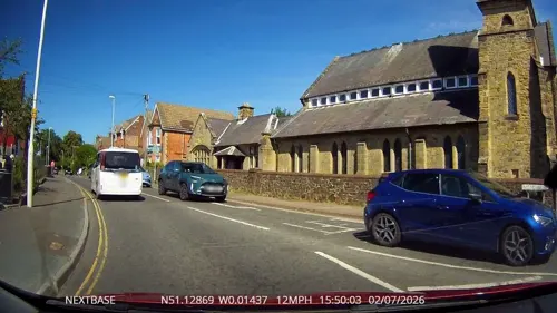
Curry Kitchen
Restaurant · Indian · 2.4 mi
194-196 London Road, East Grinstead
Mo off; Tu,Th,Su 17:00-22:00; We 17:30-20:00; Fr 16:30-22:00
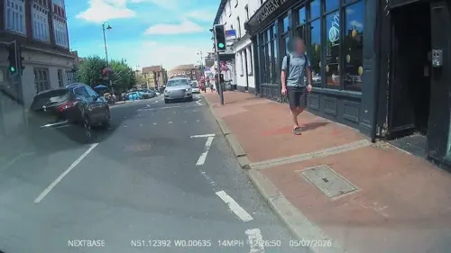
Monsoon Dining Rooms
Restaurant · Indian · 2.6 mi
51-53 High Street, East Grinstead
Mo off; Tu-Th 17:30-23:00; Fr-Sa 17:30-23:30; Su 12:00-14:30, 17:30-22:00
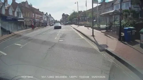
Nest
Cafe · Cafe, Coffee Shop · 2.6 mi
2 High Street, East Grinstead
Mo-Fr 08:30-16:00; Sa 09:00-16:00; Su 10:00-16:00
PizzaExpress
Restaurant · Pizza · 2.6 mi
39 High Street, East Grinstead
Mo-Sa 11:30-23:00; Su 12:00-22:30

By Renata
Restaurant · Polish · 2.5 mi
94 Railway Approach, East Grinstead
Mo-Th 08:00-18:00; Fr-Su 09:00-20:00
83 more on the map.
History
The earliest known settlement in the parish was at Dry Hill, dating from approximately 500BC. The camp lay at the junction of trackways from the north and east.
A hamlet of Lingfield derived from Richard Derman who is recorded owner of part in 1435, with 'Dermannysland' appearing in the manorial rolls in 1489. Beacon Heath in the south of the parish, on a slight knoll, is said by tradition (which the Victoria County History says is 'probably true') to have been the site of a fire beacon. The east of the parish includes a large, partly farmed 'park and garden' as it is listed by English Heritage, around a listed building (at Grade II architecturally), Greathed Manor, built as Ford House in 1862, according to its inscription for the 'Ford' family. Robert Kerr, its architect, was principally a house designer in the mid-late 19th century, a co-founder of the Architectural Association and author of The English Gentlemen's House.
Read more of the history
An interim period of many years saw the hamlet referred to as Bellagio or Bellaggio until the late 19th century. Until the enclosure (privatisation) of the Lingfield Commons in 1816, Dormansland consisted of a few farms and cottages. A Baptist Chapel was built in 1796, and a National School in 1851. By the opening of the Dormans railway station in 1884 the village had most of its modern layout, a small village quantity of 'villas and bungalows' having been constructed from 1880 until 1885.
The church of St John the Evangelist was built in 1883 to a design by Arthur Blomfield and consecrated in 1884. The ecclesiastical parish was created from part of the Lingfield parish the next year. In the following century small housing estates (principally Locks Meadow) were built on farmland in the parish, close to the existing development to create a clustered village surrounded chiefly by its own farmland.
The civil parish was created from part of Lingfield in 2000 and is on a larger basis than the ecclesiastical parish.
From the History section of Dormansland, Surrey on Wikipedia, under CC BY-SA 4.0.
More about Dormansland
Geography
Dormansland is a rural and semi-rural village of a largely cleared, flat area of the Weald save for the woodlands covering most of Greathed's private park, which is in Dormansland and scattered woodlands of Dormans Park, a housing estate toward the southern border. It is a large civil parish approximately one mile south of Lingfield. It is a recent village relative to the average age of an English village, and is bordered on the east by Kent and on the south by West Sussex and East Sussex, the only area of the county which borders East Sussex. The nearest town is the small town of East Grinstead, immediately across the West Sussex border which adjoins Dormans Park. The highest point of the south-east of Surrey is here: Dry Hill, 172 metres above sea level – an outcrop of the Low Weald, it is the 19th highest hill in Surrey.
The Prime Meridian passes through the parish, just west of its centre. London is centred 25 miles (40 km) north.
From the Wikipedia article Dormansland, Surrey, under CC BY-SA 4.0.
Notable people from Dormansland
- Gordon PotterEnglish cricketer (born 1931)
Born in Dormansland, according to Wikidata (CC0). Each name links to its Wikipedia article.
Where to stay14
Churches and places of worship21
The Church of Jesus Christ of Latter-day Saints
Church · Latter Day Saints · 2.6 mi
Ship Street, East Grinstead
Our Lady and St Peter’s Catholic Church
Church · 2.4 mi
London Road, East Grinstead
Shopping23
Gas and EV charging19
Schools, colleges and libraries17
Healthcare8
Ship Street Surgery Pharmacy
Clinic and pharmacy · 2.7 mi
Ship Street, East Grinstead
Map of Dormansland
243 places. The map loads OpenStreetMap tiles when you open it.
Getting there and nearby towns
London Gatwick Airport (LGW) is the nearest airport with scheduled flights listed in OpenStreetMap, 9 miles away.
- East Grinstead 3 mi south, about 4 min by car
- Blindley Heath 3 mi northwest, about 5 min by car
- Oxted 7 mi north, about 11 min by car
- Horley 7 mi west, about 12 min by car
- Godstone 7 mi northwest, about 11 min by car
- Bletchingley 7 mi northwest, about 12 min by car
- Westerham 8 mi north, about 13 min by car
- Crawley 9 mi west, about 14 min by car
- Redhill 9 mi northwest, about 15 min by car
- Caterham 9 mi northwest, about 15 min by car
Drive times are estimates from straight-line distance, not routes.
Towns near Dormansland


Keep exploring
Local news
Headlines from INDB.
Reviews, tips and questions
Loading what members have shared...
Sources and licences
- GeoNames (CC BY 4.0): population, coordinates, regions and time zone
- Mapillary (see each image): photos
- OpenStreetMap contributors (ODbL 1.0): places, airports, map data
- Wikidata (CC0 1.0): elevation, founding date, time zone, website, landmarks and historic places
- Wikimedia Commons (see each image): photos
- Wikipedia (CC BY-SA 4.0): overview and history text
Photo credits
- Dormansland War Memorial, Church of St John the Evangelist, Dormansland, Surrey, Mertbiol, CC0
- East Grinstead Museum, OrangeStarling1997, CC BY-SA 4.0
- HammerwoodParkPostcard1, Zadradr ( talk ) ( Uploads ), CC BY 3.0
- Standen (National Trust) Exterior, UK - Diliff, Diliff, CC BY-SA 3.0
- Centenary Fields (5), Dudley Miles, CC BY-SA 4.0
- Lingfield Wildlife Area (4), Dudley Miles, CC BY-SA 4.0
- St Swithun's Church, East Grinstead (from Liturgical SE), The Voice of Hassocks, Public domain
- West Street Baptist Church, East Grinstead, The Voice of Hassocks, Public domain
- St Mary Magdalene's Church, Cowden, The Voice of Hassocks, CC0
- Edenbridge Church, Charlesdrakew, Public domain
- Haxted Mill, Nigel Freeman, CC BY-SA 2.0
- Starborough Castle, Wenceslas Hollar, Public domain
- Dorset Arms pub, East Grinstead, OrangeStarling1997, CC BY-SA 4.0
- East Grinstead library (48325302047), JuliaC2006 from Rochester, UK, CC BY 2.0
- St John the Evangelist's Church, Dormans High Street, Dormansland, The Voice of Hassocks, CC0
- StJohnsFelbridgeExteriorMarch2021, Malcolm Francis, CC BY-SA 4.0
- St Mary the Virgin Church, East Grinstead (2), The Voice of Hassocks, Public domain
- Chequer Mead Electric Vehicle Charging Station 2023, OrangeStarling1997, CC BY-SA 4.0
- Instavolt charging station at McDonald's East Grinstead (December 2023), OrangeStarling1997, CC BY-SA 4.0
- Electric vehicle charging points in Norton House car park (December 2023), OrangeStarling1997, CC BY-SA 4.0
- Starborough Castle 2011, Robin Webster, CC BY-SA 2.0
- Whirlpool Seen at the British Wildlife Centre, Peter Trimming, CC BY 2.0
- Chequer Mead Electric Vehicle Charging Station, OrangeStarling1997, CC BY-SA 4.0
- Bluebell Railway - Giants of Steam (22248293503), Peter Trimming from Croydon, England, CC BY 2.0
- Sackville College Entrance 1, Recent Runes, CC BY-SA 3.0
- Street-level photo, laye, CC BY-SA 4.0
- Street-level photo, OrangeHurst97, CC BY-SA 4.0
- Street-level photo, southglos, CC BY-SA 4.0
- Street-level photo, OrangeHurst97, CC BY-SA 4.0
- Street-level photo, southglos, CC BY-SA 4.0
- Street-level photo, laye, CC BY-SA 4.0
- Street-level photo, laye, CC BY-SA 4.0
- Street-level photo, OrangeHurst97, CC BY-SA 4.0
- Street-level photo, OrangeHurst97, CC BY-SA 4.0
- Street-level photo, OrangeHurst97, CC BY-SA 4.0
- Street-level photo, OrangeHurst97, CC BY-SA 4.0
- Street-level photo, OrangeHurst97, CC BY-SA 4.0
- Street-level photo, OrangeHurst97, CC BY-SA 4.0
- Street-level photo, OrangeHurst97, CC BY-SA 4.0
- Street-level photo, OrangeHurst97, CC BY-SA 4.0
- Street-level photo, OrangeHurst97, CC BY-SA 4.0
- Street-level photo, OrangeHurst97, CC BY-SA 4.0
- Street-level photo, southglos, CC BY-SA 4.0
- Street-level photo, laye, CC BY-SA 4.0
- Street-level photo, jamesa60, CC BY-SA 4.0
- Street-level photo, laye, CC BY-SA 4.0
- Street-level photo, laye, CC BY-SA 4.0
- Street-level photo, laye, CC BY-SA 4.0
- Street-level photo, OrangeHurst97, CC BY-SA 4.0
- Street-level photo, OrangeHurst97, CC BY-SA 4.0
- Street-level photo, OrangeHurst97, CC BY-SA 4.0


Page built November 10, 2026. Spotted a mistake? Tell us or suggest a place.