


Westerham, United Kingdom
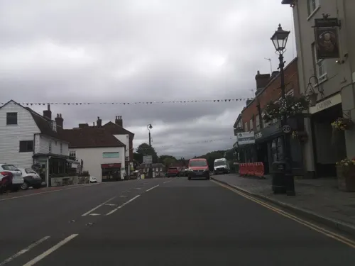
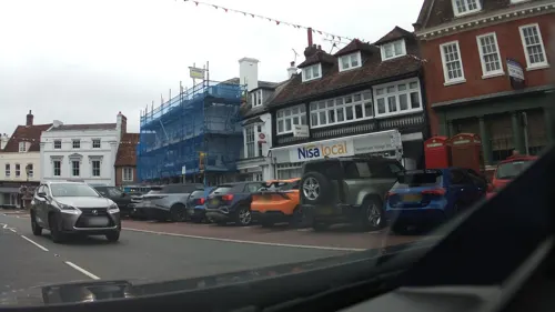
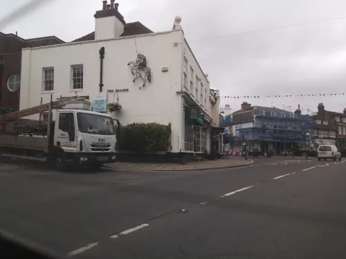
Westerham is a town of 3,303 people in England, United Kingdom.
Why visit Westerham
Townapedia lists 7 museums and landmarks, 5 parks and trails, 27 places to eat, 2 places to stay and 2 attractions in and around town.
Highlights include Quebec House, Chartwell and Westerham Golf Club.
Weather in Westerham
Forecast from MET Norway (CC BY 4.0). Full forecast
About Westerham
Westerham is a town and civil parish in the Sevenoaks District of Kent, England. It is located 3.4 miles east of Oxted and 6 miles west of Sevenoaks, adjacent to the Kent border with both Greater London and Surrey.
From the Wikipedia article Westerham (this version), under CC BY-SA 4.0.
Travel tips from other travellers: Westerham on Wikivoyage (CC BY-SA 4.0).
Things to do2


Museums and landmarks7
Chartwell
Museum · 1.6 mi
Country house south of Westerham, Kent, England, UK

Titsey Place
Museum · 2.4 mi
Country house in Titsey, Surrey, England, UK

Parks, trails and playgrounds5


Restaurants and cafes27
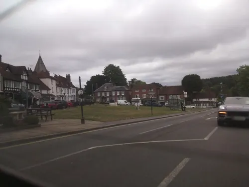
Tudor Rose Tea Rooms
Cafe
8 The Green, Westerham
Mo 09:00-16:00; Tu-Fr 08:00-16:30; Sa 08:00-17:00; Su 09:00-17:00
The Velo Barn Cafe
Cafe · 1.2 mi
Pilgrims Way, Westerham
Tu-Fr 09:00-17:00; Sa 09:00-13:00
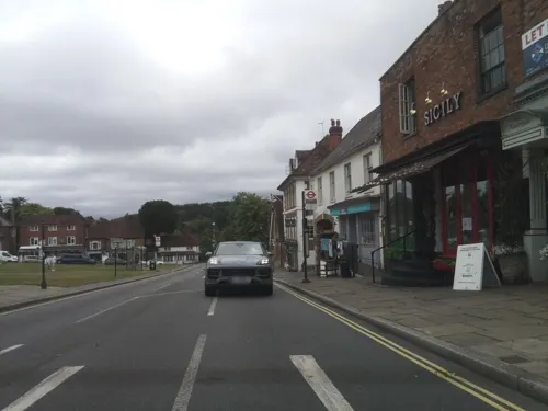
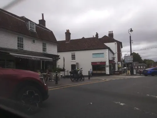

15 more on the map.
History
There is evidence that the area around Westerham has been settled for thousands of years: finds such as a Celtic fortification (c 2000 BC) and a Roman road are close by, along with the remains of a Roman encampment just past the ruins of a tower south of the town at the summit of Tower Woods.
The tower dates back to the 18th century, and was originally constructed by the owners of Squerryes Court as a folly for their children's amusement.
The manor was originally run by Godwin, Earl of Wessex and later by his son Harold Godwinson the last Saxon King of England. The first Norman lord of Westerham was Eustace II of Boulogne, and the town appears in the Domesday Book as Oistreham. By 1227 Henry III granted Westerham a market charter, making the new village a major player in the buying and selling of cattle in Kent, a tradition that survived to 1961 when the last cattle market was held. St Mary's Church is thought to date from the 13th century, although it was much altered in Victorian times. In 1503 the Protestant martyr John Frith was born in the town.
Read more of the history
The church is unusual in that it displays the only known representation of a royal arms of King Edward VI (reigned 1547–1553) in a church. There is little doubt that it is the king's arms as the supporters are a lion and a dragon, and there is a curious Latin phrase beside the arms: "VIVAT REX CURAT LEX" (Long live the King, custodian of the law). England did not have another male monarch until the Union of the Crowns in 1603.
In 1596, there was a peculiar subsidence of a hill measuring 80 by 28 perches, which was transformed into a dale.
James Wolfe was born in the town in 1727 at what is now known as the Old Vicarage due to a terrible storm on the night he was born. He lived in Quebec House—many streets and buildings are named after him and St Mary's contains not only the font in which he was baptised but also a memorial window to him by Edward Burne-Jones. The town square contains statues to both Wolfe and Churchill.
Interior and exterior scenes for the 2009 BBC mini-series Emma were shot at Squerryes Court with the house appearing as Emma Woodhouse's home Hartfield, while exterior scenes were shot at Chilham, Kent.
Alice Liddell, cited as the inspiration for Lewis Carroll's children's book Alice's Adventures in Wonderland, lived in the vicarage for a brief period. Alice rented 'The Breaches' not long before she died, but when she became very ill she went to stay with her sister Rhoda at Hoseyrigge in Westerham. She was born in Westminster, and when she died aged 82 a memorial service was held for her at St Mary's Church. She was not buried in Westerham.
Record producer Brian Higgins, whose Xenomania production team produced hit singles and albums for artists such as Girls Aloud, Kylie Minogue, Sugababes, Pet Shop Boys, Texas and Franz Ferdinand, now occupy what used to be known as the Old Vicarage.
BBC Children's TV founders Freda Lingstrom and Maria Bird lived together in Westerham and named their production company Westerham Arts which was commissioned by the BBC to create The Woodentops, Andy Pandy and the Flower Pot Men.
During a January 1967 visit to Knole Park in Sevenoaks to shoot a promotional film for Strawberry Fields Forever and Penny Lane, John Lennon stopped at a Westerham antiques shop and purchased a poster for Pablo Fanque's Circus Royal, which later inspired the song, "Being for the Benefit of Mr. Kite!"
As well as the parish church (a Grade II*-listed building), there are a Grade II-listed chapel associated with the Congregational Federation and a Roman Catholic church. Westerham Evangelical Congregational Church dates from 1839 and St John the Baptist's Catholic Parish Church opened in 1955.
From the History section of Westerham on Wikipedia, under CC BY-SA 4.0.
More about Westerham
Economy
Westerham was home to the Black Eagle Brewery, which was taken over by Taylor Walker & Co in the 1950s, becoming part of Ind Coope in 1959 and closing in 1965. Yeast from the brewery was preserved at the National Collection of Yeast Cultures and is now used by the present day Westerham Brewery which was established in 2004.
Westerham was home to Crayford Engineering, a successful car conversion company, from 1962 to the 1980s, working from a workshop at Squerryes Mede.
From the Wikipedia article Westerham, under CC BY-SA 4.0.
Notable people from Westerham
 James WolfeBritish Army officer (1727–1759)Photo: Attributed to Joseph Highmore, Public domain
 Anthony Bushellactor (1904–1997)Photo: RKO Pictures, Public domain
 Benjamin HoadlyBritish bishop (1676-1761)Photo: Sarah Hoadly (1676-1743), Public domain
- Carlile Aylmer MacartneyBritish historian (1895-1978)
- Penelope FarmerBritish children's writer
- John Cecil CurrieBritish Army officer
- Andrew George BoardBritish Army officer
- Alexander Streatfeild-MooreEnglish cricketer (1863-1940)
- Frederick BosworthEnglish cricketer (1825-1867)
- Richard CalvocoressiBritish museum curator and art historian
- Dennis HollardSouth African cricketer
Born in Westerham, according to Wikidata (CC0). Each name links to its Wikipedia article.
Where to stay2
Days Inn
Motel and hotel · 1.3 mi
Clacket Lane Motorway Service Area, M25 Westbound
Churches and places of worship7
Shopping5
Gas and EV charging2
Schools, colleges and libraries2
Churchill Church of England Voluntary Controlled Primary School
School · Anglican · 0.4 mi
Rysted Lane, Westerham
Healthcare1
Map of Westerham
60 places. The map loads OpenStreetMap tiles when you open it.
Getting there and nearby towns
London Biggin Hill Airport (BQH) is the nearest airport with scheduled flights listed in OpenStreetMap, 5 miles away.
- Sundridge 2 mi east, about 4 min by car
- Oxted 3 mi west, about 5 min by car
- Biggin Hill 4 mi northwest, about 6 min by car
- Sevenoaks 5 mi east, about 8 min by car
- Woldingham 5 mi west, about 7 min by car
- Caterham 6 mi west, about 10 min by car
- Chelsfield 7 mi north, about 11 min by car
- Whyteleafe 7 mi northwest, about 12 min by car
- Orpington 8 mi north, about 12 min by car
- West Wickham 8 mi northwest, about 13 min by car
Drive times are estimates from straight-line distance, not routes.
Towns near Westerham


Keep exploring
Local news
Headlines from INDB.
Reviews, tips and questions
Loading what members have shared...
Sources and licences
- GeoNames (CC BY 4.0): population, coordinates, regions and time zone
- Mapillary (see each image): photos
- OpenStreetMap contributors (ODbL 1.0): places, airports, map data
- Wikidata (CC0 1.0): elevation, founding date, time zone, website, landmarks and historic places
- Wikimedia Commons (see each image): photos
- Wikipedia (CC BY-SA 4.0): overview and history text
Photo credits
- Westerham, No machine-readable author provided. Ross Burgess assumed (based on copyright claims)., CC BY-SA 3.0
- Titsey Place Oxted Surrey, Anthony Whitworth, CC BY-SA 3.0
- Holy Trinity Church in Crockham Hill, Glen, CC BY 2.0
- Westerham Kings Arms, Arriva436, CC BY 3.0
- Odeles marginata (Fabricius, 1798) female Syn.- Elodes marginata (Fabricius, 1798) (22009652733), Udo Schmidt from Deutschland, CC BY-SA 2.0
- Street-level photo, southglos, CC BY-SA 4.0
- Street-level photo, southglos, CC BY-SA 4.0
- Street-level photo, southglos, CC BY-SA 4.0
- Street-level photo, southglos, CC BY-SA 4.0
- Street-level photo, southglos, CC BY-SA 4.0
- Street-level photo, southglos, CC BY-SA 4.0
- Street-level photo, southglos, CC BY-SA 4.0
- Street-level photo, Opspin, CC BY-SA 4.0
- Street-level photo, jjhaslanded, CC BY-SA 4.0
- Street-level photo, southglos, CC BY-SA 4.0
- Street-level photo, edloach, CC BY-SA 4.0
- Street-level photo, southglos, CC BY-SA 4.0
- Street-level photo, tallguy, CC BY-SA 4.0
- Street-level photo, Opspin, CC BY-SA 4.0
- Street-level photo, southglos, CC BY-SA 4.0
- Street-level photo, southglos, CC BY-SA 4.0
- Street-level photo, southglos, CC BY-SA 4.0
- Street-level photo, tallguy, CC BY-SA 4.0
- Street-level photo, tallguy, CC BY-SA 4.0
- Street-level photo, southglos, CC BY-SA 4.0
- Street-level photo, tallguy, CC BY-SA 4.0
- Street-level photo, tallguy, CC BY-SA 4.0
- Street-level photo, southglos, CC BY-SA 4.0
- Street-level photo, southglos, CC BY-SA 4.0
- Street-level photo, southglos, CC BY-SA 4.0
- Street-level photo, tallguy, CC BY-SA 4.0
Page built November 10, 2026. Spotted a mistake? Tell us or suggest a place.