


Ellesmere, United Kingdom
Ellesmere is a town of 3,686 people in England, United Kingdom.
Why visit Ellesmere
Townapedia lists 3 parks and trails, 18 places to eat and 2 places to stay in and around town.
Weather in Ellesmere
Forecast from MET Norway (CC BY 4.0). Full forecast
About Ellesmere
Ellesmere is a town in the civil parish of Ellesmere Urban, in Shropshire, England; it is located near to the Welsh border, the towns of Oswestry and Whitchurch, and the Welsh city of Wrexham. It is notable for its proximity to a number of prominent meres.
From the Wikipedia article Ellesmere, Shropshire (this version), under CC BY-SA 4.0.
Travel tips from other travellers: Ellesmere on Wikivoyage (CC BY-SA 4.0).
Parks, trails and playgrounds3


Restaurants and cafes18
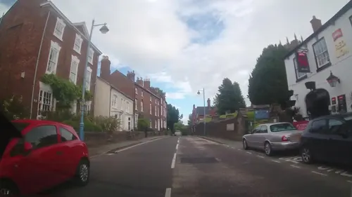
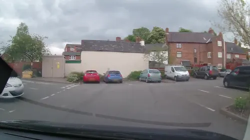
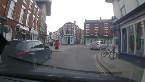
The Red Lion Coaching Inn
Bar and pub
18 Church Street, Ellesmere
Mo-Th 07:30-23:30; Fr-Su 07:30-00:00


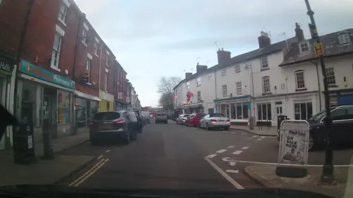
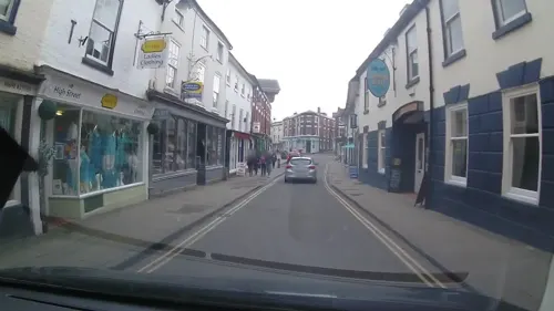
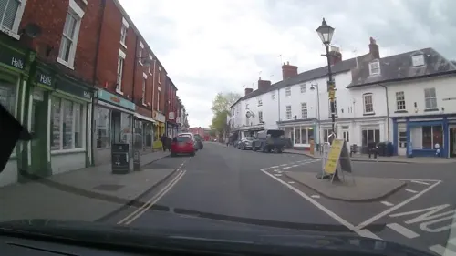
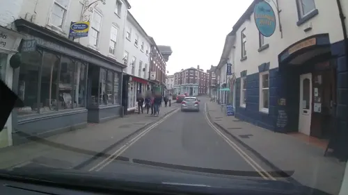

6 more on the map.
Where to stay2
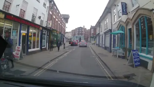

Newnes Touring Caravan Park
Campground · 0.9 mi
Churches and places of worship5

St Mary's Church, Ellesmere
Church · 0.4 mi
Church in Ellesmere, Shropshire, England, UK
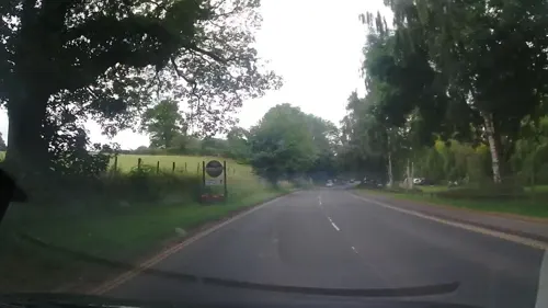

St Michael and All Angels' Church, Welshampton
Church · 2.3 mi
Church in Shropshire, Egland
History
The name Ellesmere derives from the Old English ellismere meaning 'Elli's mere'.
Ellesmere Castle was probably an 11th-century motte-and-bailey castle most likely built by either Roger de Montgomerie, 1st Earl of Shrewsbury, or his son Roger the Poitevin at Castlefields overlooking the Mere. Only its earthworks now remain, with the top of the motte being used for the bowling green, which still commands a fine view.
In 1114, King Henry I gave Ellesmere to William Peverel as a part of the Maelor, which included Overton and Whittington at that time. His descendants retained Ellesmere until apparently the late 1140s when the lordship was acquired, probably by force, by Madog ap Maredudd of Powys. Madog died in 1160 and Ellesmere came into the hands of King Henry II.
In 1177 King Henry II gave the manors of Ellesmere and Hales in England to Dafydd ab Owain Gwynedd (who already had a castle at Rhuddlan and was, by this time, the sole ruler of Gwynedd. Earlier, in the summer of 1174, Dafydd had married Emme of Anjou, half sister of Henry, and sister of Hamelin de Warenne, Earl of Surrey, both illegitimate children of Geoffrey V, Count of Anjou). Dafydd remained Lord of Ellesmere until his death in 1203.
Read more of the history
In mid-April 1205, Llywelyn the Great married Joan, Lady of Wales illegitimate daughter of King John and Ellesmere was given to them as a wedding gift. Llywelyn's mother was Marared (Margaret), daughter of Madog ap Maredudd, Prince of Powys. There is evidence that, after her first husband Iorwerth's death, Marared married in the summer of 1197, Gwion, the nephew of Roger Powys of Whittington Castle. She seems to have pre-deceased her husband, after bearing him a son, David ap Gwion, and therefore there can be no truth in the story that she later married into the Corbet family of Caus Castle (near Westbury, Shropshire) and later, Moreton Corbet Castle. Ellesmere was ordered to be attacked by King Henry III in 1231, but Llywelyn retained control of the lordship until his death in 1240. In 1241 King Henry III ordered John le Strange to repair the wooden castle of Ellesmere.
The lordship appears to have later passed into the hands of Llywelyn ap Gruffudd or his brother Dafydd ap Gruffydd, grandsons of Llywelyn ab Iorwerth and last of the native Princes of Wales. The castle fell to royal troops from Chester during March 1282.
In 1287, Oliver Ingham, who was an English commander and administrator in Aquitaine during the War of Saint-Sardos and early Hundred Years War was born in Ellesmere and granted custody of Ellesmere Castle in 1321. His daughter Joan married Robert ("Roger") le Strange, 4th Baron Strange, son of Lord Strange of Knockin and Isolda de Walton.
By 1294, the preceptory of Dolgynwal (Ysbyty Ifan, Denbighshire, on the banks of the River Conwy) had been united with Halston, which was subsequently the administrative centre for all Knights Hospitaller estates in North Wales. Dolgynwal, which had been founded c. 1190, had acquired Ellesmere Church, its most substantial property, from Llywelyn the Great in 1225
In 1435, Griffin Kynaston, Seneschal of the Lordship of Ellesmere, (born at Stocks of landed gentry – descended from the princes of Powys), gave evidence at Shrewsbury to confirm the age of John Burgh, Lord of Mowthey, sponsored by Lord John Talbot, 1st Earl of Shrewsbury, Lieutenant of Ireland. Griffin's fourth son, Sir Roger Kynaston, was appointed for life as Escheator and Sheriff of Merioneth and became Constable of Harlech Castle and Sheriff of Shropshire. Humphrey Kynaston, the son of Roger and his second wife Elizabeth Grey was, in 1491, declared an outlaw by King Henry VII and took shelter in a cave in the west point of Nesscliffe Rock, called to this day "Kynaston's Cave". He was pardoned in 1493.
The former Marcher Lordship of Ellesmere (formerly a Hundred in its own right) was annexed to Shropshire and the Hundred of Pymhill by section 11 of the Laws in Wales Act 1535.
Francis Egerton, 1st Earl of Ellesmere, was born Lord Francis Leveson-Gower, in London in 1800. A patron of the arts, in 1848 he purchased at auction for 355 guineas from the estate of Richard Temple-Grenville, 2nd Duke of Buckingham and Chandos, the only known (or suspected) portrait of William Shakespeare in existence. Ellesmere Island in Canada was named after him.
There was a tannery located on the edge of the Mere in what is now known as Cremorne Gardens. These gardens were given to the people of Ellesmere by Lord Brownlow who was heavily involved in the Edward VIII abdication crisis of 1936.
From the History section of Ellesmere, Shropshire on Wikipedia, under CC BY-SA 4.0.
More about Ellesmere
Geography
The town is located by the side of Ellesmere (aka 'the Mere'), one of the largest natural meres in England outside the Lake District and one of nine glacial meres in the area. ('glacial' means that the depression occupied by the mere was the location of a block of ice that persisted at the end of the last ice age). These meres are different from those in the Lake District in that they do not have a flow of water into them to maintain the level.
An artificial island in the Mere was constructed in 1812 from soil dug out during the making of the gardens at Ellesmere House. This was later named Moscow Island, as Napoleon was forced to retreat from Moscow that year. The Mere has a visitors' centre and is popular with birdwatchers, many of whom visit to see grey herons nesting. There are eight other meres nearby: Blakemere, Colemere, Crosemere, Kettlemere, Newtonmere, Whitemere, Sweatmere and Hanmer Mere.
Education
The town has two schools. Ellesmere Primary School is a primary and nursery school for boys and girls aged 4–11. In 2013 Lakelands School became an academy. Lakelands Academy provides state-paid education for boys and girls in the 11–16 age range (for whom schooling is compulsory) and its former pupils include Luke Preston. Several other nearby schools serve the wider community, such as Welshampton Church of England School.
A short distance outside the town is Ellesmere College, a public (i.e., private) boarding school founded in 1884 by Canon Nathaniel Woodard for sons of the middle classes. It is now a fully co-educational school catering for pupils from 7–18.
From the Wikipedia article Ellesmere, Shropshire, under CC BY-SA 4.0.
Notable people from Ellesmere
 Peter LeeCanadian ice hockey playerPhoto: Sandro Halank, Wikimedia Commons, CC BY-SA 4.0
 Harold John Edward PeakeBritish archaeologistPhoto: Unknown author, CC BY 4.0
- Eglantyne JebbsBritish social reformer, founder of "Save the Children" (1876-1928)
- David Chilton PhillipsBiophysicist and structural biologist (1924-1999)
- Robert TophamEnglish footballer (1867-1931)
- Arthur TophamEnglish footballer (1869-1931)
- Louisa WilkinsEnglish agricultural administrator
- William NunnerleyBritish football executive
Born in Ellesmere, according to Wikidata (CC0). Each name links to its Wikipedia article.
Shopping5
Gas and EV charging1
Schools, colleges and libraries4
Healthcare2
Map of Ellesmere
40 places. The map loads OpenStreetMap tiles when you open it.
Getting there and nearby towns
Hawarden Airport (CEG) is the nearest airport with scheduled flights listed in OpenStreetMap, 19 miles away.
- Whittington 5 mi southwest, about 8 min by car
- Gobowen 6 mi west, about 9 min by car
- Oswestry 7 mi southwest, about 12 min by car
- Wem 8 mi southeast, about 13 min by car
- Ruyton-XI-Towns 8 mi south, about 13 min by car
- Baschurch 8 mi south, about 14 min by car
- Malpas 9 mi northeast, about 15 min by car
- Rhosllannerchrugog 10 mi northwest, about 16 min by car
- Wrexham 10 mi north, about 17 min by car
- Whitchurch 10 mi northeast, about 16 min by car
Drive times are estimates from straight-line distance, not routes.
Towns near Ellesmere


Keep exploring
Local news
Headlines from INDB.
Reviews, tips and questions
Loading what members have shared...
Sources and licences
- GeoNames (CC BY 4.0): population, coordinates, regions and time zone
- Mapillary (see each image): photos
- OpenStreetMap contributors (ODbL 1.0): places, airports, map data
- Wikidata (CC0 1.0): elevation, founding date, time zone, website, landmarks and historic places
- Wikimedia Commons (see each image): photos
- Wikipedia (CC BY-SA 4.0): overview and history text
Photo credits
- Public Library, Ellesmere, Jonathan Hutchins, CC BY-SA 2.0
- Ellesmere Town Hall, Richard Kelly, CC BY 4.0
- St Mary's Church, Ellesmere, J Scott, CC BY-SA 2.0
- Black Lion Hotel, Ellesmere, Jonathan Hutchins, CC BY-SA 2.0
- Swan Hotel, Ellesmere, Jonathan Hutchins, CC BY-SA 2.0
- Street-level photo, trigpoint, CC BY-SA 4.0
- Street-level photo, trigpoint, CC BY-SA 4.0
- Street-level photo, trigpoint, CC BY-SA 4.0
- Street-level photo, trigpoint, CC BY-SA 4.0
- Street-level photo, trigpoint, CC BY-SA 4.0
- Street-level photo, trigpoint, CC BY-SA 4.0
- Street-level photo, trigpoint, CC BY-SA 4.0
- Street-level photo, trigpoint, CC BY-SA 4.0
- Street-level photo, trigpoint, CC BY-SA 4.0
- Street-level photo, trigpoint, CC BY-SA 4.0
- Street-level photo, trigpoint, CC BY-SA 4.0
- Street-level photo, trigpoint, CC BY-SA 4.0
- Street-level photo, trigpoint, CC BY-SA 4.0
- Street-level photo, trigpoint, CC BY-SA 4.0
- Street-level photo, trigpoint, CC BY-SA 4.0
- Street-level photo, trigpoint, CC BY-SA 4.0
- Street-level photo, trigpoint, CC BY-SA 4.0
- Street-level photo, trigpoint, CC BY-SA 4.0
Page built November 10, 2026. Spotted a mistake? Tell us or suggest a place.