


Farnsfield, United Kingdom
Farnsfield is a town of 2,566 people in England, United Kingdom.
Why visit Farnsfield
Townapedia lists 1 museum or landmark, 4 parks and trails, 11 places to eat, 1 place to stay and 2 attractions in and around town.
Highlights include Wheelgate Park.
Weather in Farnsfield
Forecast from MET Norway (CC BY 4.0). Full forecast
About Farnsfield
Farnsfield is a large village and civil parish in Nottinghamshire in Sherwood Forest. It is in the local government district of Newark and Sherwood. The population of the civil parish as at the United Kingdom Census 2001 was 2,681, increasing in the 2011 census to 2,731, and 3,216 at the 2021 census.
From the Wikipedia article Farnsfield (this version), under CC BY-SA 4.0.
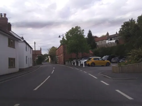
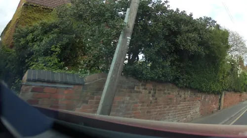
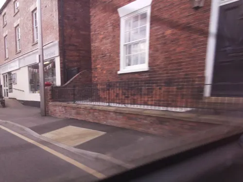
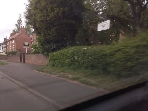
Photos of Farnsfield


Things to do2

Museums and landmarks1
Parks, trails and playgrounds4


Restaurants and cafes11
Le Petit Vert
Restaurant · French
Main Street, Newark
Mo 09:00-16:00; We 09:00-16:00; Th-Sa 09:00-23:00; Su 10:00-16:00


History
The parish church of St Michael dates from the 15th century, before the Reformation. It was rebuilt by Thomas Chambers Hine and Robert Evans in 1859 to 1860. Only a fragment of the tower from the 15th-century building survives. The parish is in the Diocese of Southwell and Nottingham.
The area has evidence at several sites of ancient Roman and earlier occupation. To the south of the village, along the footpath to Oxton, are the remains of a small Roman marching camp, marked by a small Roman fort. There are no standing remains in the fields, but outlines of the buildings are clearly visible on aerial photos, including the satellite view on Google Maps. One mile south-west of the village is a small oval earthwork. The remains of a hillfort at Combs Farm is encircled by a bank and ditch. From excavated material, this fort appears to have been Romano-British in origin. Two ditches in a wood at Camp Hill, 1½ miles north-east of Farnsfield, are the remaining traces of an Iron Age earthwork, a hillfort. In the 18th century, researchers estimated it to have been 40 acres (16 ha) in area. The Roman camp and the ancient hillfort at Combs Farm are both protected Scheduled Monuments.
Read more of the history
There was a tower windmill on Siding Lane (grid reference SK644572) shown on a map of 1898 as an 'old windmill'. It was recorded as a shell in August 1935, with the cap and fantail gone. The mill was owned at some time by a miller named Whitehead, who also milled at Edingley Watermill. When in use, it was powered by a gas engine.
The Good Intent Windmill (grid reference SK639571) was a tower mill, built c. 1820 for Holliday, a resident of Farnsfield. Material for building the mill was carted from Fiskerton. The tower was 6 storeys, brick-built and untarred, with 4 sweeps driving 3 pairs of stones (1 French and 2 grey). The mill was worked by William Shaw, who was succeeded by his son Alec c. 1893. The mill was sold to George Hutchinson, who worked it for short periods until the machinery was dismantled and the tower demolished about 1915.
A post windmill was recorded near the Junction Inn, owned by Bower.
On 6 July 1944 an RAF Halifax bomber MZ519-LKU crashed on the south side of the village on its return to RAF Burn near York. The Halifax had been on a mission to destroy a V1 flying bomb site in Nazi-occupied France. All of the Canadian and British crewmen on board were killed. A large memorial was erected at the crash site. A copse of English oaks and Canadian maples was planted and dedicated to the crewmen.
A History of Farnsfield was published in 2000 by the Farnsfield Millennium Trust. They also compiled an oral history based on recordings of local people and related transcripts; copies of these were given to the local schools. A copy available in the library is illustrated by local artist Barbara Coulam.
The Lady Goodwin Play Park on Station Lane is named after Lady Florence Goodwin, the wife of philanthropist Sir Stuart Goodwin: he was High Sheriff of Nottinghamshire in 1955.
From the History section of Farnsfield on Wikipedia, under CC BY-SA 4.0.
Notable people from Farnsfield
 Augustus Charles GregoryAustralian explorer (1819-1905)Photo: Unknown author, Public domain
 Richard HowittBritish cricketer (1864-1951)Photo: Photo by E Hawkins of Brighton, Public domain
Born in Farnsfield, according to Wikidata (CC0). Each name links to its Wikipedia article.
Where to stay1
Churches and places of worship9
Schools, colleges and libraries2
Map of Farnsfield
30 places. The map loads OpenStreetMap tiles when you open it.
Getting there and nearby towns
Nottingham City Airport (NQT) is the nearest airport with scheduled flights listed in OpenStreetMap, 13 miles away.
- Lowdham 6 mi south, about 10 min by car
- Mansfield 7 mi west, about 12 min by car
- Boughton 7 mi north, about 11 min by car
- Arnold 8 mi southwest, about 13 min by car
- Mansfield Woodhouse 8 mi northwest, about 13 min by car
- Hucknall 8 mi southwest, about 14 min by car
- Farndon 8 mi southeast, about 14 min by car
- Kirkby in Ashfield 9 mi west, about 14 min by car
- Newark on Trent 9 mi east, about 15 min by car
- Sutton in Ashfield 10 mi west, about 15 min by car
Drive times are estimates from straight-line distance, not routes.
Towns near Farnsfield


Keep exploring
Local news
Headlines from INDB.
Reviews, tips and questions
Loading what members have shared...
Sources and licences
- GeoNames (CC BY 4.0): population, coordinates, regions and time zone
- Mapillary (see each image): photos
- OpenStreetMap contributors (ODbL 1.0): places, airports, map data
- Wikidata (CC0 1.0): elevation, founding date, time zone, website, landmarks and historic places
- Wikimedia Commons (see each image): photos
- Wikipedia (CC BY-SA 4.0): overview and history text
Photo credits
- Straws Cottage, Farnsfield, Alan Murray-Rust, CC BY-SA 2.0
- Wheatsheaf Cottage, Farnsfield, Alan Murray-Rust, CC BY-SA 2.0
- Burgess House, Farnsfield, Alan Murray-Rust, CC BY-SA 2.0
- Wall and gate, Burgess House, Farnsfield, Alan Murray-Rust, CC BY-SA 2.0
- Jasmine Cottage, Farnsfield, Alan Murray-Rust, CC BY-SA 2.0
- Barn, Old Manor Farm, Farnsfield, Alan Murray-Rust, CC BY-SA 2.0
- Pot Shop Cottage, Farnsfield, Alan Murray-Rust, CC BY-SA 2.0
- Barn, Church Farm, Farnsfield, Alan Murray-Rust, CC BY-SA 2.0
- Street-level photo, southglos, CC BY-SA 4.0
- Street-level photo, southglos, CC BY-SA 4.0
- Street-level photo, southglos, CC BY-SA 4.0
- Street-level photo, southglos, CC BY-SA 4.0
- Street-level photo, adam2, CC BY-SA 4.0
- Street-level photo, southglos, CC BY-SA 4.0
- Street-level photo, southglos, CC BY-SA 4.0
- Street-level photo, victuallers, CC BY-SA 4.0
- Street-level photo, southglos, CC BY-SA 4.0
- Street-level photo, southglos, CC BY-SA 4.0
- Street-level photo, southglos, CC BY-SA 4.0
- Street-level photo, southglos, CC BY-SA 4.0
- Street-level photo, southglos, CC BY-SA 4.0
- Street-level photo, southglos, CC BY-SA 4.0
- Street-level photo, southglos, CC BY-SA 4.0
Page built November 10, 2026. Spotted a mistake? Tell us or suggest a place.