


Felixstowe, United Kingdom
Felixstowe is a town of 24,521 people in England, United Kingdom.
Why visit Felixstowe
Townapedia lists 15 museums and landmarks, 21 parks and trails, 105 places to eat, 8 places to stay and 3 attractions in and around town.
Highlights include Palace Cinema, Harwich High Lighthouse, Felixstowe Museum and Landguard Fort.
Weather in Felixstowe
Forecast from MET Norway (CC BY 4.0). Full forecast
About Felixstowe
Felixstowe is a port town and civil parish in the East Suffolk District of Suffolk, England. The estimated population in 2017 was 24,521. The Port of Felixstowe is the largest container port in the United Kingdom. Felixstowe is approximately 72 miles (116 km) northeast of London.
From the Wikipedia article Felixstowe (this version), under CC BY-SA 4.0.
Travel tips from other travellers: Felixstowe on Wikivoyage (CC BY-SA 4.0).
Photos of Felixstowe


Things to do3
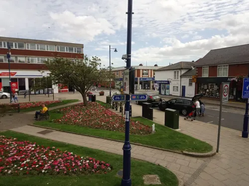

Harwich High Lighthouse
Lighthouse · 3.0 mi
Lighthouse in Harwich, Essex, England, UK
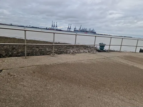
Harwich Low Lighthouse
Lighthouse · 2.9 mi
Lighthouse in Harwich, Tendring, Essex, England, UK
Museums and landmarks15


HMS Ganges
Monument and historic site · 3.4 mi
Royal Navy shore establishment
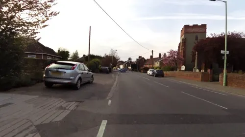

Walton Priory
Monument and historic site · 0.7 mi
Benedictine priory in Suffolk, England, UK

Martello Tower R
Monument and historic site · 0.4 mi
The Bartlet Hospital (now apartments) incorporated the surviving lower section of the tower.




Flood Memorial
Monument and historic site · 1.0 mi
Memorial to the victims of the North Sea flood of January 31st 1953.
3 more on the map.
Parks, trails and playgrounds21


Ocean Boulevard
Sports field and stadium · 0.6 mi
Rides and attractions for all ages. Including miniature railway, drift karts, inflatable slide, water walkers and more. Refreshment...
Sea Road, Felixstowe
Daily Easter to September and weekends/school holidays the rest of...

Allenby Park
Park
Nov-Feb 07:30-16:00; Mar 07:30-18:00; Apr 07:30-20:00; May-Jul...

9 more on the map.
Restaurants and cafes105
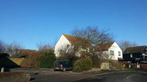
Sylhet Royal
Restaurant · Indian · 1.7 mi
Cash payment only in the restaurant
85 Faulkeners Way, Felixstowe
Tu-Su,PH 17:00-21:30; Mo closed
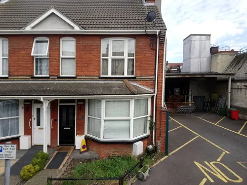
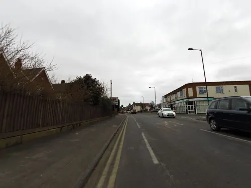
Cuppa
Cafe · Coffee Shop, Cake, Tea, Coffee, Tea Shop · 0.4 mi
81 High Road West, Felixstowe
Mo-Sa 10:00-16:00; Su 09:00-12:00
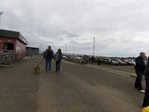
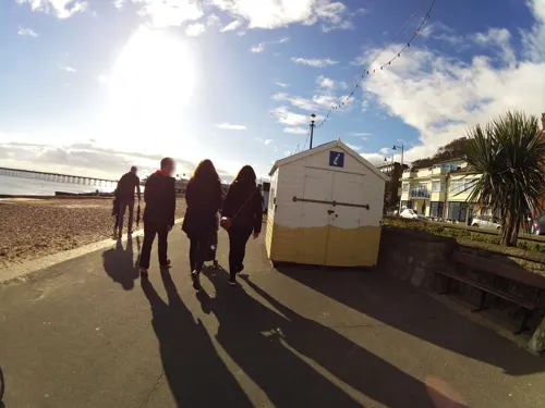
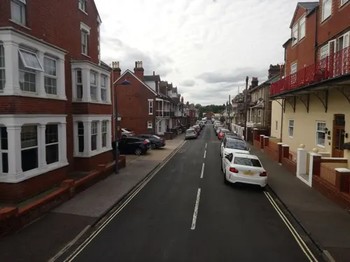
Beach Break
Cafe · Ice Cream, Tea, Coffee, Cold Drinks, Hot Snacks · 0.6 mi
Refreshment kiosk selling Kelly's ice cream, whippy ice cream, tea & coffee, hot and cold snacks.
Sea Road, Felixstowe
Mo-Su "weather depending"
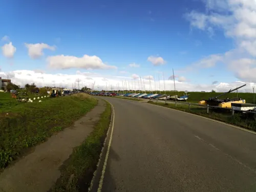
Fresh & Co
Cafe · Salad, Smoothies · 1.0 mi
20 Beach Station Road, Felixstowe
Mo-Fr 08:15-15:00; Sa-Su closed

Beach Bites
Cafe · Sandwich, Breakfast, Wraps, Roasted Chicken · 1.0 mi
12 Beach Station Road, Felixstowe
Mo-Fr 07:00-14:30; Sa closed; Su 09:00-14:30
All Things Nice Cafe
Cafe · Breakfast, Salad, Burger, Soup, Wraps, Potato
79 Hamilton Road, Felixstowe
Mo-Sa 08:00-17:30; Su 09:00-16:00
93 more on the map.
History
There are competing theories as to how the name of Felixstowe arose. One is that the town is named after Felix of Burgundy, a saint and the first bishop of the East Angles in the seventh century, although this is unlikely as the name Felixstowe is not recorded for almost 900 years. An alternative etymology is from the Anglo-Saxon or Old English name "Filicia" and "stōw", meaning a place of location. Literally Filicia's place. The earliest recorded names "Filchestou" from 1254, and "Filchestowe" in 1291 support this idea. It is possible that the later reworking of Filicia/Filche was made with the intention of referencing Felix of Burgundy.
Read more of the history
The old Felixstowe hamlet was centred on a pub and church, having stood on the site since long before the Norman conquest of England. The early history of Felixstowe, including its Roman, Anglo-Saxon, Norman and medieval defences, is told under the name of Walton, because the name Felixstowe was given retrospectively, during the 13th century, to a place which had expanded to a form beyond the boundaries of Walton alone. In the Domesday Book, for instance, only Walton is shown, and not Felixstowe, which at the time held little more than a few houses scattered over the cliff tops. Walton was a settlement on the River Orwell and in 1844 had a population of 907 compared to the relatively small Felixstowe Parish holding only 502 people. Walton had always preceded Felixstowe as a settlement as seen by the presence of Walton Castle, built by the Romans in the 3rd century, but today Walton is generally considered part of Felixstowe due to modern expansion.
Felixstowe is situated at the tip of the Colneis peninsula, and was in the ancient Colneis Hundred of Suffolk.
The Felixstowe area as a whole provided a linchpin in England's defence, as proved in 1667 when Dutch soldiers landed near the Fludyers area and tried (unsuccessfully) in the Battle of Landguard Fort to capture Landguard Fort due to its strategic location. The town only became a major port in 1886 when the docks opened, following the initial construction of the dock basin in 1882.
In 1810 or 1811 seven Martello Towers were built along the shore, of which four survive. Tower P on Wireless Green, off Old Fort Road, is the home of the local CoastWatch group. Q Tower, in the town, was the HQ of the Harwich-Ipswich-Martlesham Heath anti-aircraft guns between 1941 and 1945, earlier it had been in Landguard Fort.
At the turn of the century, tourism increased, and a pier was constructed in 1905, some of which is partially functional to this day as an amusement arcade. Indeed, during the late Victorian period (after circa 1880) it became a fashionable resort, a trend initiated by the opening of Felixstowe Town railway station, the pier and a visit by the German imperial family in 1891.
It was in this buoyant period that Felixstowe was the first British town to adopt beach huts as stationary permanent structures (rather than wheeled bathing machines) and there are photographic records of beach huts at the "spa area" in Felixstowe dating back to 1895. It is therefore known as the home to British beach huts. Some of the beach huts in the spa area (a conservation area) date back to c.1900, so are probably the original beach huts. On the cliffs above this area sits Harvest House, which was built as The Felix Hotel in 1903, and was known as "the millionaire's hotel", because of the gentry and royal visitors it attracted. The Floral Hall was built in 1909, and subsequently became known as The Spa Pavilion. Felixstowe remained a fashionable seaside destination until the late 1930s.
In April 1914 as part of the suffragette bombing and arson campaign Bath Hotel, which was popular with elite visitors, was burnt down.
Felixstowe played an important role in both world wars; in the first as Royal Naval Air Service and RAF seaplane base RNAS Felixstowe, and in the second as the Coastal Forces MTB, MGB and ML base HMS Beehive. Between the wars the seaplane station housed the RAF experimental establishment which tested seaplanes and flying boats. Its sheds and piers were incorporated in the MTB base and later the container port.
On 11 August 1919, the Felixstowe Fury sideslipped and crashed into the sea 500 yards offshore soon after take-off while on a test flight. It was preparing for an 8,000-mile flight to Cape Town, South Africa. The wireless operator, Lt. MacLeod, was killed, and the six passengers were rescued. The wreckage was towed ashore.
Wallis Simpson stayed in Felixstowe in 1936 in order to claim residence for her divorce from Ernest Simpson so that she could marry Edward VIII. The divorce and marriage sparked the abdication crisis in the same year.
Most of the south-western area of Felixstowe Urban District, between the Dock, Landguard Point, and Manor Road, was occupied by the Navy, RAF and Army. with Landguard Fort and several ruined gun emplacements and bunkers a reminder of the 1939–1945 era.
It was the first base from which Second World War German E-boats and coastal convoys were systematically attacked—by flotilla led by Lt-Commanders Howes, Dickens, Hichens and Trelawney. Felixstowe was also HQ of the Harwich Harbour coast and anti-aircraft defences, and accommodated the RAF's 26th Marine Craft (Air-Sea Rescue) Unit. In 1944 the piers near the Dock were used to load troops, tanks and vehicles onto the British and American landing craft of "Force L", which reinforced the Normandy Invasion on its first and second days.
In 1945 the German naval commanders in Occupied Holland arrived in E-boats at Felixstowe Dock to surrender their boats and charts to the Royal Navy.
In 1953, at least 48 people died in the town during the North Sea flood.
In 1993 'Fast Eddie Maher', a security van driver, stole £1.2m cash from outside Lloyds bank. He went on the run and was eventually arrested in 2012.
From the History section of Felixstowe on Wikipedia, under CC BY-SA 4.0.
More about Felixstowe
Arts and culture
Felixstowe draws tourist visitors and has traditional seaside offerings such as Felixstowe Pier and the Seafront Gardens. There is also the Forum Amusement Centre, Ocean Boulevard and Manning's Amusements. Visitors can also see Landguard Fort, Landguard Nature Reserve, Felixstowe Ferry and the Felixstowe Museum. There are a number of hotels and guesthouses, self-catering properties and camping/caravanning sites catering for visitors.
From the Wikipedia article Felixstowe, under CC BY-SA 4.0.
Notable people from Felixstowe
 John MillsBritish actor (1908–2005)Photo: CBS Photo Division, Public domain
 Dawn AddamsBritish actress (1930–1985)Photo: CBS Television. It was not uncommon..., Public domain
 Matt BloomfieldEnglish Footballer and managerPhoto: ukhomeoffice, CC BY 2.0
 Wei Wu WeiBritish writer (1895–1986)Photo: Dylife, CC BY-SA 4.0
 John Bridgemansculptor (1916-2004)Photo: Papamichael, CC BY 3.0
- William BrownriggBritish scientist
- James BarclayBritish writer
- Roy LewisEnglish writer (1913-1996)
- James PaiceBritish politician (born 1949)
- John HaywardEnglish politician and historian
- Derek BealesBritish historian
- Simon Clementscricketer (born 1956)
Born in Felixstowe, according to Wikidata (CC0). Each name links to its Wikipedia article.
Where to stay8
Churches and places of worship19
Shopping21
Gas and EV charging3
Schools, colleges and libraries10
Healthcare7
Map of Felixstowe
212 places. The map loads OpenStreetMap tiles when you open it.
Getting there and nearby towns
RAF Honington (BEQ) is the nearest airport with scheduled flights listed in OpenStreetMap, 36 miles away.
- Harwich 3 mi southwest, about 5 min by car
- Walton-on-the-Naze 9 mi southwest, about 14 min by car
- Woodbridge 9 mi north, about 15 min by car
- Frinton-on-Sea 10 mi southwest, about 17 min by car
- Ipswich 11 mi northwest, about 17 min by car
- Colchester 20 mi west, about 32 min by car
- Stowmarket 22 mi northwest, about 35 min by car
- Sudbury 27 mi west, about 43 min by car
- Halstead 30 mi west, about 49 min by car
- Witham 32 mi west, about 52 min by car
Drive times are estimates from straight-line distance, not routes.
Towns near Felixstowe


Keep exploring
Local news
Headlines from INDB.
Reviews, tips and questions
Loading what members have shared...
Sources and licences
- GeoNames (CC BY 4.0): population, coordinates, regions and time zone
- Mapillary (see each image): photos
- OpenStreetMap contributors (ODbL 1.0): places, airports, map data
- Wikidata (CC0 1.0): elevation, founding date, time zone, website, landmarks and historic places
- Wikimedia Commons (see each image): photos
- Wikipedia (CC BY-SA 4.0): overview and history text
Photo credits
- Felixstowe beach -Suffolk -England -14Aug2008, Martin Pettitt, CC BY 2.0
- Abbotts Countrywide Felixstowe, Abbottscountrywide, CC BY-SA 4.0
- Felixstowe Breakwater, Jason Moss, CC0
- High Lighthouse, Maria, CC BY-SA 3.0
- HMS Ganges mast, Coote, R G G (Lt) Royal Navy official photographer, Public domain
- Felixstowe - Landguard Fort, Colin Park, CC BY-SA 2.0
- Bartlet Hospital, Felixstowe, northern elevation (orginal entrance), Tim Garrett-Moore, CC BY-SA 4.0
- Coastguard Station, converted from a Martello Tower, Tim Garrett-Moore, CC BY-SA 4.0
- FFerryMartello, Tony Lockhart, CC BY-SA 4.0
- Martello tower on edge of Felixstowe Ferry golf course, Tim Garrett-Moore, CC BY-SA 4.0
- Landguard Fort Jan 2026, Scribwik, CC BY-SA 4.0
- The Chapel at The Priory, Blythburgh 1377199, No Swan So Fine, CC BY-SA 4.0
- Bencotto lighting - panoramio, tictac, CC BY-SA 3.0
- Street-level photo, adam2, CC BY-SA 4.0
- Street-level photo, smsm1, CC BY-SA 4.0
- Street-level photo, smsm1, CC BY-SA 4.0
- Street-level photo, smsm1, CC BY-SA 4.0
- Street-level photo, smsm1, CC BY-SA 4.0
- Street-level photo, smsm1, CC BY-SA 4.0
- Street-level photo, smsm1, CC BY-SA 4.0
- Street-level photo, IpswichEdits, CC BY-SA 4.0
- Street-level photo, smsm1, CC BY-SA 4.0
- Street-level photo, smsm1, CC BY-SA 4.0
- Street-level photo, smsm1, CC BY-SA 4.0
- Street-level photo, smsm1, CC BY-SA 4.0
- Street-level photo, smsm1, CC BY-SA 4.0
- Street-level photo, smsm1, CC BY-SA 4.0
- Street-level photo, edloach, CC BY-SA 4.0
- Street-level photo, adam2, CC BY-SA 4.0
- Street-level photo, smsm1, CC BY-SA 4.0
- Street-level photo, smsm1, CC BY-SA 4.0
- Street-level photo, smsm1, CC BY-SA 4.0
- Street-level photo, smsm1, CC BY-SA 4.0
- Street-level photo, smsm1, CC BY-SA 4.0
- Street-level photo, IpswichEdits, CC BY-SA 4.0
- Street-level photo, IpswichEdits, CC BY-SA 4.0
- Street-level photo, smsm1, CC BY-SA 4.0
- Street-level photo, adam2, CC BY-SA 4.0
- Street-level photo, smsm1, CC BY-SA 4.0
- Street-level photo, smsm1, CC BY-SA 4.0
Page built November 10, 2026. Spotted a mistake? Tell us or suggest a place.