


Why visit Witham
Townapedia lists 3 museums and landmarks, 16 parks and trails, 27 places to eat and 1 place to stay in and around town.
Highlights include Cressing Temple, Dorothy L Sayers Statue, Whet Mead and Whetmead Local Nature Reserve.
Weather in Witham
Forecast from MET Norway (CC BY 4.0). Full forecast
About Witham
Witham () is a town and civil parish in the Braintree district, in the county of Essex, England. It stands on the Roman road between the cities of Chelmsford (8 mi or 13 km south-west) and Colchester (13 mi or 21 km north-east). The River Brain runs through the town and joins the River Blackwater on the outskirts. At the 2021 census the population of the parish was 27,797 and the population of the built up area was 27,395.
From the Wikipedia article Witham (this version), under CC BY-SA 4.0.
Travel tips from other travellers: Witham on Wikivoyage (CC BY-SA 4.0).
Museums and landmarks3

Cressing Temple
Museum · 2.9 mi
Ancient monument situated between Witham and Braintree in Essex, England, UK


Parks, trails and playgrounds16




4 more on the map.
Restaurants and cafes27
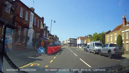
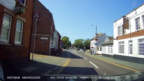
Crafty Bear Kitchen
Cafe · Coffee Shop, Tea, Cake
128 Newland Street
Mo-Tu off; We-Sa 10:00-17:30; Su 10:00-16:00
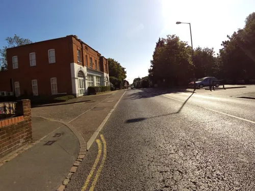
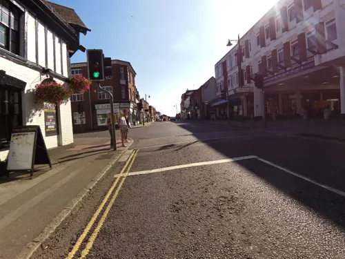
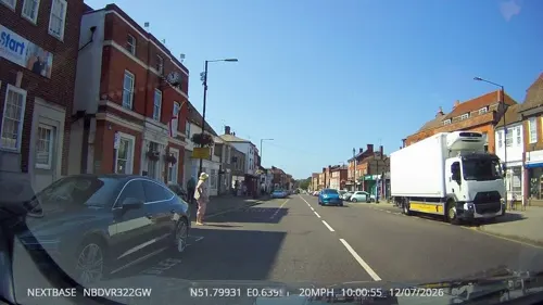
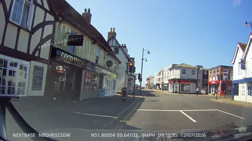
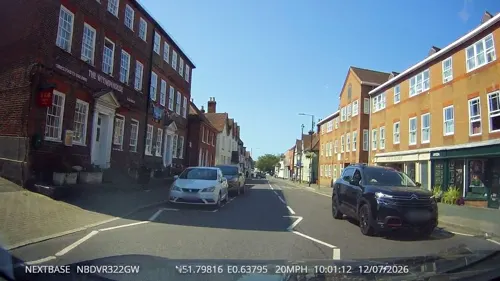
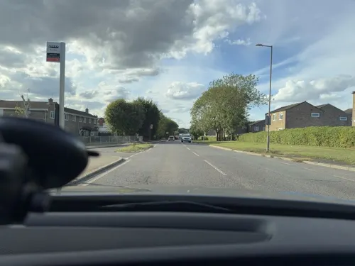

Strawberry Tea Room
Cafe · Breakfast, Cake, Coffee Shop, Sandwich, Tea · 1.3 mi
Maldon Road
Mo-Sa 09:00-16:00; Su 10:00-16:00


15 more on the map.
Where to stay1
History
Excavations by Essex County Council Field Archaeological unit at the recent Maltings Lane development discovered evidence of Neolithic occupation at Witham, including human remains and several trackways across ancient marsh. Excavations of the Witham Lodge (Ivy Chimneys) area of the town in the 1970s unveiled remains of a Roman temple as well as a pottery kiln. This would have been alongside the main Roman road from Colchester to London and used as a stopover point on the long journey. Another notable find during the excavation was a votive offering pool in the grounds of the temple, containing several artefacts that would have been offered to the gods.
In 913, according to the Anglo-Saxon Chronicle, Edward the Elder marched from Hertford to reconquer Essex, and encamped in Witham on his route to set up a base at Maldon. Witham's position on the Roman road in relation to the major Viking army based at Colchester was the most likely reason for this, and it would have effectively cut Essex in two.
The place-name Witham is first attested in the Anglo-Saxon Chronicle in 913 (mentioned above), where it appears as Witham. It also appears as Witham in the Domesday Book of 1086. The name may mean 'village in a bend'. Another suggestion is that the name is part Brythonic (probably from a cognate of Gwydd = "Woods" in modern Welsh) and "ham", a very common Saxon village designation.
Read more of the history
The Saxon settlement of Witham was centred on Chipping Hill, about 0.5 miles (0.8 km) north of the Roman road. Although a church is not mentioned in the Domesday Book, it is thought there was a church at Witham by that time. The parish church of St Nicolas is at Chipping Hill; it was substantially rebuilt around 1330, retaining fragments of an earlier building.
The manor of Witham was given to the Knights Templar in 1148, supplementing the property at Cressing Temple to the north that they had been granted in 1136. There had been a market at the original settlement at Chipping Hill ("chipping" means a market in Old English). The Knights Templar moved the market to a new location on the Roman road in the mid-12th century.
The manor of Witham passed to the church after the dissolution of the Templars in England in c. 1309. The manor was sold to Sir John Southcott in c. 1575, a prominent judge and politician from Devon. His heirs held the manor for almost two centuries, until 1648 when the Southcott family had their lands destroyed for supporting the royalist cause in the English Civil War.
During the latter half of the 18th century and the early 19th century, Admiral Sir William Luard was the town's most prominent citizen, a resident of Chipping Hill. His funeral cortège through the town in 1910 was witnessed by thousands.
In the 18th century, Witham briefly enjoyed a period as an affluent spa town after the discovery of a mineral-bearing spa by a Dr Taverner. Witham was also a centre of the wool trade until the decline of the industry in the late 17th century.
Witham railway station was the scene of a serious accident 09:27 on 1 September 1905. The London Liverpool Street-to-Cromer 14-coach express derailed whilst travelling at speed through the station. Ten passengers and a luggage porter were killed when several of the carriages somersaulted on to the platforms causing considerable damage to the rolling stock and the station. Seventy-one passengers were seriously injured. It remains to this day the worst loss of life in a railway accident in Essex.
In 2005, an opportunity to commemorate the centenary was missed and the incident is now largely forgotten. Ben Sainty, a signalman, whose quick action averted the next train hitting the wreckage, has a road named after him in the town, Ben Sainty Court.
The town expanded greatly in the late 1960s and 1970s, when the Greater London Council built three large council estates on the west and north sides of the town, and a smaller one to the south, for families from London to move to as part of the New Town and Expanded Town overspill policy of that time. A famous one-time resident of the town was the author Dorothy L. Sayers, whose statue stands opposite the town's library, which is a short distance from the author's house. The library stands on the site of the old Whitehall cinema, which closed in the late 1970s and which was itself a conversion of the White Hall country house.
Witham has grown in size after the development of the Maltings Lane estate to the south of the town between 2002 and 2003. This was followed, in 2012, by the moving of Chipping Hill Primary School from its old premises in Church Street to a new-build in Owers Road. The development of this area has continued, including the opening of an Aldi superstore in 2015.
Approved developments in this period included the reconstruction of both the town's secondary schools, the New Rickstones Academy and the Maltings Academy, completed in 2011; the Marston's pub and restaurant on Gershwin Boulevard, completed in 2013 with the adjacent Seymour House day nursery; the refurbishment and opening of a Morrisons store in the old premises of the Jack & Jenny pub in 2014; and the newly-built Witham Leisure Centre on Spinks Lane, replacing Bramston Sports Centre, completed in 2014.
From the History section of Witham on Wikipedia, under CC BY-SA 4.0.
More about Witham
Economy
Witham has a mainly linear town centre, focused on the high street and two shopping precincts to form a cross that bisects the high street; these are the Newlands Shopping Centre of 1970s design to the north and the Grove Centre of a 1980s brick design to the south. There are also a range of small shops, restaurants, pubs, major high-street banks and several national commercial chains. The town also has five supermarkets: Tesco in the Grove Centre, Morrisons near the railway station, Asda on Highfields Road, Aldi at the southern entrance to the town and Lidl that recently opened towards the centre of town on the old Bramston sports centre site.
A significant industrial presence remains in the town, concentrated on three industrial estates on the eastern side of the town close to the junction with the A12. There are also commercial offices located in the town centre area.
In March 2007, Crittall Windows closed its Braintree factory and returned to Witham to occupy a new factory on the Freebournes Industrial Estate. The factory Crittall moved into was built for J.L. French in 2001, but never used for production. The new Crittall factory is visible on the right hand side of the road exiting Witham towards Colchester, via the A12.
In December 2013, the financial service provider Cofunds relocated to the former Marsh building on the Grove, bringing approximately 600 jobs to the town.
Education
There are two secondary schools in Witham, Maltings Academy and New Rickstones Academy. Maltings Academy achieved 94% A*- C GCSE grades in 2012. (51% including English and Maths) and an above national average of 99% of pupils gaining at least one GCSE in 2012. The two schools are part of the Lift Academies chain. New Rickstones Academy was rated Good by Ofsted in January 2015 and Maltings Academy was rated Outstanding by Ofsted in March 2015.
The town's primary schools are Templars, Holy Family Catholic School, Howbridge, Powers Hall, Chipping Hill (which became a primary school in September 2010), Rivenhall CoE, Elm Hall Primary, Southview, and Silver End Primary. Both Chipping Hill School and Powers Hall Junior School received Outstanding OfSTED reports in 2008.Chipping Hill was named the Top School in East Anglia by the Sunday Times.
The Chatten free school is a special educational needs school which opened in 2021. The school provides up to 75 places to pupils from across Essex with severe, complex autism.
From the Wikipedia article Witham, under CC BY-SA 4.0.
Notable people from Witham
 Olly MursBritish singer (born 1984)Photo: Harald Krichel, CC BY-SA 4.0
 James WinslowBritish racing car driverPhoto: tje23acf, CC BY-SA 2.0
 Kate LonghurstEnglish association football player (born 1989)Photo: James Boyes from UK, CC BY 2.0
 Daniel Whittle HarveyBritish politicianPhoto: Thomas Dewell Scott, Public domain
- Graham HedmanBritish sprinter
- Barry DainesEnglish footballer (1951-2026)
- Lee BoylanFootballer (born 1978)
- Richard StoneBritish painter (born 1951)
- Cody McDonaldEnglish footballer (born 1986)
- John Bawtreecricketer (1873-1938)
- John Richard RobinsonEnglish journalist
- William Henry Rodes GreenBritish Indian Army officer
Born in Witham, according to Wikidata (CC0). Each name links to its Wikipedia article.
Churches and places of worship13
Shopping8
Gas and EV charging3
Schools, colleges and libraries11
Healthcare5
Map of Witham
87 places. The map loads OpenStreetMap tiles when you open it.
Getting there and nearby towns
London Southend Airport (SEN) is the nearest airport with scheduled flights listed in OpenStreetMap, 16 miles away.
- Chelmsford 9 mi southwest, about 14 min by car
- Colchester 13 mi northeast, about 21 min by car
- Southend-on-Sea 18 mi south, about 30 min by car
- Basildon 18 mi southwest, about 29 min by car
- Dagenham 27 mi southwest, about 43 min by car
- Ipswich 28 mi northeast, about 46 min by car
- Gillingham 29 mi south, about 46 min by car
- Ilford 30 mi southwest, about 48 min by car
- Barking 30 mi southwest, about 49 min by car
- London 39 mi southwest, about 1 h by car
Drive times are estimates from straight-line distance, not routes.
Towns near Witham


Keep exploring
Local news
Headlines from INDB.
Reviews, tips and questions
Loading what members have shared...
Sources and licences
- GeoNames (CC BY 4.0): population, coordinates, regions and time zone
- Mapillary (see each image): photos
- OpenStreetMap contributors (ODbL 1.0): places, airports, map data
- Wikidata (CC0 1.0): elevation, founding date, time zone, website, landmarks and historic places
- Wikimedia Commons (see each image): photos
- Wikipedia (CC BY-SA 4.0): overview and history text
Photo credits
- CressingTemple, User:JohnArmagh, Public domain
- Whet Mead 11, Dudley Miles, CC BY-SA 4.0
- Dorothy L. Sayers, GeneralJohnsonJameson, CC0
- Street-level photo, tallguy, CC BY-SA 4.0
- Street-level photo, smsm1, CC BY-SA 4.0
- Street-level photo, tallguy, CC BY-SA 4.0
- Street-level photo, tallguy, CC BY-SA 4.0
- Street-level photo, tallguy, CC BY-SA 4.0
- Street-level photo, tallguy, CC BY-SA 4.0
- Street-level photo, smsm1, CC BY-SA 4.0
- Street-level photo, tallguy, CC BY-SA 4.0
- Street-level photo, tallguy, CC BY-SA 4.0
- Street-level photo, tallguy, CC BY-SA 4.0
- Street-level photo, petermead, CC BY-SA 4.0
- Street-level photo, tallguy, CC BY-SA 4.0
- Street-level photo, tallguy, CC BY-SA 4.0
- Street-level photo, tallguy, CC BY-SA 4.0
- Street-level photo, petermead, CC BY-SA 4.0
- Street-level photo, smsm1, CC BY-SA 4.0
- Street-level photo, petermead, CC BY-SA 4.0
- Street-level photo, chris_debian, CC BY-SA 4.0
- Street-level photo, TobyDS, CC BY-SA 4.0
- Street-level photo, TobyDS, CC BY-SA 4.0
Page built November 10, 2026. Spotted a mistake? Tell us or suggest a place.