


Why visit Fordham
Townapedia lists 2 museums and landmarks, 6 parks and trails and 6 places to eat in and around town.
Highlights include war memorial, Isleham Nature Reserve and Fordham Woods.
Weather in Fordham
Forecast from MET Norway (CC BY 4.0). Full forecast
About Fordham
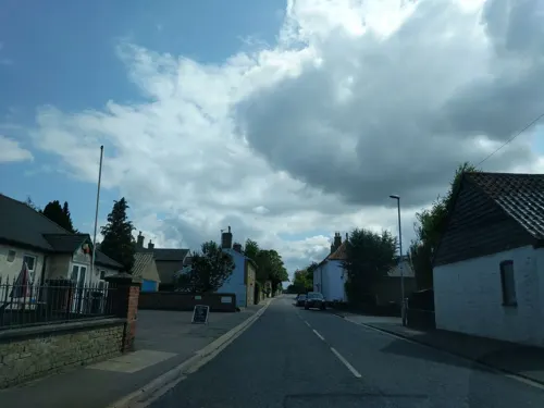
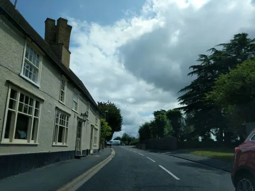
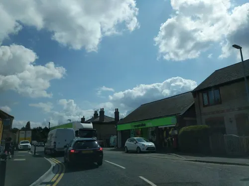
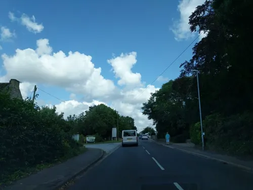
Fordham is a village in rural Cambridgeshire, England. Fordham is part of the East Cambridgeshire district. It is four miles north of Newmarket, as well as being close to the settlements of Soham, Burwell, Isleham, Mildenhall and Chippenham.
From the Wikipedia article Fordham, Cambridgeshire (this version), under CC BY-SA 4.0.
Museums and landmarks2


Parks, trails and playgrounds6



Restaurants and cafes6


Churches and places of worship4
Isleham Priory Church
Church · 2.3 mi
Church in East Cambridgeshire, England, UK

History
The parish of Fordham covers 4,331 acres (1,753 ha) in an irregular shape. Its southern border is the county border with Suffolk and most of its south-eastern border with Snailwell follows the path of the River Snail. It also borders Chippenham and Isleham to the east, Soham to the north, and Burwell to the west, as well as having a short boundary with Wicken at its western tip. In 1953 the civil parish was merged with that of Landwade, a tiny parish of only 147 acres (59 ha), although Landwade and its ecclesiastical parish are both in Suffolk.
The parish has been occupied for several thousand years; weapons and tools in both flint and metal have been found from the Early Bronze Age and Iron Age, as well as pottery and burials. Wall plaster and tiles have been found from the Roman era, indicating that villas may have been sited near to Biggin and Block Farms in the 2nd to 4th centuries A.D.
In the Middle Ages the village was home to Fordham Priory, a Gilbertine priory and cell to Sempringham Priory, that was founded in the reign of Henry III in the 13th century by Robert de Fordham. Fordham Abbey, a Grade II listed Georgian manor house was built on the site of the Priory in the eighteenth century.
Read more of the history
Fordham had a railway station serving as a junction the Cambridge to Mildenhall railway and the Ipswich to Ely line that opened to the west of the village in 1879. The station finally closed in 1966.
Though spelled Fordeham in the Domesday Book of 1086, the village's spelling has remained unchanged since the 10th century. The name "Fordham" means "homestead or enclosure by a ford".
Fordham War Memorial commemorates the village's dead from the two world wars. It was designed by Sir Edwin Lutyens and originally featured a bronze statue of St George by Sir George Frampton. The memorial was destroyed and the bronze stolen in 1991 and the community raised funds to rebuild it and replace the bronze with a fibreglass replica. It is a Grade II listed building.
From the History section of Fordham, Cambridgeshire on Wikipedia, under CC BY-SA 4.0.
Shopping1
Gas and EV charging2
Schools, colleges and libraries1
Map of Fordham
22 places. The map loads OpenStreetMap tiles when you open it.
Getting there and nearby towns
RAF Mildenhall (MHZ) is the nearest airport with scheduled flights listed in OpenStreetMap, 6 miles away.
- Isleham 2 mi northeast, about 4 min by car
- Exning 3 mi south, about 5 min by car
- Newmarket 5 mi south, about 7 min by car
- Mildenhall 6 mi northeast, about 9 min by car
- Ely 8 mi northwest, about 13 min by car
- Stretham 8 mi west, about 12 min by car
- Bottisham 8 mi southwest, about 13 min by car
- Witchford 9 mi northwest, about 15 min by car
- Wilburton 9 mi west, about 15 min by car
- Haddenham 11 mi west, about 17 min by car
Drive times are estimates from straight-line distance, not routes.
Towns near Fordham


Keep exploring
Local news
Headlines from INDB.
Reviews, tips and questions
Loading what members have shared...
Sources and licences
- GeoNames (CC BY 4.0): population, coordinates, regions and time zone
- Mapillary (see each image): photos
- OpenStreetMap contributors (ODbL 1.0): places, airports, map data
- Wikidata (CC0 1.0): elevation, founding date, time zone, website, landmarks and historic places
- Wikimedia Commons (see each image): photos
- Wikipedia (CC BY-SA 4.0): overview and history text
Photo credits
- UK Fordham (Cambridgeshire), Uksignpix, CC BY-SA 3.0
- Fordham Cambs War Memorial2, Charles Matthews, CC BY-SA 4.0
- Fordham Cambs War Memorial3, Charles Matthews, CC BY-SA 4.0
- Isleham Nature Reserve 4, Dudley Miles, CC BY-SA 4.0
- Street-level photo, adam2, CC BY-SA 4.0
- Street-level photo, adam2, CC BY-SA 4.0
- Street-level photo, adam2, CC BY-SA 4.0
- Street-level photo, adam2, CC BY-SA 4.0
- Street-level photo, adam2, CC BY-SA 4.0
- Street-level photo, adam2, CC BY-SA 4.0
- Street-level photo, adam2, CC BY-SA 4.0
- Street-level photo, adam2, CC BY-SA 4.0
- Street-level photo, adam2, CC BY-SA 4.0
- Street-level photo, adam2, CC BY-SA 4.0
Page built November 10, 2026. Spotted a mistake? Tell us or suggest a place.