


Foulridge, United Kingdom
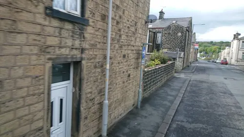
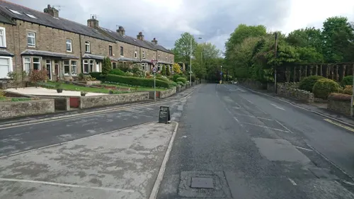
Foulridge is a town of 1,159 people in England, United Kingdom.
Why visit Foulridge
Townapedia lists 4 museums and landmarks, 4 parks and trails, 41 places to eat and 3 attractions in and around town.
Highlights include Pendle Hippodrome, The Muni, Castercliff and Pendle Heritage Centre.
Weather in Foulridge
Forecast from MET Norway (CC BY 4.0). Full forecast
About Foulridge
Foulridge (pronounced FOHL-rij) is a village and civil parish in Pendle, Lancashire, close to the border with North Yorkshire in England. It is situated just beyond Colne, on the route from the M65 to Skipton, and is an important stopping point on summit pound of the Leeds and Liverpool Canal, just before it enters the Foulridge Tunnel. Noyna Hill, a well known local landmark, sits 1 mile (1.6 km) east of the village.
From the Wikipedia article Foulridge (this version), under CC BY-SA 4.0.
Things to do3
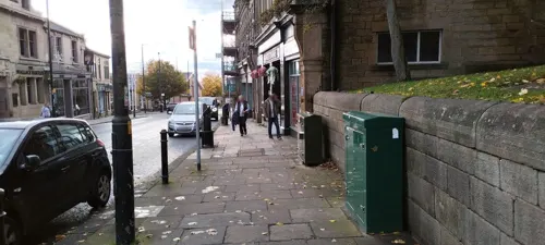
Pendle Hippodrome
Cinema and theater · 1.3 mi
New Market Street, Colne
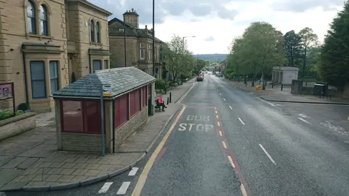

Pendle Hippodrome Theatre
Cinema and theater · 1.2 mi
Theatre and former cinema in Colne, England
Museums and landmarks4

Castercliff
Monument and historic site · 2.4 mi
Hillfort in Lancashire, England, UK

Pendle Heritage Centre
Museum · 2.3 mi
Museum and art gallery in Lancashire, England, United Kingdom


Bancroft Shed
Museum · 2.6 mi
Mill museum in Barnoldswick, Pendle, Lancashire, England, UK
Parks, trails and playgrounds4



Restaurants and cafes41
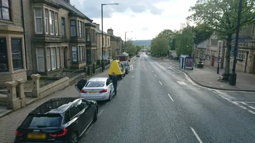
Carlo's
Restaurant · Italian · 1.4 mi
60A Albert Road, Colne
Mo off; Tu-Th 17:00-21:30; Fr-Sa 17:00-22:30; Su 15:00-21:00
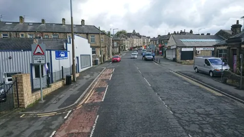
Teas To Please
Cafe · Tea, Cake, Panini, Sandwich, Salad · 1.2 mi
27 Skipton Road, Colne
We-Fr 10:00-17:00, Sa 10:00-15:00
The Wallace Hartley
Bar and pub · 1.3 mi
35-37 Church Street, Colne
Mo,Tu,We,Th,Su 08:00-24:00; Fr,Sa 08:00-25:00
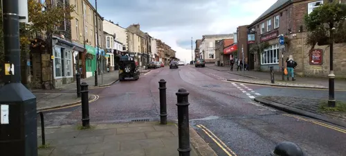
About Coffee Ltd
Cafe · Coffee Shop · 1.3 mi
26 Church Street, Colne
Mo-Fr 08:00-17:00, Sa 09:00-16:00
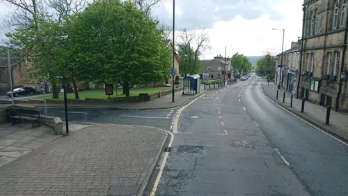
Boyce's Barrel
Bar and pub · 1.3 mi
7 New Market Street, Colne
Su, Tu-Fr 16:00-21:00; Sa 13:00-21:00
Mojo's
Bar and pub · 1.3 mi
9 New Market Street, Colne
Tu-We 16:00-21:00; Th 16:00-23:00; Fr 14:00-00:00; Sa 13:00-00:00;...
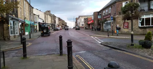
Olives Bistro & Mediterranean
Restaurant · Mediterranean · 1.3 mi
14 Church Street, Colne
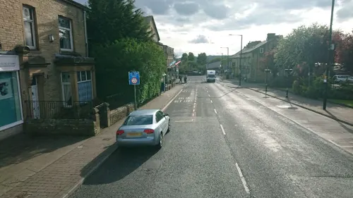
The Venue, Colne
Bar and pub · 1.5 mi
105 Albert Road, Colne
Su-Th 12:00-24:00; Fr,Sa 12:00-01:00

The Pavilion Cafe
Cafe · 1.2 mi
Alkincoats Road, Colne
Mo-Su 09:30-15:00

29 more on the map.
Notable people from Foulridge
- Joan WilkinsonEnglish cricketer (1919-2002)
- Tom StoreyEnglish footballer (born 1914)
Born in Foulridge, according to Wikidata (CC0). Each name links to its Wikipedia article.
Churches and places of worship7
Shopping9
Gas and EV charging2
Schools, colleges and libraries9
Colne Christ Church Church of England Voluntary Aided Primary School
School · Anglican · 1.5 mi
Bent Lane, Colne
Foulridge Saint Michael and All Angels CofE Voluntary Aided Primary School
School · Anglican
Skipton Road, Colne
Healthcare2
Map of Foulridge
81 places. The map loads OpenStreetMap tiles when you open it.
Getting there and nearby towns
Leeds Bradford Airport (LBA) is the nearest airport with scheduled flights listed in OpenStreetMap, 21 miles away.
- Colne 1 mi south, about 2 min by car
- Barnoldswick 3 mi north, about 5 min by car
- Nelson 3 mi southwest, about 5 min by car
- Brierfield 4 mi southwest, about 7 min by car
- Burnley 6 mi southwest, about 9 min by car
- Sabden 7 mi southwest, about 12 min by car
- Cross Hills 8 mi east, about 13 min by car
- Padiham 8 mi southwest, about 13 min by car
- Gargrave 8 mi north, about 13 min by car
- Skipton 9 mi northeast, about 14 min by car
Drive times are estimates from straight-line distance, not routes.
Towns near Foulridge


Keep exploring
Local news
Headlines from INDB.
Reviews, tips and questions
Loading what members have shared...
Sources and licences
- GeoNames (CC BY 4.0): population, coordinates, regions and time zone
- Mapillary (see each image): photos
- OpenStreetMap contributors (ODbL 1.0): places, airports, map data
- Wikidata (CC0 1.0): elevation, founding date, time zone, website, landmarks and historic places
- Wikimedia Commons (see each image): photos
- Wikipedia (CC BY-SA 4.0): overview and history text
Photo credits
- St Bartholomew's Church, Colne, Dr Neil Clifton, CC BY-SA 2.0
- St Michael and All Angels, Foulridge, Tim Green, CC BY 2.0
- Castercliff hillfort 02, Trappedinburnley, CC BY-SA 4.0
- At Pendle Heritage Centre - panoramio, Immanuel Giel, CC BY 3.0
- Memorial to Wallace Hartley 2 (5919183979), Tim Green from Bradford, CC BY 2.0
- Street-level photo, trigpoint, CC BY-SA 4.0
- Street-level photo, skifans, CC BY-SA 4.0
- Street-level photo, skifans, CC BY-SA 4.0
- Street-level photo, tonys999, CC BY-SA 4.0
- Street-level photo, trigpoint, CC BY-SA 4.0
- Street-level photo, tonys999, CC BY-SA 4.0
- Street-level photo, skifans, CC BY-SA 4.0
- Street-level photo, trigpoint, CC BY-SA 4.0
- Street-level photo, trigpoint, CC BY-SA 4.0
- Street-level photo, tonys999, CC BY-SA 4.0
- Street-level photo, skifans, CC BY-SA 4.0
- Street-level photo, skifans, CC BY-SA 4.0
- Street-level photo, skifans, CC BY-SA 4.0
- Street-level photo, trigpoint, CC BY-SA 4.0
- Street-level photo, skifans, CC BY-SA 4.0
- Street-level photo, skifans, CC BY-SA 4.0
- Street-level photo, trigpoint, CC BY-SA 4.0
- Street-level photo, skifans, CC BY-SA 4.0
- Street-level photo, skifans, CC BY-SA 4.0
- Street-level photo, skifans, CC BY-SA 4.0
- Street-level photo, skifans, CC BY-SA 4.0
Page built November 10, 2026. Spotted a mistake? Tell us or suggest a place.