


Great Bentley, United Kingdom
Great Bentley is a town of 1,545 people in England, United Kingdom.
Why visit Great Bentley
Townapedia lists 3 parks and trails and 6 places to eat in and around town.
Highlights include Howlands Marsh and Weeleyhall Wood.
Weather in Great Bentley
Forecast from MET Norway (CC BY 4.0). Full forecast
About Great Bentley
Great Bentley is a village and civil parish in the Tendring district of north east Essex, England, located seven miles east of Colchester. The village is scattered round an extensive level or common, of 43 acres (17 ha), on the eastern side of the vale of a rivulet, seven miles (11 km) east-south-east of Colchester. This common is the second largest village green in the United Kingdom, at a size of 43 acres (17 ha), behind Duncan Down, and has won 'Essex Village of the Year' and 'Daily Telegraph/Calor Gas Village of the Year' awards.
From the Wikipedia article Great Bentley (this version), under CC BY-SA 4.0.
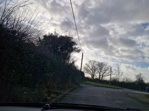
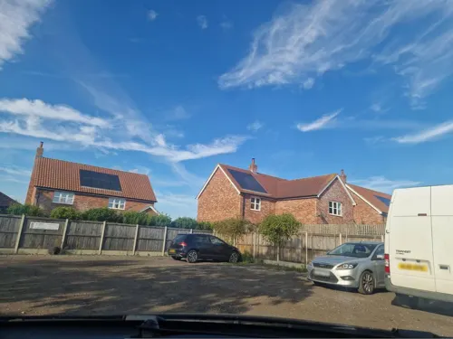
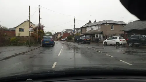
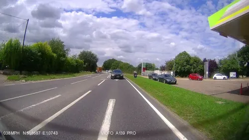
Photos of Great Bentley


Parks, trails and playgrounds3

Weeleyhall Wood
Park · 3.0 mi
Site of Special Scientific Interest in Essex, England

Restaurants and cafes6

Churches and places of worship3

Shopping1

History
The village is mentioned as far back as the Domesday Book of 1086, and at that time it was situated amongst large wooded areas. The clearing of these woods began in 1135. In its early days, the village was known as Benetlea, then as Much Bentley, and later as Great Bentley. The first part of the name, "Bent," is thought to refer to a type of grass, and the latter part, "lea," probably derives from the word "ley," meaning land sown with grass, which suggests a direct reference to the green. Great Bentley had a port at Flag Creek, which was used for importing and exporting goods.
In 1557, four Protestant "heretics" from the village, including a young woman named Rose Allen, were arrested, and three were burned at the stake at Colchester Castle (the fourth died in prison). They are commemorated on a small monument alongside the Green. Their story appears in the famous Foxe's Book of Martyrs. Foxe calls the village "Much Bentley".
Queen Elizabeth I once visited Lord Darcy's residence, St Osyth Priory. It is believed she may have arrived at Harwich accompanied by her courtiers and rode via Horsley Cross, Little Bentley, then on to Great Bentley Green before finishing her journey to St Osyth. Great Bentley owes much of its growth to the coming of the railway in 1866, with the railway station being named Bentley Green before being changed to its present title of Great Bentley in 1877.
Read more of the history
Two new housing estates were built in the 1960s on either side of the Village Green. This was followed by the development of a trading estate near the railway station, now known as the Plough Road Business Centre. At that time, the village boasted five public houses, a post office, a garage, several small retail shops and businesses, a school and a doctor's surgery. All of these amenities remain to this day, except for the post office and three of the public houses. Also in the 1960s, Great Bentley Parish Council, on behalf of the village, purchased the manorial rights of the 42.5 acres (17.2 ha) of Common Land. A significant portion of the purchase price was raised through voluntary donations from residents and fundraising events. The land was then registered as a village green to protect the Green for the future from encroachment and erosion. The Village Green and its surrounding properties are designated as a Conservation Area. The Parish Council, through the Common Land and Village Green Acts, ensures the protection of the Village Green.
From the History section of Great Bentley on Wikipedia, under CC BY-SA 4.0.
Notable people from Great Bentley
 Steve Bassam, Baron Bassam of BrightonBritish politician and activist (born 1953)Photo: Chris McAndrew, CC BY 3.0
- John Sydenham FurnivallBritish scholar (1878–1960)
- Matthew Marvin, Sr.Connecticut settler
- Matthew Marvin, Jr.Connecticut settler
Born in Great Bentley, according to Wikidata (CC0). Each name links to its Wikipedia article.
Gas and EV charging1
Little Bentley Filling Station
Gas station · 1.1 mi
Colchester Road, Little Bentley
Schools, colleges and libraries1
Healthcare1
Map of Great Bentley
16 places. The map loads OpenStreetMap tiles when you open it.
Getting there and nearby towns
London Southend Airport (SEN) is the nearest airport with scheduled flights listed in OpenStreetMap, 25 miles away.
- Thorpe le Soken 4 mi east, about 7 min by car
- Rowhedge 5 mi west, about 8 min by car
- Clacton-on-Sea 6 mi southeast, about 9 min by car
- Mistley 6 mi north, about 10 min by car
- Colchester 7 mi west, about 12 min by car
- Frinton-on-Sea 8 mi east, about 13 min by car
- Dedham 8 mi north, about 13 min by car
- Walton-on-the-Naze 9 mi east, about 14 min by car
- Layer de la Haye 9 mi west, about 14 min by car
- Harwich 11 mi northeast, about 18 min by car
Drive times are estimates from straight-line distance, not routes.
Towns near Great Bentley


Keep exploring
Local news
Headlines from INDB.
Reviews, tips and questions
Loading what members have shared...
Sources and licences
- GeoNames (CC BY 4.0): population, coordinates, regions and time zone
- Mapillary (see each image): photos
- OpenStreetMap contributors (ODbL 1.0): places, airports, map data
- Wikidata (CC0 1.0): elevation, founding date, time zone, website, landmarks and historic places
- Wikimedia Commons (see each image): photos
- Wikipedia (CC BY-SA 4.0): overview and history text
Photo credits
- Great Bentley 334, Roger W Haworth ( talk · contribs ), CC BY-SA 3.0
- Great Bentley 342, Roger W Haworth ( talk · contribs ), CC BY-SA 3.0
- 66 718 Gwyneth Dunwoody crossing Great Bentley LC, kitmasterbloke, CC BY 2.0
- 66 718 Gwyneth Dunwoody approaches Great Bentley, kitmasterbloke, CC BY 2.0
- 66 709 "Joseph Arnold Davies" at Great Bentley, kitmasterbloke, CC BY 2.0
- 2 At Great Bentley, Essex - some corrosion, kitmasterbloke, CC BY 2.0
- Great Bentley with postbox, kitmasterbloke, CC BY 2.0
- Gwyneth Dunwoody 66 718, kitmasterbloke, CC BY 2.0
- Vehicles of the United Kingdom 278 (edited), Steven's Transport Photos (with cropping, alignment, and exposure adjustments by XAM2175 ), CC BY 2.0
- Street-level photo, edloach, CC BY-SA 4.0
- Street-level photo, edloach, CC BY-SA 4.0
- Street-level photo, edloach, CC BY-SA 4.0
- Street-level photo, edloach, CC BY-SA 4.0
- Street-level photo, edloach, CC BY-SA 4.0
- Street-level photo, edloach, CC BY-SA 4.0
- Street-level photo, IpswichEdits, CC BY-SA 4.0
Page built November 10, 2026. Spotted a mistake? Tell us or suggest a place.