


Layer de la Haye, United Kingdom
Layer de la Haye is a town of 1,656 people in England, United Kingdom.
Why visit Layer de la Haye
Townapedia lists 6 museums and landmarks, 7 parks and trails, 2 places to eat and 4 attractions in and around town.
Highlights include Colchester Zoo, Mercury Theatre, Layer Marney Tower and Lexden Gathering Grounds.
Weather in Layer de la Haye
Forecast from MET Norway (CC BY 4.0). Full forecast
About Layer de la Haye
Layer de la Haye, sometimes hyphenated as Layer-de-la-Haye, is a village and civil parish in the City of Colchester district of Essex, England. It is the largest and easternmost of the three neighbouring parishes called Layer, the others being Layer Breton and Layer Marney. At the 2021 census, the parish had a population of 1,767.
From the Wikipedia article Layer de la Haye (this version), under CC BY-SA 4.0.
Photos of Layer de la Haye

Things to do4

Colchester Zoo
Zoo and aquarium · 1.5 mi
Zoological garden situated in Colchester, England
Mo-Su 09:30-16:00

Mercury Theatre
Cinema and theater · 3.4 mi
Theatre in Colchester, England
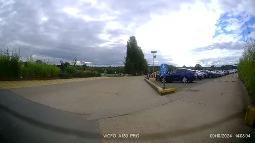

The Playhouse
Cinema and theater · 3.3 mi
Former theatre and cinema in Colchester, Essex, originally a garrison theatre, now a pub
Museums and landmarks6

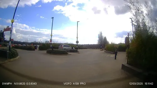
Layer Marney Tower
Museum · 3.0 mi
Grade I listed country house in Layer Marney, Essex, England, UK


Parks, trails and playgrounds7

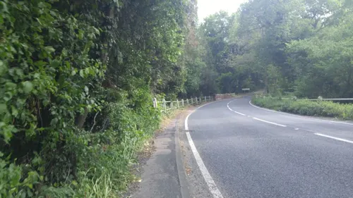
Lexden Gathering Grounds
Park · 3.2 mi
Essex Wildlife Trust Nature reserve




Restaurants and cafes2

History
The village is thought to have been founded in Saxon times, with its original name, Legra, meaning 'lookout'. Its elevation made it an ideal vantage point for the Saxons against raiding parties from the coast. Later its name changed to Leire or Leger, meaning 'mud'. A Norse word, this is likely to have referred to the soil and marshland around the village. During the time of the Norman Conquests, the village was "owned" by the de la Hayes, and its name thus changed to Layer de la Haye. Layer was ravaged by the Black Death of the 14th Century. The Church became derelict until it was restored by monks.
In 1289, John de Rye donated 160 acres (65 ha) of land to St John's Abbey in Colchester. As a token of appreciation, a manor and farm were named after him (Rye Manor and Rye Farm respectively). At the end of the 15th century, the Abbey built a toll-gate house, now called the Greate House (originally the Gate House) near Malting Green.
At the time of the dissolution of the Monasteries which began in 1536, Sir Thomas Audley, who in turn became speaker of the House of Commons and Lord Chancellor, appropriated the manors of Rye and Blind Knights, together with the Mill and the patronage of the benefice. Layer Mill is mentioned in the Domesday Book as a water-mill. The mill wheel was powered by water from the Roman River.
Read more of the history
Within the churchyard of St John the Baptist lie the graves of Arthur Cecil Alport (a South African physician who first identified the Alport syndrome in a British family in 1927), Cuthbert Alport (a Conservative Party politician, minister and life peer) and General Sir Ivo Vesey (a British Army officer who served as Chief of the General Staff in India from 1937 to 1939).
Layer de la Haye is among the villages which suffered damage from the 1884 Colchester earthquake.
From the History section of Layer de la Haye on Wikipedia, under CC BY-SA 4.0.
Churches and places of worship7
Shopping1
Schools, colleges and libraries2
Layer-de-la-Haye Church of England Voluntary Controlled Primary School
School · Anglican
High Road, Layer-de-la-Haye
Map of Layer de la Haye
29 places. The map loads OpenStreetMap tiles when you open it.
Getting there and nearby towns
London Southend Airport (SEN) is the nearest airport with scheduled flights listed in OpenStreetMap, 21 miles away.
- Colchester 4 mi northeast, about 6 min by car
- Rowhedge 4 mi east, about 6 min by car
- Tolleshunt Knights 5 mi southwest, about 8 min by car
- Boxted 7 mi north, about 12 min by car
- Witham 10 mi west, about 16 min by car
- Dedham 10 mi northeast, about 16 min by car
- Maldon 11 mi southwest, about 18 min by car
- Halstead 12 mi northwest, about 19 min by car
- Braintree 13 mi west, about 21 min by car
- Clacton-on-Sea 13 mi east, about 21 min by car
Drive times are estimates from straight-line distance, not routes.
Towns near Layer de la Haye


Keep exploring
Local news
Headlines from INDB.
Reviews, tips and questions
Loading what members have shared...
Sources and licences
- GeoNames (CC BY 4.0): population, coordinates, regions and time zone
- Mapillary (see each image): photos
- OpenStreetMap contributors (ODbL 1.0): places, airports, map data
- Wikidata (CC0 1.0): elevation, founding date, time zone, website, landmarks and historic places
- Wikimedia Commons (see each image): photos
- Wikipedia (CC BY-SA 4.0): overview and history text
Photo credits
- Layer Marney gatehouse 03, Poliphilo, CC0
- Lexden Gathering Grounds 7, Dudley Miles, CC BY-SA 4.0
- Lexden Park 9, Dudley Miles, CC BY-SA 4.0
- Spring Lane Meadows 7, Dudley Miles, CC BY-SA 4.0
- St Leonard's Church, Lexden 02, Alansplodge, CC BY-SA 4.0
- Colchester New Church - Olaf 044, Olaf Hauptmann, Public domain
- Malting Green House, Maria, CC BY-SA 3.0
- Female greater kudus, Colchester Zoo DSC 4929 raw (3358805226), pyntofmyld, CC BY 2.0
- Mercury theatre Building Exterior - Photo by Mercury Theatre, MercuryTheatre, CC BY 4.0
- Amur Tiger (23056896472), Ronnie Macdonald from Chelmsford, United Kingdom, CC BY 2.0
- Street-level photo, petermead, CC BY-SA 4.0
- Street-level photo, petermead, CC BY-SA 4.0
- Street-level photo, edloach, CC BY-SA 4.0
- Street-level photo, IpswichEdits, CC BY-SA 4.0
- Street-level photo, IpswichEdits, CC BY-SA 4.0
Page built November 10, 2026. Spotted a mistake? Tell us or suggest a place.