


Why visit Gunness
Townapedia lists 1 museum or landmark, 5 parks and trails, 13 places to eat, 1 place to stay and 3 attractions in and around town.
Highlights include Baths Hall, Keadby Bridge, North Lincolnshire Museum and Glanford Park.
Weather in Gunness
Forecast from MET Norway (CC BY 4.0). Full forecast
About Gunness
Gunness (or Gunhouse) is a village and civil parish in North Lincolnshire, England, on the east bank of the River Trent, 3 miles (5 km) west of Scunthorpe. The population of the civil parish at the 2011 census was 2,462.
From the Wikipedia article Gunness (this version), under CC BY-SA 4.0.
Things to do3

Baths Hall
Cinema and theater · 2.8 mi
Theatre and arts centre in Scunthorpe, England, originally public swimming baths

Keadby Bridge
Bridge · 0.4 mi
Grade II listed bascule bridge in Gunness, and Keadby with Althorpe, North Lincolnshire, Lincolnshire, England, UK

Plowright Theatre
Cinema and theater · 3.2 mi
Live entertainment venue on Laneham Street in Scunthorpe, North Lincolnshire
Museums and landmarks1

North Lincolnshire Museum
Museum · 3.0 mi
Local museum in Scunthorpe, England, United Kingdom
Parks, trails and playgrounds5

Glanford Park
Sports field and stadium · 1.4 mi
Jack Brownsword Way, Scunthorpe

Atkinsons Warren
Park · 2.6 mi
Nature reserve in Lincolnshire, England
Central Park
Park · 2.5 mi
Park in Scunthorpe, North Lincolnshire, England
Restaurants and cafes13
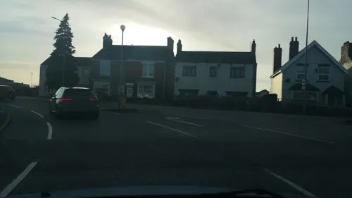
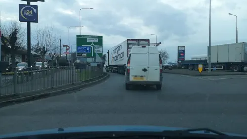
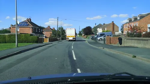




1 more on the map.
History
a township and small village ... deriving its name from forming a ness or promontory in the River Trent. It has a station, for goods only, about half a mile distant on the South Yorkshire branch of the London and North Eastern railway, and is three-quarters of a mile from Althorpe station and 3½ miles west from Scunthorpe on the same railway, 18 miles north from Gainsborough and 175 from London.
It was formerly a chapelry in the parish of West Halton, but together with Burringham was formed into an ecclesiastical parish 15 Oct. 1861, from the ecclesiastical parishes of Bottesford, Frodingham and Crosby, and is in the Brigg division of the county, parts of Lindsey, north division of Manley wapentake, rural district of Glanford Brigg, county court district of Brigg, petty sessional division of Scunthorpe, rural deanery of Manlake, archdeaconry of Stow and diocese of Lincoln.
The King George V Bridge, opened for railway and highway traffic 21 May 1916, crosses the Trent from Althorpe station to Gunness; it is a steel structure built by Sir William Arrol and Co. Ltd. and has a lifting span weighing 3,600 tons and 165 feet long, operated by two electric motors of 115 h.p. each: the estimated cost was £750,000.
Read more of the history
The church of St Barnabas is a small and plain edifice of brick in cement, in the Pointed style, consisting of chancel, nave, south porch and a belfry containing one bell: it was restored in 1902 and affords 60 sittings. The register dates from the year 1851. The living is a rectory, with Burringham annexed, joint net yearly value £540, with residence, built in 1866, in the gift of the Bishop of London, and held since 1931 by the Rev. William Hubert Britton M.A. of Selwyn College, Cambridge. The Methodist chapel here was built in 1928, and another, in Gunhouse lane, in 1883.
Here is a wharf and jetty for the shipment of iron ore, which is brought by rail from Frodingham, and at Neap is a staithe, or landing place, on the river Trent, for farm produce. Henry Wall esq. who is lord of the manor, and John Housham esq. are the principal landowners, but there are many small owners. The soil is alluvial; subsoil, warp. The chief crops are wheat, clover, oats and potatoes.
The area of the ecclesiastical parish is 2,808 acres, of the township 491 acres of land, 62 of tidal water and 18 of foreshore; the population in 1921 was 102 in the township and in the ecclesiastical parish of Gunness-cum-Burringham, 1,077 (which includes parts of Brumby (Rural) and Flixborough civil parishes).
From the History section of Gunness on Wikipedia, under CC BY-SA 4.0.
Where to stay1
Churches and places of worship3
Shopping4
Gas and EV charging1
Schools, colleges and libraries2
Gunness and Burringham Church of England Primary School
School · Anglican · 0.4 mi
Burringham Road, Scunthorpe
Map of Gunness
33 places. The map loads OpenStreetMap tiles when you open it.
Getting there and nearby towns
Humberside Airport (HUY) is the nearest airport with scheduled flights listed in OpenStreetMap, 16 miles away.
- Keadby 1 mi west, about 1 min by car
- Scunthorpe 3 mi east, about 5 min by car
- Scawby 9 mi southeast, about 14 min by car
- Winteringham 9 mi northeast, about 14 min by car
- Thorne 10 mi west, about 16 min by car
- Goole 10 mi northwest, about 16 min by car
- Brough 11 mi northeast, about 18 min by car
- Barton upon Humber 13 mi northeast, about 22 min by car
- Armthorpe 14 mi west, about 22 min by car
- Gainsborough 14 mi south, about 23 min by car
Drive times are estimates from straight-line distance, not routes.
Towns near Gunness


Keep exploring
Local news
Headlines from INDB.
Reviews, tips and questions
Loading what members have shared...
Sources and licences
- GeoNames (CC BY 4.0): population, coordinates, regions and time zone
- Mapillary (see each image): photos
- OpenStreetMap contributors (ODbL 1.0): places, airports, map data
- Wikidata (CC0 1.0): elevation, founding date, time zone, website, landmarks and historic places
- Wikimedia Commons (see each image): photos
- Wikipedia (CC BY-SA 4.0): overview and history text
Photo credits
- Side View of The Front Entrance of The Baths Hall, Bathshall, CC BY-SA 3.0
- Keadby Bridge, The original uploader was Asterion at English Wikipedia ., CC BY-SA 2.5
- Outside View of the Plowright Theatre, Scunthorpe, Bathshall, CC BY-SA 3.0
- Glanford Park NW Exterior, Central Line, CC BY-SA 4.0
- North Lincolnshire Museum-by-fred-roberts, fred roberts, CC BY-SA 2.0
- Street-level photo, cuttlebug, CC BY-SA 4.0
- Street-level photo, cuttlebug, CC BY-SA 4.0
- Street-level photo, albertdougie15, CC BY-SA 4.0
- Street-level photo, cuttlebug, CC BY-SA 4.0
- Street-level photo, cuttlebug, CC BY-SA 4.0
- Street-level photo, cuttlebug, CC BY-SA 4.0
- Street-level photo, cuttlebug, CC BY-SA 4.0
- Street-level photo, cuttlebug, CC BY-SA 4.0
- Street-level photo, cuttlebug, CC BY-SA 4.0
Page built November 10, 2026. Spotted a mistake? Tell us or suggest a place.