


Why visit Thorne
Townapedia lists 1 museum or landmark, 7 parks and trails, 14 places to eat and 4 places to stay in and around town.
Highlights include Peel Hill Motte and Bailey Castle, Kingswood Golf Centre and Thorne and Hatfield Moors.
Weather in Thorne
Forecast from MET Norway (CC BY 4.0). Full forecast
About Thorne
Thorne is a market town and civil parish in the City of Doncaster in South Yorkshire, England. It was historically part of the West Riding of Yorkshire until 1974. It has a population of 16,592, increasing to 17,295 at the 2011 Census.
From the Wikipedia article Thorne, South Yorkshire (this version), under CC BY-SA 4.0.
Museums and landmarks1

Parks, trails and playgrounds7

Kingswood Golf Centre
Golf course · 1.2 mi
18 hole Par 71
Thorne Road, Doncaster
Mo-Fr 07:30-21:00; Sa-Su 06:30-20:30

Thorne and Hatfield Moors
Park · 2.5 mi
Lowland raised peat bog in the UK


Restaurants and cafes14
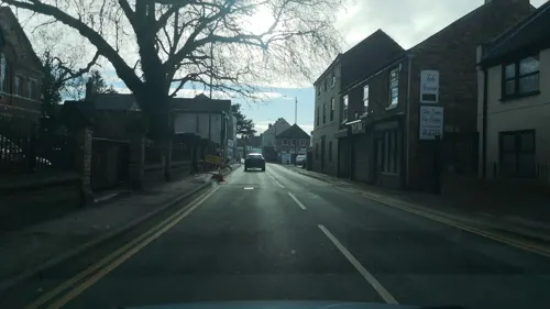
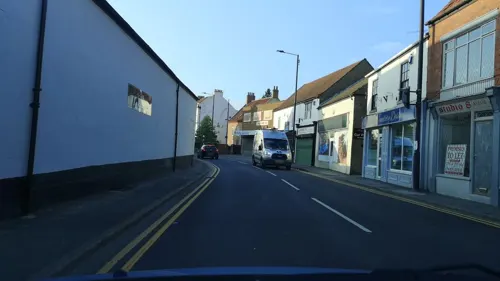
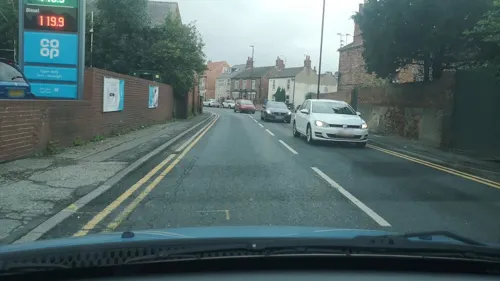



2 more on the map.
Where to stay4

History
The land which is now Thorne was once inhabited by Neolithic, Bronze Age and Iron Age people. It became a permanent settlement around AD 700, and is mentioned in the Domesday Book. The main industries in the town have traditionally been coal mining and farming.
From the History section of Thorne, South Yorkshire on Wikipedia, under CC BY-SA 4.0.
More about Thorne
Geography
Thorne lies east of the River Don, on the Stainforth and Keadby Canal, and is located at approximately 53°36′30″N 0°57′30″W, at an elevation of around 16 feet (5 metres) above sea level, on the Yorkshire side of the border with Lincolnshire. The civil parish of Thorne and Moorends includes the village of Moorends to the north, and the Thorne Waste (also known as Thorne Moors) section of the Thorne Moors collective of moorland to the north-east. A small part of the edge of Thorne Waste, named "the Yorkshire Triangle", currently falls under North Lincolnshire, by technicality splitting this suburb of the civil parish between South Yorkshire and Lincolnshire.
Arts and culture
Thorne Memorial Park is the location for the Thorne Memorial Park Miniature Railway and the annual Thorne Festival. During the summer months, free brass band concerts are held at the park's bandstand.
Thorne Community Wood is a community woodland created from agricultural land by Thorne-Moorends Town Council, and The Peatlands Way, a circuitous walk around the wildlife areas of Thorne and Hatfield Moors, passes to the north of the town.
For many decades in the twentieth century Thorne Colliery was a central focus of employment within the town, although its history was very troubled.
In recent years, employment opportunities have been increasing, most notably since the opening of Nimbus Park on the outskirts of the town, where The Range have operated a major distribution centre since 2012.
Education
In September 2005 a newly built school, Trinity Academy, opened in Thorne, specialising in Business and Enterprise. The £24 million state-of-the-art Academy has nine classes per year group, had an initial school population of 1250 children between the ages of 11 and 18, and is the third Christian Ethos school founded by Sir Peter Vardy. In 2004, 21% of students from Thorne and Moorends achieved five or more passes at grade C or above. Trinity was named as England's most improved academy in 2007, for which they were presented with an award by Sir Bruce Liddington, the Schools Commissioner in England and Wales, at a conference held in London run by the Specialist Schools and Academies Trust.
The academy replaced Thorne Grammar School, whose notable alumni were the opera singer Lesley Garrett; George Porter, a Nobel Prize-winning chemist; Charles Spencer, pianist; and Sir Graham Hall, former CEO of Yorkshire Electricity.
From the Wikipedia article Thorne, South Yorkshire, under CC BY-SA 4.0.
Notable people from Thorne
 Connor SwiftBritish cyclistPhoto: Cs-wolves, CC BY-SA 4.0
 Thomas CrapperBritish plumberPhoto: Unknown photographer, Public domain
 Victor SuttonBritish bicycle racer (1935-1999)Photo: Cosway2509, CC BY-SA 4.0
 Paul SmithProfessional footballer (born 1954)Photo: Leo7671234, CC BY-SA 4.0
- Gillian CoultardEnglish footballer
- Lesley GarrettEnglish soprano singer, musician, broadcaster and media personality
- James BaxendaleEnglish footballer (born 1992)
- J. Spencer TriminghamIslamic scholar
- Donald HunterEnglish footballer (1927-2008)
- Ray Holtfootballer (born 1939)
- Samuel Hopkinsoncricketer (1825-1887)
- Leigh JenkinsonEnglish footballer (born 1969)
Born in Thorne, according to Wikidata (CC0). Each name links to its Wikipedia article.
Churches and places of worship4
Shopping5
Gas and EV charging2
Schools, colleges and libraries8
Healthcare3
Map of Thorne
48 places. The map loads OpenStreetMap tiles when you open it.
Getting there and nearby towns
Humberside Airport (HUY) is the nearest airport with scheduled flights listed in OpenStreetMap, 25 miles away.
- Doncaster 9 mi southwest, about 15 min by car
- Wath upon Dearne 17 mi southwest, about 28 min by car
- Wombwell 19 mi west, about 30 min by car
- Rotherham 20 mi southwest, about 33 min by car
- Wakefield 22 mi west, about 36 min by car
- York 24 mi north, about 39 min by car
- Sheffield 26 mi southwest, about 42 min by car
- Leeds 27 mi northwest, about 44 min by car
- Kingston upon Hull 27 mi east, about 44 min by car
- Chesterfield 31 mi southwest, about 50 min by car
Drive times are estimates from straight-line distance, not routes.
Towns near Thorne


Keep exploring
Local news
Headlines from INDB.
Reviews, tips and questions
Loading what members have shared...
Sources and licences
- GeoNames (CC BY 4.0): population, coordinates, regions and time zone
- Mapillary (see each image): photos
- OpenStreetMap contributors (ODbL 1.0): places, airports, map data
- Wikidata (CC0 1.0): elevation, founding date, time zone, website, landmarks and historic places
- Wikimedia Commons (see each image): photos
- Wikipedia (CC BY-SA 4.0): overview and history text
Photo credits
- Hatfield Church South Yorkshire, Warofdreams, CC BY-SA 4.0
- Thorne library (49106049602), JuliaC2006 from Rochester, UK, CC BY 2.0
- Street-level photo, cuttlebug, CC BY-SA 4.0
- Street-level photo, cuttlebug, CC BY-SA 4.0
- Street-level photo, cuttlebug, CC BY-SA 4.0
- Street-level photo, cuttlebug, CC BY-SA 4.0
- Street-level photo, cuttlebug, CC BY-SA 4.0
- Street-level photo, cuttlebug, CC BY-SA 4.0
- Street-level photo, cuttlebug, CC BY-SA 4.0
- Street-level photo, cuttlebug, CC BY-SA 4.0
- Street-level photo, cuttlebug, CC BY-SA 4.0
- Street-level photo, cuttlebug, CC BY-SA 4.0
Page built November 10, 2026. Spotted a mistake? Tell us or suggest a place.