


Hampton Wick, United Kingdom
Hampton Wick is a town of 10,221 people in England, United Kingdom.
Why visit Hampton Wick
Townapedia lists 30 museums and landmarks, 61 parks and trails, 301 places to eat, 10 places to stay and 12 attractions in and around town.
Highlights include Rose Theatre, Hampton Court Bridge, Strawberry Hill House and Kingston Museum.
Weather in Hampton Wick
Forecast from MET Norway (CC BY 4.0). Full forecast
About Hampton Wick
Hampton Wick is a Thamesside area of the London Borough of Richmond upon Thames, England, contiguous with Teddington, Kingston upon Thames and Bushy Park.
From the Wikipedia article Hampton Wick (this version), under CC BY-SA 4.0.
Photos of Hampton Wick


Things to do12


Hampton Court Bridge
Bridge · 1.6 mi
Bridge in London and Surrey, England

Kingston Bridge
Bridge · 0.7 mi
Road bridge at Kingston upon Thames in south west London, England, UK

Kingston Railway Bridge
Bridge · 0.5 mi
Arch bridge in Kingston upon Thames, London

Richmond Railway Bridge
Bridge · 2.8 mi
Grade II listed steel bridge in London Borough of Richmond upon Thames, United Kingdom
Rose Theatre, Kingston
Cinema and theater · 0.9 mi
Theatre in Kingston-upon-Thames, London, England

Teddington Lock Footbridges
Bridge · 0.8 mi
Two footbridges on the River Thames in London

The Exchange, Twickenham
Cinema and theater · 2.2 mi
Theatre and arts venue in the London Borough of Richmond upon Thames

The Karsino
Cinema and theater · 1.8 mi
Hotel and entertainment centre on Tagg's Island, Richmond, London

Museums and landmarks30

Strawberry Hill House
Monument and historic site · 1.5 mi
268 Waldegrave Road, Twickenham
Mo-Su 11:00-16:00; Th off; Fr off; Sa off


Clattern Bridge
Monument and historic site · 0.9 mi
Grade I listed bridge in Kingston upon Thames, London, England

Hampton Court Palace
Monument and historic site · 1.5 mi
Historic royal palace in Richmond, Greater London

Garrick's Temple to Shakespeare
Monument and historic site · 2.0 mi
Folly in Hampton, London

Ham House
Museum · 1.7 mi
Historic house museum in Ham, London Borough of Richmond upon Thames, England, UK

Orleans House Gallery
Museum · 1.9 mi
Building and art gallery in Twickenham, London Borough of Richmond upon Thames, England, United Kingdom


World Rugby Museum
Museum · 2.7 mi
Sports museum in Twickenham, United Kingdom

18 more on the map.
Parks, trails and playgrounds61


Crane Park Island
Park · 3.2 mi
Island in the London Borough of Richmond upon Thames, England, UK



Ham Lands
Park · 1.1 mi
Nature reserve in the London Borough of Richmond upon Thames, England, UK
Carlisle Park
Park · 2.2 mi
Park in London Borough of Richmond upon Thames, United Kingdom
Cranford Park
Park · 3.1 mi
Park in London Borough of Hillingdon, United Kingdom
Molesey Heath
Park · 3.2 mi
Local Nature Reserve in Molesey, Surrey, England, UK
49 more on the map.
Restaurants and cafes301
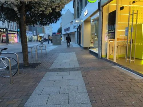
Starbucks
Cafe · Coffee Shop · 0.9 mi
91 Clarence Street, Kingston upon Thames
Mo-Sa 06:00-21:00; Su 06:30-21:00
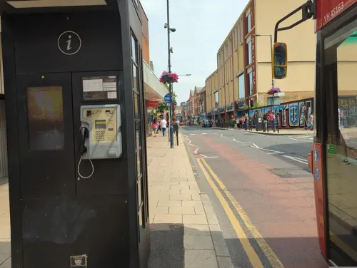
Caffè Nero
Cafe · Coffee Shop · 0.9 mi
13 Eden Walk, Kingston upon Thames
Mo-Fr 07:00-18:30; Sa 07:30-18:30; Su 08:30-18:00

The Druids Head
Bar and pub · 0.8 mi
3 Market Place, Kingston upon Thames
Mo-Th 11:00-23:00; Fr 11:00-01:00; Sa 10:00-01:00; Su 10:00-23:00
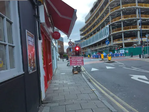
Fortunella Cafe
Cafe · Coffee Shop, Sandwich · 0.8 mi
8 Apple Market, Kingston upon Thames
Mo-Sa 07:00-17:00; Su 08:00-17:00
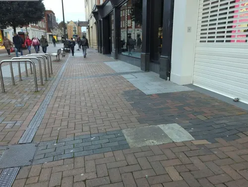
Franco Manca
Restaurant · Pizza · 0.8 mi
55 Clarence Street, Kingston upon Thames
Mo-Th 12:00-22:00; Fr-Sa 11:30-23:00; Su 11:30-22:00


Caffè Nero
Cafe · Coffee Shop · 1.1 mi
46 Broad Street, Teddington
Mo-Fr 07:00-18:00; Sa-Su 07:30-18:00
Charm
Restaurant · Thai · 0.8 mi
86 High Street, Teddington
Tu-Sa 12:00-14:30,18:00-23:00; Su 12:00-22:00
Comptoir Libanais
Restaurant · Lebanese · 0.7 mi
2A Kingston Riverside, Kingston upon Thames
Mo-Th 11:00-22:00; Fr-Sa 11:00-22:30; Su 11:00-20:00
Imperial China
Restaurant · Chinese · 1.5 mi
196-198 Stanley Road, Teddington
Mo-Th 12:00-15:00, 18:00-22:00; Fr-Sa 12:00-15:30, 18:00-23:00, Su...
289 more on the map.
History
There is evidence of Roman occupation. Kingston Bridge, the first bridge linking the village with Kingston upon Thames is dated from about 1219 and replaced the Roman ford at this point.
Cardinal Wolsey is believed to have lived in Hampton Wick (in Lower Teddington Road) while waiting for Hampton Court Palace to be built. The parish of Hampton was split in the century after this time to form Hampton Wick.
Sir Richard Steele also lived in Hampton Wick, in a house he whimsically called "The Hovel". He dedicated the fourth volume of Tatler to Charles, Lord Halifax "from the Hovel at Hampton Wick, April 7, 1711", around the time he became Surveyor of the Royal Stables at Hampton Court Palace, Governor of the King's Comedians, a justice of the peace and a knight.
The Hampton Wick Local Board was established in 1863 with headquarters at the "idiosyncratic, tall, Dutch gabled" Hampton Wick Local Board Office located at 45A High Street. It was built in 1884 by local architect Richard T. Elsam in an "exuberant" Jacobean style. The building presently serves as private housing.
Read more of the history
Reverend Frederick Champion de Crespigny was a vicar of Hampton Wick who was also involved in many secular affairs, most notably at the Local Board where he was clerk. An excellent cricketer, he founded and presided the Hampton Wick Royal Cricket Club in Bushy Park in 1863. De Crespigny resided at a now demolished Gothic Revival Vicarage formerly located on Park Road, directly across from the Hampton Wick entrance to Bushy Park at Cobbler's Walk.
The architect Edward Lapidge both designed and donated the land for a church, St John's Hampton Wick, built in 1831. Lapidge had been born in the village. He also designed the present Kingston Bridge. In 2010, after five years of closure, the church re-opened its doors under the Church of England's church planting scheme. Services were resumed in December 2010.
From the History section of Hampton Wick on Wikipedia, under CC BY-SA 4.0.
More about Hampton Wick
Economy
The main economic features here are transport. Kingston University has a large hall of residence in the town. Some professional offices are by Kingston Bridge and these include a major office of HSBC bank. The A308 splits the Royal Parks, leading nearby to the A309 and A312 roads, north–south. Equally, the A311 passes through the heart of the district forming its short, convenience High Street and provider further connections than another B road by the park to the larger commercial centre of Teddington, centred less than 1 mile (1.6 km) from Hampton Wick's railway station which is another economic hub of the area.
Hampton Wick railway station has connections to London Waterloo.
From the Wikipedia article Hampton Wick, under CC BY-SA 4.0.
Notable people from Hampton Wick
- Bertram AllenBritish Royal Navy officer
- Dick OfferBritish rower
- Duke HaywardBritish cinematographer
- Jack OfferBritish rower
- Richard Boxallprofessional golfer
- Richard CoombesJournalist and sports administrator (1858–1935)
Born in Hampton Wick, according to Wikidata (CC0). Each name links to its Wikipedia article.
Where to stay10
DoubleTree by Hilton Kingston Upon Thames
Motel and hotel · 0.6 mi
1 Skerne Road, Kingston upon Thames
Churches and places of worship75
Saint Mark's Parish Church of South Teddington and Hampton Wick
Church · Anglican
St. Mark's Road, Teddington
Teddington Baptist Church
Church · Baptist · 1.1 mi
Church Road, Teddington
Shopping63
Gas and EV charging5
Schools, colleges and libraries46
St Agatha's Catholic Primary School
School · Roman Catholic · 0.9 mi
St Agatha's Drive, Kingston upon Thames
St John the Baptist Church of England Junior School
School · Anglican
Lower Teddington Road, Kingston upon Thames
St Joseph's Catholic Primary School
School · Roman Catholic · 1.2 mi
Albert Road, Kingston upon Thames
St Mary's and St Peter's Church of England Primary School
School · Anglican · 1.2 mi
Somerset Road, Teddington
Healthcare23
Map of Hampton Wick
250 places. The map loads OpenStreetMap tiles when you open it.
Getting there and nearby towns
Heathrow Airport (LHR) is the nearest airport with scheduled flights listed in OpenStreetMap, 7 miles away.
- Kingston upon Thames 1 mi southeast, about 1 min by car
- Norbiton 1 mi southeast, about 2 min by car
- Hampton 2 mi west, about 4 min by car
- Richmond 3 mi north, about 5 min by car
- Hanworth 3 mi west, about 5 min by car
- Hook 4 mi south, about 6 min by car
- Isleworth 4 mi north, about 6 min by car
- Chessington 4 mi south, about 6 min by car
- Worcester Park 4 mi southeast, about 7 min by car
- Sunbury-on-Thames 5 mi west, about 7 min by car
Drive times are estimates from straight-line distance, not routes.
Towns near Hampton Wick


Keep exploring
Local news
Headlines from INDB.
Reviews, tips and questions
Loading what members have shared...
Sources and licences
- GeoNames (CC BY 4.0): population, coordinates, regions and time zone
- Mapillary (see each image): photos
- OpenStreetMap contributors (ODbL 1.0): places, airports, map data
- Wikidata (CC0 1.0): elevation, founding date, time zone, website, landmarks and historic places
- Wikimedia Commons (see each image): photos
- Wikipedia (CC BY-SA 4.0): overview and history text
Photo credits
- St Johns Hampton Wick, Stevekeiretsu, CC BY-SA 4.0
- Hampton Court Bridge 1, Unknown author, CC BY-SA 2.5
- Kingston Bridge2, Unknown author, Public domain
- Kingston Railway Bridge, Motmit at English Wikipedia ( Original text: Motmit ( talk ) ), CC BY-SA 3.0
- Richmond Railway Bridge 333r1, Patche99z, CC BY 3.0
- TeddBridge, Motmit, CC BY-SA 3.0
- The Exchange, Twickenham, Robert Smith, CC BY-SA 4.0
- The Karsino, Adam37, CC BY-SA 4.0
- Hampton Court Palace (3), Ricardalovesmonuments, CC BY-SA 4.0
- Garrick's Temple south view, Maxwell Hamilton, CC BY 2.0
- Ham House, London, Stevekeiretsu, CC BY-SA 4.0
- Orleans House Gallery, Matt Brown, CC BY 2.0
- Sport of Empire and the World Gallery, Algernon Rutter, CC BY-SA 4.0
- BushyParkAutumn, Ojw at English Wikipedia, CC BY-SA 3.0
- HamptonCourtParkTrees, Ojw, CC BY-SA 3.0
- River Crane in Crane Park 2, Dudley Miles, CC BY-SA 3.0
- Crane Park Island Nature Reserve, Twickenham, London. (3350016620), Jim Linwood from London, CC BY 2.0
- Elmbridge Meadows, Kingston, Dudley Miles, CC BY-SA 3.0
- Teddington Methodist Church, Robert Smith, CC BY-SA 4.0
- Ham Christian Centre, KenBailey, CC BY-SA 4.0
- All Hallows Parish Church in Twickenham, Maxwell Hamilton, CC BY 2.0
- The Rose Theatre, Kingston, London, Jim Linwood from London, CC BY 2.0
- Kingston, All Saints church, from the churchyard, AndyScott, CC BY-SA 4.0
- CornationStone KingstonUponThames, Jmonica, CC BY-SA 4.0
- Cassel Hospital, Ham Common, KenBailey, CC BY-SA 3.0
- Exterior of Kingston Museum, Zoopraxiscope, CC BY-SA 4.0
- The Lensbury, Teddington, Matt Brown, CC BY 2.0
- Strawberry Hill House from garden in 2012 after restoration, Chiswick Chap, CC BY-SA 3.0
- Landmark arts centre, Stevekeiretsu, CC BY-SA 4.0
- A department store, Kingston upon Thames. - panoramio, brian gillman, CC BY 3.0
- The Druid's Head Pub, Kingston-upon-Thames - London. (16204869201), Jim Linwood from London, CC BY 2.0
- St Peter and St Paul, Teddington, ChristianSW, CC0
- Kingston library (5482745902), JuliaC2006 from Rochester, UK, CC BY 2.0
- Kings Arms Hotel, Hampton Court 01, Jonathan Cardy, CC BY-SA 4.0
- St Luke's church, Kingston, Stevekeiretsu, CC BY-SA 4.0
- The Park Hotel, Teddington, London (2008), Jim Linwood from London, CC BY 2.0
- Teddington Carnegie Library, Jonathan Cardy, CC BY-SA 4.0
- Coronation Stone, Kingston-upon-Thames (2), Hellodavey1902, CC BY-SA 4.0
- Bentalls Centre, Kingston-upon-Thames, The original uploader was Sue Wallace at English Wikipedia ., CC BY-SA 2.0
- Entrance to Edith Gardens Local Nature Reserve, Dudley Miles, CC BY-SA 3.0
- St Mark’s, Teddington, ChristianSW, CC0
- Clattern Bridge Kingston. (39599957415), Loco Steve from Bromley , UK, CC BY-SA 2.0
- Street-level photo, inanov, CC BY-SA 4.0
- Street-level photo, inanov, CC BY-SA 4.0
- Street-level photo, alexanderar, CC BY-SA 4.0
- Street-level photo, alexanderar, CC BY-SA 4.0
- Street-level photo, alexanderar, CC BY-SA 4.0
- Street-level photo, alexanderar, CC BY-SA 4.0
- Street-level photo, inanov, CC BY-SA 4.0
- Street-level photo, inanov, CC BY-SA 4.0
- Street-level photo, alexanderar, CC BY-SA 4.0
- Street-level photo, alexanderar, CC BY-SA 4.0
- Street-level photo, inanov, CC BY-SA 4.0
- Street-level photo, alexanderar, CC BY-SA 4.0
- Street-level photo, alexanderar, CC BY-SA 4.0
- Street-level photo, alexanderar, CC BY-SA 4.0
- Street-level photo, alexanderar, CC BY-SA 4.0
- Street-level photo, inanov, CC BY-SA 4.0
- Street-level photo, livingwithdragons, CC BY-SA 4.0
- Street-level photo, alexanderar, CC BY-SA 4.0


Page built November 10, 2026. Spotted a mistake? Tell us or suggest a place.