


Why visit Hawick
Townapedia lists 28 museums and landmarks, 19 parks and trails, 55 places to eat, 4 places to stay and 8 attractions in and around town.
Highlights include Heart of Hawick Cinema, Borders Textile Towerhouse, Tower Mill and Mansfield Park.
Weather in Hawick
Forecast from MET Norway (CC BY 4.0). Full forecast
About Hawick
Hawick ( HOYK; Scots: Haaick; Scottish Gaelic: Hamhaig) is a market town in the Scottish Borders council area and historic county of Roxburghshire in the east Southern Uplands of Scotland. It is 10 miles (16.1 km) south-west of Jedburgh and 8.9 miles (14.3 km) south-south-east of Selkirk. It is one of the furthest towns from the sea in Scotland, in the heart of Teviotdale, and is the biggest town in Roxburghshire. The town is at the confluence of the Slitrig Water with the River Teviot.
From the Wikipedia article Hawick (this version), under CC BY-SA 4.0.
Travel tips from other travellers: Hawick on Wikivoyage (CC BY-SA 4.0).
Photos of Hawick


Things to do8



Museums and landmarks28



16 more on the map.
Parks, trails and playgrounds19

Mansfield Park
Sports field and stadium · 1.0 mi
Mansfield Road, Hawick



7 more on the map.
Restaurants and cafes55
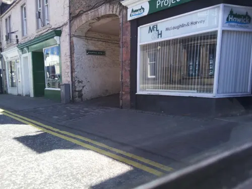
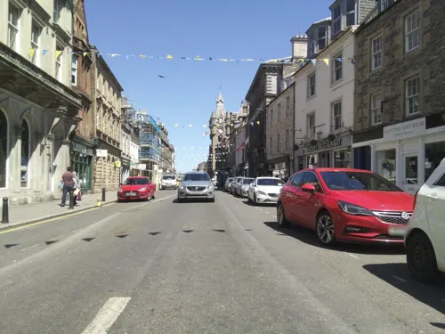
New Lam Wah 新南华
Restaurant · Chinese
5 High Street, Hawick
Fr-Sa 16:30-23:00; Su-Mo 16:30-22:30; We-Th 16:30-22:30
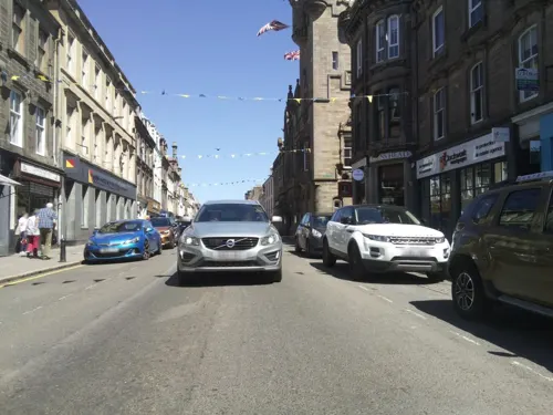
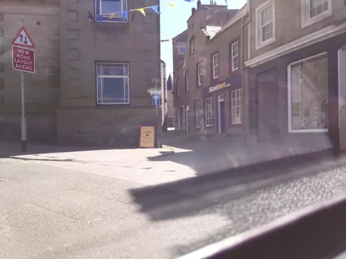


Eastfield Mills Coffee Shop
Cafe · Scottish · 0.5 mi
Mansfield Road, Hawick
Mo-Sa 09:30-16:00; Su 11:00-16:00


Nam's Palace
Restaurant · Chinese
2 Drumlanrig Square, Hawick
Mo-Su 16:00-23:00
43 more on the map.
History
The name Hawick is Old English in origin, first recorded in 1167 and translates as "enclosed farm" or "enclosed hamlet". The origin of the name of Hawick was first researched in the 1860s by James Murray, a local teacher and later the primary editor of the Oxford English Dictionary. The town has a long history of habitation being settled at the confluence of Slitrig Water and the River Teviot. The west end of the town contains "the Motte", the remains of a likely 12th century Scoto-Norman motte-and-bailey castle.
On 20 June 1342, as Alexander Ramsay of Dalhousie according to the duty of his office as Sheriff of Teviotsdale was holding court in the church of Hawick, William Douglas, Lord of Liddesdale came with an armed retinue and entered the church. He was courteously welcomed. Douglas and his men attacked Ramsay and dragged him bleeding and in chains to Hermitage Castle; It is generally assumed because Douglas believed he should be Sheriff of Teviotdale. There Ramsay was imprisoned in a dungeon where he died of starvation.
Read more of the history
The origin of Hawick being formally declared a town are said to originate with the Battle of Hornshole which was fought in 1514 between an English raiding party and young locals from Hawick. In 2014, on the 500th anniversary of the battle, some 1,800 children dressed in period costumes re-enacted the battle. The oldest official document of the town is a deed dated 11 October 1537 in which the town was re-declared a free burgh since time immemorial.
St Mary's and Old Parish Church is the oldest church in the town, being constructed in 1764 on the site of an earlier 13th century church. The church was extensively damaged by fire in the late 19th century but was reconstructed in a similar style. The cemetery contains 17th and 18th century gravestones, as well as an elaborate ironwork memorial gate given by the town council.
Hawick developed in the late 18th and 19th centuries as an important town in the manufacture of textiles and knitwear. The first knitting machines were brought to Hawick in 1771 by John Hardie, building on an existing carpet manufacturing trade and with a view to expanding into the production of stockings. As a result of a decline in the stocking trade by 1815, some weaving manufacturers had set up in the town using resources from the stocking trade. These industries continued to grow in size, when in the early 1830s, the term "Tweed" originated from the town as a result of a miscommunication of twill for the River Tweed. The town subsequently focused on the manufacturer of different textiles, hosiery and knitwear, including cashmere, adapting to different patterns and materials as fashions changed. In the 1930s, over 1200 people were employed in producing knitwear in the town. However, by the late 20th century, changing production methods, costs and tastes resulted in the decline of the textile industries to all but a few small businesses.
July 2020 saw the start of work on a £92m flood-defence scheme. But in October 2021, with engineering work still in progress, the town was severely affected by heavy rainfall and subsequent flooding.
From the History section of Hawick on Wikipedia, under CC BY-SA 4.0.
More about Hawick
Economy
The companies William Lockie, Hawico, Hawick Knitwear, Johnstons of Elgin, Lyle & Scott, Peter Scott, Pringle of Scotland, and Scott & Charters, have had and in many cases still have manufacturing plants in Hawick, producing luxury cashmere and merino wool knitwear. Engineering firm Turnbull and Scott had their headquarters in an Elizabethan-style listed building on Commercial Road before moving to Burnfoot.
In recent times, unemployment has been an issue in Hawick. The rate of unemployment exceeded the average for the Scottish Borders between 2014 and 2017. The closure of once-significant employers, including mills like Peter Scott's and Pringle's have reduced the number of jobs in the town. The population has declined partly because of this; at 13,730 in 2016, it was at its lowest since the 1800s. Despite efforts to improve the economic situation, unemployment and poverty remain relatively high, with the number of children living in poverty in the town one-tenth higher than the average for the Borders region in 2017. Developments such as a new business centre, which opened in 2024, an Aldi supermarket, and distillery, which opened in 2018–19, have benefitted Hawick. Despite this, continued business closures, for example that of Homebase and the Original Factory Store in 2018, suggest continued economic decline for the town.
Arts and culture
The town hosts the annual Common Riding, which combines the annual riding of the boundaries of the town's common land with the commemoration of a victory of local youths over an English raiding party in 1514. In March 2007, this was described by the Rough Guide publication World Party as one of the best parties in the world.
People from Hawick call themselves "Teries", after a traditional song which includes the line "Teribus ye teri odin".
Hawick and surrounding border residents are known to possess a dialect and accent slightly different from broader Scots, being classed as Southern Scots or Borders Scots. For example, the term a "Hawick Gill" is a large measure of spirits, equivalent to 0.28 litre (half a pint).
Hawick High Street has an equestrian statue at the east end, known as "the Horse", erected in 1914. Drumlanrig's Tower, now a museum, dates largely from the mid-16th century.
Education
Hawick Library is a Carnegie funded library that opened in 1904.
Teviotdale Leisure Centre is the local public fitness centre, with a gym, children's soft-play area and swimming pool. The previous public baths, now disused were built in 1913 on Commercial Road and closed in the 1980s.
The Borders Textile Towerhouse is a local museum focusing on the history of textiles in Hawick and the Borders area. Examples of temporary exhibitions held include an exhibit on fashion designer Bernat Klein and a history of shops in the town. The museum occupies a restored heritage building, formerly a hotel and inn which incorporates Drumlanrig Tower, a 16th-century fortified tower.
Wilton Lodge Park is a large public park in the south-west of the town. The park is home to Hawick Museum, a public museum focusing on art and local history. The museum includes local artwork, some of which was produced by members of Hawick Art Club.
The Borders Abbeys Way passes through Hawick. A statue of the popular rugby commentator Bill McLaren (1923–2010) is in Wilton Lodge Park, to the west of the town centre. In October 2021, the local council began construction of a new £2m footbridge to link local communities, as part of a broader improvements in the town to create an improved travel network in Hawick, alongside a new flood protection scheme.
From the Wikipedia article Hawick, under CC BY-SA 4.0.
Notable people from Hawick
 James WilsonScottish businessman, economist and Liberal politician (1805-1860)Photo: Sir John Watson-Gordon (died 1864), Public domain
 James Paris LeeBritish firearms designerPhoto: Webeditorusa, Public domain
 John Blackwood McEwenScottish classical composer and educator (1868–1948)Photo: Reginald Grenville Eves, CC BY-SA 4.0
 Steve HislopScottish motorcycle racer (1962–2003)Photo: Christof Berger, CC BY-SA 3.0
 Alison SuttieBritish political consultant (born 1968)Photo: Chris McAndrew, CC BY 3.0
 Chay BlythBritish yacht racer and ocean rowerPhoto: Gary Houston, CC0
 Walter ArmstrongBritish art historian and author (1850-1918)Photo: Simon Edwards Esq, CC BY-SA 4.0
 James Wilsonpolitician from New Zealand (1849–1929)Photo: S P Andrew Ltd, Public domain
- Andrew SmithScottish surgeon, explorer, ethnologist and zoologist (1797–1872)
- Peter McRobbieAmerican actor
- Ivan LaingScottish field hockey player (1885–1917)
- Bill McLarenScottish rugby union player (1923-2010)
Born in Hawick, according to Wikidata (CC0). Each name links to its Wikipedia article.
Where to stay4
Churches and places of worship12
Shopping24
Gas and EV charging3
Schools, colleges and libraries7
Healthcare10
Map of Hawick
170 places. The map loads OpenStreetMap tiles when you open it.
Getting there and nearby towns
Carlisle Lake District Airport (CAX) is the nearest airport with scheduled flights listed in OpenStreetMap, 34 miles away.
- Penicuik 33 mi northwest, about 53 min by car
- Carlisle 37 mi south, about 59 min by car
- Musselburgh 37 mi north, about 1 h by car
- Tranent 37 mi north, about 59 min by car
- Berwick-Upon-Tweed 39 mi northeast, about 1 h by car
- Edinburgh 40 mi northwest, about 1 h by car
- Hexham 41 mi southeast, about 1 h by car
- Livingston 44 mi northwest, about 1 h 15 min by car
- Morpeth 47 mi east, about 1 h 15 min by car
- Kirkcaldy 50 mi north, about 1 h 15 min by car
Drive times are estimates from straight-line distance, not routes.
Towns near Hawick


Keep exploring
Local news
Headlines from INDB.
Reviews, tips and questions
Loading what members have shared...
Sources and licences
- GeoNames (CC BY 4.0): population, coordinates, regions and time zone
- Mapillary (see each image): photos
- OpenStreetMap contributors (ODbL 1.0): places, airports, map data
- Wikidata (CC0 1.0): elevation, founding date, time zone, website
- Wikimedia Commons (see each image): photos
- Wikipedia (CC BY-SA 4.0): overview and history text
Photo credits
- Royal Bank Of Scotland, 33-35 High Street, Hawick frontage, Mainlymazza, CC BY-SA 4.0
- Upper storeys of 47 High Street, Hawick, Mainlymazza, CC BY-SA 4.0
- 47 High Street, Hawick, September 2020, Mainlymazza, CC BY-SA 4.0
- Doorway of 47 High Street, Hawick, Mainlymazza, CC BY-SA 4.0
- Queens Head Public House, 32 High Street, Hawick, Victuallers, CC BY-SA 4.0
- 30 High Street, Hawick Clockwork, Victuallers, CC BY-SA 4.0
- 23 High Street, Hawick was uniparts, Victuallers, CC BY-SA 4.0
- Mansfield Park rugby ground, Victuallers, CC BY-SA 4.0
- Borders Distillery, Victuallers, CC BY-SA 4.0
- Hawick Congregational Community Church And Halls, Bourtree Place, Victuallers, CC BY-SA 4.0
- The Bourtree 2021, Victuallers, CC BY-SA 4.0
- Borders Textile Towerhouse, Victuallers, CC BY-SA 4.0
- 75000 gets you the Queen's Head pub, Victuallers, CC BY-SA 4.0
- 25 High Street John Lamont MPs office, Victuallers, CC BY-SA 4.0
- Street-level photo, southglos, CC BY-SA 4.0
- Street-level photo, southglos, CC BY-SA 4.0
- Street-level photo, southglos, CC BY-SA 4.0
- Street-level photo, victuallers, CC BY-SA 4.0
- Street-level photo, southglos, CC BY-SA 4.0
- Street-level photo, victuallers, CC BY-SA 4.0
- Street-level photo, southglos, CC BY-SA 4.0
- Street-level photo, victuallers, CC BY-SA 4.0
- Street-level photo, southglos, CC BY-SA 4.0
- Street-level photo, fluffyduck, CC BY-SA 4.0
- Street-level photo, southglos, CC BY-SA 4.0
- Street-level photo, victuallers, CC BY-SA 4.0
- Street-level photo, victuallers, CC BY-SA 4.0
- Street-level photo, victuallers, CC BY-SA 4.0
- Street-level photo, fluffyduck, CC BY-SA 4.0
- Street-level photo, victuallers, CC BY-SA 4.0
- Street-level photo, southglos, CC BY-SA 4.0
- Street-level photo, southglos, CC BY-SA 4.0
- Street-level photo, victuallers, CC BY-SA 4.0
- Street-level photo, southglos, CC BY-SA 4.0
- Street-level photo, southglos, CC BY-SA 4.0
- Street-level photo, fluffyduck, CC BY-SA 4.0
- Street-level photo, victuallers, CC BY-SA 4.0
- Street-level photo, victuallers, CC BY-SA 4.0
- Street-level photo, fluffyduck, CC BY-SA 4.0
- Street-level photo, fluffyduck, CC BY-SA 4.0
- Street-level photo, victuallers, CC BY-SA 4.0

Page built November 10, 2026. Spotted a mistake? Tell us or suggest a place.