


High Halden, United Kingdom
High Halden is a town of 1,159 people in England, United Kingdom.
Why visit High Halden
Townapedia lists 6 parks and trails, 7 places to eat, 8 places to stay and 2 attractions in and around town.
Highlights include Sinden Theatre, Stone Wood and Turners Field.
Weather in High Halden
Forecast from MET Norway (CC BY 4.0). Full forecast
About High Halden
High Halden is a village and civil parish in the Ashford District of Kent, England. The village is on the A28 road between Ashford and Tenterden, 3 miles (5 km) north of the latter town. The Tenterden suburb of St. Michaels is included.
From the Wikipedia article High Halden (this version), under CC BY-SA 4.0.
Things to do2


Parks, trails and playgrounds6




Restaurants and cafes7
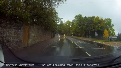
St Michaels Traditional Fish & Chips
Fast food · Fish And Chips · 1.8 mi
Ashford Road, Tenterden

Where to stay8
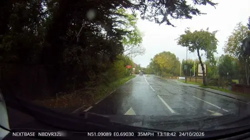


History
Fifty tons of oak was used to build the tower and spire of the 10th–14th-century church, St Mary the Virgin, in 1470–1490. The church was restored in 1835 through funds donated by Mrs. Amy Kynaston Sutton, widow of the former vicar Evelyn Levett Sutton and sister and sole heiress of her brother Sir John Roger Kynaston, Bart. The large pub The Chequers on the Green, circa 1620, is known to have been used by smugglers and the various gangs such as the "Hawkhurst and Cranbrook gangs" that were active in the mid-18th century. The parish is recorded in the Domesday Book and parts of a Norman manor house can be seen at Tiffenden Farm.
This Grade I listed church was built before 1286 (this being the first date for which there is a recorded name of a priest at the church, Richard de Halyngleghe). Although the church has been extended over the years, its most remarkable feature is the timbered tower which was probably constructed in the late 13th Century. It consists of an octagonal ground floor and a square upper story above which rises an 80-foot octagonal shingle-clad spire. The whole structure is braced and strengthened by a system of massive oak pillars, beams and trusses. The 14th Century South porch has an entrance which is a natural arch made of two halves of a colossal oak trunk and inside the church there is a 13th Century font.
Read more of the history
RAF High Halden is a former Royal Air Force Advanced Landing Ground in Kent, England
From the History section of High Halden on Wikipedia, under CC BY-SA 4.0.
Notable people from High Halden
 John HalesEnglish politicianPhoto: British School, Public domain
Born in High Halden, according to Wikidata (CC0). Each name links to its Wikipedia article.
Churches and places of worship6
Kingdom Hall of Jehovahs Witnesses - Tenterden
Church · Jehovahs Witness · 1.3 mi
Shopping1
Gas and EV charging1
Schools, colleges and libraries6
Map of High Halden
37 places. The map loads OpenStreetMap tiles when you open it.
Getting there and nearby towns
Lydd Airport (LYX) is the nearest airport with scheduled flights listed in OpenStreetMap, 14 miles away.
- Woodchurch 3 mi southeast, about 5 min by car
- Shadoxhurst 5 mi east, about 7 min by car
- Sissinghurst 7 mi west, about 11 min by car
- Ashford 8 mi northeast, about 12 min by car
- Northiam 9 mi southwest, about 14 min by car
- Horsmonden 13 mi west, about 20 min by car
- Maidstone 14 mi northwest, about 23 min by car
- Lympne 14 mi east, about 22 min by car
- Ticehurst 14 mi west, about 22 min by car
- Sittingbourne 16 mi north, about 26 min by car
Drive times are estimates from straight-line distance, not routes.
Towns near High Halden


Keep exploring
Local news
Headlines from INDB.
Reviews, tips and questions
Loading what members have shared...
Sources and licences
- GeoNames (CC BY 4.0): population, coordinates, regions and time zone
- Mapillary (see each image): photos
- OpenStreetMap contributors (ODbL 1.0): places, airports, map data
- Wikidata (CC0 1.0): elevation, founding date, time zone, website, landmarks and historic places
- Wikimedia Commons (see each image): photos
- Wikipedia (CC BY-SA 4.0): overview and history text
Photo credits
- Stone Wood 2, Dudley Miles, CC BY-SA 4.0
- Turners Field 2, Dudley Miles, CC BY-SA 4.0
- Wattle Wood 2, Dudley Miles, CC BY-SA 4.0
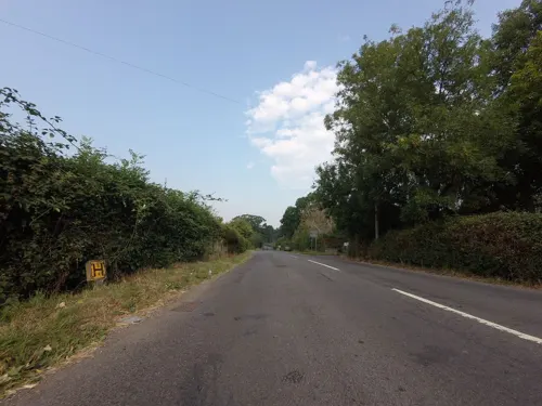
- Street-level photo, tallguy, CC BY-SA 4.0
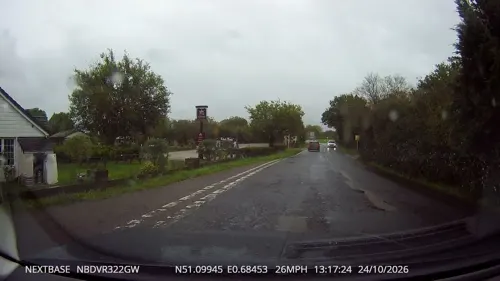
- Street-level photo, tallguy, CC BY-SA 4.0
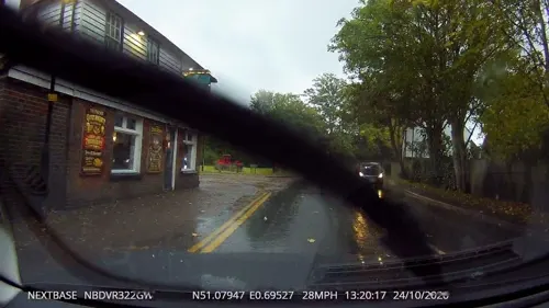
- Street-level photo, southglos, CC BY-SA 4.0
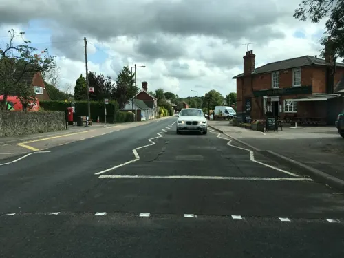
- Street-level photo, tallguy, CC BY-SA 4.0
- Street-level photo, tallguy, CC BY-SA 4.0
- Street-level photo, tallguy, CC BY-SA 4.0
- Street-level photo, tallguy, CC BY-SA 4.0
- Street-level photo, tallguy, CC BY-SA 4.0
- Street-level photo, tallguy, CC BY-SA 4.0
- Street-level photo, southglos, CC BY-SA 4.0
- Street-level photo, tallguy, CC BY-SA 4.0
Page built November 10, 2026. Spotted a mistake? Tell us or suggest a place.