


Sissinghurst, United Kingdom
Sissinghurst is a town of 1,068 people in England, United Kingdom.
Why visit Sissinghurst
Townapedia lists 5 museums and landmarks, 9 parks and trails, 21 places to eat, 2 places to stay and 1 attraction in and around town.
Highlights include Cranbrook Museum, South Cottage, Sissinghurst Castle and Garden and Crane Valley.
Weather in Sissinghurst
Forecast from MET Norway (CC BY 4.0). Full forecast
About Sissinghurst
Sissinghurst is a small village in the borough of Tunbridge Wells in Kent, England. Originally called Milkhouse Street (also referred to as Mylkehouse), Sissinghurst changed its name in the 1850s, possibly to avoid association with the smuggling and cockfighting activities of the Hawkhurst Gang. It is in the civil parish of Cranbrook and Sissinghurst.
From the Wikipedia article Sissinghurst (this version), under CC BY-SA 4.0.
Things to do1

Museums and landmarks5

Cranbrook Museum
Museum · 1.4 mi
Carriers Road, Cranbrook
Apr-Oct Tu-Sa 14:00-16:30; Aug Tu-Su 14:00-16:30; PH 14:00-15:30




Parks, trails and playgrounds9


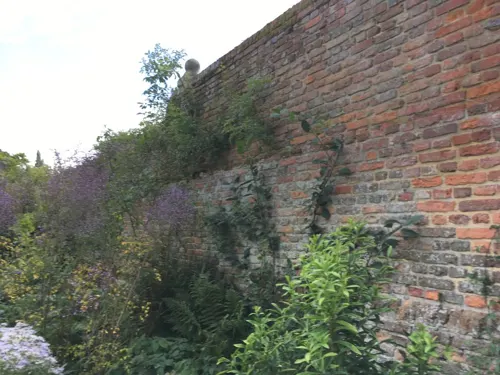
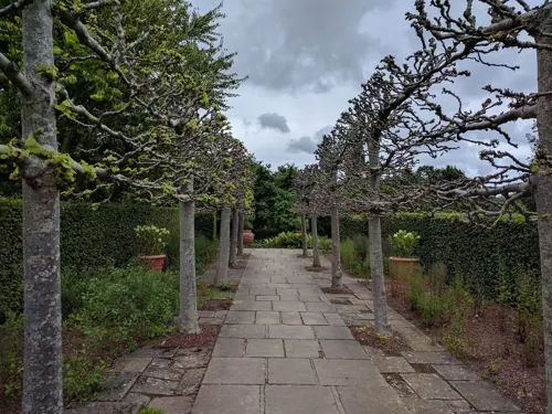


Cranbrook (formerly Hemsted Forest) Golf Club (Permanently closed)
Golf course · 1.5 mi

Restaurants and cafes21
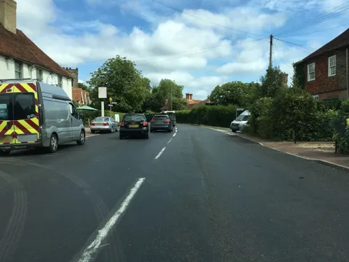

The Granary Restaurant at Sissinghurst Garden Castle
Restaurant · 1.0 mi
Mo-Su 10:00-17:30; PH 10:00-17:30

9 more on the map.
More about Sissinghurst
Geography
Sissinghurst is situated with Cranbrook to the south, Goudhurst to the west, Tenterden to the east and Staplehurst to the north. It sits just back from the A229 which goes from Rochester to Hawkhurst.
From the Wikipedia article Sissinghurst, under CC BY-SA 4.0.
Where to stay2
Churches and places of worship9
Shopping4
Gas and EV charging2
Schools, colleges and libraries7
Sissinghurst Voluntary Aided Church of England Primary School
School · Anglican
Common Road, Cranbrook
Healthcare1
Map of Sissinghurst
61 places. The map loads OpenStreetMap tiles when you open it.
Getting there and nearby towns
Rochester Airport (RCS) is the nearest airport with scheduled flights listed in OpenStreetMap, 17 miles away.
- Maidstone 11 mi north, about 18 min by car
- Royal Tunbridge Wells 13 mi west, about 21 min by car
- Ashford 14 mi east, about 22 min by car
- Tonbridge 14 mi northwest, about 22 min by car
- Snodland 16 mi north, about 26 min by car
- Hastings 18 mi south, about 28 min by car
- Sittingbourne 18 mi northeast, about 28 min by car
- Crowborough 18 mi west, about 28 min by car
- Bexhill-on-Sea 18 mi south, about 29 min by car
- Chatham 19 mi north, about 30 min by car
Drive times are estimates from straight-line distance, not routes.
Towns near Sissinghurst


Keep exploring
Local news
Headlines from INDB.
Reviews, tips and questions
Loading what members have shared...
Sources and licences
- GeoNames (CC BY 4.0): population, coordinates, regions and time zone
- Mapillary (see each image): photos
- OpenStreetMap contributors (ODbL 1.0): places, airports, map data
- Wikidata (CC0 1.0): elevation, founding date, time zone, website, landmarks and historic places
- Wikimedia Commons (see each image): photos
- Wikipedia (CC BY-SA 4.0): overview and history text
Photo credits
- Sissinghurst Village, -- Immanuel Giel 08:50, 21 August 2007 (UTC), Public domain
- Crane Valley 2, Dudley Miles, CC BY-SA 4.0
- All Saints Church, Staplehurst, Julian P Guffogg, CC BY-SA 2.0
- St George, Benenden, Poliphilo, CC0
- Vita's tower, Hans Bernhard ( Schnobby ), CC BY-SA 3.0
- 1084164 II Star THE SOUTH COTTAGE Cranbrook and Sissinghurst 20250908 0002, Tilman2007, CC BY-SA 4.0
- Cranbrook First Market Cross plaque Cranbrook Museum Carriers Road Cranbrook Kent TN17 3JX, Spudgun67, CC0
- Union Mill Cranbrook, Sarah EDT, CC BY-SA 4.0
- The White Garden (2403994716), Smudge 9000 from North Kent Coast, England, CC BY 2.0
- Street-level photo, southglos, CC BY-SA 4.0
- Street-level photo, chris, CC BY-SA 4.0
- Street-level photo, tallguy, CC BY-SA 4.0
- Street-level photo, southglos, CC BY-SA 4.0
- Street-level photo, chris, CC BY-SA 4.0
- Street-level photo, chris, CC BY-SA 4.0
- Street-level photo, southglos, CC BY-SA 4.0
- Street-level photo, southglos, CC BY-SA 4.0
- Street-level photo, chris, CC BY-SA 4.0
- Street-level photo, chris, CC BY-SA 4.0
- Street-level photo, chris, CC BY-SA 4.0
- Street-level photo, chris, CC BY-SA 4.0
- Street-level photo, janvanbekkum, CC BY-SA 4.0
- Street-level photo, southglos, CC BY-SA 4.0
- Street-level photo, chris, CC BY-SA 4.0
- Street-level photo, chris, CC BY-SA 4.0
Page built November 10, 2026. Spotted a mistake? Tell us or suggest a place.