


Horsmonden, United Kingdom
Horsmonden is a town of 1,620 people in England, United Kingdom.
Why visit Horsmonden
Townapedia lists 4 museums and landmarks, 5 parks and trails, 3 places to eat and 1 place to stay in and around town.
Highlights include Scotney Castle, Brenchley Wood and The Gill.
Weather in Horsmonden
Forecast from MET Norway (CC BY 4.0). Full forecast
About Horsmonden
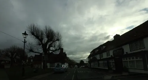
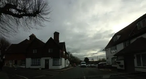
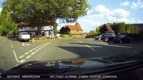
Horsmonden is a village in the borough of Tunbridge Wells in Kent, England. The village is located in the Weald of Kent. It is situated on a road leading from Maidstone to Lamberhurst, three miles north of the latter place. The nearest railway station is Paddock Wood.
From the Wikipedia article Horsmonden (this version), under CC BY-SA 4.0.
Museums and landmarks4

Scotney Castle
Museum · 3.3 mi
Country house in Lamberhurst, Kent, England, UK

Parks, trails and playgrounds5




Restaurants and cafes3

Where to stay1
History
The village's name is derived from the Anglo Saxon hors meaning 'horse', bune ('reed') or burna ('stream') and denn, a Kentish word meaning 'wooded pasture'. The village is first recorded as Horsbundenne around the turn of the twelfth century.
The village was an important centre of the post-medieval iron industry and the nearby Furnace Pond is one of the largest of the artificial lakes made to provide water power for the works. King Charles I visited the foundry in 1638 to watch a cannon being cast – a bronze four-pounder, forty-two inches long, now preserved in London's White Tower.
The village was home to Jane Austen's grandfather who lived at Broadford, a 15th-century clothmaster's hall, and several other of her relatives. The main Austen residence moved from Broadford to Capel Manor House which was constructed in 1860 but demolished in 1966. Many of the family's graves can be seen in the churchyard of St. Margaret's Church.
Read more of the history
There is a Pavee horse fair held on the village green each year. In 2000, the local parish council with assistance of the then-Home Secretary Jack Straw, ruled that due to ongoing safety concerns, the fair would not go ahead and a 5-mile exclusion zone was put in place. However, due to protests and legal action from the wider Pavee community, this decision was overturned and the fairs resumed following a compromise between the travellers and the local authorities in 2001.
St Margaret's Church is located some distance away from the centre of the village, towards the neighbouring village of Goudhurst.
Just outside the village is the 16th-century National Trust property Sprivers, which has an open garden at specific dates as part of the National Gardens Scheme.
From the History section of Horsmonden on Wikipedia, under CC BY-SA 4.0.
Notable people from Horsmonden
 William MoonBritish inventor (1818-1894)Photo: Unknown author Unknown author, Public domain
 Simon WillardAmerican colonistPhoto: Daderot, CC0
- Ruth Thomaswriter
Born in Horsmonden, according to Wikidata (CC0). Each name links to its Wikipedia article.
Churches and places of worship10
Shopping1
Schools, colleges and libraries1
Map of Horsmonden
25 places. The map loads OpenStreetMap tiles when you open it.
Getting there and nearby towns
Rochester Airport (RCS) is the nearest airport with scheduled flights listed in OpenStreetMap, 15 miles away.
- Lamberhurst 3 mi southwest, about 5 min by car
- Yalding 6 mi north, about 9 min by car
- Sissinghurst 6 mi east, about 10 min by car
- Ticehurst 6 mi south, about 10 min by car
- Royal Tunbridge Wells 7 mi west, about 12 min by car
- Tonbridge 8 mi northwest, about 12 min by car
- Speldhurst 9 mi west, about 15 min by car
- Maidstone 10 mi northeast, about 15 min by car
- Crowborough 13 mi southwest, about 20 min by car
- Sevenoaks 14 mi northwest, about 22 min by car
Drive times are estimates from straight-line distance, not routes.
Towns near Horsmonden


Keep exploring
Local news
Headlines from INDB.
Reviews, tips and questions
Loading what members have shared...
Sources and licences
- GeoNames (CC BY 4.0): population, coordinates, regions and time zone
- Mapillary (see each image): photos
- OpenStreetMap contributors (ODbL 1.0): places, airports, map data
- Wikidata (CC0 1.0): elevation, founding date, time zone, website, landmarks and historic places
- Wikimedia Commons (see each image): photos
- Wikipedia (CC BY-SA 4.0): overview and history text
Photo credits
- Scotney Castle, National Trust (5662078576), Berit from Redhill/Surrey, UK, CC BY 2.0
- Brenchley Wood 8, Dudley Miles, CC BY-SA 4.0
- The Gill 5, Dudley Miles, CC BY-SA 4.0
- Lamberhurst, St Mary, Poliphilo, CC0
- St Mary, Goudhurst, west front, Poliphilo, CC0
- All Saints, Brenchley from south west, Poliphilo, CC0
- Kent - Church of St Margaret - 2026-10-06 12-06-15 001, KentSnapper, CC BY-SA 4.0
- Street-level photo, tallguy, CC BY-SA 4.0
- Street-level photo, tallguy, CC BY-SA 4.0
- Street-level photo, paulbiv, CC BY-SA 4.0
- Street-level photo, tallguy, CC BY-SA 4.0
- Street-level photo, tallguy, CC BY-SA 4.0
- Street-level photo, tallguy, CC BY-SA 4.0
- Street-level photo, tallguy, CC BY-SA 4.0
- Street-level photo, tallguy, CC BY-SA 4.0

Page built November 10, 2026. Spotted a mistake? Tell us or suggest a place.