


Why visit Horsham
Townapedia lists 13 museums and landmarks, 27 parks and trails, 135 places to eat, 5 places to stay and 6 attractions in and around town.
Highlights include Capitol Horsham, Everyman, Horsham Museum and The Capitol.
Weather in Horsham
Forecast from MET Norway (CC BY 4.0). Full forecast
About Horsham
Horsham () is a market town and civil parish on the upper reaches of the River Arun on the fringe of the Weald, in West Sussex, England. The town lies 31 miles (50 km) south-south-west of London, 18.5 miles (30 km) north-west of Brighton and 26 miles (42 km) north-east of the county town of Chichester. Nearby towns include Crawley to the north-east and Haywards Heath and Burgess Hill to the south-east. It is the administrative centre of the Horsham district.
From the Wikipedia article Horsham (this version), under CC BY-SA 4.0.
Travel tips from other travellers: Horsham on Wikivoyage (CC BY-SA 4.0).
Photos of Horsham


Things to do6



Museums and landmarks13


Horsham Museum and Art Gallery
Museum
Museum in Horsham, West Sussex, England, UK

Alfoldean Roman site
Monument and historic site · 3.7 mi
Archaeological site in Slinfold, Horsham, England, UK
Sedgwick Castle
Monument and historic site · 2.3 mi
Castle in Sedgwick, England

1 more on the map.
Parks, trails and playgrounds27
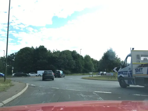



Warnham Local Nature Reserve
Hiking and trails · 1.4 mi
Apr-Sep 10:00-17:00; Oct-Mar 10:00-16:00; Dec 25 off; Dec 26 off


15 more on the map.
Restaurants and cafes135
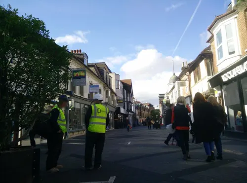
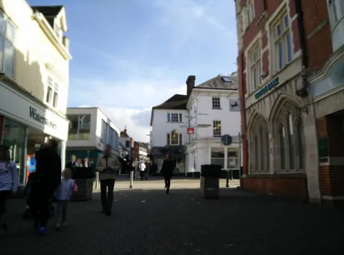
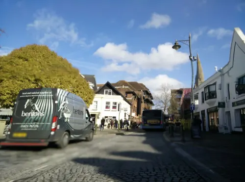
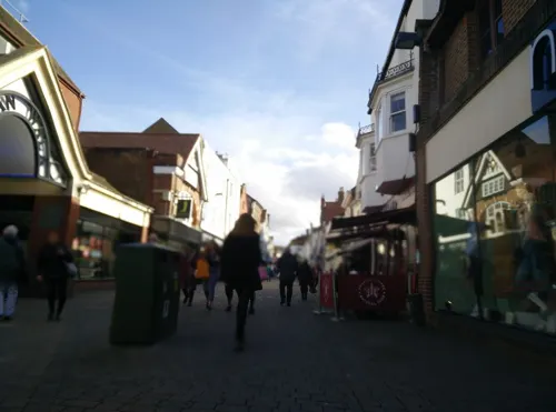
Caffè Nero
Cafe · Coffee Shop
50 West Street, Horsham
Mo-Fr 07:00-18:00; Sa 07:30-18:00; Su 08:30-17:30
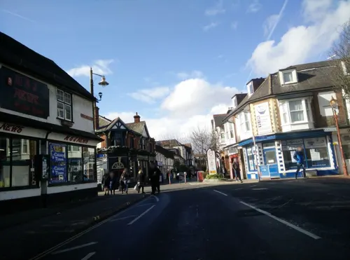
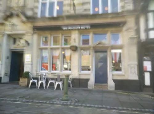
FELIX Bistro
Restaurant · European, Asian, Middle Eastern
5 Market Square, Horsham
Tu 17:00-21:00; We-Sa 12:00-15:00,17:00-21:00
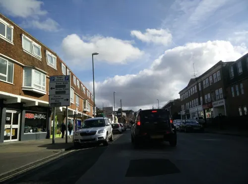
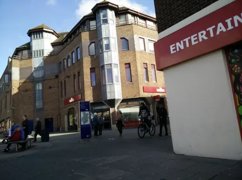

The Shish
Restaurant · Turkish
8 Queen Street, Horsham
Mo-Th 16:00-22:30; Fr-Sa 13:00-22:30; Su 13:00-21:00


123 more on the map.
More about Horsham
Geography
Horsham lies 50 metres (160 ft) above sea level. It is in the centre of the Weald in the Low Weald, at the western edge of the High Weald, with the Surrey Hills of the North Downs to the north and the Sussex Downs of the South Downs National Park to the south. The River Arun rising from ghylls in the St Leonard's Forest area, to the east of Horsham, cuts through the south of the town then makes its way through Broadbridge Heath. The Arun is joined by a number of streams flowing down from the north, which rises around Rusper.
The name Carfax is likely of Norman origin – a corruption of 'Quatre Voies' (four ways) or 'Carrefour', a place where four roads meet. The Carfax was formerly known as "Scarfoulkes", the derivation of which is uncertain. Two other places in England share the name: the Carfax in Oxford and the Carfax in Winchester.
Economy
Horsham is a market town, formerly trading in cattle, sheep and corn. Its prosperity was built on industries that included brewing, brickmaking, iron-smelting and printing. Although some of these survive, with the exception of iron smelting, they are on a small scale and no longer employ large numbers of workers. In 2014, the important industries were financial services, pharmaceuticals, and technology. Horsham is a commuter town serving London, Gatwick Airport and the south-east coast. The town still has Saturday and Thursday markets on Carfax.
Horsham's town centre has a reputation for small business and also provides multiple retail chain stores. Supermarkets serving the town include branches of Tesco, Sainsbury's, Marks & Spencer, Lidl and Aldi. In 2015, a new £8 million Waitrose and John Lewis at Home joint facility was opened after the closure of the smaller Waitrose that was formerly located in Piries Place.
Education
The College of Richard Collyer is the sixth form college serving Horsham. Founded in 1532, it is known more commonly as Collyer's and is situated on Hurst Road.
As of July 2020, West Sussex County Council announced proposals to alter The Forest School from a single sex boys' school to a co-educational school from September 2021 entry.
Horsham is home to the following well known independent schools:
Christ's Hospital, one of the oldest schools in the country, established in 1552 by Edward VI. An independent co-educational 11–18 boarding and day school
Farlington School, an independent day and boarding school for children aged 4–18 at Strood Green about three miles from Horsham travelling towards Rudgwick. Originally founded as a girls' school, from 2020, Farlington will be accepting boys as well as girls into certain year groups.
From the Wikipedia article Horsham, under CC BY-SA 4.0.
Notable people from Horsham
 Percy Bysshe ShelleyBritish Romantic poet (1792–1822)Photo: After Amelia Curran, Public domain
 Jolyon PalmerBritish racing driverPhoto: Morio, CC BY-SA 4.0
 Harry EnfieldEnglish actor, comedian, writerPhoto: Raph_PH, CC BY 2.0
 Cecil HurstBritish judge (1870-1963)Photo: Meijer, […] / Anefo, CC0
 Will PalmerBritish racing driverPhoto: Andrea Volpato from pv Novara, Italia, CC BY-SA 2.0
- William Daniel ConybeareEnglish geologist and palaeontologist (1787-1857)
- Hammond InnesBritish writer (1913-1998)
- Mark RowlandBritish athletics competitor (born 1963)
- Arthur Cockfield, Baron CockfieldBritish politician (1916-2007)
- Joan FryBritish tennis player (1906-1985)
- Thomas MedwinEnglish poet and translator (1788-1869)
- Helen Cordelia AngellEnglish painter
Born in Horsham, according to Wikidata (CC0). Each name links to its Wikipedia article.
Where to stay5
Churches and places of worship34
Hope Strict Baptist Chapel
Church · Baptist · 0.5 mi
Clarence Road, Horsham
Shopping37
Gas and EV charging6
Schools, colleges and libraries23
St Robert Southwell Catholic Primary School
School · Roman Catholic · 1.8 mi
Lambs Farm Road, Horsham
Healthcare10
Map of Horsham
250 places. The map loads OpenStreetMap tiles when you open it.
Getting there and nearby towns
London Gatwick Airport (LGW) is the nearest airport with scheduled flights listed in OpenStreetMap, 9 miles away.
- Broadfield 6 mi northeast, about 9 min by car
- Crawley 7 mi northeast, about 12 min by car
- Cranleigh 9 mi northwest, about 14 min by car
- Horley 11 mi northeast, about 17 min by car
- Burgess Hill 11 mi southeast, about 18 min by car
- Hurstpierpoint 11 mi southeast, about 18 min by car
- Dorking 12 mi north, about 19 min by car
- Reigate 13 mi northeast, about 21 min by car
- Redhill 14 mi northeast, about 23 min by car
- East Grinstead 15 mi east, about 23 min by car
Drive times are estimates from straight-line distance, not routes.
Towns near Horsham


Keep exploring
Local news
Headlines from INDB.
Reviews, tips and questions
Loading what members have shared...
Sources and licences
- GeoNames (CC BY 4.0): population, coordinates, regions and time zone
- Mapillary (see each image): photos
- OpenStreetMap contributors (ODbL 1.0): places, airports, map data
- Wikidata (CC0 1.0): elevation, founding date, time zone, website, landmarks and historic places
- Wikimedia Commons (see each image): photos
- Wikipedia (CC BY-SA 4.0): overview and history text
Photo credits
- Horsham bandstand april 2009, Grim23 ( talk ), CC BY-SA 3.0
- Horsham Carfax 5, Arriva436, CC BY-SA 3.0
- Horsham banner Bandstand, Arriva436, CC BY-SA 3.0
- Horsham Carfax 6, Arriva436, CC BY-SA 3.0
- Horsham Bandstand, Arriva436, CC BY-SA 3.0
- Southdown bus 417 (PRX 189B), Horsham, 4 Sep 2011 (2), Chris Sampson, CC BY 2.0
- Southdown bus 603 (TPN 103S), Horsham, 4 Sep 2011 (2), Chris Sampson, CC BY 2.0
- Southdown bus 417 (PRX 189B), Horsham, 4 Sep 2011 (1), Chris Sampson, CC BY 2.0
- Church of the Holy Innocents, Southwater (NHLE Code 1259780), The Voice of Hassocks, CC0
- Horsham Unitarian Church, Worthing Road, Horsham (IoE Code 298204), The Voice of Hassocks, CC0
- Horsham - museum 01, Whn64, CC BY-SA 3.0
- All Saints Church, Roffey, The Voice of Hassocks, Public domain
- Hope Strict Baptist Chapel, Oakhill Road, Horsham, The Voice of Hassocks, CC0
- Madina Mosque (Formerly Jireh Independent Chapel), Park Terrace East, Horsham, The Voice of Hassocks, CC0
- Millais School, Horsham, Nigel Chadwick, CC BY-SA 2.0
- Appleyards Bible Church, 72 Brighton Road, Horsham (April 2018) (4), User:Hassocks5489, CC0
- St Mark's Church, North Heath Lane, North Heath, Horsham (April 2018) (10), User:Hassocks5489, CC0
- The Capitol theatre and cinema, Horsham, West Sussex, England, Acabashi, CC BY-SA 4.0
- Southdown coach 1835 (UUF 335J) (3), Chris Sampson, CC BY 2.0
- Southdown coach 1835 (UUF 335J) (2), Chris Sampson, CC BY 2.0
- Sussex Police car GX10 JPU, Chris Sampson, CC BY 2.0
- 4055 GN09AXH (49736010602), Chris Errett from Guildford, Surrey, CC BY-SA 2.0
- Handcross District Community Bus SN58 BZC 3, Arriva436, CC BY-SA 3.0
- Grinnall Scorpion 3, Michael Gaylard, CC BY 2.0
- 3990 GN07DLY (49761051848), Chris Errett from Guildford, Surrey, CC BY-SA 2.0
- Compass Bus YJ55 YGZ 2, Arriva436, CC BY 3.0
- Metrobus 376 Y376 HMY 2, Arriva436, CC BY 3.0
- Street-level photo, matt_ellery, CC BY-SA 4.0
- Street-level photo, matt_ellery, CC BY-SA 4.0
- Street-level photo, matt_ellery, CC BY-SA 4.0
- Street-level photo, matt_ellery, CC BY-SA 4.0
- Street-level photo, matt_ellery, CC BY-SA 4.0
- Street-level photo, matt_ellery, CC BY-SA 4.0
- Street-level photo, matt_ellery, CC BY-SA 4.0
- Street-level photo, matt_ellery, CC BY-SA 4.0
- Street-level photo, matt_ellery, CC BY-SA 4.0
- Street-level photo, matt_ellery, CC BY-SA 4.0
- Street-level photo, matt_ellery, CC BY-SA 4.0
- Street-level photo, matt_ellery, CC BY-SA 4.0
- Street-level photo, matt_ellery, CC BY-SA 4.0
- Street-level photo, matt_ellery, CC BY-SA 4.0
- Street-level photo, southglos, CC BY-SA 4.0
- Street-level photo, matt_ellery, CC BY-SA 4.0
- Street-level photo, matt_ellery, CC BY-SA 4.0
- Street-level photo, matt_ellery, CC BY-SA 4.0
- Street-level photo, matt_ellery, CC BY-SA 4.0
- Street-level photo, matt_ellery, CC BY-SA 4.0


Page built November 10, 2026. Spotted a mistake? Tell us or suggest a place.