

Why visit Howwood
Townapedia lists 5 museums and landmarks, 1 park or trail, 4 places to eat, 1 place to stay and 5 attractions in and around town.
Highlights include Semple Collegiate Church and Gleniffer Braes.
Weather in Howwood
Forecast from MET Norway (CC BY 4.0). Full forecast
About Howwood
Howwood (Scots: The Howewuid, Scottish Gaelic: Coille an Dail) is a village in Renfrewshire, Scotland. It is between Johnstone and Lochwinnoch, just off the A737 dual carriageway between the nearby town of Paisley and the Ayrshire border. It is served by Howwood railway station.
From the Wikipedia article Howwood (this version), under CC BY-SA 4.0.
Things to do5
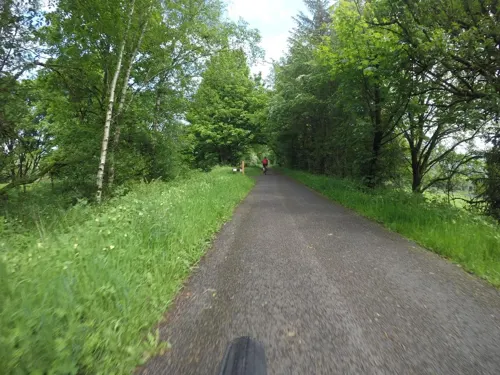
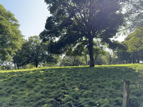


Museums and landmarks5
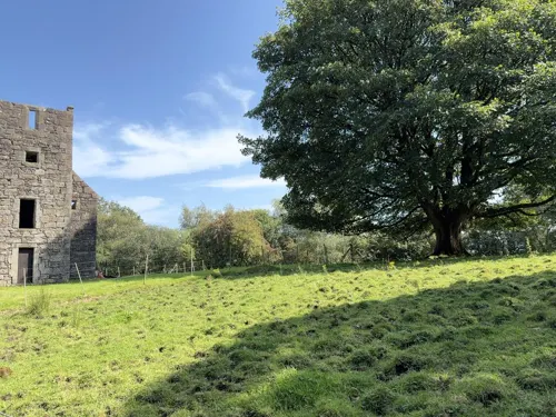

Parks, trails and playgrounds1

Gleniffer Braes
Park · 2.9 mi
Hills and park in North Ayrshire, Scotland, UK
Restaurants and cafes4



History
Its name is listed in the late 19th century Ordnance Gazetteer of Scotland as "Howwood or Hollow-wood". Hollow-Wood is an anglicisation of the Scots language name Howewuid. The Surname Database gives the following etymology for the equivalent surname 'Howood': a topographical name from residence by a muddy wood, deriving from the pre-7th-Century Old English "horh", mud, slime, and "wudu", wood.
Historically part of the civil parish of Lochwinnoch, it now supports its own Community Council.
The chief industry in the village was formerly bleaching and the finishing of cotton cloth and thread, particularly from the mills of Paisley and the other Renfrewshire villages. Two main bleaching works existed at Bowfield and Midtownfield, the former being the last to close in the 1960s.
Overlooking the village on Kenmure Hill is the Temple, a circular folly built around 1760 and whose purpose is unknown. In the hills above Howwood also lie the remains of Elliston Castle, a tower house once home to the Semple family. A battle took place between Government forces and Covenanters at Muirdykes on the 18 June 1685, led by the Cochrane family of Johnstone The Iron Age hillfort of Walls Hill lies on Whittliemuir with the Walls Loch lying to the west of it.
From the History section of Howwood on Wikipedia, under CC BY-SA 4.0.
Notable people from Howwood
- James McCloyScottish footballer
Born in Howwood, according to Wikidata (CC0). Each name links to its Wikipedia article.
Where to stay1
Churches and places of worship4
Schools, colleges and libraries6
Spateston Early Learning & Childcare CentreCentre
School · 1.1 mi
Hallhill Road, Johnstone
Healthcare1
Map of Howwood
27 places. The map loads OpenStreetMap tiles when you open it.
Getting there and nearby towns
Glasgow Airport (GLA) is the nearest airport with scheduled flights listed in OpenStreetMap, 6 miles away.
- Johnstone 2 mi northeast, about 3 min by car
- Paisley 5 mi east, about 8 min by car
- Barrhead 6 mi east, about 10 min by car
- Erskine 7 mi northeast, about 12 min by car
- Renfrew 8 mi northeast, about 12 min by car
- Clydebank 9 mi northeast, about 14 min by car
- Newton Mearns 9 mi east, about 15 min by car
- Dumbarton 9 mi north, about 15 min by car
- Port Glasgow 10 mi northwest, about 16 min by car
- Glasgow 12 mi east, about 20 min by car
Drive times are estimates from straight-line distance, not routes.
Towns near Howwood


Keep exploring
Local news
Headlines from INDB.
Reviews, tips and questions
Loading what members have shared...
Sources and licences
- GeoNames (CC BY 4.0): population, coordinates, regions and time zone
- Mapillary (see each image): photos
- OpenStreetMap contributors (ODbL 1.0): places, airports, map data
- Wikidata (CC0 1.0): elevation, founding date, time zone, website, landmarks and historic places
- Wikimedia Commons (see each image): photos
- Wikipedia (CC BY-SA 4.0): overview and history text
Photo credits
- St Winnock's Church - view from SW, Tom Parnell, CC BY-SA 4.0
- Street-level photo, mfk, CC BY-SA 4.0
- Street-level photo, gmc, CC BY-SA 4.0
- Street-level photo, mfk, CC BY-SA 4.0
- Street-level photo, gmc, CC BY-SA 4.0
Page built November 10, 2026. Spotted a mistake? Tell us or suggest a place.