


Kislingbury, United Kingdom
Kislingbury is a town of 1,237 people in England, United Kingdom.
Why visit Kislingbury
Townapedia lists 3 museums and landmarks, 11 parks and trails, 21 places to eat, 2 places to stay and 3 attractions in and around town.
Highlights include Jam, Jenneys, Northampton Medieval Synagogue and Bugbrooke Meadows.
Weather in Kislingbury
Forecast from MET Norway (CC BY 4.0). Full forecast
About Kislingbury
Kislingbury is a village in Northamptonshire, England, about 4 miles (6 km) west of Northampton town centre, and close to junctions 15A and 16 of the M1 motorway.
From the Wikipedia article Kislingbury (this version), under CC BY-SA 4.0.
Things to do3
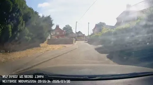
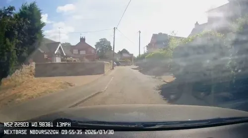
Jenneys
Farm and orchard
Large Fresh Eggs, Potatoes, carrots ,Caul, Onions, Mushrooms, Leeks, Parsnips, Cabbages, Brussels, Swedes,
Mo-Su 07:00-19:00

Museums and landmarks3
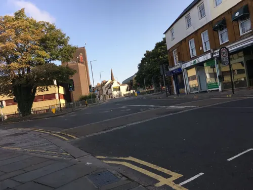
Northampton Medieval Synagogue
Monument and historic site · 3.5 mi
Synagogue in Northampton, England, UK

Parks, trails and playgrounds11


Duston Mill Meadow
Park · 2.0 mi
Nature reserve in the United Kingdom

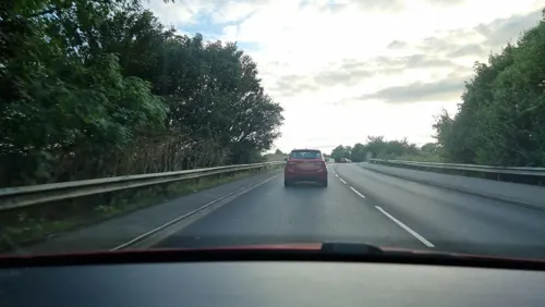
Kingsthorpe Meadow
Park · 3.5 mi
Nature reserve in the United Kingdom


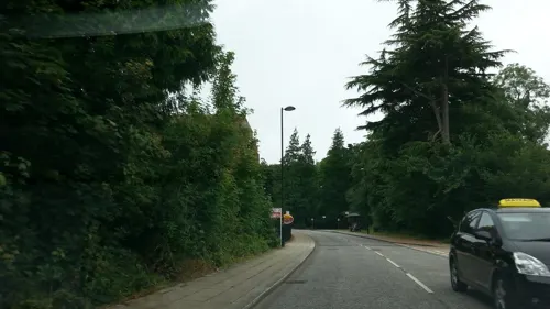


Restaurants and cafes21
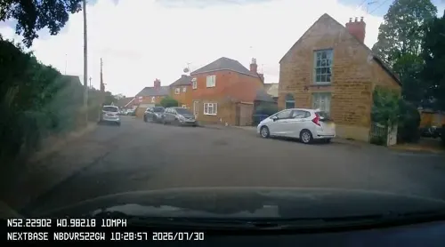
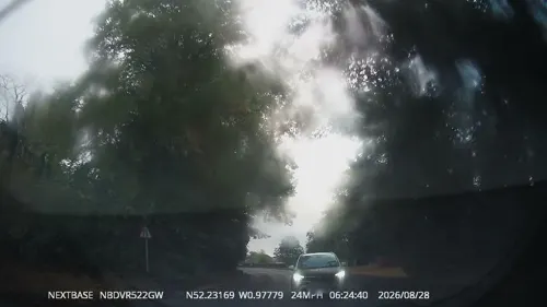
Cromwell Cottage
Bar and pub
1 High Street, Northampton
Mo-Th 11:00-23:00; Fr 11:00-24:00; Sa 09:00-24:00; Su 09:00-22:30
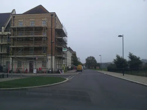
Elgars Coffee Shop
Cafe · 1.6 mi
1a High Street, Northampton
Tu,Th,Fr 09:00-14:00; Sa 09:00-11:00
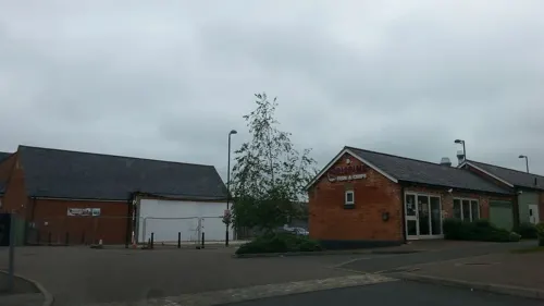
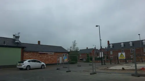

Olde Red Lion
Bar and pub · Burger, Coffee Shop, Fine Dining, Fish, Fish And Chips
15 High Street, Northampton
Tu 17:00-22:00; Su, We-Th 12:00-22:00; Fr-Sa 12:00-23:30

Amica Café
Cafe · Sandwich, Cake, Brunch · 1.6 mi
33 Latchet Lane, Northampton
We-Fr 09:00-15:30; Sa-Su 10:00-16:00

La Terraza
Restaurant · Spanish · 1.5 mi
53 Latchet Lane, Northampton
Tu-Th 18:00-21:00; Fr,Sa 12:00-22:00; Su 12:00-18:00
The Live And Let Live
Bar and pub · 0.9 mi
10 Larkhall Lane, Northampton
Mo-Tu 16:00-22:00, We 12:00-15:00,17:00-23:00,Th 16:00-23:00,...
9 more on the map.
Notable people from Kislingbury
 SurgeonEnglish electronic musician and DJPhoto: Ali Wade, CC BY-SA 4.0
- Charles WattsEnglish cricketer (1905-1985)
- Annie BallEnglish social reformer (1869–1970)
Born in Kislingbury, according to Wikidata (CC0). Each name links to its Wikipedia article.
Where to stay2
Churches and places of worship12
Saint Neophytos Greek Orthodox Church
Church · Greek Orthodox · 1.5 mi
St Crispin Drive, Northampton
Shopping2
Gas and EV charging2
Schools, colleges and libraries8
Healthcare2
Map of Kislingbury
66 places. The map loads OpenStreetMap tiles when you open it.
Getting there and nearby towns
Sywell Aerodrome (ORM) is the nearest airport with scheduled flights listed in OpenStreetMap, 9 miles away.
- Northampton 4 mi east, about 7 min by car
- Spratton 7 mi north, about 11 min by car
- Daventry 8 mi west, about 13 min by car
- West Haddon 9 mi northwest, about 14 min by car
- Potterspury 11 mi south, about 17 min by car
- Wellingborough 13 mi northeast, about 21 min by car
- Rugby 15 mi northwest, about 25 min by car
- Newport Pagnell 15 mi southeast, about 24 min by car
- Milton Keynes 16 mi southeast, about 26 min by car
- Kettering 16 mi northeast, about 25 min by car
Drive times are estimates from straight-line distance, not routes.
Towns near Kislingbury


Keep exploring
Local news
Headlines from INDB.
Reviews, tips and questions
Loading what members have shared...
Sources and licences
- GeoNames (CC BY 4.0): population, coordinates, regions and time zone
- Mapillary (see each image): photos
- OpenStreetMap contributors (ODbL 1.0): places, airports, map data
- Wikidata (CC0 1.0): elevation, founding date, time zone, website, landmarks and historic places
- Wikimedia Commons (see each image): photos
- Wikipedia (CC BY-SA 4.0): overview and history text
Photo credits
- Bugbrooke Meadow nature reserve 2, Dudley Miles, CC BY-SA 4.0
- Duston Mill Meadow 1, Dudley Miles, CC BY-SA 4.0
- Harlestone Heath south 6, Dudley Miles, CC BY-SA 4.0
- Storton's Pits 4, Dudley Miles, CC BY-SA 4.0
- All Saints Church, Northampton, Original uploader was G-Man at en.wikipedia, Public domain
- St Peter's Church, Northampton, Ian Rob, CC BY-SA 2.0
- Upton Hall Northamptonshire England, Cj1340, Public domain
- Victoria Park, Northampton, England, Cj1340, CC BY-SA 3.0
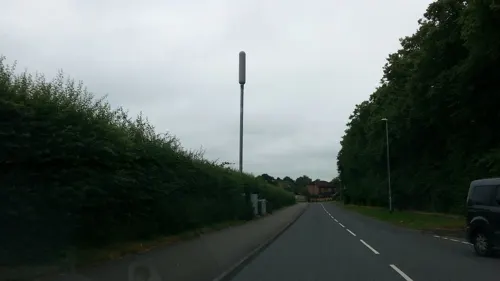
- Street-level photo, OpenFaceMapper, CC BY-SA 4.0
- Street-level photo, adam2, CC BY-SA 4.0
- Street-level photo, alexanderar, CC BY-SA 4.0
- Street-level photo, OpenFaceMapper, CC BY-SA 4.0
- Street-level photo, gness, CC BY-SA 4.0
- Street-level photo, OpenFaceMapper, CC BY-SA 4.0
- Street-level photo, adam2, CC BY-SA 4.0
- Street-level photo, OpenFaceMapper, CC BY-SA 4.0
- Street-level photo, OpenFaceMapper, CC BY-SA 4.0
- Street-level photo, OpenFaceMapper, CC BY-SA 4.0
- Street-level photo, OpenFaceMapper, CC BY-SA 4.0
- Street-level photo, adam2, CC BY-SA 4.0
- Street-level photo, OpenFaceMapper, CC BY-SA 4.0
- Street-level photo, adam2, CC BY-SA 4.0
- Street-level photo, adam2, CC BY-SA 4.0
- Street-level photo, adam2, CC BY-SA 4.0
- Street-level photo, adam2, CC BY-SA 4.0
- Street-level photo, adam2, CC BY-SA 4.0
- Street-level photo, adam2, CC BY-SA 4.0
- Street-level photo, adam2, CC BY-SA 4.0

Page built November 10, 2026. Spotted a mistake? Tell us or suggest a place.