


Potterspury, United Kingdom
Potterspury is a town of 1,453 people in England, United Kingdom.
Why visit Potterspury
Townapedia lists 1 museum or landmark, 4 parks and trails, 12 places to eat and 5 places to stay in and around town.
Highlights include Grafton Regis Meadow and Mill Crook.
Weather in Potterspury
Forecast from MET Norway (CC BY 4.0). Full forecast
About Potterspury
Potterspury is a village and civil parish in West Northamptonshire, England. The nearest major settlement is Milton Keynes, the centre of which is about 7 miles south-east. At the time of the 2011 census, the parish's population (including Furtho) was 1,453 people.
From the Wikipedia article Potterspury (this version), under CC BY-SA 4.0.
Museums and landmarks1

Parks, trails and playgrounds4

Grafton Regis Meadow
Park · 2.1 mi
Nature reserve in the United Kingdom


Restaurants and cafes12
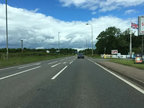
Super Sausage
Cafe · Burger, Sausage, Lamb, Scampi, Ham, Hot Dog · 0.5 mi
Watling Street, Towcester
Mo-Su 07:30-14:30; PH off




Where to stay5


More about Potterspury
Geography
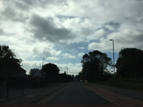
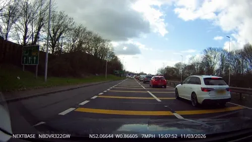
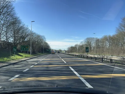
Potterspury is on the A5 road, formerly the Roman road of Watling Street between Towcester six miles to the north and Stony Stratford a mile to the south. The village sits at the edge of Whittlewood Forest, a relatively large ancient woodland to the west that was part of the original estate of the Duke of Grafton. Much of this is an SSSI, recognising its biodiversity and providing strong protection against built environment encroachment. Parts are open to the public in the Spring but most footpaths and bridleways adjoin the area, some linking into the Chiltern Hills (Chilterns).
Stony Stratford and Towcester have nearby substantial shopping areas.
Nearby villages comprise Wicken, Deanshanger, Grafton Regis, Alderton and Yardley Gobion.
Education
Educational provision in the village includes primary education at John Hellins Primary School, with Potterspury Lodge School, providing provision for children with special educaitonal needs. John Hellins was a mathematician and astronomer who, as parish priest at Potterspury, founded and taught in the village school in 1817.
From the Wikipedia article Potterspury, under CC BY-SA 4.0.
Notable people from Potterspury
- George Claridge DruceEnglish botanist (1850–1932)
Born in Potterspury, according to Wikidata (CC0). Each name links to its Wikipedia article.
Churches and places of worship8
Yardley Gobion United Reformed Church
Church · 1.0 mi
Chestnut Road, Yardley Gobion
Schools, colleges and libraries4
Map of Potterspury
34 places. The map loads OpenStreetMap tiles when you open it.
Getting there and nearby towns
Sywell Aerodrome (ORM) is the nearest airport with scheduled flights listed in OpenStreetMap, 16 miles away.
- Milton Keynes 7 mi southeast, about 11 min by car
- Buckingham 7 mi southwest, about 11 min by car
- Newport Pagnell 7 mi east, about 12 min by car
- Bletchley 9 mi southeast, about 15 min by car
- Tingewick 9 mi southwest, about 15 min by car
- Brackley 11 mi west, about 18 min by car
- Northampton 12 mi north, about 19 min by car
- Leighton Buzzard 15 mi southeast, about 25 min by car
- Daventry 16 mi northwest, about 26 min by car
- Bicester 17 mi southwest, about 27 min by car
Drive times are estimates from straight-line distance, not routes.
Towns near Potterspury


Keep exploring
Local news
Headlines from INDB.
Reviews, tips and questions
Loading what members have shared...
Sources and licences
- GeoNames (CC BY 4.0): population, coordinates, regions and time zone
- Mapillary (see each image): photos
- OpenStreetMap contributors (ODbL 1.0): places, airports, map data
- Wikidata (CC0 1.0): elevation, founding date, time zone, website, landmarks and historic places
- Wikimedia Commons (see each image): photos
- Wikipedia (CC BY-SA 4.0): overview and history text
Photo credits
- Grafton Regis Meadow, Dudley Miles, CC BY-SA 4.0
- Stony Stratford Church, Roland Turner, CC BY-SA 2.0
- St Bartholomew's Church, Furtho, Philip Jeffrey, CC BY-SA 2.0
- Potterspury Lodge School front, Simon McClure, Public domain
- Street-level photo, southglos, CC BY-SA 4.0
- Street-level photo, chrisw100, CC BY-SA 4.0
- Street-level photo, photomaps, CC BY-SA 4.0
- Street-level photo, tallguy, CC BY-SA 4.0
- Street-level photo, southglos, CC BY-SA 4.0
- Street-level photo, fabing, CC BY-SA 4.0
- Street-level photo, tallguy, CC BY-SA 4.0
- Street-level photo, fabing, CC BY-SA 4.0
Page built November 10, 2026. Spotted a mistake? Tell us or suggest a place.