


Why visit Lechlade
Townapedia lists 56 museums and landmarks, 5 parks and trails, 12 places to eat, 4 places to stay and 6 attractions in and around town.
Highlights include Bloomers Hole Footbridge, Eaton Footbridge, Buscot Park and Kelmscott Manor.
Weather in Lechlade
Forecast from MET Norway (CC BY 4.0). Full forecast
About Lechlade
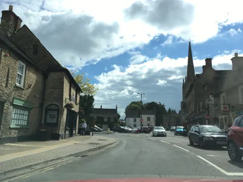
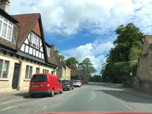
Lechlade () is a town at the edge of the Cotswolds in Gloucestershire, England, 55 miles (89 km) south of Birmingham and 68 miles (109 km) west of London. It is the highest point at which the River Thames is navigable, although there is a right of navigation that continues south-west into Cricklade, in the neighbouring county of Wiltshire. The town is named after the River Leach that joins the Thames near The Trout Inn and St. John's Bridge.
From the Wikipedia article Lechlade (this version), under CC BY-SA 4.0.
Things to do6


Hannington Bridge
Bridge · 3.3 mi
Bridge in Gloucestershire/Wiltshire, UK
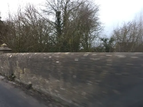

Buscot Lock
Bridge · 1.4 mi
Lock on the River Thames in Oxfordshire, England
Museums and landmarks56

Buscot Park
Museum · 2.4 mi
Country house in Oxfordshire, England, UK

Kelmscott Manor
Museum · 2.3 mi
Grade I listed historic house museum in West Oxfordshire, England, UK
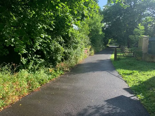
1 Butlers Court Cottages
Monument and historic site · 0.5 mi
1 Butlers Court Cottages Fairford Road, Lechlade
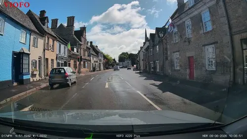
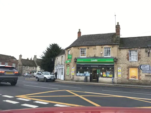
1A St John's Street
Monument and historic site
Burford Street/St John's Street, Lechlade
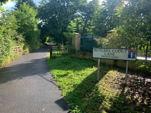
2 Butlers Court Cottages
Monument and historic site · 0.5 mi
2 Butlers Court Cottages Fairford Road, Lechlade
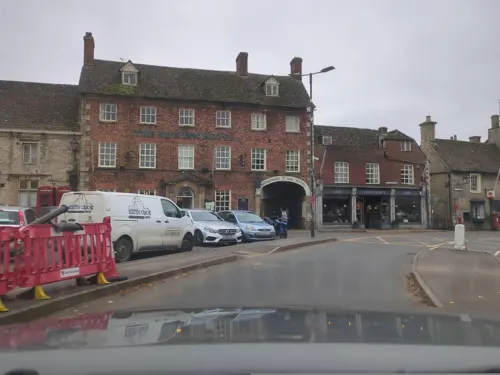
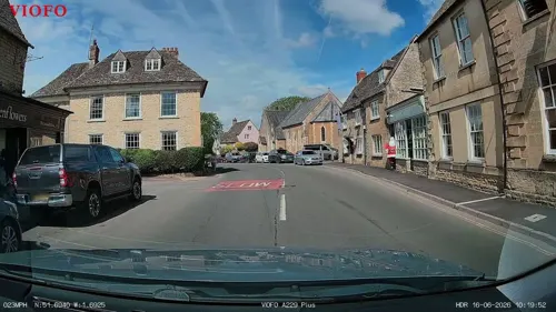

Swinford Museum
Museum · 3.3 mi
Museum in Filkins, West Oxfordshire, England, UK

44 more on the map.
Parks, trails and playgrounds5



Restaurants and cafes12
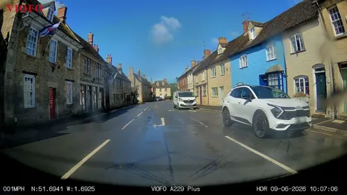
Monica's Plaice
Restaurant · Burger, Fish And Chips
High Street, Lechlade
Mo-Th 11:30-14:00,16:30-21:30; Fr 11:30-22:00; Sa 24/7; Su 12:00-21:30
The Sourdough Revolution
Bakery
2 High Street, Lechlade
We,Fr-Sa 09:00-14:30,17:00-21:00; Mo-Tu,Th 09:00-14:30; Su 08:30-15:00




History
A Neolithic cursus was discovered from cropmarks on aerial photographs was identified in 1943. There are several archaeological remains of dwellings from the Iron Age and Roman periods, which have now been scheduled as an ancient monument.
William the Conqueror gave the manor of Lechlade to Henry de Ferrers, who had accompanied him to England in 1066, and the manor is mentioned in the Domesday Book. A charter granting market to the town was passed in 1210. Lechlade Priory was founded in the early 13th century and lasted until 1472. The town developed as a trading centre linked by the river, canal, roads and railway. The town's railway station opened in 1873 and closed in 1962. The development of RAF Fairford and RAF Brize Norton following World War II increased local employment and the need for housing.
From the History section of Lechlade on Wikipedia, under CC BY-SA 4.0.
More about Lechlade
Geography
The geology of the area consists of Alluvium, Oxford Clay and river gravels. The land is generally fairly flat and low lying. It is surrounded by lakes created from disused gravel extraction sites, forming parts of the Cotswold Water Park and several have now been designated as Sites of Special Scientific Interest and nature reserves. The Edward Richardson & Phyllis Amey nature reserve consists of marsh and reedbeds which attract dragonflies and birds such as grey heron and great crested grebe. At Roundhouse Lake common visitors are Eurasian wigeon, red-crested pochard, common goldeneye, common pochard and tufted duck.
Economy
The town is a popular venue for tourism and river-based activities.
There are several pubs, some antique shops, a convenience store, food outlets, a garden centre and a Christmas shop.
Arts and culture
Lechlade has hosted a music festival since 2011. In 2015 the festival's headline act was Status Quo. The festival was cancelled in 2023 due to poor weather causing the ground to be too soft, which resulted in the Lechlade Festival company going into liquidation.
Lechlade has a number of youth activities, most of them centred on the Memorial Hall and the adjacent Lechlade Pavilion Hall. Behind the Town Hall are large playing fields, an astro turf pitch, a skate park and a playground. The memorial hall was rebuilt after a fire in 2016.
1970 Squadron Air Training Corps was founded in the town in 1997. The squadron's membership consisted of young people from Lechlade and neighbouring towns such as Fairford and Faringdon. The unit has disbanded and all cadets transferred, many attending the group in Highworth. The 1st Lechlade Scout Group can trace its origins back to 1915 when Robert Baden-Powell inspected Scouts from Lechlade and the surrounding area.
From the Wikipedia article Lechlade, under CC BY-SA 4.0.
Notable people from Lechlade
- Peggy CrippsBritish writer(1921-2006)
- Thomas PrenceGovernor of Plymouth Colony
- Reginald ArkellBritish writer (1882–1959)
Born in Lechlade, according to Wikidata (CC0). Each name links to its Wikipedia article.
Where to stay4
Churches and places of worship9
Shopping7
Schools, colleges and libraries2
Healthcare1
Map of Lechlade
102 places. The map loads OpenStreetMap tiles when you open it.
Getting there and nearby towns
RAF Fairford (FFD) is the nearest airport with scheduled flights listed in OpenStreetMap, 4 miles away.
- Carterton 6 mi northeast, about 10 min by car
- Broad Blunsdon 7 mi southwest, about 11 min by car
- Aston 8 mi east, about 13 min by car
- Burford 8 mi north, about 13 min by car
- Minster Lovell 9 mi northeast, about 15 min by car
- Swindon 10 mi south, about 16 min by car
- Ducklington 10 mi northeast, about 16 min by car
- Wanborough 10 mi south, about 17 min by car
- Witney 11 mi northeast, about 17 min by car
- Cirencester 12 mi west, about 20 min by car
Drive times are estimates from straight-line distance, not routes.
Towns near Lechlade


Keep exploring
Local news
Headlines from INDB.
Reviews, tips and questions
Loading what members have shared...
Sources and licences
- GeoNames (CC BY 4.0): population, coordinates, regions and time zone
- Mapillary (see each image): photos
- OpenStreetMap contributors (ODbL 1.0): places, airports, map data
- Wikidata (CC0 1.0): elevation, founding date, time zone, website, landmarks and historic places
- Wikimedia Commons (see each image): photos
- Wikipedia (CC BY-SA 4.0): overview and history text
Photo credits
- Lechlade library and church (25132912735), JuliaC2006 from Rochester, UK, CC BY 2.0
- Bloomers Hole Footbridge, Pierre Terre, CC BY-SA 2.0
- Eaton Footbridge, Pierre Terre, CC BY-SA 2.0
- Halfpenny Bridge, Lechlade, Martin Clark, CC BY-SA 2.0
- Hannington Bridge, Brian Robert Marshall, CC BY-SA 2.0
- Buscot Park 02, Rictor Norton & David Allen from London, United Kingdom, CC BY 2.0
- KelmscottManor1, Boerkevitz at English Wikipedia, CC BY-SA 3.0
- Langford StMatthew SE, Motacilla, CC BY-SA 3.0
- Lechlade Church (Saint Lawrence) (44505020612), Hugh Llewelyn from Keynsham, UK, CC BY-SA 2.0
- St John the Baptist Inglesham, Jonathan Billinger, CC BY-SA 2.0
- Trout Inn, Lechlade 01, Rodw, CC BY-SA 3.0
- LittleFaringdon StMargaret NW, Motacilla, CC BY-SA 3.0
- Street-level photo, RyanBush, CC BY-SA 4.0
- Street-level photo, RyanBush, CC BY-SA 4.0
- Street-level photo, swinetown, CC BY-SA 4.0
- Street-level photo, RyanBush, CC BY-SA 4.0
- Street-level photo, RyanBush, CC BY-SA 4.0
- Street-level photo, southglos, CC BY-SA 4.0
- Street-level photo, southglos, CC BY-SA 4.0
- Street-level photo, RyanBush, CC BY-SA 4.0
- Street-level photo, southglos, CC BY-SA 4.0
- Street-level photo, southglos, CC BY-SA 4.0
- Street-level photo, swinetown, CC BY-SA 4.0
- Street-level photo, southglos, CC BY-SA 4.0
- Street-level photo, southglos, CC BY-SA 4.0
- Street-level photo, jacobgriff6, CC BY-SA 4.0
- Street-level photo, jacobgriff6, CC BY-SA 4.0
- Street-level photo, swinetown, CC BY-SA 4.0
- Street-level photo, southglos, CC BY-SA 4.0
- Street-level photo, RyanBush, CC BY-SA 4.0
- Street-level photo, RyanBush, CC BY-SA 4.0
- Street-level photo, southglos, CC BY-SA 4.0
- Street-level photo, RyanBush, CC BY-SA 4.0
- Street-level photo, southglos, CC BY-SA 4.0


Page built November 10, 2026. Spotted a mistake? Tell us or suggest a place.