

Broad Blunsdon, United Kingdom
Broad Blunsdon is a town of 1,803 people in England, United Kingdom.
Why visit Broad Blunsdon
Townapedia lists 3 museums and landmarks, 11 parks and trails, 23 places to eat, 2 places to stay and 5 attractions in and around town.
Highlights include Castle Eaton Bridge, Eysey Footbridge, Castle Hill and Mouldon Hill Country Park.
Weather in Broad Blunsdon
Forecast from MET Norway (CC BY 4.0). Full forecast
About Broad Blunsdon
Blunsdon is a civil parish in the Borough of Swindon, in Wiltshire, England, about 4 miles (6 km) north of the centre of Swindon, with the A419 forming its southern boundary. Its main settlement is the village of Broad Blunsdon, with Lower Blunsdon nearby; the hamlet of Broadbush is now contiguous with Broad Blunsdon.
From the Wikipedia article Blunsdon (this version), under CC BY-SA 4.0.
Things to do5
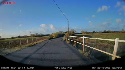
Castle Eaton Bridge
Bridge · 3.3 mi
Road bridge in Castle Eaton, Wiltshire, England, UK


Museums and landmarks3

Parks, trails and playgrounds11
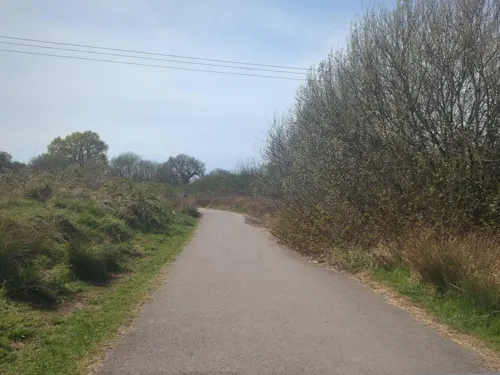
Mouldon Hill Country Park
Park · 2.7 mi
Country park in Wiltshire, England, UK



Restaurants and cafes23
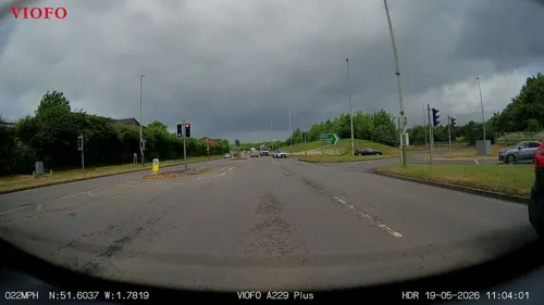
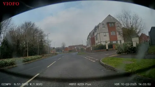
Blunsdon Arms
Bar and pub · 1.3 mi
Lady Lane, Swindon
Mo-Th 10:00-24:00; Fr 10:00-00:30; Sa 09:00-00:30; Su 09:00-24:00

Starbucks
Cafe · Coffee Shop · 1.4 mi
Thamesdown Drive, Swindon
Mo-Fr 06:15-22:00; Sa 07:00-21:00; Su 07:30-21:00


11 more on the map.
History
Blunsdon has been inhabited at least since the Iron Age. Castle Hill is the site of a hillfort and is a scheduled monument. In Roman times, a travellers' resting place existed on the site of the present-day Cold Harbour public house. The main A419 road follow the course of a Roman road known as Ermin Way that linked the historic Roman towns of Gloucester (Glevum) and Silchester (Calleva Atrebatum), via Cirencester (Corinium).
The Domesday Book of 1086 records a manor of Bluntesdone, comprising three settlements across Blunsdon Hill on either side of Ermin Street, with altogether ten households and a total value of £5 17s. Broad Blunsdon is first mentioned as Bradebluntesdone in 1234, in the "Calendar of the Feet of Fines for Wiltshire for 1195–1272".
The L-shaped manor house, just west of the church, was built and enlarged in the 17th century; it has two fireplaces from c.1600, and a staircase also from that century.
In 1870, Broad Blunsdon was recorded as having a population of 806 in 198 households, and covering 2,260 acres, and was valued at £2,194. It lay in the chapelry of Highworth. The village included the tithing of Bury Blunsdon, population 17, now marked only by the farms of upper and lower Burytown.
Two areas of Broad Blunsdon village, one encompassing the church, were designated as a conservation area in 1990.
From the History section of Blunsdon on Wikipedia, under CC BY-SA 4.0.
Where to stay2
Churches and places of worship6
Shopping2
Gas and EV charging4
Schools, colleges and libraries10
Swindon Academy Primary (Alton Close Campus)
School · 1.4 mi
Alton Close, Swindon
Healthcare2
Map of Broad Blunsdon
68 places. The map loads OpenStreetMap tiles when you open it.
Getting there and nearby towns
RAF Fairford (FFD) is the nearest airport with scheduled flights listed in OpenStreetMap, 5 miles away.
- Swindon 4 mi south, about 6 min by car
- Lydiard Millicent 5 mi southwest, about 8 min by car
- Royal Wootton Bassett 7 mi southwest, about 12 min by car
- Cirencester 11 mi northwest, about 18 min by car
- Carterton 13 mi northeast, about 21 min by car
- Ramsbury 14 mi southeast, about 22 min by car
- Wantage 15 mi east, about 25 min by car
- Calne 16 mi southwest, about 25 min by car
- Witney 17 mi northeast, about 28 min by car
- Chippenham 18 mi southwest, about 29 min by car
Drive times are estimates from straight-line distance, not routes.
Towns near Broad Blunsdon


Keep exploring
Local news
Headlines from INDB.
Reviews, tips and questions
Loading what members have shared...
Sources and licences
- GeoNames (CC BY 4.0): population, coordinates, regions and time zone
- Mapillary (see each image): photos
- OpenStreetMap contributors (ODbL 1.0): places, airports, map data
- Wikidata (CC0 1.0): elevation, founding date, time zone, website, landmarks and historic places
- Wikimedia Commons (see each image): photos
- Wikipedia (CC BY-SA 4.0): overview and history text
Photo credits
- St. Leonards, Stanton Fitzwarren1, ken goodchild from Swindon, England, CC BY-SA 2.0
- Street-level photo, RyanBush, CC BY-SA 4.0
- Street-level photo, RyanBush, CC BY-SA 4.0
- Street-level photo, RyanBush, CC BY-SA 4.0
- Street-level photo, swinetown, CC BY-SA 4.0
- Street-level photo, RyanBush, CC BY-SA 4.0
- Street-level photo, RyanBush, CC BY-SA 4.0
- Street-level photo, swinetown, CC BY-SA 4.0
- Street-level photo, swinetown, CC BY-SA 4.0
- Street-level photo, RyanBush, CC BY-SA 4.0
- Street-level photo, RyanBush, CC BY-SA 4.0
- Street-level photo, RyanBush, CC BY-SA 4.0
- Street-level photo, RyanBush, CC BY-SA 4.0
- Street-level photo, RyanBush, CC BY-SA 4.0
Page built November 10, 2026. Spotted a mistake? Tell us or suggest a place.