


Why visit Leyburn
Townapedia lists 5 museums and landmarks, 3 parks and trails, 18 places to eat, 9 places to stay and 5 attractions in and around town.
Highlights include Middleham Bridge, Ulshaw Bridge, Coverham Abbey and Middleham Hoard.
Weather in Leyburn
Forecast from MET Norway (CC BY 4.0). Full forecast
About Leyburn
Leyburn is a market town and civil parish in North Yorkshire, England, sitting above the northern bank of the River Ure in Wensleydale. Historically in the North Riding of Yorkshire, the name was derived from 'Ley' or 'Le' (clearing), and 'burn' (stream), meaning clearing by the stream. Leyburn had a population of 1,844 at the 2001 census increasing to 2,183 at the 2011 Census. The estimated population in 2015 was 2,190.
From the Wikipedia article Leyburn (this version), under CC BY-SA 4.0.
Photos of Leyburn


Things to do5
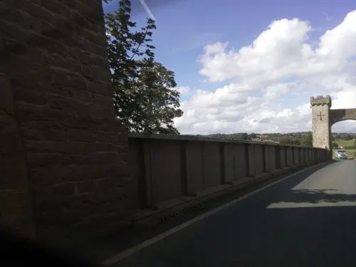
Middleham Bridge
Bridge · 1.2 mi
Bridge in Middleham, Richmondshire, North Yorkshire, England, UK
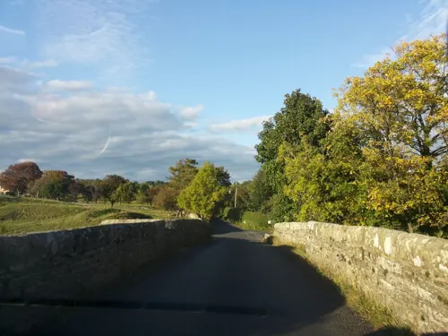
Ulshaw Bridge
Bridge · 2.9 mi
Bridge in Thornton Steward, North Yorkshire, England, UK
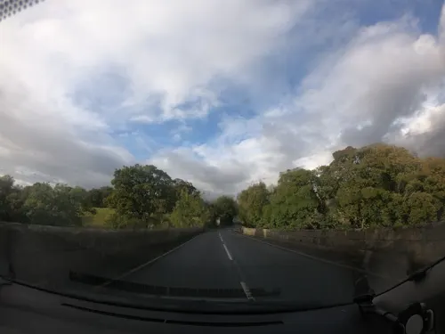
Wensley Bridge
Bridge · 1.4 mi
Road bridge in Wensley, Richmondshire, North Yorkshire, England, UK

Coverham Bridge
Bridge · 2.7 mi
Bridge in Coverham, North Yorkshire, England, UK

Museums and landmarks5

Coverham Abbey
Monument and historic site · 2.6 mi
Abbey in Coverham, North Yorkshire, England, UK

Middleham Hoard
Monument and historic site · 2.1 mi
Coin hoard in Britain
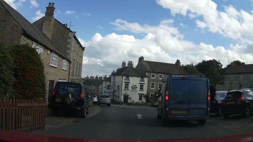
Middleham market cross
Monument and historic site · 2.0 mi
Monumental cross in Middleham, Richmondshire, England, UK


Parks, trails and playgrounds3


Leyburn Old Glebe
Park · 0.8 mi
Nature reserve in North Yorkshire, England, UK
Restaurants and cafes18
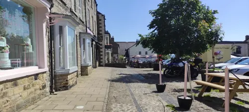

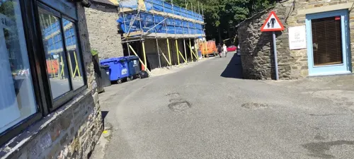
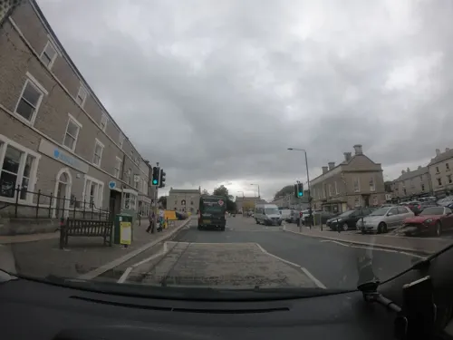
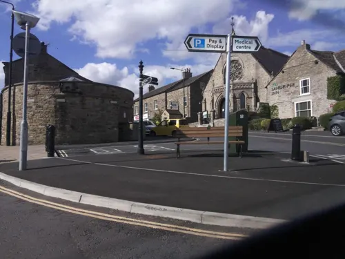

Wensleydale Brewery
Brewery and winery · 0.5 mi
Mo-Th 08:00-17:00; Fr 08:00-21:00; Sa 09:30-21:00; Su 11:00-18:00


6 more on the map.
History
Leyburn was mentioned in the Domesday Book of 1086 but had no recorded population. The much later growth of Leyburn as a major hub is linked to the decline in fortunes of nearby Wensley, which had prominence as the only market town in Wensleydale; the village had received its Royal Charter in 1202 but declined dramatically after being devastated by the plague in 1563. In fact, the once important and prosperous town was mostly abandoned. Leyburn's stature increased by the 17th century when a market charter was granted by Charles II in 1686. Leyburn Town Hall was built in 1856 by Lord Bolton, and now houses several shops. In 1870-72 John Marius Wilson's Imperial Gazetteer of England and Wales described Leyburn.
From the History section of Leyburn on Wikipedia, under CC BY-SA 4.0.
More about Leyburn
Geography
Leyburn is situated approximately 19 miles (31 km) west of the county town Northallerton, on the northern banks of the River Ure, near to the eastern border of the Yorkshire Dales National Park, at the edge of a valley or dale known as Wensleydale, which takes its name from the village of Wensley, 1.8 miles (2.9 km) to the west. Leyburn is close to a meadow nature reserve called Leyburn Old Glebe.
Economy
Leyburn is a gateway town to the Yorkshire Dales National Park and relies heavily on tourism, the national park attracted 520,000 overnight visitors in 2017.
The market place is home to several shops, pubs, and restaurants, including national retailers Co-op Food and One Stop, as well as notable independent businesses such as the department store Milners of Leyburn, which opened in 1882 and is currently in its fifth generation of family ownership, and Campbell's of Leyburn, a grocers dating back to 1868. A traditional outdoor market is held in the square every Friday, along with a livestock auction mart that started in 1918.Other businesses and industries located outside the market place include a local brewery, a chocolate maker and a Royal Mail delivery office.
Tennants Auctioneers, situated on Harmby road, is one of the largest auction houses in the UK, holding more than 80 sales each year and attracting buyers and sellers from around the world. Adjacent to Tennants is The Garden Rooms, a multi-purpose events and exhibitions venue with a capacity for 640 people.
Arts and culture
The town's football club, Leyburn FC, play in the Wensleydale Creamery League, an affiliate league of the North Riding County Football Association, another local team, Leyburn United FC, once reached the Harrogate and District Football League, until their resignation in 2016. United no longer have senior representation and has rebranded as Leyburn United JFC, for players aged 4 to 14.
Wensleydale RUFC, a rugby union club based in Leyburn currently play in Yorkshire 2, having been promoted from Yorkshire 3 as champions in the 2018–19 season.
Leyburn once had a golf club, founded in 1895 and lasting until the late 1950s.
The Tour de Yorkshire in May 2018 started in Richmond and finished in Scarborough, the cyclists travelled through Leyburn. The town was also due to be the finishing point for stage 2 of the 2020 Tour de Yorkshire, however, on 17 March it was announced that the event would be postponed due to the COVID-19 pandemic.
The torch relay for the 2012 Summer Olympics held in London passed through Leyburn.
Education
The town's secondary school, The Wensleydale School, has just over 500 pupils, with a catchment are spanning through most of Wensleydale. The school previously had a sixth form, however this was closed in August 2025.
In 2006, Wensleydale School became a Specialist Science College under a programme discontinued in 2010.
The town's primary school is Leyburn Community Primary School, from where a vast majority of the pupils proceed to the Wensleydale School for secondary education, in 2017 the school became an academy. Leyburn's second primary school, St Peter and St Paul RC primary school dated back to 1835, but in 2011 it was closed due to financially unviable pupil numbers, having just 15 pupils in its last academic year.
From the Wikipedia article Leyburn, under CC BY-SA 4.0.
Notable people from Leyburn
 Liam DarvilleEnglish association football player (born 1990)Photo: Mattythewhite, CC BY-SA 3.0
- Marmaduke WyvillBritish chess player and MP (1815-1896)
- Derrick ClarkEnglish footballer (1935-1985)
- Tom BurnettEnglish footballer (1913-1986)
- Charles Herbert KitsonBritish musician
Born in Leyburn, according to Wikidata (CC0). Each name links to its Wikipedia article.
Where to stay9
Churches and places of worship15
Shopping10
Gas and EV charging1
Schools, colleges and libraries3
Healthcare1
Map of Leyburn
70 places. The map loads OpenStreetMap tiles when you open it.
Getting there and nearby towns
Teesside International Airport (MME) is the nearest airport with scheduled flights listed in OpenStreetMap, 21 miles away.
- Masham 9 mi southeast, about 15 min by car
- Scorton 11 mi northeast, about 17 min by car
- Northallerton 16 mi east, about 26 min by car
- Pateley Bridge 16 mi south, about 25 min by car
- Ripon 17 mi southeast, about 28 min by car
- Brompton 17 mi east, about 27 min by car
- Gainford 17 mi north, about 27 min by car
- Grassington 18 mi south, about 29 min by car
- Darlington 19 mi northeast, about 30 min by car
- Staindrop 19 mi north, about 30 min by car
Drive times are estimates from straight-line distance, not routes.
Towns near Leyburn


Keep exploring
Local news
Headlines from INDB.
Reviews, tips and questions
Loading what members have shared...
Sources and licences
- GeoNames (CC BY 4.0): population, coordinates, regions and time zone
- Mapillary (see each image): photos
- OpenStreetMap contributors (ODbL 1.0): places, airports, map data
- Wikidata (CC0 1.0): elevation, founding date, time zone, website, landmarks and historic places
- Wikimedia Commons (see each image): photos
- Wikipedia (CC BY-SA 4.0): overview and history text
Photo credits
- Leyburn, Anthony Harrison, CC BY-SA 2.0
- War Memorial, Leyburn, The joy of all things, CC BY-SA 4.0
- Town Hall, Leyburn, The joy of all things, CC BY-SA 4.0
- Fountain in town centre, Leyburn, The joy of all things, CC BY-SA 4.0
- Coverham Abbey, Chris Heaton, CC BY-SA 2.0
- Selection of coins from the Middleham Hoard . Taken from the side., Photographed by: York Museums Trust Staff, CC BY-SA 3.0
- Forbidden Corner 2, WhaleyTim, CC BY-SA 3.0
- Holy Trinity Church, Coverham (04), Chris06, CC BY-SA 4.0
- Wensley Church, Uncredited, CC BY-SA 2.0
- St Matthew Leyburn, The joy of all things, CC BY-SA 4.0
- Bolton Arms Hotel, Leyburn, LeyburnSheep, CC BY-SA 4.0
- Leyburn Old Glebe in Spring 2018, Regularuk, CC BY-SA 4.0
- Close-up of the inscription (OpenBenches 1238), Anonymous Unknown author, CC BY-SA 4.0
- Long shot of the bench (OpenBenches 1238-1), Anonymous Unknown author, CC BY-SA 4.0
- Long shot of the bench (OpenBenches 1197), Anonymous Unknown author, CC BY-SA 4.0
- Close-up of the inscription (OpenBenches 1237), Anonymous Unknown author, CC BY-SA 4.0
- Street-level photo, lamaar639, CC BY-SA 4.0
- Street-level photo, jethro10, CC BY-SA 4.0
- Street-level photo, jethro10, CC BY-SA 4.0
- Street-level photo, southglos, CC BY-SA 4.0
- Street-level photo, southglos, CC BY-SA 4.0
- Street-level photo, southglos, CC BY-SA 4.0
- Street-level photo, southglos, CC BY-SA 4.0
- Street-level photo, lamaar639, CC BY-SA 4.0
- Street-level photo, endszbrxns, CC BY-SA 4.0
- Street-level photo, southglos, CC BY-SA 4.0
- Street-level photo, southglos, CC BY-SA 4.0
- Street-level photo, jethro10, CC BY-SA 4.0
- Street-level photo, jethro10, CC BY-SA 4.0
- Street-level photo, southglos, CC BY-SA 4.0
- Street-level photo, jethro10, CC BY-SA 4.0
- Street-level photo, southglos, CC BY-SA 4.0
- Street-level photo, southglos, CC BY-SA 4.0
- Street-level photo, lamaar639, CC BY-SA 4.0
- Street-level photo, southglos, CC BY-SA 4.0
- Street-level photo, lamaar639, CC BY-SA 4.0
- Street-level photo, lamaar639, CC BY-SA 4.0
- Street-level photo, southglos, CC BY-SA 4.0


Page built November 10, 2026. Spotted a mistake? Tell us or suggest a place.