


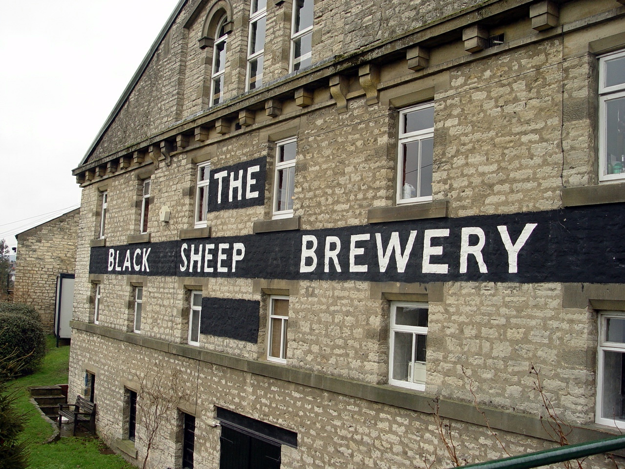
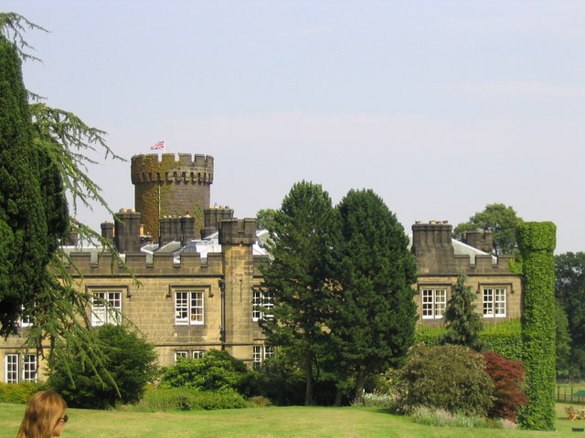


Why visit Masham
Townapedia lists 19 museums and landmarks, 5 parks and trails, 18 places to eat, 4 places to stay and 2 attractions in and around town.
Highlights include Masham Bridge, Tanfield Bridge, Happy House and Market Cross.
Weather in Masham
Forecast from MET Norway (CC BY 4.0). Full forecast
About Masham
Masham is a market town and civil parish in North Yorkshire, England. It had a population of 1,205 at the 2011 census.
From the Wikipedia article Masham (this version), under CC BY-SA 4.0.
Things to do2
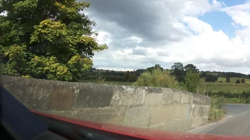
Masham Bridge
Bridge
Bridge in Masham, Harrogate, North Yorkshire, England, UK
Tanfield Bridge
Bridge · 3.1 mi
Road bridge in West Tanfield, Hambleton, North Yorkshire, England, UK
Museums and landmarks19
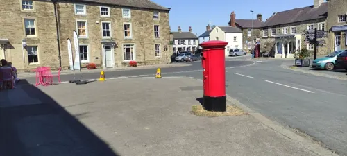

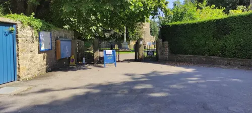
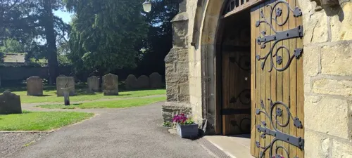

7 more on the map.
Parks, trails and playgrounds5

Hackfall
Park · 2.4 mi
Historic woodland park near Grewelthorpe, Harrogate District, North Yorkshire, England, UK




Restaurants and cafes18
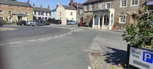
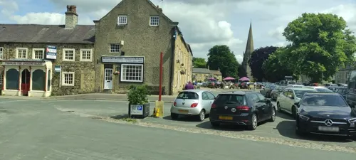

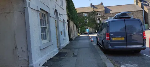

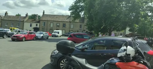


6 more on the map.
History
The Romans had a presence here, but the first permanent settlers were the Angles. Around 900 AD the Vikings invaded, burning and laying waste to the church. They also introduced sheep farming, for which the town is still known.
Masham was historically a large parish in the North Riding of Yorkshire. As well as the town of Masham the parish included the townships of Burton-on-Yore, Ellingstring, Ellington High and Low, Fearby, Healey with Sutton, Ilton cum Pott and Swinton. In 1866 the townships became separate civil parishes. Masham Moor was an area of moorland to the west of the parish bordering the West Riding, common to the parishes of Masham and East Witton. It was divided between the parishes of Healey, Ilton cum Pott and Colsterdale in 1934.
The area of the ancient parish, except Burton-on-Yore, was known as Mashamshire from the 12th century or earlier.
Read more of the history
St Mary's Church was most likely founded in the seventh century and stood somewhere near the present town hall on what used to be known as Cockpit Hill. The graveyard yielded 36 burials in a recent excavation. The present church – while having some Anglo-Saxon stonework and the stump of an eighth-century prayer cross – is mainly Norman with fifteenth-century additions. Masham was given to York Minster in the medieval period but, as the archbishop did not wish to make the long journey north to oversee the town's affairs, the parish was designated a peculiar.
During the Middle Ages, Masham developed as a small town with milling, mining, cloth making and tanning industries. The town received its first market charter in 1251. Masham's importance as a major sheep market is the reason for the large market place and its Georgian houses. The market originally thrived because of its nearness to Jervaulx and Fountains Abbeys, with their large flocks of sheep.
From 1875 the town was served by the Masham branch of the North Eastern Railway. Passenger services were stopped in December 1930, with goods traffic continuing until 1963. The station was across the River Ure at Low Burton.
The naturalist Charles Hedley (1862–1926) was born in Masham, where his father, the Rev. Canon Thomas Hedley, was vicar.
On 5 July 2014 the Tour de France Stage 1 from Leeds to Harrogate passed through the town.
From the History section of Masham on Wikipedia, under CC BY-SA 4.0.
Notable people from Masham
- Walter CrawleyBritish tennis player and entomologist (1880-1940)
- Gabriela Cunninghame GrahamBritish writer
- Thomas CarterBritish ornithologist and pastoralist (1863-1931)
- Ernest DeightonBritish flying ace
- Mary Elizabeth CarterEnglish writer (1853-1935)
Born in Masham, according to Wikidata (CC0). Each name links to its Wikipedia article.
Where to stay4
Churches and places of worship10
Shopping6
Gas and EV charging1
Schools, colleges and libraries2
Healthcare1
Map of Masham
68 places. The map loads OpenStreetMap tiles when you open it.
Getting there and nearby towns
Teesside International Airport (MME) is the nearest airport with scheduled flights listed in OpenStreetMap, 22 miles away.
- Ripon 8 mi southeast, about 13 min by car
- Pateley Bridge 10 mi southwest, about 17 min by car
- Northallerton 12 mi northeast, about 19 min by car
- Scorton 12 mi north, about 20 min by car
- Harrogate 17 mi south, about 27 min by car
- Knaresborough 17 mi southeast, about 27 min by car
- Darlington 21 mi north, about 34 min by car
- Ilkley 22 mi south, about 35 min by car
- Otley 22 mi south, about 35 min by car
- Yarm 23 mi northeast, about 37 min by car
Drive times are estimates from straight-line distance, not routes.
Towns near Masham


Keep exploring
Local news
Headlines from INDB.
Reviews, tips and questions
Loading what members have shared...
Sources and licences
- GeoNames (CC BY 4.0): population, coordinates, regions and time zone
- Mapillary (see each image): photos
- OpenStreetMap contributors (ODbL 1.0): places, airports, map data
- Wikidata (CC0 1.0): elevation, founding date, time zone, website, landmarks and historic places
- Wikimedia Commons (see each image): photos
- Wikipedia (CC BY-SA 4.0): overview and history text
Photo credits
- Masham, Jamesfcarter, CC BY-SA 3.0
- Hack Fall Wood 4373094 62fa2151, Alan Bate, CC BY-SA 2.0
- Black Sheep Brewery, Jpbarrass at English Wikipedia, Public domain
- Swinton Park Hotel, Michael King, CC BY-SA 2.0
- Market Cross, Masham, Yorkshire, Rosser1954, CC BY-SA 4.0
- Masham (42688167052), Amanda Slater from Coventry, West Midlands, UK, CC BY-SA 2.0
- Pinguicula vulgaris var. macroceras (flower), Alpsdake, CC BY-SA 4.0
- Street-level photo, jethro10, CC BY-SA 4.0
- Street-level photo, jethro10, CC BY-SA 4.0
- Street-level photo, jethro10, CC BY-SA 4.0
- Street-level photo, southglos, CC BY-SA 4.0
- Street-level photo, southglos, CC BY-SA 4.0
- Street-level photo, jethro10, CC BY-SA 4.0
- Street-level photo, southglos, CC BY-SA 4.0
- Street-level photo, jethro10, CC BY-SA 4.0
- Street-level photo, jethro10, CC BY-SA 4.0
- Street-level photo, southglos, CC BY-SA 4.0
- Street-level photo, jethro10, CC BY-SA 4.0
- Street-level photo, jethro10, CC BY-SA 4.0
- Street-level photo, southglos, CC BY-SA 4.0
- Street-level photo, jethro10, CC BY-SA 4.0
- Street-level photo, jethro10, CC BY-SA 4.0
Page built November 10, 2026. Spotted a mistake? Tell us or suggest a place.