

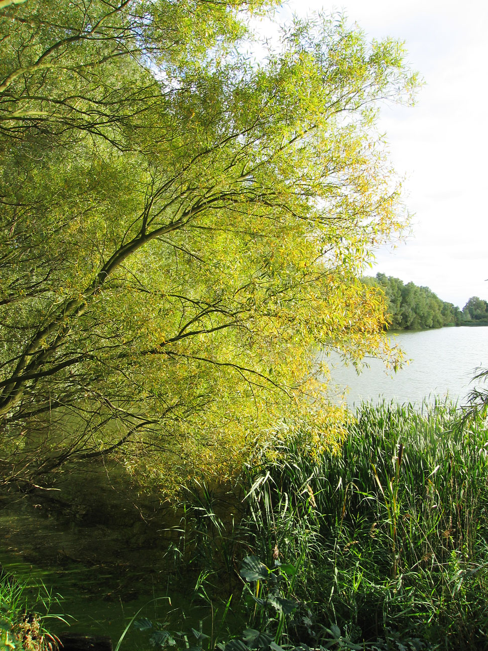


Little Paxton, United Kingdom
Little Paxton is a town of 3,244 people in England, United Kingdom.
Why visit Little Paxton
Townapedia lists 9 museums and landmarks, 9 parks and trails, 21 places to eat, 1 place to stay and 1 attraction in and around town.
Highlights include Cineworld, St Neots Quad, Victor Ekins and Paxton Pits.
Weather in Little Paxton
Forecast from MET Norway (CC BY 4.0). Full forecast
About Little Paxton
Little Paxton in Cambridgeshire, England is a village and civil parish that lies 5 miles (8.0 km) south of Huntingdon and 1.7 miles (2.7 km) north of St Neots. It is in the district and historic county of Huntingdonshire. Until the 1970s it was a minor village and the church was under threat of closure. The building of a housing estate and a junior school revived its fortunes and the establishment of the Paxton Pits Nature Reserve around part of the nearby gravel pits has brought visitors to the village.
From the Wikipedia article Little Paxton (this version), under CC BY-SA 4.0.
Photos of Little Paxton


Things to do1

Museums and landmarks9



St Neots Museum
Museum · 1.6 mi
Museum in Cambridgeshire, United Kingdom

Parks, trails and playgrounds9

Paxton Pits Nature Reserve
Park · 0.5 mi
Local nature reserve in United Kingdom




Restaurants and cafes21



Paxton Pits Nature Reserve Visitor Centre Cafe
Cafe · Coffee Shop, Ice Cream, Cake, Pizza, Tea · 0.4 mi

9 more on the map.
History
Little Paxton is not explicitly mentioned in the Domesday Book of 1086 but is covered by the entry for Great Paxton (or Pachstone as it was then). At that time the settlement of Pacstone had 69 households, which is considered to be a very large settlement for that period, and contained 3 mills and a church (presumably the church at Great Paxton). All of the lands at Little Paxton were held by Countess Judith who was a niece of William the Conqueror. There were a number of fisheries on the river Great Ouse at Little Paxton, the earliest of which can be traced back to 1544. The open fields in the parish were enclosed by an Act of Parliament in 1811–12.
The quarrying of gravel has been an important industry in Little Paxton since the 19th century when gravel from Paxton Park was used in local housing. It was in the 1940s that a much large scale quarrying operation began in the area to the north of Little Paxton village. In 1989, the Paxton Pits Nature Reserve opened on the site of those quarries which by then were no longer used.
From the History section of Little Paxton on Wikipedia, under CC BY-SA 4.0.
More about Little Paxton
Geography
Little Paxton lies on the western side of the Great Ouse river valley between 14 metres (46 ft) and 32 metres (105 ft) above ordnance datum and the parish covers an area of 1,150 acres (470 hectares). The boundary of the parish to the south and east is the Great Ouse and to the west is the River Kym.
The A1 road follows the route of the Great North Road and lies to the west of Little Paxton; it runs roughly from south-west to north through the parish. There is a restricted access junction at the northern edge of Little Paxton (cannot join A1 southbound) and a restricted access junction that only allows southbound access to the A1 to the south-west of the village. The A1 Road is Northbound traffic to Peterborough and Southbound to London but this only happens from the South-West of Little Paxton
On the eastern side of the parish are a number of disused and working gravel pits. The disused gravel pits are now lakes and the largest of these are Heronry South Lake and Sailing Lake while the smaller lakes are Weedy Lake, Rudd Lake, Cloudy Lake and Hayling Lake.
Arts and culture
The village has a public house called The Anchor. Gravel extraction remains an important industry in and around the village. There is also a fencing company, a tool hire and a conservatory village. On the edge of the village, a derelict industrial site has been redeveloped to provide modern housing on an island in the middle of the River Great Ouse, between the lock and the weir stream. Little Paxton playing field has two football pitches, a cricket pitch and a floodlit multi-purpose games area. A variety of water sports including waterski, jet ski, and sailing are available on the lakes at Little Paxton. With suitable permits, fishing is allowed in some of the gravel pits and on the river Great Ouse in Little Paxton.
Education
Little Paxton Primary School opened in 1972 and has around 360 pupils aged from four to eleven as of December 2022. Senior school pupils attend Longsands Academy or Ernulf Academy in St Neots.
From the Wikipedia article Little Paxton, under CC BY-SA 4.0.
Notable people from Little Paxton
 Michael Jeffrey AminoffAmerican clinical neurologist and neurophysiologistPhoto: RCL Portrait Design, CC BY-SA 4.0
Born in Little Paxton, according to Wikidata (CC0). Each name links to its Wikipedia article.
Where to stay1
Churches and places of worship6
Shopping6
Gas and EV charging1
Schools, colleges and libraries5
Healthcare3
Map of Little Paxton
62 places. The map loads OpenStreetMap tiles when you open it.
Getting there and nearby towns
Cambridge City Airport (CBG) is the nearest airport with scheduled flights listed in OpenStreetMap, 19 miles away.
- Saint Neots 2 mi south, about 4 min by car
- Huntingdon 6 mi northeast, about 10 min by car
- Papworth Everard 6 mi east, about 10 min by car
- Kimbolton 6 mi northwest, about 10 min by car
- Great Gransden 7 mi southeast, about 11 min by car
- Great Barford 8 mi southwest, about 12 min by car
- Sandy 8 mi south, about 14 min by car
- Alconbury 8 mi north, about 13 min by car
- Houghton 8 mi northeast, about 13 min by car
- Saint Ives 10 mi northeast, about 15 min by car
Drive times are estimates from straight-line distance, not routes.
Towns near Little Paxton


Keep exploring
Local news
Headlines from INDB.
Reviews, tips and questions
Loading what members have shared...
Sources and licences
- GeoNames (CC BY 4.0): population, coordinates, regions and time zone
- Mapillary (see each image): photos
- OpenStreetMap contributors (ODbL 1.0): places, airports, map data
- Wikidata (CC0 1.0): elevation, founding date, time zone, website, landmarks and historic places
- Wikimedia Commons (see each image): photos
- Wikipedia (CC BY-SA 4.0): overview and history text
Photo credits
- St Peter's Church, near to Offord D'arcy, Cambridgeshire, Great Britain, Blackinkwash, CC BY-SA 3.0
- Paxton Pits, Unknown author, CC BY-SA 2.0
- St James, Little Paxton 01, Poliphilo, CC0
- Quads plaque, Afterbrunel, CC BY-SA 4.0
- Plaque for Victor Ekins, Il lupa, CC0
- 1993 Daihatsu Charade Turbo Diesel, Calreyn88, CC0
- Reed fringed lake - Paxton Pits - August 2013 - panoramio, Forester2009, CC BY-SA 3.0
- Late summer - Paxton Pits - August 2013 - panoramio, Forester2009, CC BY-SA 3.0
- Swan at Paxton Pits - August 2013 - panoramio, Forester2009, CC BY-SA 3.0
- Water lillies - Paxton Pits - August 2013 - panoramio, Forester2009, CC BY-SA 3.0
- Paxton Pits in late August - 2013 - panoramio, Forester2009, CC BY-SA 3.0
- Reflections at Paxton Pits Nature Reserve - August 2013 - panoramio, Forester2009, CC BY-SA 3.0
- Lake at Paxton Pits - 30th August 2013 - panoramio, Forester2009, CC BY-SA 3.0
- Lake in late summer - Paxton Pits - August 2013 - panoramio, Forester2009, CC BY-SA 3.0
- Paxton Pits - August 2013 - panoramio, Forester2009, CC BY-SA 3.0
- Meadows in the former sand ^ gravel pits at Paxton Pits Nature Reserve - August 2013 - panoramio, Forester2009, CC BY-SA 3.0
- Paxton Pits in late summer - 2013 - panoramio, Forester2009, CC BY-SA 3.0
- Plaque for Housden Firefighters, Il lupa, CC0
- Plaque for Old Fire Station, Il lupa, CC0
- Street-level photo, adam2, CC BY-SA 4.0
- Street-level photo, adam2, CC BY-SA 4.0
- Street-level photo, adam2, CC BY-SA 4.0


Page built November 10, 2026. Spotted a mistake? Tell us or suggest a place.