




Saint Neots, United Kingdom
Saint Neots is a town of 30,811 people in England, United Kingdom.
Why visit Saint Neots
Townapedia lists 40 museums and landmarks, 25 parks and trails, 60 places to eat, 8 places to stay and 1 attraction in and around town.
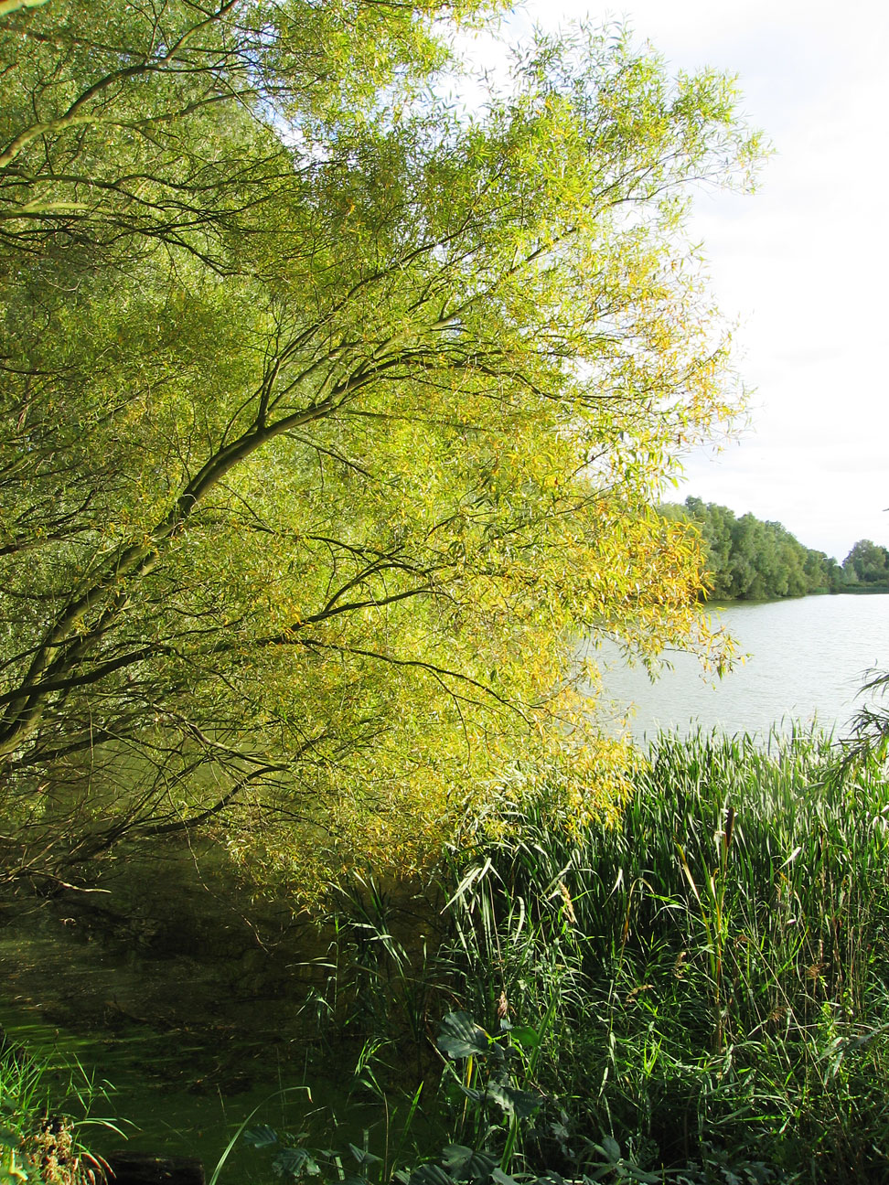
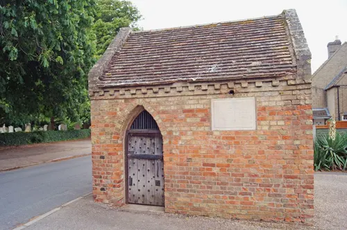
Highlights include Cineworld, Eaton Socon Cage, John Cecil Paget and Begwary Brook.
Weather in Saint Neots
Forecast from MET Norway (CC BY 4.0). Full forecast
About Saint Neots
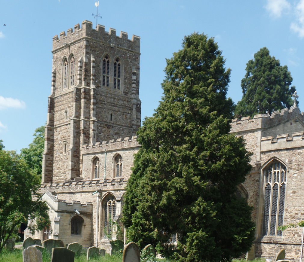
St Neots is a town and civil parish in the Huntingdonshire district of Cambridgeshire, England. It is 18 miles (29 km) west of Cambridge. The areas of Eynesbury, Eaton Ford, Eaton Socon, Love's Farm and Wintringham form part of the town.
From the Wikipedia article St Neots (this version), under CC BY-SA 4.0.
Travel tips from other travellers: Saint Neots on Wikivoyage (CC BY-SA 4.0).
Things to do1

Museums and landmarks40



St Neots Museum
Museum · 0.8 mi
Museum in Cambridgeshire, United Kingdom
8 New Street, St Neots
Tu-Sa 11:00-16:00

Eynesbury sign
Monument and historic site
Elegant decorative sign showing that you're at Eynesbury as is common in the country
28 more on the map.
Parks, trails and playgrounds25


Paxton Pits Nature Reserve
Park · 2.7 mi
Local nature reserve in United Kingdom




Cambridge Fish Preservation and Angling Society Ltd. Managed Fishery
Park · 0.7 mi
13 more on the map.
Restaurants and cafes60



Caffè Nero
Cafe · Coffee Shop · 0.8 mi
50-52 Market Square, St Neots
Mo-Sa 07:30-18:00; Su 08:30-17:30

The Chaii Hub
Cafe · Indian · 0.8 mi
2-6 Cambridge Street, St Neots
Su-Th 10:00-18:00
Auntie's
Restaurant · Thai · 0.8 mi
35 Cambridge Street, St Neots
Mo-Su 18:00-23:00

48 more on the map.
History
Remains of Iron Age settlement have been found in the town centre; a Roman encampment was located in the town. It became known as Eynesbury, after Ernulf, a local leader.
Neot was a holy man who founded a monastery near the present-day Cornish village of St Neot. When he died, his remains were kept there as holy relics, and many pilgrims visited, making donations. In the later tenth century a priory was established immediately north of the village of Eynesbury in what is now St Neots. The landowners, Leofric and his wife Leoflaed, obtained Neot's remains (leaving an arm in Cornwall), realising that they would attract pilgrims, and their money, to their priory. This was successful, and the priory became rich and famous, and the area became known as St Neots. St Neots gradually gained its independence as a separate parish from Eynesbury in a process which began sometime after 1113 and was finally completed in 1204. The boundary between the two parishes was a stream called Hen Brook.
Read more of the history
About this time, the settlement to the west of the River Ouse was known as Ea-tun, meaning "waterside village". In Norman times, a sub-division of a Baron's area of control was called a "soke" (a district within certain legal privileges could be exercised) and in French the area was called the Soka de Eton, and later Eaton Socon. Before the river was bridged, people waded across it, and this was called a "ford", from which the immediate area became called Eaton Ford.
The priory was destroyed during the dissolution of the monasteries in the 16th century, and the relics of St Neot were lost.
The River Great Ouse was made navigable from St Ives to Bedford, via St Neots, in 1629, increasing river-borne trade in the town.
The Second English Civil War began in April 1648. The Parliamentarians under Oliver Cromwell were in control, but King Charles I planned to overthrow them by force of arms. An attempt to seize London by his supporters, the Royalists, failed. A group of them retreated to St Neots and planned to spend the night of 9 July resting in the town. In the small hours of 10 July Parliamentary troops attacked, taking them by surprise, and the battle centred on the market square area. Many Royalists were killed or taken prisoner.
In the twentieth century, Eaton Ford and Eaton Socon, lying on the west side of the River Great Ouse, became gradually more integrated with St Neots and Eynesbury. Nevertheless their location to the west of the River Great Ouse meant that they were administratively part of Bedfordshire. This anomaly was resolved in 1965 when they were incorporated into the urban district of St Neots. A considerable addition to the population took place in the 1960s when London overspill development took place in the area. This incorporated a great deal of light industry, and Cromwell Road was constructed and became a focus for it. At this time the A45(T) road ran through the town and the construction of St Neots by-pass in 1968 provided a much-needed relief, as well as enhancing access to additional light industry.
Recent developments in St Neots have expanded the population in the last few years: to the east of the railway station is the Love's Farm estate, where more than 1,000 houses were built in the period to 2020. Stage one of the extensive Wintringham estate has been completed but much remains to be done. planned to be a vibrant community with 2,000 homes, To the east of Love's Farm, further development has been started for the construction of the Monkfields Estate.
From the History section of St Neots on Wikipedia, under CC BY-SA 4.0.
More about Saint Neots
Geography
St Neots is close to the south-western boundary of Huntingdonshire district of Cambridgeshire, and the northern boundary of Bedfordshire. Both Cambridge, about 18 miles (29 km) east, and Bedford, about 13 miles (21 km) south-west, are nearby. Milton Keynes is 31 miles (50 km) to the west and Peterborough is 29 miles (47 km) to the north. The A428 road marks the boundary with Little Barford and Bedfordshire.
St Neots lies in the valley of the River Great Ouse, partly on the flood plain and partly on slightly higher ground.
Tributaries entering the Great Ouse in the town are the River Kym, Hen Brook, Duloe Brook and Colmworth Brook. The area is generally low-lying. Riverside Park, an amenity adjacent to St Neots Bridge, remains set aside as a flood-meadow, subject to flood, protecting dwellings and commercial property from a swollen reach.
St Neots developed at the site of a ford where overland routes converged. The Great North Road and the major route from Ipswich to the West Midlands (later the A45 road) intersected at St Neots and Eaton Socon.
Arts and culture
St Neots Museum is housed in the town's former Victorian Police Station and Magistrates Court. It has local history collections covering the town's rich past including a display about James Toller, the Eynesbury Giant, a resident from the 18th century who measured over 8 ft (2.4 m) in height. There is also a gallery with temporary exhibitions by local creatives including fine art, ceramics, sculpture and illustration. The museum organises a variety of specialist and family events from walks, talks, one-day festivals, temporary and touring exhibitions.
St Neots general market is held on the market square every Thursday. A further farmers market is held on the market square every second and fourth Saturday.
The theatre community includes the Riverside Theatre Company, who stage productions, run workshops and have groups for all ages; VAMPS formed in 1961 as the St Neots and District Operatic Society and stage popular musicals and variety shows; St Neots Players, formed in the late 1920s as a play-reading group with past members who used to perform the annual Shakespeare, Pantomime and other mid-season productions at the Kings Head Hotel in the Stables Theatre.
From the Wikipedia article St Neots, under CC BY-SA 4.0.
Notable people from Saint Neots
 Rula LenskaBritish actressPhoto: Bryan Ledgard, CC BY 2.0
 Jacob HennessyBritish bicycle racerPhoto: Cs-wolves, CC BY-SA 4.0
- John BellinghamEnglish assassin of British Prime Minister Spencer Perceval
- Liz HodgkinsonBritish journalist
- George Cornelius GorhamEnglish Anglican priest (1787–1857)
- Chris TurnerBritish footballer and football manager (1951-2015)
- Christopher StoneEnglish cricketer (born 1951)
- Olivia Spencer BowerNew Zealand artist and painter (1905–1982)
- Stephen WhissonEnglish librarian
- Frederick BellEnglish cricketer and umpire (1830-1871)
- Winifred Crossley FairBritish aviator, one of the "First Eight" women pilots in the Air Transport Auxiliary
- Reginald BonhamBlind English chess player (1906-1984)
Born in Saint Neots, according to Wikidata (CC0). Each name links to its Wikipedia article.
Where to stay8
Churches and places of worship9
Shopping15
Gas and EV charging6
Schools, colleges and libraries16
Healthcare5
Map of Saint Neots
185 places. The map loads OpenStreetMap tiles when you open it.
Getting there and nearby towns
Cambridge City Airport (CBG) is the nearest airport with scheduled flights listed in OpenStreetMap, 19 miles away.
- Sandy 6 mi south, about 10 min by car
- Bedford 10 mi southwest, about 16 min by car
- Cambridge 16 mi east, about 26 min by car
- Milton Keynes 24 mi southwest, about 39 min by car
- Luton 24 mi south, about 39 min by car
- Whittlesey 24 mi north, about 39 min by car
- Peterborough 25 mi north, about 40 min by car
- Northampton 26 mi west, about 42 min by car
- Ware 30 mi south, about 48 min by car
- Stamford 31 mi north, about 50 min by car
Drive times are estimates from straight-line distance, not routes.
Towns near Saint Neots


Keep exploring
Local news
Headlines from INDB.
Reviews, tips and questions
Loading what members have shared...
Sources and licences
- GeoNames (CC BY 4.0): population, coordinates, regions and time zone
- Mapillary (see each image): photos
- OpenStreetMap contributors (ODbL 1.0): places, airports, map data
- Wikidata (CC0 1.0): elevation, founding date, time zone, website, landmarks and historic places
- Wikimedia Commons (see each image): photos
- Wikipedia (CC BY-SA 4.0): overview and history text
Photo credits
- StNeotsTown-23, Tony Foster, CC BY-SA 2.0
- Begwary Brook 3, Dudley Miles, CC BY-SA 4.0
- Paxton Pits, Unknown author, CC BY-SA 2.0
- St Margaret's church in Abbotsley, Cambs, Fivemack at English Wikipedia, Public domain
- StNeotsTown-16, Keith Edkins, CC BY-SA 2.0
- Socon kirk, Afterbrunel, CC BY-SA 4.0
- St. Mary the Virgin - panoramio (1), Jean Marc Gfp, CC BY 3.0
- StNeotsTown-21, Keith Edkins, CC BY-SA 2.0
- The Crown Inn, Eaton Socon, east side, Heron, CC BY-SA 4.0
- John Cecil Paget, Il lupa, CC0
- Quads plaque, Afterbrunel, CC BY-SA 4.0
- Plaque for Victor Ekins, Il lupa, CC0
- Plaque for The Weeping Ash, Il lupa, CC0
- Plaque for Brittains the Furnishers, Il lupa, CC0
- Plaque for C.F. Tebbutt, Il lupa, CC0
- Street-level photo, coljay72, CC BY-SA 4.0
- Street-level photo, coljay72, CC BY-SA 4.0

Page built November 10, 2026. Spotted a mistake? Tell us or suggest a place.