


Llangollen, United Kingdom
Llangollen is a town of 3,466 people in Wales, United Kingdom.
Why visit Llangollen
Townapedia lists 9 museums and landmarks, 8 parks and trails, 45 places to eat, 26 places to stay and 9 attractions in and around town.
Highlights include Horseshoe Falls, Chain Bridge, Plas Newydd and Castell Dinas Brân.
Weather in Llangollen
Forecast from MET Norway (CC BY 4.0). Full forecast
About Llangollen
Llangollen (Welsh: [ɬaŋˈɡɔɬɛn] ) is a town and community, on the River Dee, in Denbighshire, Wales. Its riverside location forms the edge of the Berwyn range, and the Dee Valley section of the Clwydian Range and Dee Valley Area of Outstanding Natural Beauty, with the easternmost point of the Dee Valley Way being within the town. At the 2021 census the community had a population of 3,603.
From the Wikipedia article Llangollen (this version), under CC BY-SA 4.0.
Travel tips from other travellers: Llangollen on Wikivoyage (CC BY-SA 4.0).
Photos of Llangollen

Things to do9

Horseshoe Falls
Waterfall · 1.5 mi
Grade II listed wier in Denbighshire; the 'Falls' are located above rapids on the River Dee approximately 2km above Llangollen

Chain Bridge
Bridge · 1.3 mi
Footbridge over the river Dee at Berwyn, Llangollen, Denbighshire, North Wales


Pont Cysyllte
Bridge · 3.3 mi
17th-century road bridge over the River Dee near Llangollen, Wales


Museums and landmarks9


Castell Dinas Brân
Monument and historic site · 0.9 mi
Castle in Denbighshire, Wales

Llangollen Motor Museum
Museum · 1.2 mi
Transport museum in Denbighshire, Wales
Pentre Felin, Llangollen


Eliseg's Pillar
Monument and historic site · 1.8 mi
Monument in Denbighshire, Wales


Llangollen Wharf Horse Drawn Boat Trips
Monument and historic site
Parks, trails and playgrounds8




Restaurants and cafes45
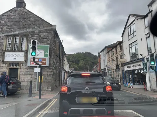
Adyan Tandoori Restaurant
Restaurant · Indian
4-5 Victoria Square Berwyn Street, Llangollen
Mo-Th,Su 17:00-22:30; Fr-Sa 17:00-23:00
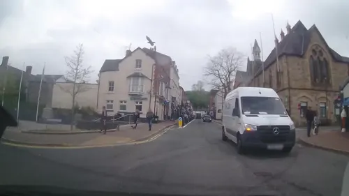
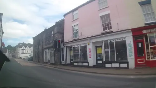
Dee Pizza
Restaurant · Pizza
Seating area for Pizza shop across eoad
4 Oak Street, Llangollen
Tu-Th,Su 16:00-24:00; Fr-Sa 16:00-01:00; PH closed
Fouzi's
Cafe · Ice Cream, Pizza, Sandwich, Breakfast, Panini, Cake, Pastry, Wrap, Omelette, Grill
Castle Street, Llangollen

33 more on the map.
History
Llangollen takes its name from the Welsh llan meaning "a religious settlement" and Saint Collen, a 7th-century monk who founded a church beside the river. St Collen is said to have arrived in Llangollen by coracle. St Collen’s Church is the only church in Wales dedicated to St Collen, and he may have had connections with Colan in Cornwall and with Langolen in Brittany.
Above the town to the north is Castell Dinas Brân, a stronghold of the Princes of Powys. Beyond the castle is the impressive Lower Carboniferous limestone escarpment known as the Eglwyseg Rocks. The outcrop continues north to World's End in Wrexham. The single track road north of the castle forms the Panorama Walk, and a monument to poet I. D. Hooson from the village of Rhosllannerchrugog is located near its easternmost end (SJ2459 4287).
Valle Crucis Abbey (SJ20441 44168) was established at Llantysilio in about 1201, under the patronage of Madog ap Gruffydd Maelor of Castell Dinas Brân.
Read more of the history
The bridge at Llangollen was built across the Dee in the 16th century to replace a previous bridge built in about 1345 by John Trevor, of Trevor Hall (later Bishop of St Asaph), which replaced an even earlier bridge built in the reign of King Henry I. In the 1860s the present bridge was extended by adding an extra arch (to cross the new railway) and a two-storey stone tower with a castellated parapet. This became a café before being demolished in the 1930s to improve traffic flow. The bridge was also widened in 1873 and again in 1968, using masonry which blended in with the older structure. It is a Grade I listed structure and a Scheduled Ancient Monument.
Plas Newydd ('new mansion' or 'new place') high on the outskirts of the town, was from 1780 the home of the Ladies of Llangollen (the Honourable Sarah Ponsonby and Lady Eleanor Butler) and their maid Mary Carryl. They share the same grave memorial in the church.
Elevated on the opposite side of the Dee is Castell Dinas Brân, the ruins of a medieval castle built by the Princes of Powys Fadog.
The Pillar of Eliseg (SJ20267 44528) is another ancient monument located 400m NNW of Valle Crucis Abbey. Llangollen Community Hospital was completed in 1876.
From the History section of Llangollen on Wikipedia, under CC BY-SA 4.0.
More about Llangollen
Economy
Today Llangollen relies heavily on the tourist industry, but still gains substantial income from farming. Most of the farms in the hills around the town were sheep farms, and the domestic wool industry, both spinning and weaving, was important in the area for centuries. Several factories were later built along the banks of the River Dee, where both wool and cotton were processed. The water mill opposite Llangollen railway station is over 600 years old, and was originally used to grind flour for local farmers.
Arts and culture
In the late 19th century, Llangollen had a weekly newspaper, the Llangollen Advertiser.
Llangollen hosted the National Eisteddfod in 1908. The Gorsedd ceremony was held on the Hermitage Field, next to Plas Newydd, and the circle of stones was later moved into the grounds of the hall. The eisteddfod itself took place on the old Vicarage Field at Fronhyfryd and was visited by David Lloyd George, accompanied by Winston Churchill.
The annual Llangollen International Eisteddfod is a large international music festival. It starts on a Tuesday and ends on the following Sunday. It opens with a parade led by the Llangollen Silver Band, in which both locals and visitors take part in dancing, singing, and playing musical instruments.
The Llangollen Fringe Festival is an independent arts festival, usually held in mid July in the town hall. The Fringe includes music, comedy, theatre, dance and workshops. Artists who have taken part in the Llangollen Fringe include Clement Freud, Rhys Ifans, the Damned, Cerys Matthews, Tracey Emin, Damien Hirst, Juan Martín, the Black Seeds, John Cooper Clarke, Will Self, Gang of Four, Lee Scratch Perry, Victoria Coren Mitchell and Gruff Rhys.
Dee Rocks is a local fundraising music festival, usually held during May when the town hall is transformed into a music venue.
"Pastai Fawr Llangollen" (The Great Llangollen Pie), Arfon Gwilym
From the Wikipedia article Llangollen, under CC BY-SA 4.0.
Notable people from Llangollen
 John PriceWelsh librarian and Anglican priestPhoto: Henry Hervey Baber, Public domain
- Glyn JamesWelsh footballer (born 1941)
- Huw MorusWelsh poet (1622–1709)
- Joe JonesCanadian cyclist
- Dora Herbert Jonessinger and administrator (1890-1974)
- Samuel JaggerWelsh cricketer (1904-1964)
- Robyn LéwisWelsh barrister, author and former Archdruid
- W. S. Gwynn WilliamsWelsh composer (1896–1978)
- Carys DaviesBritish writer (born 1990)
- Jonathan RogersAustralian recipient of the George Cross (1920-1964)
- William RobertsWelsh footballer of the 1870s and 1880s
- John Robertsassociation football player
Born in Llangollen, according to Wikidata (CC0). Each name links to its Wikipedia article.
Where to stay26
Churches and places of worship7
Shopping23
Gas and EV charging1
Schools, colleges and libraries4
Healthcare1
Map of Llangollen
133 places. The map loads OpenStreetMap tiles when you open it.
Getting there and nearby towns
Hawarden Airport (CEG) is the nearest airport with scheduled flights listed in OpenStreetMap, 17 miles away.
- Rhosllannerchrugog 6 mi northeast, about 9 min by car
- Ruabon 6 mi east, about 9 min by car
- Gobowen 7 mi southeast, about 12 min by car
- Brymbo 8 mi northeast, about 13 min by car
- Wrexham 9 mi northeast, about 15 min by car
- Oswestry 9 mi southeast, about 14 min by car
- Whittington 10 mi southeast, about 15 min by car
- Marchwiel 10 mi northeast, about 15 min by car
- Ruthin 12 mi northwest, about 19 min by car
- Buckley 14 mi north, about 23 min by car
Drive times are estimates from straight-line distance, not routes.
Towns near Llangollen


;_Wales_26.jpg)


Keep exploring
Local news
Headlines from INDB.
Reviews, tips and questions
Loading what members have shared...
Sources and licences
- GeoNames (CC BY 4.0): population, coordinates, regions and time zone
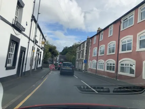
- Mapillary (see each image): photos
- OpenStreetMap contributors (ODbL 1.0): places, airports, map data
- Wikidata (CC0 1.0): elevation, founding date, time zone, website, landmarks and historic places
- Wikimedia Commons (see each image): photos
- Wikipedia (CC BY-SA 4.0): overview and history text
Photo credits
- Afon Ddyfrdwy yn Llangollen - River Dee flowing through Llangollen; June 2023; AONB 08, Llywelyn2000, CC BY-SA 4.0
- Jones Brothers, Llangollen (1464559), Geoff Charles, CC BY-SA 4.0
- Planhigion a golygfeydd ger Rhaeadr y Bedol - Flora and views around the Horseshoe Falls, Llangollen, Wales 12, Llywelyn2000, CC BY-SA 4.0
- Chain Bridge Berwyn No 1, Bradshaw79, CC BY-SA 4.0
- Afon Dyfrdwy yn Llangollen - River Dee at Llangollen, Denbighshire, Wales 05, Llywelyn2000, CC BY-SA 4.0
- Awyrlun o Bontcysyllte - Pontcysyllte Aqueduct, part of a UNESCO World Heritage Site in Wales 13, Llywelyn2000, CC BY-SA 4.0
- Plas Newydd, Llangollen, Sir Ddinbych - cyn gartref i Eleanor Butler a Sarah Ponsonby, Cymru (Wales) 02, Llywelyn2000, CC BY-SA 4.0
- Castell Dinas Bran, Llangollen - AUOB (Dyffryn Ddyfrdwy (Dee Valley); Wales 26, Llywelyn2000, CC BY-SA 4.0
- Elisegs Pfeiler 5 Südost, Wolfgang Sauber, CC BY-SA 3.0
- St. Collen's Church, Llangollen 01, Simon Burchell, CC BY-SA 4.0
- Eglwys Llantysilio, Llandysilio-yn-Iâl, Llangollen, Sir Ddinbych - o fewn AONB Dyffryn Dyfrdwy (Dee Valley) 28, Llywelyn2000, CC BY-SA 4.0
- Mynydd Felfed (Coed Hyrddyn) - Velvet Hill, Llantysilio, Llangollen, Sir Ddinbych, Cymru (Wales) 70, Llywelyn2000, CC BY-SA 4.0
- Llangollen Museum (35841048973), Alex Liivet from Chester, United Kingdom, CC0
- The English Methodist Church - panoramio, deepeye, CC BY-SA 3.0
- GWR Class 5600 No 5643 (8063187742), Peter Broster, CC BY 2.0
- Mynydd Felfed (Coed Hyrddyn) - Velvet Hill, Llantysilio, Llangollen, Sir Ddinbych, Cymru (Wales) 23, Llywelyn2000, CC BY-SA 4.0
- Llangollen Motor Museum, DeFacto, CC BY-SA 4.0
- Street-level photo, rac_uk2, CC BY-SA 4.0
- Street-level photo, trigpoint, CC BY-SA 4.0
- Street-level photo, hobgoblin, CC BY-SA 4.0
- Street-level photo, trigpoint, CC BY-SA 4.0
- Street-level photo, trigpoint, CC BY-SA 4.0
- Street-level photo, trigpoint, CC BY-SA 4.0
- Street-level photo, hobgoblin, CC BY-SA 4.0
- Street-level photo, trigpoint, CC BY-SA 4.0
- Street-level photo, hobgoblin, CC BY-SA 4.0
- Street-level photo, trigpoint, CC BY-SA 4.0
- Street-level photo, trigpoint, CC BY-SA 4.0
- Street-level photo, trigpoint, CC BY-SA 4.0
- Street-level photo, hobgoblin, CC BY-SA 4.0
- Street-level photo, trigpoint, CC BY-SA 4.0
- Street-level photo, trigpoint, CC BY-SA 4.0
- Street-level photo, rac_uk2, CC BY-SA 4.0
- Street-level photo, trigpoint, CC BY-SA 4.0
- Street-level photo, rac_uk2, CC BY-SA 4.0
- Street-level photo, hobgoblin, CC BY-SA 4.0
- Street-level photo, trigpoint, CC BY-SA 4.0
- Street-level photo, trigpoint, CC BY-SA 4.0
- Street-level photo, trigpoint, CC BY-SA 4.0
- Street-level photo, trigpoint, CC BY-SA 4.0
- Street-level photo, trigpoint, CC BY-SA 4.0


Page built November 10, 2026. Spotted a mistake? Tell us or suggest a place.