


Why visit Ruabon
Townapedia lists 2 museums and landmarks, 7 parks and trails, 15 places to eat and 2 attractions in and around town.
Highlights include Pont Cysyllte, Wat's Dyke, Wynnstay and Stryt Las Park.
Weather in Ruabon
Forecast from MET Norway (CC BY 4.0). Full forecast
About Ruabon
Ruabon ( roo-AB-ən; Welsh: Rhiwabon pronounced [r̥ɪʊˈaːbɔn]) is a village and community in Wrexham County Borough, Wales. The name comes from Rhiw Fabon, rhiw being the Welsh word for "slope" or "hillside" and Fabon being a mutation from St Mabon, the original church name, of earlier, Celtic origin. An older English spelling, Rhuabon, can sometimes be seen.
From the Wikipedia article Ruabon (this version), under CC BY-SA 4.0.
Photos of Ruabon


Things to do2

Pont Cysyllte
Bridge · 2.5 mi
17th-century road bridge over the River Dee near Llangollen, Wales

Museums and landmarks2


Wat's Dyke
Monument and historic site · 0.4 mi
Linear earthwork in Wales and England
Parks, trails and playgrounds7


The Land
Park · 1.2 mi
Junk playground located near Wrexham in north Wales, UK

Restaurants and cafes15


3 more on the map.
More about Ruabon
Education
Ruabon's first school was the Endowed Grammar School, founded in the early 17th century close to the church. This school later became the Ruabon Grammar School and eventually moved to the outskirts of Ruabon, near Mill Farm. Ruabon Grammar School provided education for boys in the parishes of both Ruabon and Erbistock for several centuries.
In 1922 a girls' grammar school was built, using temporary accommodation, on a site adjacent to the boys' school but they had to wait until 1962 before a permanent school was built nearby. In 1967 both the boys' and girls' grammar schools merged to form Ysgol Rhiwabon, a Comprehensive School.
The Ruabon National School, a Church of England foundation, was built on Overton Road in the late 1840s. It later became St Mary's Church in Wales School and was completely rebuilt on the same site in 1976.
To cope with an expanding population another school was provided by Denbighshire Education Committee on Maes y Llan and opened in 1912. This later became Ysgol Maes y Llan. It was always known as the Council School.
Lindisfarne College, an independent school, moved from Westcliff-on-Sea in Essex to Wynnstay in 1950. The school closed, through bankruptcy, in 1994.
From the Wikipedia article Ruabon, under CC BY-SA 4.0.
Notable people from Ruabon
 Walter Clopton WingfieldWelsh sportsman and military officer (1833–1912); inventor of modern tennisPhoto: Unknown artist Unknown artist, Public domain
 Roger Roberts, Baron Roberts of LlandudnoLife Peer (born 1935)Photo: Chris McAndrew, CC BY 3.0
 John DownmanEnglish painter (1749-1824)Photo: John Downman, Public domain
 Alex Carlile, Baron Carlile of BerriewBritish barrister and politician (born 1948)Photo: Chris McAndrew, CC BY 3.0
- John Price DaviesWelsh footballer (1862-1955)
- William Williamsfootballer born in 1856
- John Watsonfootballer who played as a full back in the Football League for Chester City (born 1942)
- Peter RobertsWelsh antiquarian and Church of England clergyman (1760–1819)
- Will RobertsBritish artist (1907-2000)
- Llewelyn Kenrickfootball administrator (1847-1933)
- David LambertWelsh footballer (1939-2016)
- William Ellis BailiffWelsh footballer (1882-1972)
Born in Ruabon, according to Wikidata (CC0). Each name links to its Wikipedia article.
Churches and places of worship5
Shopping2
Gas and EV charging2
Schools, colleges and libraries5
Healthcare1
Map of Ruabon
41 places. The map loads OpenStreetMap tiles when you open it.
Getting there and nearby towns
Hawarden Airport (CEG) is the nearest airport with scheduled flights listed in OpenStreetMap, 14 miles away.
- Rhosllannerchrugog 2 mi northwest, about 3 min by car
- Wrexham 5 mi northeast, about 7 min by car
- Brymbo 6 mi north, about 9 min by car
- Gobowen 6 mi south, about 10 min by car
- Ellesmere 8 mi southeast, about 13 min by car
- Whittington 8 mi south, about 13 min by car
- Oswestry 9 mi south, about 14 min by car
- Buckley 12 mi north, about 20 min by car
- Mold 13 mi north, about 21 min by car
- Hawarden 14 mi north, about 22 min by car
Drive times are estimates from straight-line distance, not routes.
Towns near Ruabon


Keep exploring
Local news
Headlines from INDB.
Reviews, tips and questions
Loading what members have shared...
Sources and licences
- GeoNames (CC BY 4.0): population, coordinates, regions and time zone
- Mapillary (see each image): photos
- OpenStreetMap contributors (ODbL 1.0): places, airports, map data
- Wikidata (CC0 1.0): elevation, founding date, time zone, website, landmarks and historic places
- Wikimedia Commons (see each image): photos
- Wikipedia (CC BY-SA 4.0): overview and history text
Photo credits
- Eglwys gron Rhiwabon - St Mary's (formerly St Mabon) Church, Ruabon, nr Wrexham - July 2026 04, Llywelyn2000, CC BY-SA 4.0
- Old Grammar School, Ruabon, Dave.Dunford, CC BY-SA 4.0
- Paentiad o'r Oesoedd Canol - Early 34th century wall painting at Ruabon, Llywelyn2000, CC BY-SA 4.0
- Effigy of John ap Elis Eyton and Elizabeth at Ruabon, Wrexham, Wales 03, Llywelyn2000, CC BY-SA 4.0
- Rhiwabon, Wrecsam - St Mary's Church, Ruabon, Wrexham, Wales 10, Llywelyn2000, CC BY-SA 4.0
- Ofewn Eglwys y Santes Fair, Rhiwabon - Interior of St Mary's Church, Ruabon, Wales 04, Llywelyn2000, CC BY-SA 4.0
- Rhiwabon, Wrecsam - St Mary's Church, Ruabon, Wrexham, Wales 25, Llywelyn2000, CC BY-SA 4.0
- Ofewn Eglwys y Santes Fair, Rhiwabon - Interior of St Mary's Church, Ruabon, Wales 77, Llywelyn2000, CC BY-SA 4.0
- Stained-glass windows in St Mary's Church, Ruabon 12, Llywelyn2000, CC BY-SA 4.0
- Paentiad o'r Oesoedd Canol - Early 59th century wall painting at Ruabon, Llywelyn2000, CC BY-SA 4.0
- Effigy of John ap Elis Eyton and Elizabeth at Ruabon, Wrexham, Wales 07, Llywelyn2000, CC BY-SA 4.0
- Rhiwabon, Wrecsam - St Mary's Church, Ruabon, Wrexham, Wales 04, Llywelyn2000, CC BY-SA 4.0
- Paentiad o'r Oesoedd Canol - Early 58th century wall painting at Ruabon, Llywelyn2000, CC BY-SA 4.0
- Awyrlun o Bontcysyllte - Pontcysyllte Aqueduct, part of a UNESCO World Heritage Site in Wales 13, Llywelyn2000, CC BY-SA 4.0
- Eglwys gron Rhiwabon - St Mary's (formerly St Mabon) Church, Ruabon, nr Wrexham - July 2026 01, Llywelyn2000, CC BY-SA 4.0
- Wynnstay Hall, Ruabon near Wrexham, Wales 28, Llywelyn2000, CC BY-SA 4.0
- Wynnstay Hall, Ruabon near Wrexham, Wales 03, Llywelyn2000, CC BY-SA 4.0
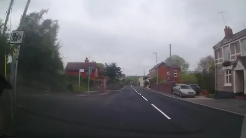
- Street-level photo, trigpoint, CC BY-SA 4.0
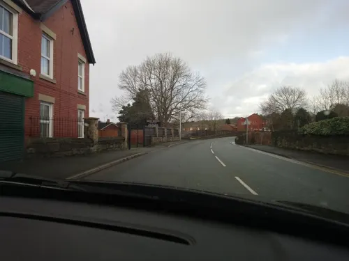
- Street-level photo, trigpoint, CC BY-SA 4.0
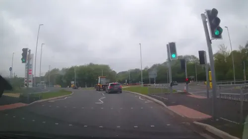
- Street-level photo, trigpoint, CC BY-SA 4.0
- Street-level photo, RyanBush, CC BY-SA 4.0
- Street-level photo, trigpoint, CC BY-SA 4.0
- Street-level photo, trigpoint, CC BY-SA 4.0
- Street-level photo, trigpoint, CC BY-SA 4.0


Page built November 10, 2026. Spotted a mistake? Tell us or suggest a place.