


Lydiard Millicent, United Kingdom
Lydiard Millicent is a town of 1,029 people in England, United Kingdom.
Why visit Lydiard Millicent
Townapedia lists 6 museums and landmarks, 10 parks and trails, 22 places to eat, 4 places to stay and 6 attractions in and around town.
Highlights include Swindon Mechanics' Institute, Dora's Dairy, Purton Museum and Lydiard House.
Weather in Lydiard Millicent
Forecast from MET Norway (CC BY 4.0). Full forecast
About Lydiard Millicent
Lydiard Millicent is a village and civil parish in Wiltshire, England, about 3+1⁄2 miles (6 km) west of the centre of Swindon. The parish contains the hamlets of Lydiard Green, Lydiard Plain, Greatfield and Green Hill; in the northeast the parish extends to Common Platt, which is now contiguous with the Peatmoor area of Swindon.
From the Wikipedia article Lydiard Millicent (this version), under CC BY-SA 4.0.
Things to do6

Swindon Mechanics' Institute
Cinema and theater · 3.2 mi
Education and theatre building in Swindon, England
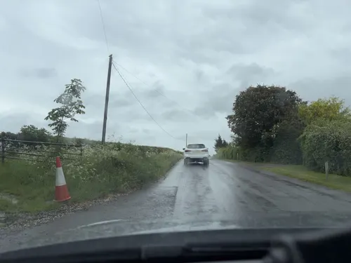

Dora's Dairy
Farm and orchard · 1.1 mi
Natural Raw Milk as nature designed it fresh from Quarry Farm. While you’re here, don’t miss our freezer stocked with our grass fed...
The Hyde, Purton, Swindon
Mo-Su 07:00-19:00


Museums and landmarks6
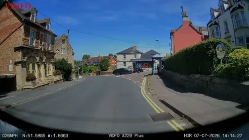


Swindon Steam Railway Museum
Museum · 3.0 mi
Railway museum in Swindon, England

Ringsbury Camp
Monument and historic site · 1.4 mi
Hillfort in Wiltshire, England, UK
Parks, trails and playgrounds10
Lydiard Park
Park · 0.6 mi
Country park in Swindon, Wiltshire, England, UK
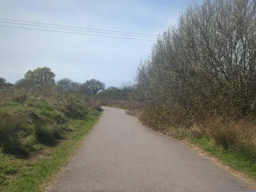
Mouldon Hill Country Park
Park · 1.9 mi
Country park in Wiltshire, England, UK


Restaurants and cafes22
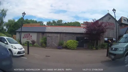
Hickory's Smokehouse
Restaurant · Barbecue · 0.8 mi
Middleleaze Drive, Swindon
Mo-Fr 12:00-23:00; Sa-Su 10:00-23:00
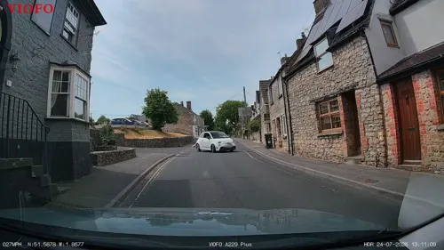
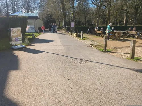
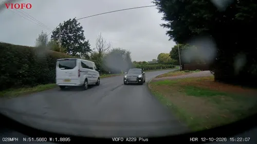
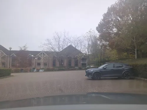
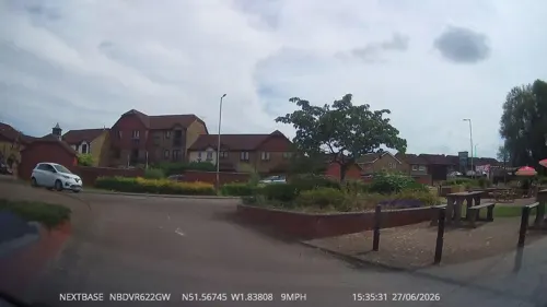
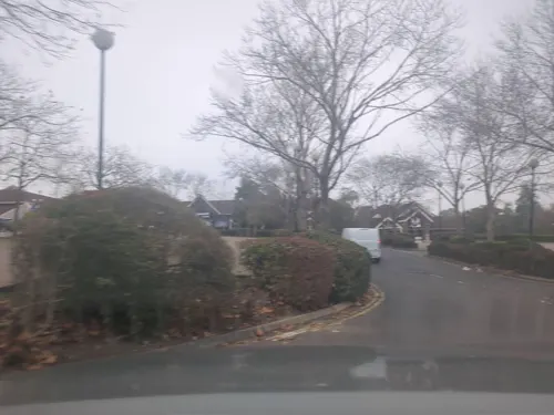



10 more on the map.
History
The first part of the name of the village may be derived from the Old English for 'gate by the ford'. Millicent comes from Millicent de Clinton, who owned the manor in the 12th century and was the wife of William de Clinton; the suffix distinguishes the manor from its neighbour to the south, Lydiard Tregoze.
Lydiard Manor is mentioned in the Domesday survey of 1086, owned by Geoffrey de Clinton, with 25 households. There was an extensive Romano-British ceramic manufacturing industry on and around Shaw Ridge, on land formerly within the two Lydiard parishes, mainly in the 2nd century. In the 13th century, most of the parish was within Braydon Forest; later, the forest was only in the west of the parish.
Parkside Farmhouse is from the 16th century, altered in the 18th. Manor Farm has an 18th-century dovecote; the present Manor House was built in 1965–6 on the site of an earlier house which burned down in 1880. Lydiard House, west of the village towards Lydiard Green, was built in 1830; a stable block was added nearby in 1840.
A Primitive Methodist chapel was built in 1863 at Lydiard Green, of red brick in plain classical style. The building was still in use in 2004 but by 2009 had become a private house.
Read more of the history
A National School was built at The Butts in 1864, and enlarged several times; in 1902 the attendance was 115. Children of all ages were educated until 1930, when those over 11 transferred to Purton. Enrollment fell, then increased in 1965 on the closure of the school at Lydiard Tregoze. A new school was opened on the other side of the lane in 2011.
In the 19th century the parish boundary in the northeast was the River Ray, beyond the Cheltenham railway. In 1981, the eastern end of the parish – about a third of its area, including the hamlets of Nine Elms, Roughmoor and Shaw – was transferred to Thamesdown borough, together with parts of the parishes of Purton and Lydiard Tregoze. This area was subsequently developed, largely for housing, as the Swindon suburbs of Shaw, Middleleaze, Nine Elms, Hillmead, Roughmoor, Peatmoor and Common Platt, all within the area known as West Swindon, which gained civil parish status in 2017.
From the History section of Lydiard Millicent on Wikipedia, under CC BY-SA 4.0.
Where to stay4
Churches and places of worship9
Kingdom Hall of Jehovah's Witnesses (West Swindon)
Church · Jehovahs Witness · 0.9 mi
Swinley Drive, Swindon
Shopping1
Gas and EV charging1
Schools, colleges and libraries10
St Mary's Church of England Primary School & Nursery
School · Anglican · 1.0 mi
College Road, Swindon
Healthcare3
Map of Lydiard Millicent
72 places. The map loads OpenStreetMap tiles when you open it.
Getting there and nearby towns
RAF Fairford (FFD) is the nearest airport with scheduled flights listed in OpenStreetMap, 9 miles away.
- Royal Wootton Bassett 3 mi southwest, about 4 min by car
- Swindon 4 mi east, about 6 min by car
- Sutton Benger 10 mi southwest, about 17 min by car
- Calne 11 mi southwest, about 18 min by car
- Cirencester 11 mi northwest, about 18 min by car
- Chippenham 14 mi southwest, about 22 min by car
- Devizes 16 mi south, about 26 min by car
- Corsham 17 mi southwest, about 27 min by car
- Carterton 17 mi northeast, about 28 min by car
- Stroud 19 mi northwest, about 31 min by car
Drive times are estimates from straight-line distance, not routes.
Towns near Lydiard Millicent


Keep exploring
Local news
Headlines from INDB.
Reviews, tips and questions
Loading what members have shared...
Sources and licences
- GeoNames (CC BY 4.0): population, coordinates, regions and time zone
- Mapillary (see each image): photos
- OpenStreetMap contributors (ODbL 1.0): places, airports, map data
- Wikidata (CC0 1.0): elevation, founding date, time zone, website, landmarks and historic places
- Wikimedia Commons (see each image): photos
- Wikipedia (CC BY-SA 4.0): overview and history text
Photo credits
- Mechanical Institute Swindon West, Mika38240, CC BY-SA 4.0
- Swindon STEAM museum ... go there! (2986459341), BazzaDaRambler, CC BY 2.0
- Lydiard House, Swindon, Delta 51, CC BY-SA 4.0
- St Mary's Church, Purton, Nigel Cox, CC BY-SA 2.0
- Lydiard Church, Swindon, Delta 51, CC BY-SA 4.0
- Street-level photo, swinetown, CC BY-SA 4.0
- Street-level photo, RyanBush, CC BY-SA 4.0
- Street-level photo, swinetown, CC BY-SA 4.0
- Street-level photo, RyanBush, CC BY-SA 4.0
- Street-level photo, swinetown, CC BY-SA 4.0
- Street-level photo, RyanBush, CC BY-SA 4.0
- Street-level photo, swinetown, CC BY-SA 4.0
- Street-level photo, swinetown, CC BY-SA 4.0
- Street-level photo, RyanBush, CC BY-SA 4.0
- Street-level photo, swinetown, CC BY-SA 4.0
- Street-level photo, swinetown, CC BY-SA 4.0
- Street-level photo, RyanBush, CC BY-SA 4.0
- Street-level photo, swinetown, CC BY-SA 4.0
- Street-level photo, RyanBush, CC BY-SA 4.0
- Street-level photo, RyanBush, CC BY-SA 4.0
- Street-level photo, RyanBush, CC BY-SA 4.0
- Street-level photo, swinetown, CC BY-SA 4.0
- Street-level photo, swinetown, CC BY-SA 4.0
- Street-level photo, southglos, CC BY-SA 4.0
Page built November 10, 2026. Spotted a mistake? Tell us or suggest a place.