


Royal Wootton Bassett, United Kingdom
Royal Wootton Bassett is a town of 11,265 people in England, United Kingdom.
Why visit Royal Wootton Bassett
Townapedia lists 6 museums and landmarks, 11 parks and trails, 37 places to eat, 1 place to stay and 1 attraction in and around town.
Highlights include Bincknoll Castle, War Memorial, Lydiard Park and Great Wood.
Weather in Royal Wootton Bassett
Forecast from MET Norway (CC BY 4.0). Full forecast
About Royal Wootton Bassett
Royal Wootton Bassett , formerly Wootton Bassett, is a market town and civil parish in Wiltshire, England, with a population of 13,570 at the 2021 census. In the north of the county, it lies 6 miles (10 km) to the west of the town of Swindon and 10 miles (16 km) northeast of Calne.
From the Wikipedia article Royal Wootton Bassett (this version), under CC BY-SA 4.0.
Travel tips from other travellers: Royal Wootton Bassett on Wikivoyage (CC BY-SA 4.0).
Things to do1

Museums and landmarks6

Bincknoll Castle
Monument and historic site · 3.2 mi
Site of a possible Iron Age univallate hillfort located in Wiltshire, England, UK



Ringsbury Camp
Monument and historic site · 2.7 mi
Hillfort in Wiltshire, England, UK
Parks, trails and playgrounds11

Lydiard Park
Park · 2.4 mi
Country park in Swindon, Wiltshire, England, UK



Restaurants and cafes37
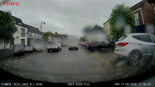
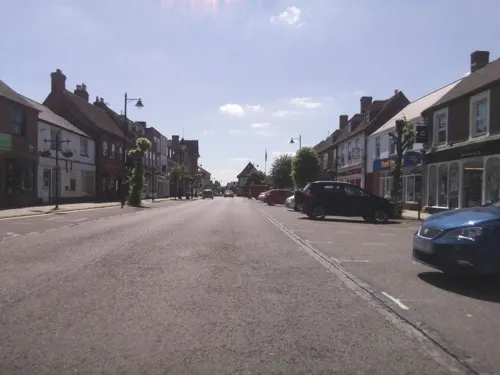
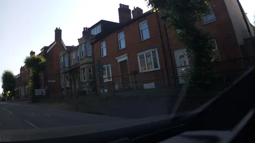
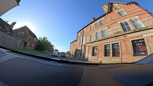
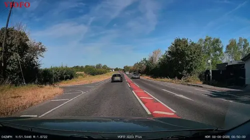
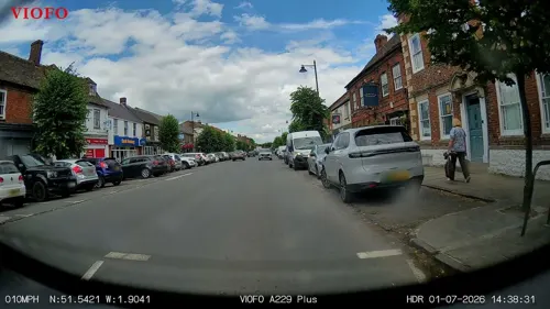
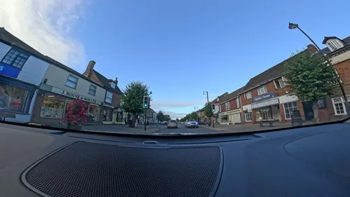



25 more on the map.
History
In June and July of 2014, an excavation carried out by AC archaeology at the Royal Wootton Bassett Sports Hub found the remains of a roundhouse. The roundhouse would have been 9m in diameter and is most likely to be from the Iron Age. To the west of the roundhouse, a field boundary was exposed with mid to late Iron Age pottery found in the fill. It has also been suggested that Brynards Hill was an Iron Age farming settlement and was not a hillfort.
Evidence suggests that settlement continued from the Iron Age where the Royal Wootton Bassett sports hub now stands. A small number of late 1st century finds were excavated in the 2014 AC archaeology excavation. In the northeast corner of the site, evidence for Romano-British settlement was uncovered in the form of post holes representing two possible structures; iron slag and Romano-British pottery were found in the post holes. There were two wells at the site, encountered in the 2014 excavation, one containing the bones of a horse and a dog. Also found was the burial of an infant, who may or may not have been born before they died. Two Roman coins were dug up at the site along with 2,696 shards of Roman pottery.
Read more of the history
The name Wootton is derived from the Old English wudutūn meaning 'wood settlement', referring to Braydon Forest. Sometime prior to the year 1212, the town's manor was held by Alan Basset whose surname was added to the town's name.
AD 681 is usually taken as the starting point for recorded history of Wootton Bassett, then known as Wodeton, it being referred to in that year in a Malmesbury Abbey charter granting land to the Abbot.
Archaeological discoveries in the area tend to confirm the tradition that the original Wodeton was near the present Dunnington Road. Wodeton was sacked by the marauding Danes in 1015, whereupon the survivors decided to move uphill to the site of the present High Street.
Wootton Bassett is mentioned in the Domesday Book of 1086, where it is noted that Miles Crispin held the rights and these included "land for 12 ploughs...a mill...and 24 acres (9.7 ha) of meadow...33 acres of pasture and woodland which is two leagues by a league". It was said to be worth nine pounds.
In the early 21st century, the town paid informal tributes during military repatriation funeral processions which passed through the town, eventually attracting significant media coverage. On 16 March 2011, Prime Minister David Cameron announced, at the start of Prime Minister's Questions, that while "from September, military repatriations will no longer pass through the town of Wootton Bassett", "Her Majesty has agreed to confer the title 'Royal' upon the town, as an enduring symbol of the nation's admiration and gratitude". The addition to the town's name was enacted through letters patent and became effective on 16 October 2011, when The Princess Royal visited the town to present formally the letters patent to the town council. Royal Wootton Bassett is the fourth royal town in the country after Royal Sutton Coldfield, Royal Leamington Spa and Royal Tunbridge Wells, and the first to receive the status in over 100 years.
From the History section of Royal Wootton Bassett on Wikipedia, under CC BY-SA 4.0.
More about Royal Wootton Bassett
Geography
Suburbs of Royal Wootton Bassett include Noremarsh, Coped Hall, Woodshaw and Vastern (a small hamlet to the south). Bishop Fowley is shown on Andrews' and Dury's Map of Wiltshire, 1810 as being an outlying hamlet southwest of the town; the location is now known as Vowley Farm.
Wootton Bassett Mud Spring is a 8,000 m2 (86,000 sq ft) geological Site of Special Scientific Interest, which was notified in 1997, and is known for its large amount of Jurassic fossils.
Economy
The town has always been a market town, and hence with many trades associated with farming and agriculture.
In 1908 Wiltshire United Dairies built a dairy and creamery in the town. Merged in 1916 to form United Dairies, in 1931 a private siding was opened from Wootton Bassett Junction railway station to allow milk trains to service the plant. Merged into Unigate in 1958, the plant became a key production site for the St Ivel Shape brand yoghurts, before being sold to Danone for £32 million. The factory consequently closed in February 2003. The site was sold for £19 million in August 2004, and the factory demolished in June 2005. It was redeveloped as the Beaufort Park housing estate.
Arts and culture
The town has an annual arts festival which involves music, speech, drama, musical theatre, and dance.
In football, the town is represented by Wootton Bassett Town F.C. who play their home games at the 2,000-capacity Gerard Buxton Sports Ground. Other sports clubs include Wootton Bassett Hockey Club, Wootton Bassett Otters Swimming Club, Royal Wootton Bassett Rugby Football Club and Wootton Bassett Bowls Club.
In summer 2015, the Gerard Buxton Sports Ground relocated from Rylands Way to the north side of the Brinkworth Road, just outside the town but walkable and cyclable from most parts. The site is held by trustees and is known overall as Royal Wootton Bassett Sports Association. It is run almost exclusively by volunteers from the participating sports clubs. Initially these were RWB Cricket Club, Hounds (running), the tennis club and the football club; they were joined in 2017 by the North Thames Boules Club (now the Royal Wootton Bassett Petanque Club). The main building hosts changing facilities, a bar and tuck shop, kitchen area, meeting and function rooms.
Local news and television programmes are provided by BBC West and ITV West Country. Television signals are received from the Mendip TV transmitter.
Education
Royal Wootton Bassett has a secondary school, Royal Wootton Bassett Academy, on the north-west edge of the town. There are four primary schools: St Bartholomew's Primary Academy (formerly C of E Primary School), Longleaze Primary School, Noremarsh Junior School and Wootton Bassett Infants' School.
The town is also home to detachments of the Army Cadet Force and the Sea Cadets.
From the Wikipedia article Royal Wootton Bassett, under CC BY-SA 4.0.
Notable people from Royal Wootton Bassett
- Jack BarrettEnglish footballer (1874-1934)
- Lionel AshfieldBritish flying ace (1898-1918)
- David Wyn Evansrugby union player (1965-)
Born in Royal Wootton Bassett, according to Wikidata (CC0). Each name links to its Wikipedia article.
Where to stay1
Churches and places of worship7
Wootton Bassett United Reformed Church
Church · United Reformed
Wood Street, Swindon
Shopping13
Gas and EV charging4
Schools, colleges and libraries9
Healthcare2
Map of Royal Wootton Bassett
91 places. The map loads OpenStreetMap tiles when you open it.
Getting there and nearby towns
RAF Fairford (FFD) is the nearest airport with scheduled flights listed in OpenStreetMap, 11 miles away.
- Swindon 5 mi east, about 9 min by car
- Yate 22 mi west, about 36 min by car
- Bath 23 mi southwest, about 37 min by car
- Cheltenham 26 mi north, about 42 min by car
- Gloucester 27 mi northwest, about 43 min by car
- Bristol 30 mi west, about 49 min by car
- Oxford 31 mi northeast, about 50 min by car
- Basingstoke 40 mi southeast, about 1 h by car
- Reading 41 mi east, about 1 h by car
- Newport 47 mi west, about 1 h 15 min by car
Drive times are estimates from straight-line distance, not routes.
Towns near Royal Wootton Bassett


Keep exploring
Local news
Headlines from INDB.
Reviews, tips and questions
Loading what members have shared...
Sources and licences
- GeoNames (CC BY 4.0): population, coordinates, regions and time zone
- Mapillary (see each image): photos
- OpenStreetMap contributors (ODbL 1.0): places, airports, map data
- Wikidata (CC0 1.0): elevation, founding date, time zone, website, landmarks and historic places
- Wikimedia Commons (see each image): photos
- Wikipedia (CC BY-SA 4.0): overview and history text
Photo credits
- Lydiard House, Swindon, Delta 51, CC BY-SA 4.0
- St Mary's Church, Purton, Nigel Cox, CC BY-SA 2.0
- Royal Wootton Bassett War Memorial, Wiltshire, Memorialman, CC BY-SA 4.0
- Bincknoll Castle - panoramio, ian freeman, CC BY-SA 3.0
- Street-level photo, RyanBush, CC BY-SA 4.0
- Street-level photo, southglos, CC BY-SA 4.0
- Street-level photo, RyanBush, CC BY-SA 4.0
- Street-level photo, RyanBush, CC BY-SA 4.0
- Street-level photo, RyanBush, CC BY-SA 4.0
- Street-level photo, southglos, CC BY-SA 4.0
- Street-level photo, RyanBush, CC BY-SA 4.0
- Street-level photo, trigpoint, CC BY-SA 4.0
- Street-level photo, RyanBush, CC BY-SA 4.0
- Street-level photo, RyanBush, CC BY-SA 4.0
- Street-level photo, RyanBush, CC BY-SA 4.0
- Street-level photo, RyanBush, CC BY-SA 4.0
- Street-level photo, RyanBush, CC BY-SA 4.0
- Street-level photo, RyanBush, CC BY-SA 4.0
- Street-level photo, southglos, CC BY-SA 4.0
- Street-level photo, RyanBush, CC BY-SA 4.0
- Street-level photo, RyanBush, CC BY-SA 4.0
- Street-level photo, southglos, CC BY-SA 4.0
- Street-level photo, RyanBush, CC BY-SA 4.0
- Street-level photo, RyanBush, CC BY-SA 4.0
- Street-level photo, RyanBush, CC BY-SA 4.0
Page built November 10, 2026. Spotted a mistake? Tell us or suggest a place.