


Why visit Martham
Townapedia lists 2 museums and landmarks, 3 parks and trails, 4 places to eat, 3 places to stay and 2 attractions in and around town.
Highlights include Horsey Beach, Winterton Lighthouse, Blitz and Pieces and The Broads.
Weather in Martham
Forecast from MET Norway (CC BY 4.0). Full forecast
About Martham
Martham is a village and civil parish in the Borough of Great Yarmouth in Norfolk. England. It is situated some 10 mi (16 km) north-west of the town of Great Yarmouth and 19 mi (31 km) north-east of the city of Norwich.
From the Wikipedia article Martham (this version), under CC BY-SA 4.0.
Things to do2


Winterton Lighthouse
Lighthouse · 2.5 mi
Lighthouse in Norfolk, England
Museums and landmarks2

Blitz and Pieces
Museum · 3.5 mi
Museum in Scratby in Great Yarmouth, England

Parks, trails and playgrounds3

The Broads
Park · 1.4 mi
Network of rivers and lakes in the English counties of Norfolk and Suffolk


Restaurants and cafes4
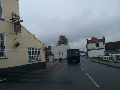
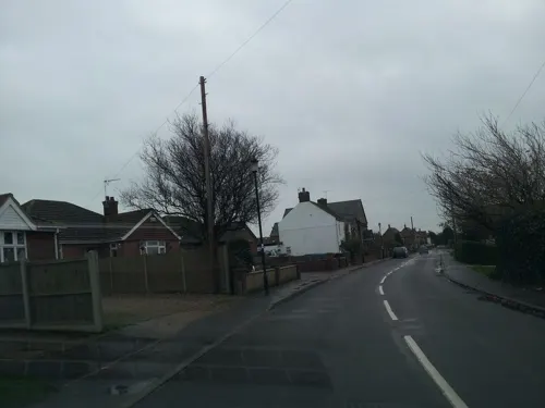
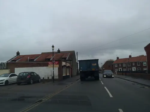
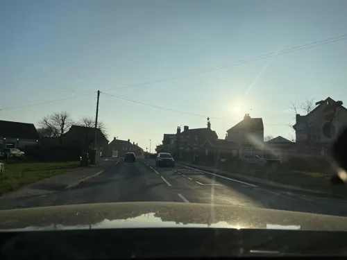
History
The villages name means 'marten homestead/village' or 'weasel/marten hemmed-in land'. The Saxons settled in Martham around AD601 and gave the village its name, "the ham of the martens", the home of the polecats. Bracey's Mill is a drainage mill built in 1908. It was converted to residential use in 1955.
From the History section of Martham on Wikipedia, under CC BY-SA 4.0.
More about Martham
Education
Education is available in the village from Early Years to aged 16. Martham Primary & Nursery caters for children up to Year 6, with Flegg High School taking students from Year 7 to Year 11. Post 16 education is available at other establishments outside of Martham.
From the Wikipedia article Martham, under CC BY-SA 4.0.
Where to stay3
Churches and places of worship5
Shopping1
Schools, colleges and libraries4
Map of Martham
24 places. The map loads OpenStreetMap tiles when you open it.
Getting there and nearby towns
Norwich Airport (NWI) is the nearest airport with scheduled flights listed in OpenStreetMap, 15 miles away.
- Ormesby St Margaret 3 mi southeast, about 5 min by car
- Acle 6 mi southwest, about 10 min by car
- Horning 7 mi west, about 12 min by car
- Great Yarmouth 8 mi southeast, about 12 min by car
- Bradwell 9 mi south, about 15 min by car
- Reedham 10 mi south, about 17 min by car
- Rackheath 11 mi west, about 18 min by car
- Coltishall 11 mi west, about 18 min by car
- North Walsham 13 mi northwest, about 21 min by car
- Norwich 15 mi west, about 24 min by car
Drive times are estimates from straight-line distance, not routes.
Towns near Martham


Keep exploring
Local news
Headlines from INDB.
Reviews, tips and questions
Loading what members have shared...
Sources and licences
- GeoNames (CC BY 4.0): population, coordinates, regions and time zone
- Mapillary (see each image): photos
- OpenStreetMap contributors (ODbL 1.0): places, airports, map data
- Wikidata (CC0 1.0): elevation, founding date, time zone, website, landmarks and historic places
- Wikimedia Commons (see each image): photos
- Wikipedia (CC BY-SA 4.0): overview and history text
Photo credits
- Horsey Gap (17566865835), Jeremy Halls, CC BY-SA 2.0
- Blitz and Pieces Grocer, Jack1956, CC0
- Ricking the reed, Peter Henry Emerson, Public domain
- Winterton Dunes DSC00508, Northmetpit ( talk ) 15:42, 12 January 2008 (UTC), CC BY-SA 3.0
- Street-level photo, wasd42, CC BY-SA 4.0
- Street-level photo, adam2, CC BY-SA 4.0
- Street-level photo, wasd42, CC BY-SA 4.0
- Street-level photo, adam2, CC BY-SA 4.0
- Street-level photo, adam2, CC BY-SA 4.0
- Street-level photo, adam2, CC BY-SA 4.0
Page built November 10, 2026. Spotted a mistake? Tell us or suggest a place.