


Why visit Methven
Townapedia lists 4 museums and landmarks, 1 park or trail, 4 places to eat and 2 places to stay in and around town.
Weather in Methven
Forecast from MET Norway (CC BY 4.0). Full forecast
About Methven
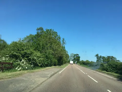
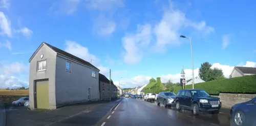
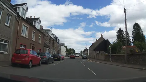
Methven (; Scottish Gaelic: Meadhainnigh) is a large village in the Scottish region of Perth and Kinross, on the A85 road due west of the city of Perth. It is near the village of Almondbank. The village has its own primary school, church, bowling club, community halls, playing field with sports facilities and skate-park, and a variety of businesses.
From the Wikipedia article Methven, Perth and Kinross (this version), under CC BY-SA 4.0.
Museums and landmarks4

Parks, trails and playgrounds1

Restaurants and cafes4
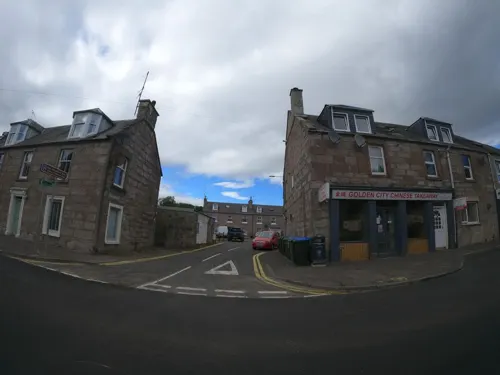
Golden City Chinese Take-Away
Fast food · Chinese
70 Main Street
Where to stay2

History
The Battle of Methven took place in 1306, when Scottish forces (led by newly crowned King Robert the Bruce) were ambushed by English forces (led by Aymer de Valence, 2nd Earl of Pembroke), resulting in a victory for the English. This was part of the Scottish Wars of Independence, in which the Scots eventually vanquished the English invaders and restored the nation’s independence.
There used to be a Royal Air Force station nearby called RAF Methven.
Smiddy House, at 42–44 Main Street, was built around 1840. It is now considered at-risk due to its condition.
From the History section of Methven, Perth and Kinross on Wikipedia, under CC BY-SA 4.0.
Notable people from Methven
 James Stirling(1800–1876) Scottish engineerPhoto: chevin, Public domain
- Robert Stirlingclergyman, engineer, inventor of the Stirling engine (1790–1878)
- David Ritchiemoderator of the General Assembly of the Church of Scotland, 1814/15
- Andrew BrownScottish–born Australian industrialist and philanthropist
Born in Methven, according to Wikidata (CC0). Each name links to its Wikipedia article.
Churches and places of worship1
Shopping1
Schools, colleges and libraries1
Healthcare1
Map of Methven
15 places. The map loads OpenStreetMap tiles when you open it.
Getting there and nearby towns
Perth Airport (PSL) is the nearest airport with scheduled flights listed in OpenStreetMap, 8 miles away.
- Perth 6 mi east, about 9 min by car
- Glenrothes 22 mi southeast, about 35 min by car
- Alloa 22 mi south, about 36 min by car
- Dundee 23 mi east, about 38 min by car
- Cowdenbeath 23 mi southeast, about 37 min by car
- Dunfermline 24 mi south, about 39 min by car
- Stirling 25 mi southwest, about 40 min by car
- Kirkcaldy 26 mi southeast, about 42 min by car
- Rosyth 27 mi south, about 43 min by car
- Methil 27 mi southeast, about 43 min by car
Drive times are estimates from straight-line distance, not routes.
Towns near Methven


Keep exploring
Local news
Headlines from INDB.
Reviews, tips and questions
Loading what members have shared...
Sources and licences
- GeoNames (CC BY 4.0): population, coordinates, regions and time zone
- Mapillary (see each image): photos
- OpenStreetMap contributors (ODbL 1.0): places, airports, map data
- Wikidata (CC0 1.0): elevation, founding date, time zone, website
- Wikimedia Commons (see each image): photos
- Wikipedia (CC BY-SA 4.0): overview and history text
Photo credits
- Football pitch at Methven (8599369360), grassrootsgroundswell, CC BY 2.0
- Harvested field outside Methven with Newbigging in the background, Scott Cormie, CC BY-SA 2.0
- Street-level photo, hobgoblin, CC BY-SA 4.0
- Street-level photo, southglos, CC BY-SA 4.0
- Street-level photo, hobgoblin, CC BY-SA 4.0
- Street-level photo, southglos, CC BY-SA 4.0
- Street-level photo, hobgoblin, CC BY-SA 4.0
- Street-level photo, southglos, CC BY-SA 4.0
- Street-level photo, ccbb7766, CC BY-SA 4.0
Page built November 10, 2026. Spotted a mistake? Tell us or suggest a place.