

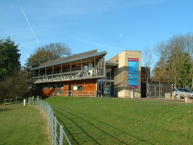


Middlestown, United Kingdom
Middlestown is a town of 2,402 people in England, United Kingdom.
Why visit Middlestown
Townapedia lists 12 museums and landmarks, 5 parks and trails and 32 places to eat in and around town.
Highlights include National Coal Mining Museum, Dewsbury Bus Museum, Crow Nest Park and Yorkshire Sculpture Park.
Weather in Middlestown
Forecast from MET Norway (CC BY 4.0). Full forecast
About Middlestown
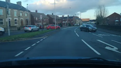
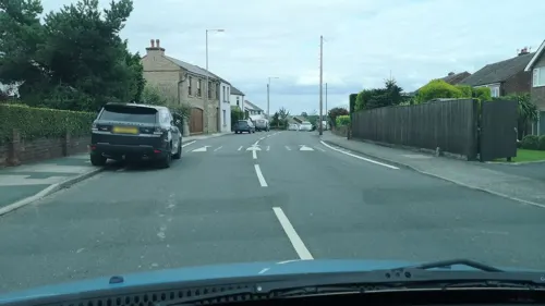
Middlestown is a small village in the Wakefield District in West Yorkshire, England. The village is in the civil parish of Sitlington and located halfway between the city of Wakefield and the town of Huddersfield, and is 3 miles (5 km) south east of Dewsbury.
From the Wikipedia article Middlestown (this version), under CC BY-SA 4.0.
Museums and landmarks12


Dewsbury Bus Museum
Museum · 3.4 mi
Bus museum in Ravensthorpe, West Yorkshire, England

National Coal Mining Museum for England
Museum · 1.1 mi
Coal mining museum in Yorkshire, England, United Kingdom

Old Thornhill Hall
Monument and historic site · 1.2 mi
Destroyed during the civil war, Thomas Cromwell and the Royalist army were engaged in battle. The Ammunition cache caught fire and blew...
Walker Welfare Building [Demolished]
Monument and historic site · 1.2 mi
Demolished walker welfare building, Kirklees council failed to provide the community with adequate support in a timely manner. The...
Ancient Memorial and corpus of anglo-saxon carvings
Monument and historic site · 1.3 mi
Parks, trails and playgrounds5

Crow Nest Park
Park · 3.4 mi
Green Flag public park in Yorkshire, England, UK

Yorkshire Sculpture Park
Park · 2.8 mi
Sculpture park in West Bretton, Yorkshire, United Kingdom

The Secret Garden Soft Play Centre
Playground · 0.8 mi
223a Bridge Road, Wakefield

Restaurants and cafes32
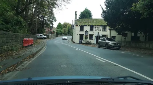
Savile Arms
Bar and pub · 1.3 mi
Church Lane, Dewsbury
Mo-Th 16:00-23:00, Fr 16:00-00:00, Sa 12:00-00:00, Su 12:00-23:00

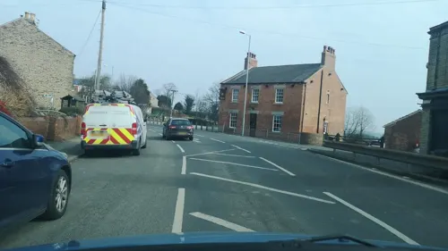
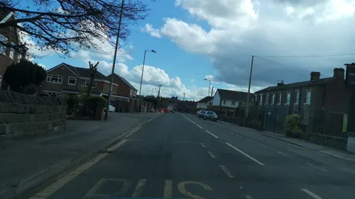

Seed Room Cafe
Cafe · 0.6 mi
New Road, Wakefield
Mo-Fr 09:00-16:30; Su 10:00-16:00

20 more on the map.
Churches and places of worship10

Church In Bretton Park
Church · 3.0 mi
Church building in West Bretton, United Kingdom

Church of St John the Divine, Calder Grove
Church · 2.5 mi
Church in Crigglestone, Wakefield, West Yorkshire, England, UK

Church of the Holy Trinity
Church · 2.5 mi
Church in Ossett, West Yorkshire, England, UK


Dewsbury Minster
Church · 3.0 mi
Church in Dewsbury, West Yorkshire, England, UK
St Peter and St Leonard's Church, Horbury
Church · 1.9 mi
Grade I listed church in Horbury, Wakefield, West Yorkshire, England, UK
History
The villages of Middlestown, Netherton, Overton and Midgley are built around and overlook the Coxley Valley. Whilst the village is not recorded in the Domesday Book, the place-name is recorded as far back as 1322 as Middles(c)hitelington. This was originally Middle Shitlington, the Middle part of that parish,which was renamed to Sitlington in 1929, to avoid the rude inference of the word Shit.
The Middlestown built-up area contains two Nature Reserves, managed by Yorkshire Wildlife Trust, and is also home to the National Coal Mining Museum for England in neighbouring Overton. The population of the built-up area at the 2011 census was 2,366.
The M1 motorway is within 5 miles (8 km) from the village. The A642 road between Huddersfield and Wakefield passes through the village, it was built in the 1830s as a turnpike.
From the History section of Middlestown on Wikipedia, under CC BY-SA 4.0.
Notable people from Middlestown
 Mick GrantBritish motorcycle racerPhoto: Goll116, CC BY-SA 3.0
Born in Middlestown, according to Wikidata (CC0). Each name links to its Wikipedia article.
Shopping2
Gas and EV charging1
Schools, colleges and libraries7
Horbury Bridge Church of England Junior and Infant Academy
School · Anglican · 1.0 mi
Bridge Road, Wakefield
Healthcare1
Map of Middlestown
70 places. The map loads OpenStreetMap tiles when you open it.
Getting there and nearby towns
Leeds Bradford Airport (LBA) is the nearest airport with scheduled flights listed in OpenStreetMap, 15 miles away.
- Horbury 2 mi northeast, about 3 min by car
- Ossett 2 mi north, about 3 min by car
- Flockton 2 mi southwest, about 4 min by car
- Dewsbury 3 mi northwest, about 5 min by car
- Emley 3 mi southwest, about 5 min by car
- Batley 4 mi north, about 6 min by car
- Mirfield 4 mi west, about 7 min by car
- Scissett 4 mi south, about 7 min by car
- Wakefield 5 mi northeast, about 8 min by car
- Heckmondwike 5 mi northwest, about 8 min by car
Drive times are estimates from straight-line distance, not routes.
Towns near Middlestown


Keep exploring
Local news
Headlines from INDB.
Reviews, tips and questions
Loading what members have shared...
Sources and licences
- GeoNames (CC BY 4.0): population, coordinates, regions and time zone
- Mapillary (see each image): photos
- OpenStreetMap contributors (ODbL 1.0): places, airports, map data
- Wikidata (CC0 1.0): elevation, founding date, time zone, website, landmarks and historic places
- Wikimedia Commons (see each image): photos
- Wikipedia (CC BY-SA 4.0): overview and history text
Photo credits
- 995 and 670 at DBM, 24 Barnsley Road, CC BY-SA 4.0
- TheYorkshireSculpturePark(NigelHomer)Nov2005, Nigel Homer, CC BY-SA 2.0
- Bretton Chapel, J3Mrs, CC BY-SA 3.0
- St John Calder Grove 005, Storye book, CC BY 3.0
- Holy Trinity, Ossett, Tim Green, CC BY 2.0
- St Michael and All Angels, Thornhill 1, Tim Green, CC BY 2.0
- Bingley Arms, Horbury Bridge. Taken by Flickr user (14th October 2012), Flickr user:Tim Green aka atouch, CC BY 2.0
- National Coal Mining Museum, Maurice Miner, CC BY-SA 4.0
- The Eagle has Landed 1- in Crow Nest Park (8060315604), Tim Green from Bradford, CC BY 2.0
- Street-level photo, cuttlebug, CC BY-SA 4.0
- Street-level photo, cuttlebug, CC BY-SA 4.0
- Street-level photo, cuttlebug, CC BY-SA 4.0
- Street-level photo, cuttlebug, CC BY-SA 4.0
- Street-level photo, cuttlebug, CC BY-SA 4.0
- Street-level photo, cuttlebug, CC BY-SA 4.0
- Street-level photo, cuttlebug, CC BY-SA 4.0
- Street-level photo, cuttlebug, CC BY-SA 4.0
- Street-level photo, cuttlebug, CC BY-SA 4.0
- Street-level photo, cuttlebug, CC BY-SA 4.0
- Street-level photo, cuttlebug, CC BY-SA 4.0
- Street-level photo, cuttlebug, CC BY-SA 4.0
- Street-level photo, cuttlebug, CC BY-SA 4.0
- Street-level photo, cuttlebug, CC BY-SA 4.0
- Street-level photo, cuttlebug, CC BY-SA 4.0
- Street-level photo, cuttlebug, CC BY-SA 4.0
- Street-level photo, cuttlebug, CC BY-SA 4.0
- Street-level photo, cuttlebug, CC BY-SA 4.0
- Street-level photo, cuttlebug, CC BY-SA 4.0
- Street-level photo, cuttlebug, CC BY-SA 4.0
- Street-level photo, cuttlebug, CC BY-SA 4.0
- Street-level photo, cuttlebug, CC BY-SA 4.0
- Street-level photo, cuttlebug, CC BY-SA 4.0
- Street-level photo, cuttlebug, CC BY-SA 4.0
- Street-level photo, cuttlebug, CC BY-SA 4.0
Page built November 10, 2026. Spotted a mistake? Tell us or suggest a place.