


Minchinhampton, United Kingdom
Minchinhampton is a town of 2,500 people in England, United Kingdom.
Why visit Minchinhampton
Townapedia lists 14 museums and landmarks, 6 parks and trails, 21 places to eat, 2 places to stay and 1 attraction in and around town.
Highlights include Arcade Archive, Thames & Severn Canal, Frome Banks and Neu-Lindsey Nature Reserve.
Weather in Minchinhampton
Forecast from MET Norway (CC BY 4.0). Full forecast
About Minchinhampton
Minchinhampton is a Cotswolds market town and a civil parish in the Stroud District of Gloucestershire, South West England. The town is located on a hilltop, 4 miles (6.4 km) south-east of Stroud. Minchinhampton Common offers wide views over the Severn Estuary into Wales and further into the Cotswolds. It is an ancient town which was recorded in the Domesday Book.
From the Wikipedia article Minchinhampton (this version), under CC BY-SA 4.0.
Travel tips from other travellers: Minchinhampton on Wikivoyage (CC BY-SA 4.0).
Things to do1

Museums and landmarks14
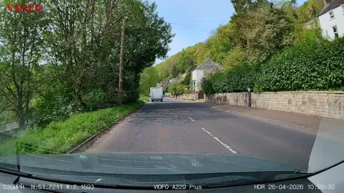
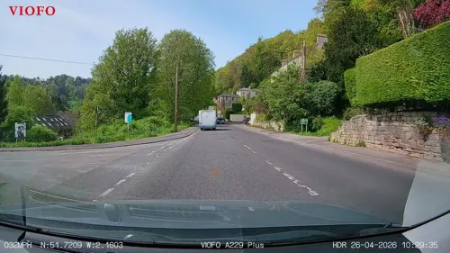
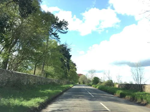
Longstone of Minchinhampton
Monument and historic site · 0.9 mi
Standing stone on Minchinhampton Common in Minchinhampton, Gloucestershire, England, UK
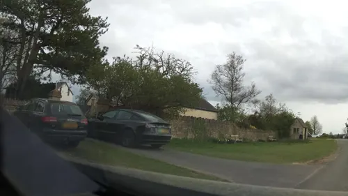



2 more on the map.
Parks, trails and playgrounds6


Neu-Lindsey Nature Reserve
Park · 1.7 mi
Small nature reserve in England

Three Groves Wood
Park · 2.8 mi
Nature reserve in Gloucestershire, England


Restaurants and cafes21
Balti Nailsworth
Restaurant · Indian · 1.5 mi
George Street, Stroud
Su-Th 17:00-22:00; Fr-Sa 17:00-22:30
Vintopia
Brewery and winery · 1.3 mi
Avening Road, Stroud
Mo-Th 10:00-17:30; Fr-Sa 10:00-18:00; Su "Opening Soon"; PH off
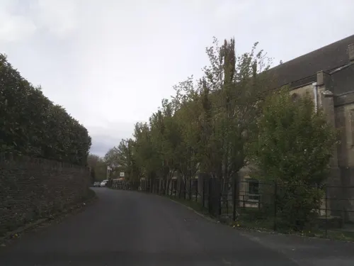
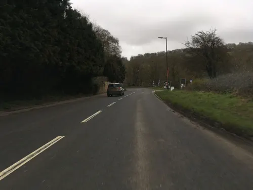
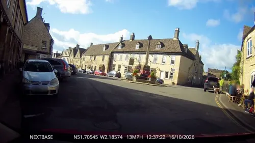

9 more on the map.
History
Across the town, many plaques displaying 'West Country Ales- Best in the West- 1760' are situated on the walls of buildings. These were given to pubs at the time in relation to Stroud Brewery. In 1958, Stroud & Cheltenham Breweries merged to form West Country Breweries Ltd, and the plaques were replaced to say 'West Country Ales'. The 1760 date shown is in relation to the year that both Stroud Brewery and Cheltenham Brewery were established. These plaques can be seen outside The Crown, Market Place, Ram Inn (pub now closed), Swan Inn at West End (pub now closed), Trumpet Inn at West End (pub now closed).
From the History section of Minchinhampton on Wikipedia, under CC BY-SA 4.0.
Notable people from Minchinhampton
- Joanna TrollopeEnglish writer (1943–2025)
- Lewis PellyBritish politician (1825-1892)
- Jeremy Dale RobertsBritish composer (1934–2017)
- Somerset PlayneExplorer from British India
- Mary DeverellEnglish writer, essayist (1731-1805)
- Stanley Wyatt SmithBritish diplomat (1887-1958)
Born in Minchinhampton, according to Wikidata (CC0). Each name links to its Wikipedia article.
Where to stay2
Churches and places of worship11
Shopping5
Cotswold Canals Trust Charity Book and Music Shop, Brimscombe
Shop · 1.0 mi
Brimscombe Corner, Stroud
Gas and EV charging6
Schools, colleges and libraries6
Healthcare2
Map of Minchinhampton
74 places. The map loads OpenStreetMap tiles when you open it.
Getting there and nearby towns
Cotswold Airport (GBA) is the nearest airport with scheduled flights listed in OpenStreetMap, 6 miles away.
- Brimscombe 1 mi north, about 1 min by car
- Avening 2 mi south, about 3 min by car
- Stroud 3 mi north, about 5 min by car
- Painswick 5 mi north, about 9 min by car
- Coates 6 mi east, about 10 min by car
- Dursley 7 mi west, about 12 min by car
- Eastington 7 mi northwest, about 11 min by car
- Cirencester 9 mi east, about 15 min by car
- Frampton on Severn 9 mi northwest, about 14 min by car
- Gloucester 11 mi north, about 18 min by car
Drive times are estimates from straight-line distance, not routes.
Towns near Minchinhampton


Keep exploring
Local news
Headlines from INDB.
Reviews, tips and questions
Loading what members have shared...
Sources and licences
- GeoNames (CC BY 4.0): population, coordinates, regions and time zone
- Mapillary (see each image): photos
- OpenStreetMap contributors (ODbL 1.0): places, airports, map data
- Wikidata (CC0 1.0): elevation, founding date, time zone, website, landmarks and historic places
- Wikimedia Commons (see each image): photos
- Wikipedia (CC BY-SA 4.0): overview and history text
Photo credits
- Minch market square, Jongleur100, Public domain
- Northern Side of Holy Trinity, Minchinhampton, Ethan Doyle White, CC BY-SA 4.0
- Minchinhampton's Holy Trinity Church from the Northeast, Ethan Doyle White, CC BY-SA 4.0
- The Market House in Minchinhampton, Ethan Doyle White, CC BY-SA 4.0
- Churchyard of Holy Trinity Church, Minchinhampton, Ethan Doyle White, CC BY-SA 4.0
- RiverFrome, Jongleur100, Public domain
- Tettigonia viridissima, Kristian Peters -- Fabelfroh 12:00, 16 September 2007 (UTC), CC BY-SA 3.0
- Nuthatch (Sitta europaea) (13), Ken Billington, CC BY-SA 3.0
- AveningChurch8423, Clem Rutter, Rochester Kent, CC BY 2.5
- Selsley Church, Saffron Blaze, CC BY-SA 3.0
- St Mary of the Angels Church, Brownshill 03, Rodw, CC BY-SA 4.0
- Gatcombe Park ST8798, Philip Halling, CC BY-SA 2.0
- Minchinhampton.church.arp, Unknown author, Public domain
- AMBERLEY, Holy Trinity - ext (51102998246), The National Churches Trust, CC BY 2.0
- Minchinhampton - Church of the Holy Trinity - 20111018113635, Ianwstokes, CC BY-SA 4.0
- Christchurch Chalford, Jongleur100, Public domain
- Street-level photo, OrangeHurst97, CC BY-SA 4.0
- Street-level photo, OrangeHurst97, CC BY-SA 4.0
- Street-level photo, RyanBush, CC BY-SA 4.0
- Street-level photo, southglos, CC BY-SA 4.0
- Street-level photo, southglos, CC BY-SA 4.0
- Street-level photo, RyanBush, CC BY-SA 4.0
- Street-level photo, southglos, CC BY-SA 4.0
- Street-level photo, southglos, CC BY-SA 4.0
- Street-level photo, southglos, CC BY-SA 4.0
- Street-level photo, southglos, CC BY-SA 4.0
- Street-level photo, OrangeHurst97, CC BY-SA 4.0
- Street-level photo, southglos, CC BY-SA 4.0
- Street-level photo, southglos, CC BY-SA 4.0
- Street-level photo, southglos, CC BY-SA 4.0
- Street-level photo, southglos, CC BY-SA 4.0
- Street-level photo, RyanBush, CC BY-SA 4.0
- Street-level photo, southglos, CC BY-SA 4.0
- Street-level photo, southglos, CC BY-SA 4.0
- Street-level photo, southglos, CC BY-SA 4.0
- Street-level photo, OrangeHurst97, CC BY-SA 4.0
- Street-level photo, southglos, CC BY-SA 4.0


Page built November 10, 2026. Spotted a mistake? Tell us or suggest a place.